Àird a' Mhòrain
Hill, Mountain in Inverness-shire
Scotland
Àird a' Mhòrain
Àird a' Mhòrain, located in Inverness-shire, is a prominent hill or mountain in the Scottish Highlands. Standing at an elevation of 1,129 meters (3,704 feet), it offers breathtaking views of the surrounding landscape and is a popular destination for hikers and outdoor enthusiasts.
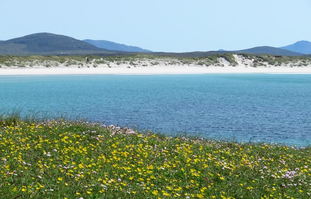
The mountain is characterized by its rugged terrain, which includes steep slopes, rocky outcrops, and grassy meadows. It is part of the Cairngorms National Park, one of the largest protected areas in the United Kingdom, known for its diverse flora and fauna. Àird a' Mhòrain is home to a variety of plant species, including heather, moss, and wildflowers, which add vibrant colors to the landscape during the summer months.
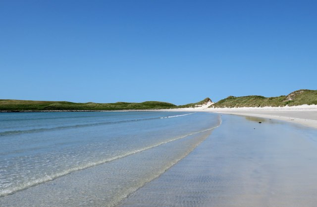
The summit of Àird a' Mhòrain provides panoramic views of the surrounding mountains, lochs, and glens. On a clear day, it is possible to see as far as the Isle of Skye and the Inner Hebrides. The mountain's location also offers a chance to spot wildlife such as red deer, golden eagles, and mountain hares.
For those seeking outdoor adventure, there are several hiking trails that lead to the summit of Àird a' Mhòrain. These routes vary in difficulty, catering to both experienced climbers and beginners. It is recommended to come prepared with appropriate gear, as the weather conditions can change rapidly, and navigation skills are essential.
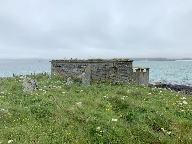
Àird a' Mhòrain is not only a natural beauty, but it also holds historical significance in the region. The mountain has played a role in local folklore and has been a source of inspiration for artists and writers throughout the years.
In summary, Àird a' Mhòrain is a stunning hill or mountain in Inverness-shire, offering breathtaking views, diverse flora and fauna, and a chance to immerse oneself in the natural beauty of the Scottish Highlands.
If you have any feedback on the listing, please let us know in the comments section below.
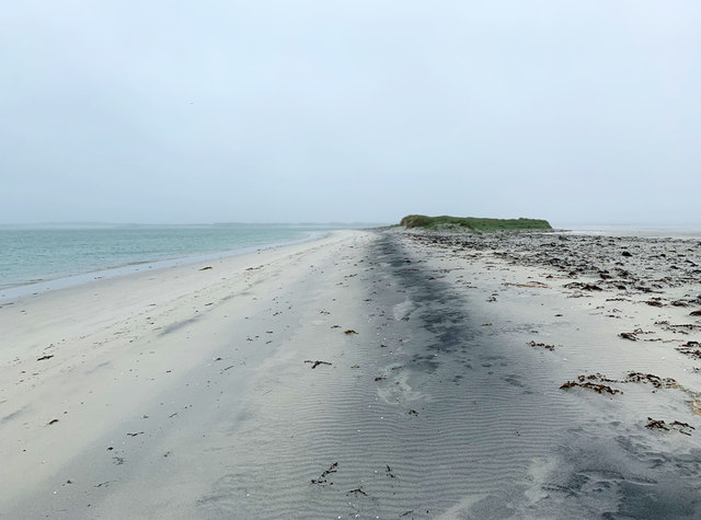
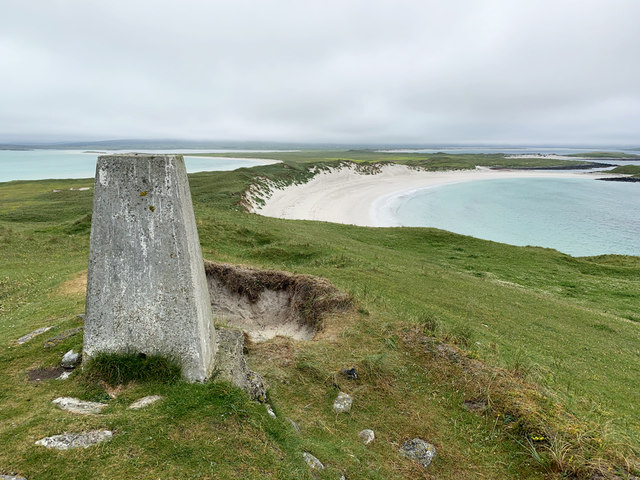
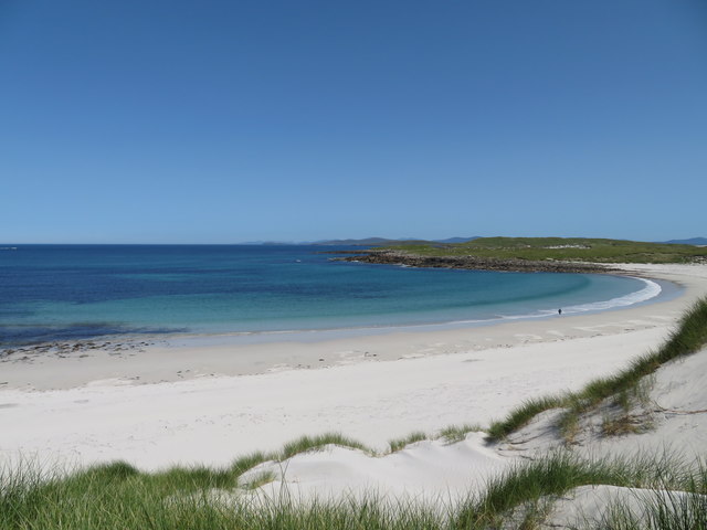
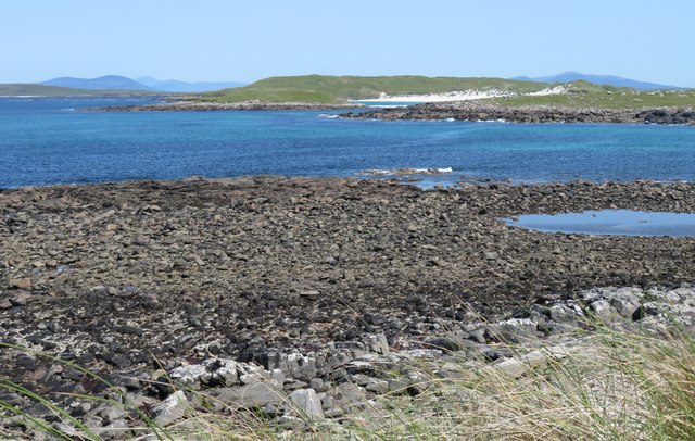
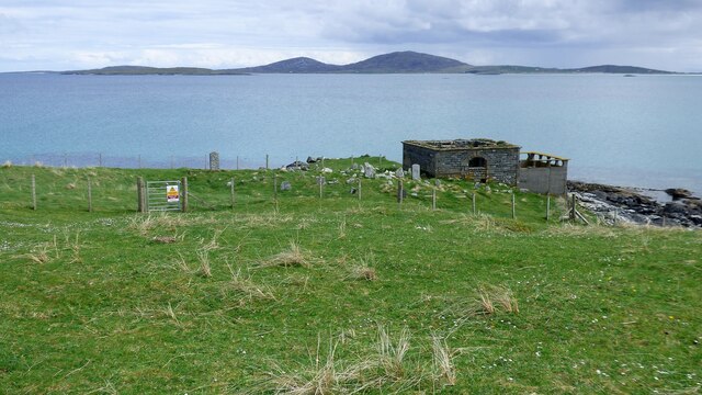
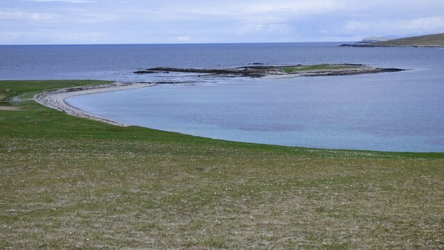
Àird a' Mhòrain Images
Images are sourced within 2km of 57.689417/-7.3195689 or Grid Reference NF8379. Thanks to Geograph Open Source API. All images are credited.


Àird a' Mhòrain is located at Grid Ref: NF8379 (Lat: 57.689417, Lng: -7.3195689)
Unitary Authority: Na h-Eileanan an Iar
Police Authority: Highlands and Islands
What 3 Words
///mixture.receive.suggested. Near Lochmaddy, Na h-Eileanan Siar
Nearby Locations
Related Wikis

Oronsay, Outer Hebrides
Oronsay (Gaelic Orasaigh) is a tidal island off North Uist in the Outer Hebrides. Lying to the north of Vallaquie Strand, the island has been uninhabited...

Boreray, North Uist
Boreray (Scottish Gaelic: Boraraigh) is an island with a single croft, lying 2 kilometres (1.2 mi) north of North Uist in the Outer Hebrides of Scotland...

Lingeigh, North Uist
Lingeigh is an uninhabited island off North Uist, south east of Boreray. It is separated from North Uist by Traigh Lingeigh. == Footnotes ==

Sollas
Sollas (Scottish Gaelic: Solas) is a small crofting township on the northern coast of the island of North Uist, Scotland. == History == === The Battle... ===
Nearby Amenities
Located within 500m of 57.689417,-7.3195689Have you been to Àird a' Mhòrain?
Leave your review of Àird a' Mhòrain below (or comments, questions and feedback).