Aird Neacail

Hill, Mountain in Inverness-shire

Scotland

Aird Neacail

Garage by the A865 Filling station and workshops by the A865 on Benbecula. Fuel might be expensive on the Outer Hebrides, but it's still cheaper than motorway prices.
Garage by the A865 Credit: Gordon Hatton

Aird Neacail is a prominent hill located in Inverness-shire, Scotland. It stands at an elevation of 456 meters (1,496 feet) above sea level and offers stunning panoramic views of the surrounding countryside. The hill is a popular destination for hikers and outdoor enthusiasts due to its relatively easy access and well-defined trails.

Aird Neacail is known for its rugged terrain, with rocky outcrops and steep slopes that provide a challenging yet rewarding hiking experience. The hill is home to a variety of plant and animal species, making it a haven for nature lovers and wildlife enthusiasts.

The summit of Aird Neacail offers breathtaking views of the surrounding landscape, including the nearby Loch Ness and the Great Glen. On a clear day, visitors can see as far as the Cairngorms and Ben Nevis, Scotland's highest mountain.

Overall, Aird Neacail is a must-visit destination for those looking to experience the natural beauty and tranquility of the Scottish Highlands. Whether you're an experienced hiker or just looking for a scenic walk, this hill has something to offer for everyone.

If you have any feedback on the listing, please let us know in the comments section below.
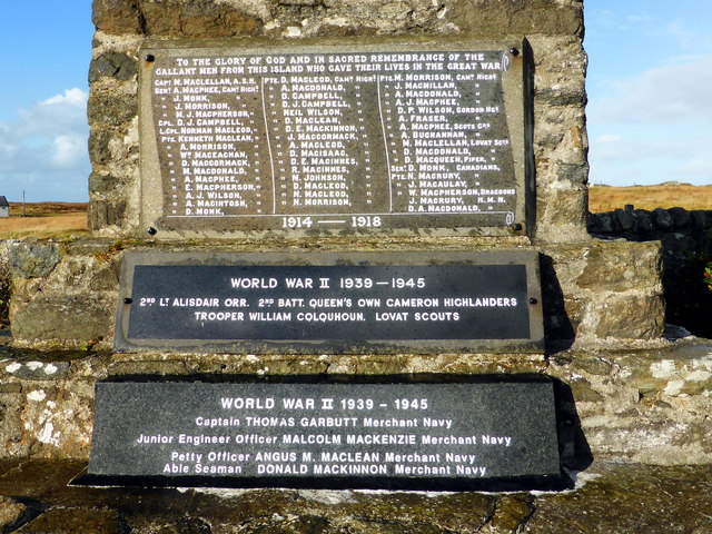
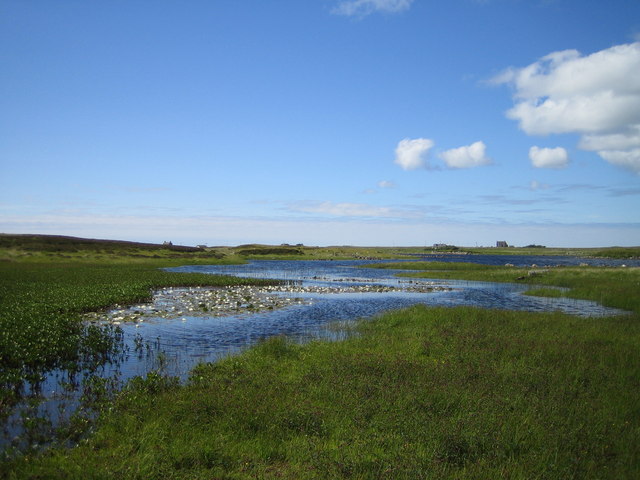
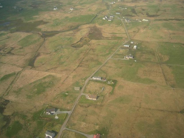
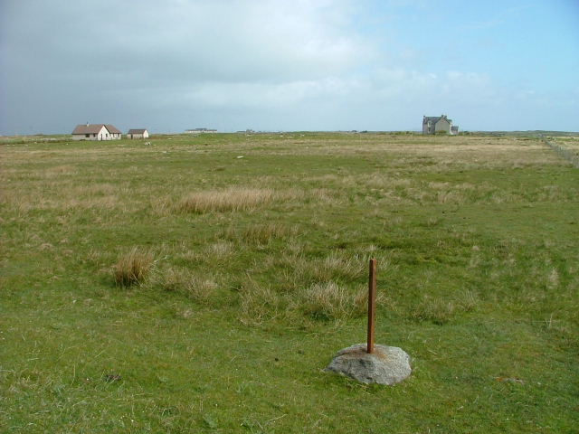
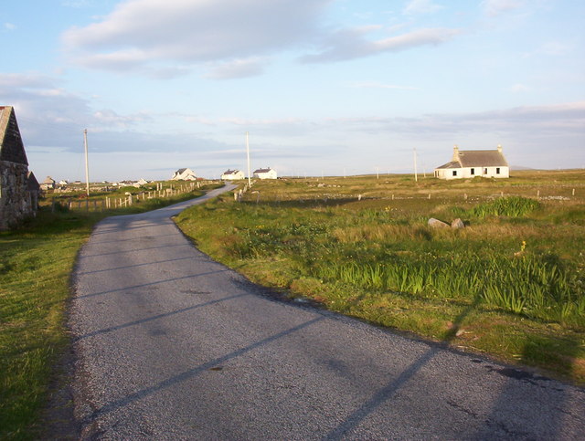
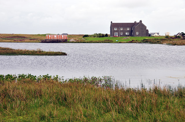
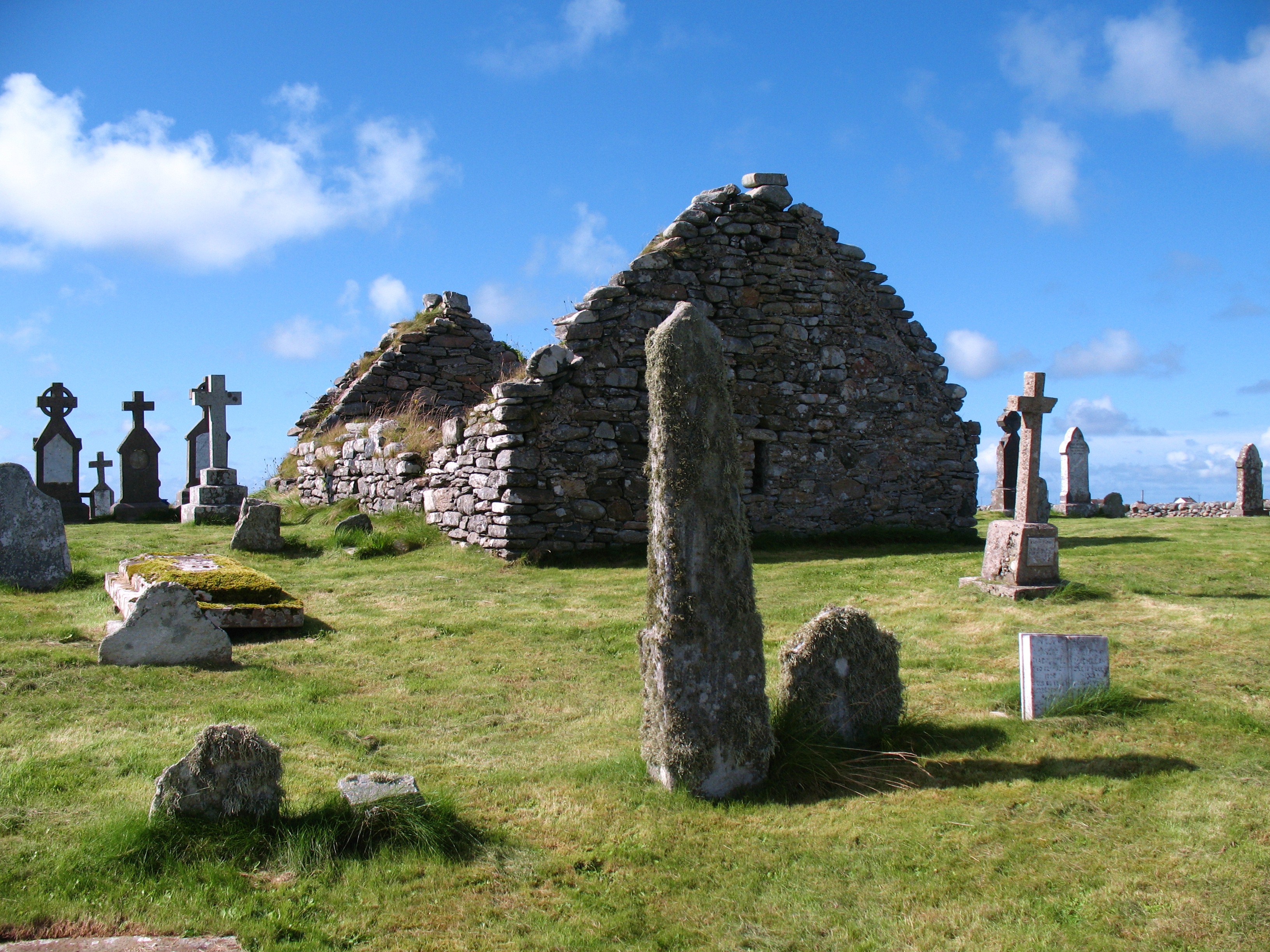
Aird Neacail Images

Images are sourced within 2km of 57.439461/-7.339546 or Grid Reference NF7951. Thanks to Geograph Open Source API. All images are credited.

Garage by the A865 Filling station and workshops by the A865 on Benbecula. Fuel might be expensive on the Outer Hebrides, but it's still cheaper than motorway prices.
Garage by the A865
Filling station and workshops by the A865 on Benbecula. Fuel might be expensive on the Outer Hebrides, but it's still cheaper than motorway prices.
Griminish: postbox № HS7 43, Church Hill This postbox stands in probably what would be considered the centre of the village, by a cluster of houses which we see in the background, through the walls of a bus shelter. The box is emptied at 1:30pm on weekdays and at 9:15am on Saturdays.

Griminish did have a post office from 1 June 1938 until some time in 1979. I believe the post office was a few hundred yards to the west of here.
Griminish: postbox № HS7 43, Church Hill
This postbox stands in probably what would be considered the centre of the village, by a cluster of houses which we see in the background, through the walls of a bus shelter. The box is emptied at 1:30pm on weekdays and at 9:15am on Saturdays. Griminish did have a post office from 1 June 1938 until some time in 1979. I believe the post office was a few hundred yards to the west of here.
Griminish: Benbecula parish church Situated centrally on the island, this church is dated AD1885 below the little tower.
Griminish: Benbecula parish church
Situated centrally on the island, this church is dated AD1885 below the little tower.
Benbecula War Memorial See also <a href="https://www.geograph.org.uk/photo/4244201">NF8051 : Benbecula War Memorial</a> and <span class="nowrap"><a title="http://warmemscot.s4.bizhat.com/warmemscot-post-31198.html" rel="nofollow ugc noopener" href="http://warmemscot.s4.bizhat.com/warmemscot-post-31198.html">Link</a><img style="margin-left:2px;" alt="External link" title="External link - shift click to open in new window" src="https://s1.geograph.org.uk/img/external.png" width="10" height="10"/></span>
Benbecula War Memorial
Benbecula War Memorial A sadly high number of Great War casualties, given the size of the island. Mostly Cameron Highlanders, the various battalions of which took part in most of the major battles of the war.

See also <a href="https://www.geograph.org.uk/photo/4244159">NF8051 : Benbecula War Memorial</a> and <span class="nowrap"><a title="http://warmemscot.s4.bizhat.com/warmemscot-post-31198.html" rel="nofollow ugc noopener" href="http://warmemscot.s4.bizhat.com/warmemscot-post-31198.html">Link</a><img style="margin-left:2px;" alt="External link" title="External link - shift click to open in new window" src="https://s1.geograph.org.uk/img/external.png" width="10" height="10"/></span>
Benbecula War Memorial
A sadly high number of Great War casualties, given the size of the island. Mostly Cameron Highlanders, the various battalions of which took part in most of the major battles of the war. See also NF8051 : Benbecula War Memorial and LinkExternal link
Loch Olabhat Loch Olavat for those of us with no Gaelic. Like many lochs on Benbecula it is difficult to say where the loch ends and the surrounding bog begins, squelch! The white specks in the foreground are water lilies.
Loch Olabhat
Loch Olavat for those of us with no Gaelic. Like many lochs on Benbecula it is difficult to say where the loch ends and the surrounding bog begins, squelch! The white specks in the foreground are water lilies.
Torlum, Benbecula Viewed from the Loganair (British Airways) Twin Otter en route from Barra on approach to Benbecula Airport
Torlum, Benbecula
Viewed from the Loganair (British Airways) Twin Otter en route from Barra on approach to Benbecula Airport
Benbecula Auto Spares Situated at Torlum.
Benbecula Auto Spares
Situated at Torlum.
Croft at Torlum Isle of Benbecula.
Croft at Torlum
Isle of Benbecula.
Croftland at Torlum A redundant fencepost looks towards houses at Lionacleit.
Croftland at Torlum
A redundant fencepost looks towards houses at Lionacleit.
Griminis Looking east along the minor road at Griminis, Isle of Benbecula
Griminis
Looking east along the minor road at Griminis, Isle of Benbecula
Saint Mary's Griminis The church sits on a small but very prominent hill.
Saint Mary's Griminis
The church sits on a small but very prominent hill.
Moorland near Griminis Looked easy to get to on the map, but the ground was soft and very wet and the barbed wire topped wall made life a little more interesting.
Moorland near Griminis
Looked easy to get to on the map, but the ground was soft and very wet and the barbed wire topped wall made life a little more interesting.
Modern South Uist house Moss Cottage seen across Loch a' Ghara chruaidh.
Modern South Uist house
Moss Cottage seen across Loch a' Ghara chruaidh.
Minor roads north from Luib Bhan At the top left of the picture, near the ploughed white fields, is the caravan/campsite to the west of Lionacleit School.
Minor roads north from Luib Bhan
At the top left of the picture, near the ploughed white fields, is the caravan/campsite to the west of Lionacleit School.
Ordnance Survey triangulation pillar Located in the garden of a dwelling.
Ordnance Survey triangulation pillar
Located in the garden of a dwelling.
Anaigh House on Benbecula. Gardening in this sheep infested windy environment is a challenge.
Anaigh
House on Benbecula. Gardening in this sheep infested windy environment is a challenge.
Marshland at Liniclate The evening this photograph was taken was highlighted by the sound of Corncrake.
Marshland at Liniclate
The evening this photograph was taken was highlighted by the sound of Corncrake.
Show me another place!

Aird Neacail is located at Grid Ref: NF7951 (Lat: 57.439461, Lng: -7.339546)

Unitary Authority: Na h-Eileanan an Iar

Police Authority: Highlands and Islands

What 3 Words

///insurance.flanks.quite. Near Balivanich, Na h-Eileanan Siar

Related Wikis

Uist

Uist is a group of six islands that are part of the Outer Hebridean Archipelago, which is part of the Outer Hebrides of Scotland. North Uist and South...

Benbecula

Benbecula ( ; Scottish Gaelic: Beinn nam Fadhla or Beinn na Faoghla) is an island of the Outer Hebrides in the Atlantic Ocean off the west coast of Scotland...

Borve Castle, Benbecula

Borve Castle, also known as Castle Wearie, and Caisteal Bhuirgh in Scottish Gaelic, is a ruined 14th-century tower house, located at the south-west of...

Nunton, Benbecula

Nunton (Scottish Gaelic: Baile nan Cailleach) is a settlement on Benbecula in the Outer Hebrides, Scotland. Nunton is within the parish of South Uist,...

Nearby Amenities

Located within 500m of 57.439461,-7.339546
Passing Place
Lat/Long: 57.4397891/-7.3338182
Passing Place
Lat/Long: 57.4408153/-7.334109
Bus Stop
Griminish Benbecula
Bus: yes
Naptan AtcoCode: 6010731672
Naptan Bearing: W
Naptan CommonName: Griminish Benbecula
Naptan Indicator: Surgery
Naptan Landmark: Surgery
Naptan NaptanCode: 94723486
Naptan Street: Surgery
Naptan Verified: no
Public Transport: platform
Source: naptan_import
Lat/Long: 57.4436208/-7.338535
Passing Place
Lat/Long: 57.4425951/-7.3443095
Passing Place
Lat/Long: 57.4431498/-7.3407875
Barrier: cattle_grid
Lat/Long: 57.4428269/-7.3438159
Passing Place
Lat/Long: 57.4383322/-7.3326277
Passing Place
Lat/Long: 57.4422346/-7.3337778
Ford: stepping_stones
Lat/Long: 57.4411843/-7.347019
Dùn Aonais
Historic: ruins
Lat/Long: 57.4382517/-7.3401803
Dùn Ruadh
Historic: ruins
Lat/Long: 57.4366324/-7.337209
Power: pole
Lat/Long: 57.4417102/-7.3465258
Power: pole
Lat/Long: 57.4418451/-7.3452681
Power: pole
Lat/Long: 57.4420066/-7.3440876
Power: pole
Lat/Long: 57.4422474/-7.3431128
Power: pole
Lat/Long: 57.4424756/-7.3421906
Power: pole
Lat/Long: 57.4426973/-7.3412563
Power: pole
Lat/Long: 57.4429277/-7.3403147
Power: pole
Lat/Long: 57.4431909/-7.3392198
Power: pole
Lat/Long: 57.4432563/-7.3389587
Power: pole
Lat/Long: 57.4434251/-7.3382749
Power: pole
Lat/Long: 57.4435143/-7.3375266
Power: pole
Lat/Long: 57.4436044/-7.3367876
Power: pole
Lat/Long: 57.4424742/-7.3450318
The data included in this document is from www.openstreetmap.org. The data is made available under ODbL.

Have you been to Aird Neacail?

Leave your review of Aird Neacail below (or comments, questions and feedback).