Àird an Fhraoich

Hill, Mountain in Inverness-shire

Scotland

Àird an Fhraoich

Memorial to the Paiblesgarry Land Raiders A monolith by the A865 in North Uist <a href="https://www.geograph.org.uk/photo/5024863">NF7369 : Paiblesgarry Land Raid Memorial plaque</a>.
Memorial to the Paiblesgarry Land Raiders Credit: M J Richardson

Àird an Fhraoich is a hill located in Inverness-shire, Scotland. It is part of the Scottish Highlands and offers stunning views of the surrounding countryside. The hill reaches an elevation of approximately 1,200 feet, making it a popular destination for hikers and outdoor enthusiasts.

The terrain of Àird an Fhraoich is rugged and wild, with rocky outcrops and heather-covered slopes. The hill is home to a variety of wildlife, including red deer, birds of prey, and rare plant species. Visitors to the area may also catch a glimpse of the elusive Scottish wildcat, which is known to inhabit the region.

Hiking trails wind their way up the hill, providing opportunities for both beginners and experienced hikers to explore the landscape. At the summit, hikers are rewarded with panoramic views of the surrounding mountains, lochs, and forests. On a clear day, it is possible to see all the way to the coast.

Overall, Àird an Fhraoich is a picturesque and rugged hill that offers a true taste of the Scottish wilderness. It is a must-visit destination for anyone looking to experience the natural beauty of the Highlands.

If you have any feedback on the listing, please let us know in the comments section below.

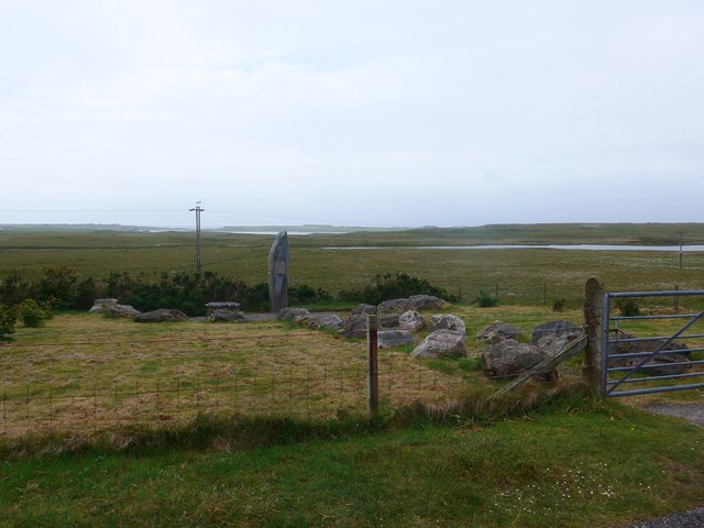
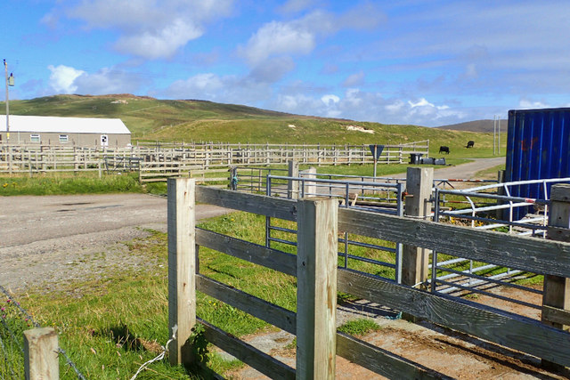
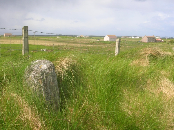
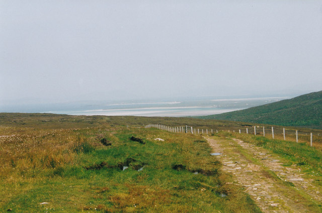
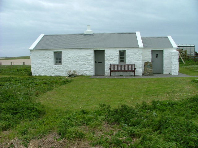
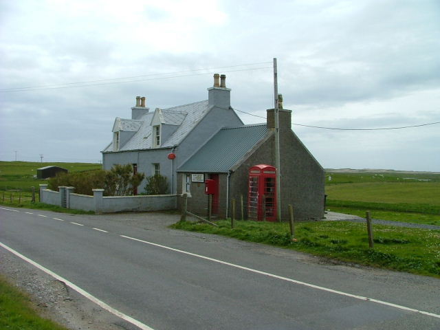
Àird an Fhraoich Images

Images are sourced within 2km of 57.608425/-7.4819565 or Grid Reference NF7270. Thanks to Geograph Open Source API. All images are credited.

Memorial to the Paiblesgarry Land Raiders A monolith by the A865 in North Uist <a href="https://www.geograph.org.uk/photo/5024863">NF7369 : Paiblesgarry Land Raid Memorial plaque</a>.
Memorial to the Paiblesgarry Land Raiders
A monolith by the A865 in North Uist NF7369 : Paiblesgarry Land Raid Memorial plaque.
Paiblesgarry Land Raid Memorial plaque MAR CHUIMHNEACHAN [In Remembrance of]
IN MEMORY OF THE MEN WHO TOOK PART IN THE
PAIBLESGARRY LAND RAID ON BALRANALD ESTATE IN
1921
The memorial is a monolith by the A865 in North Uist <a href="https://www.geograph.org.uk/photo/5024854">NF7369 : Memorial to the Paiblesgarry Land Raiders</a>.
Paiblesgarry Land Raid Memorial plaque
MAR CHUIMHNEACHAN [In Remembrance of] IN MEMORY OF THE MEN WHO TOOK PART IN THE PAIBLESGARRY LAND RAID ON BALRANALD ESTATE IN 1921 The memorial is a monolith by the A865 in North Uist NF7369 : Memorial to the Paiblesgarry Land Raiders.
Houses at Druim Dubh On the A865, looking north from the Paiblesgarry Memorial.
Houses at Druim Dubh
On the A865, looking north from the Paiblesgarry Memorial.
Memorial to the Paiblesgarry Land Raiders In memory of the men who took part in the Paiblesgarry Land Raid on Balranald Estate in 1921. For a view of the plaque, see <a href="https://www.geograph.org.uk/photo/443940">NF7369 : Closeup of Paiblesgarry Memorial.</a>
Memorial to the Paiblesgarry Land Raiders
In memory of the men who took part in the Paiblesgarry Land Raid on Balranald Estate in 1921. For a view of the plaque, see NF7369 : Closeup of Paiblesgarry Memorial.
Paiblesgarry Land Raid memorial
View from "St Kilda Viewpoint" on Cleitreabhal a Deas And in this image, you can just make out Boreray in line with the road and Hirta off a little to the left;  both are around 70Km away so visibility this day was good.
View from "St Kilda Viewpoint" on Cleitreabhal a Deas
And in this image, you can just make out Boreray in line with the road and Hirta off a little to the left; both are around 70Km away so visibility this day was good.
Grass field at Knock Eaval Relatively newly seeded.
Grass field at Knock Eaval
Relatively newly seeded.
House at Knock Eaval The radio station beyond is on Cleiteabhal a Deas.
House at Knock Eaval
The radio station beyond is on Cleiteabhal a Deas.
Balranald cemetery Seen from the RSPB Visitor Centre.
Balranald cemetery
Seen from the RSPB Visitor Centre.
Looking southwest from Cleitreabhal a Deas Over the low, lochan-strewn landscape of North Uist.
Looking southwest from Cleitreabhal a Deas
Over the low, lochan-strewn landscape of North Uist.
Farmyard at Hosta
Farmyard at Hosta
Old Milestone by the A865, Balranald, North Uist Granite slab milestone by the A865, in parish of North Uist (North Uist District), Balranald, 500m Southeast of church, nearly opposite Loch nam Magarlan.

Inscription not known.

Surveyed

Milestone Society National ID: WI_NUCW06
Old Milestone by the A865, Balranald, North Uist
Granite slab milestone by the A865, in parish of North Uist (North Uist District), Balranald, 500m Southeast of church, nearly opposite Loch nam Magarlan. Inscription not known. Surveyed Milestone Society National ID: WI_NUCW06
Close to the tracking station There are a number of tracks around the RAF tracking station.
Close to the tracking station
There are a number of tracks around the RAF tracking station.
Looking SW from the tracking station Being near the hill top the view across the low lying island opens into a great vista.
Looking SW from the tracking station
Being near the hill top the view across the low lying island opens into a great vista.
View from the chambered cairn The view looks across a minor road just visible in the grassy area to the right of the cairn.
View from the chambered cairn
The view looks across a minor road just visible in the grassy area to the right of the cairn.
A sea of yellow Machair land, seemingly covered in buttercups, but there are other species here, principally common flowers such as daisy and clover, but also more interesting orchids.
A sea of yellow
Machair land, seemingly covered in buttercups, but there are other species here, principally common flowers such as daisy and clover, but also more interesting orchids.
Loch Grogary Narrow and shallow loch just inland from the western coast of North Uist.
Loch Grogary
Narrow and shallow loch just inland from the western coast of North Uist.
Loch nam Feithean The minor road running west to east here passes close to three small freshwater lochs, this one being Loch nam Feithean which appears to be slowly silting up.
Loch nam Feithean
The minor road running west to east here passes close to three small freshwater lochs, this one being Loch nam Feithean which appears to be slowly silting up.
Show me another place!

Àird an Fhraoich is located at Grid Ref: NF7270 (Lat: 57.608425, Lng: -7.4819565)

Unitary Authority: Na h-Eileanan an Iar

Police Authority: Highlands and Islands

What 3 Words

///loans.rewarded.squaring. Near Balivanich, Na h-Eileanan Siar

Related Wikis

Balranald Nature Reserve

The Balranald Nature Reserve is an RSPB reserve on the north west coast of North Uist, Outer Hebrides, Scotland. The reserve is open all year round and...

Tigharry

Tigharry (Scottish Gaelic: Taigh a' Ghearraidh) is a small village on the west of North Uist. It is mostly a farming community. There are a few rocky beaches...

RRH Benbecula

Remote Radar Head Benbecula or RRH Benbecula, is an air defence radar station operated by the Royal Air Force. It is located at Cleitreabhal a'Deas, 17...

Aird an Rùnair

Aird an Rùnair is the most westerly point of the island of North Uist in the Western Isles of Scotland. The headland is approximately 4 kilometres (2.5...

Nearby Amenities

Located within 500m of 57.608425,-7.4819565
Passing Place
Lat/Long: 57.6049612/-7.4861438
Passing Place
Lat/Long: 57.6055013/-7.4875726
Barrier: cattle_grid
Lat/Long: 57.6072816/-7.483948
Barrier: cattle_grid
Lat/Long: 57.6073899/-7.4844243
Power: pole
Lat/Long: 57.6067504/-7.4846732
Power: pole
Lat/Long: 57.6063825/-7.4851399
Power: pole
Lat/Long: 57.6059831/-7.4856388
Power: pole
Lat/Long: 57.605631/-7.4860814
Power: pole
Lat/Long: 57.6052775/-7.4865132
Power: pole
Lat/Long: 57.6052286/-7.4870229
Power: pole
Lat/Long: 57.6054428/-7.4868887
Power: pole
Lat/Long: 57.60497/-7.4857944
Power: pole
Lat/Long: 57.6070794/-7.4842709
Power: pole
Lat/Long: 57.6082663/-7.4898875
Power: pole
Lat/Long: 57.6045433/-7.4856732
Power: pole
Lat/Long: 57.604378/-7.48489
The data included in this document is from www.openstreetmap.org. The data is made available under ODbL.

Have you been to Àird an Fhraoich?

Leave your review of Àird an Fhraoich below (or comments, questions and feedback).