Am Meall
Hill, Mountain in Inverness-shire
Scotland
Am Meall
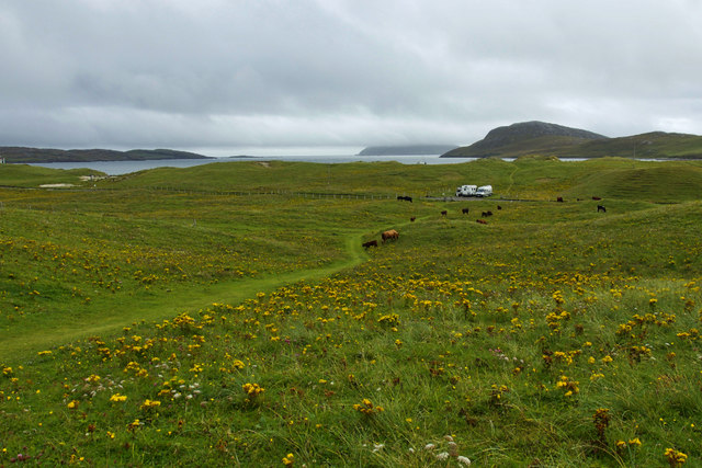
Am Meall is a prominent hill located in Inverness-shire, Scotland. With an elevation of 831 meters (2,726 feet), it is classified as a Corbett, a term used to describe mountains in Scotland between 2,500 and 3,000 feet in height. It is situated in the picturesque Glen Moriston, approximately 24 kilometers (15 miles) southwest of the city of Inverness.
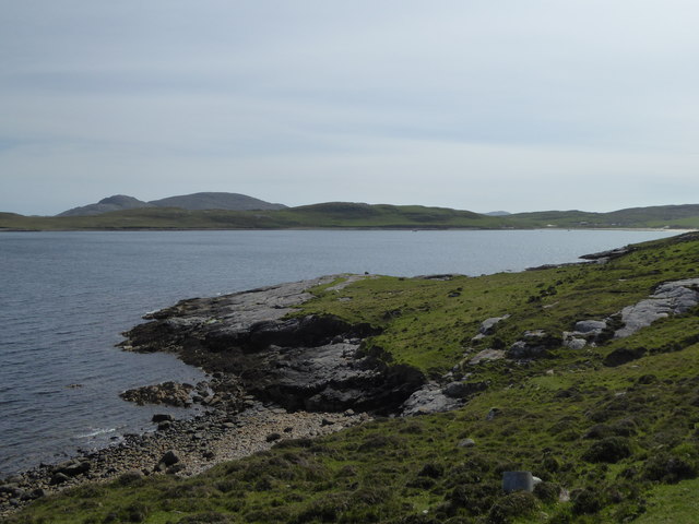
The hill offers breathtaking panoramic views of the surrounding landscape, including the nearby Loch Cluanie and the mountains of Kintail to the west. Its distinctive shape, with a rounded summit, makes it easily recognizable from a distance. The ascent to the summit is relatively straightforward, with a well-defined path leading from the Glen Moriston road.
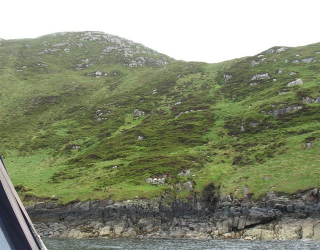
Am Meall is a popular destination for hikers and climbers, attracting outdoor enthusiasts from both near and far. The hill provides a challenging but achievable climb for those looking to explore the stunning Scottish Highlands. The path offers a mix of rocky terrain, heather-covered slopes, and occasional boggy patches, adding to the adventure of the journey.
Wildlife enthusiasts will also appreciate the diverse flora and fauna that can be found in the area. The hill is home to various species of birds, including golden eagles, peregrine falcons, and ptarmigans. Some lucky visitors may even catch a glimpse of red deer and mountain hares, which inhabit the surrounding hillsides.
Overall, Am Meall in Inverness-shire offers a rewarding outdoor experience, combining breathtaking scenery, a manageable climb, and the opportunity to encounter Scotland's unique wildlife. It is a must-visit for nature lovers and adventure seekers looking to immerse themselves in the beauty of the Scottish Highlands.
If you have any feedback on the listing, please let us know in the comments section below.
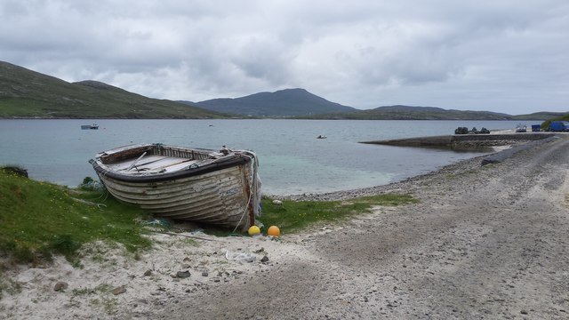
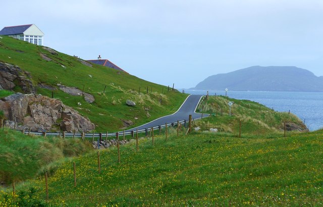
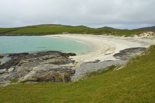
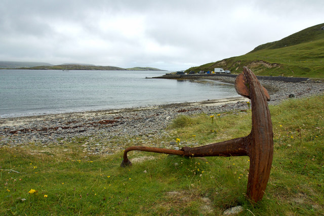
Am Meall Images
Images are sourced within 2km of 56.919875/-7.5083943 or Grid Reference NL6494. Thanks to Geograph Open Source API. All images are credited.


Am Meall is located at Grid Ref: NL6494 (Lat: 56.919875, Lng: -7.5083943)
Unitary Authority: Na h-Eileanan an Iar
Police Authority: Highlands and Islands
What 3 Words
///tingled.guesswork.grounding. Near CastleBay, Na h-Eileanan Siar
Nearby Locations
Related Wikis
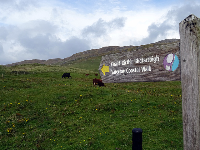
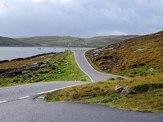
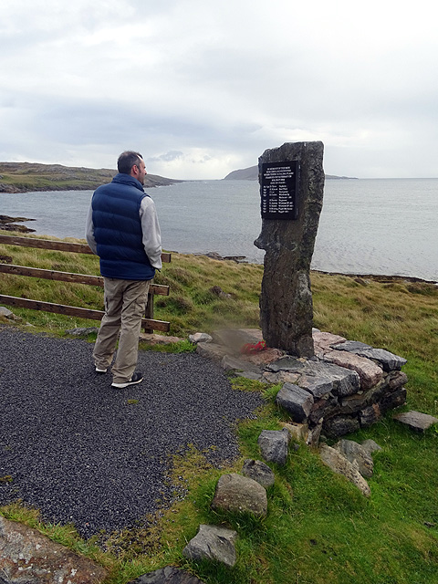
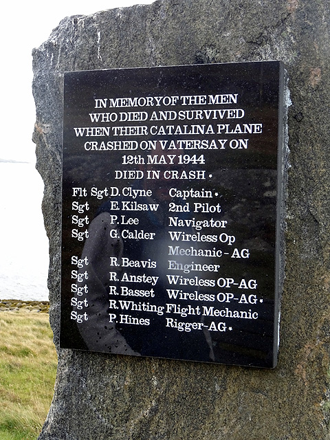
Vatersay
The island of Vatersay (; Scottish Gaelic: Bhatarsaigh) is the southernmost and westernmost inhabited island in the Outer Hebrides of Scotland, and the...

Sandray
Sandray (Scottish Gaelic: Sanndraigh) is one of the Barra Isles in the Outer Hebrides of Scotland. It never had a large population, and has been uninhabited...

Vatersay Causeway
The Vatersay Causeway (Scottish Gaelic: Rathad Bhàgh Bhatarsaigh) is a 250-metre-long causeway that links the Scottish Hebridean Islands of Vatersay and...

Caolas
Caolas (Scottish Gaelic: An Caolas [ən̪ˠ ˈkʰɯːl̪ˠəs̪]), is a small settlement on the island of Vatersay, in the Outer Hebrides, Scotland. Caolas is within...

St Brendan's Hospital, Castlebay
St Brendan's Hospital is a hospital in Castlebay on the island of Barra, Eileanan Siar. It is managed by NHS Western Isles. == History == The current facility...

Kisimul Castle
Kisimul Castle (Scottish Gaelic: Caisteal Chiosmuil) and also known as Kiessimul Castle, is a medieval castle located on a small island off Castlebay,...
Muldoanich
Muldoanich is an uninhabited island in the Barra Isles archipelago at the southern extremity of the larger island chain of the Outer Hebrides in Scotland...
Barrathon
The Barrathon is an annual half marathon which takes place on the Isle of Barra, which is the southernmost inhabited isle of the Outer Hebrides in Scotland...
Nearby Amenities
Located within 500m of 56.919875,-7.5083943Have you been to Am Meall?
Leave your review of Am Meall below (or comments, questions and feedback).