Cnoc Sgar
Hill, Mountain in Inverness-shire
Scotland
Cnoc Sgar

Cnoc Sgar is a prominent hill located in Inverness-shire, Scotland. It stands at an elevation of 370 meters (1,214 feet) above sea level and offers stunning panoramic views of the surrounding area, including the nearby Loch Ness. The hill is known for its distinctive shape, with a steep, rocky summit that provides a challenging but rewarding climb for hikers and outdoor enthusiasts.
Cnoc Sgar is part of the expansive Scottish Highlands, which are renowned for their rugged beauty and dramatic landscapes. The hill is situated near the village of Drumnadrochit, making it easily accessible for visitors looking to explore the area.
The terrain around Cnoc Sgar is characterized by heather-covered moorland, rocky outcrops, and scattered patches of woodland. Wildlife such as red deer, golden eagles, and ptarmigan can often be spotted in the area, adding to the natural beauty and appeal of the hill.
Overall, Cnoc Sgar is a popular destination for hikers and nature lovers seeking a challenging climb and breathtaking views of the Scottish countryside. Its unique topography and stunning vistas make it a must-visit location for anyone exploring Inverness-shire.
If you have any feedback on the listing, please let us know in the comments section below.
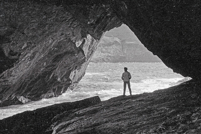
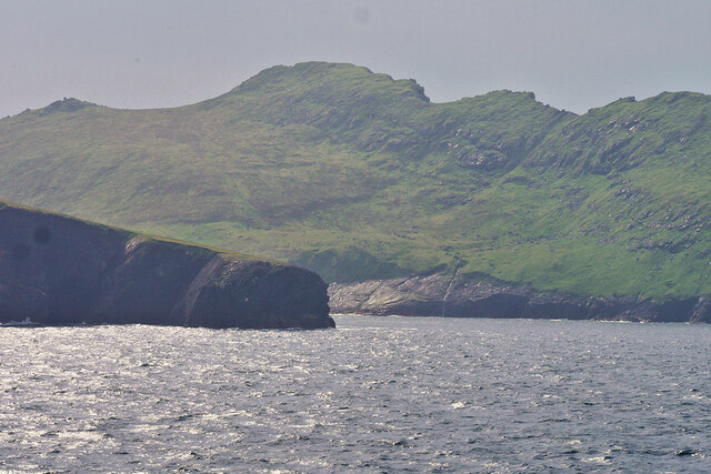
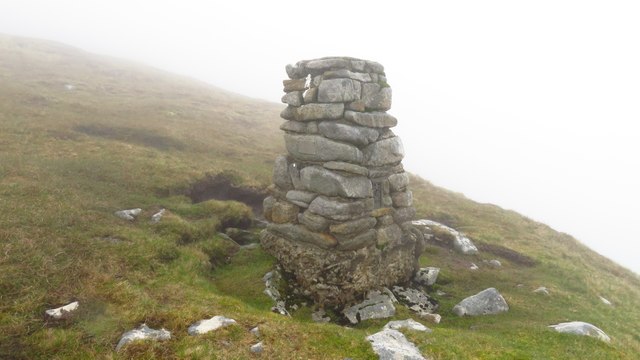
Cnoc Sgar Images
Images are sourced within 2km of 57.809352/-8.5887209 or Grid Reference NF0899. Thanks to Geograph Open Source API. All images are credited.


Cnoc Sgar is located at Grid Ref: NF0899 (Lat: 57.809352, Lng: -8.5887209)
Unitary Authority: Na h-Eileanan an Iar
Police Authority: Highlands and Islands
What 3 Words
///joins.splints.bungalows. Near Balivanich, Na h-Eileanan Siar
Nearby Locations
Related Wikis

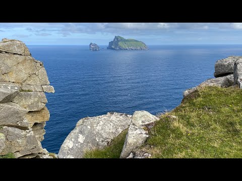
Hirta
Hirta (Scottish Gaelic: Hiort) is the largest island in the St Kilda archipelago, on the western edge of Scotland. The names Hiort (in Scottish Gaelic...

St Kilda, Scotland
St Kilda (Scottish Gaelic: Hiort) is an isolated archipelago situated 64 kilometres (40 mi) west-northwest of North Uist in the North Atlantic Ocean. It...

Dùn
Dùn is an island in St Kilda, Scotland. It is nearly 1 mile (1.6 kilometres) long. Its name simply means "fort" in Scottish Gaelic (for more information...

Stac Biorach
Stac Biorach (Scottish Gaelic: "the pointed stack") is a sea stack, 73 metres tall, situated between Hirta and Soay (in the "Sound of Soay") in the St...
Related Videos
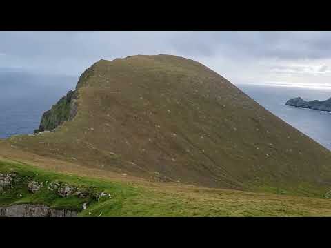

The St Kilda Film - A Journey To
This film follows a journey to St Kilda in 2021 with Hebrides Cruises.

St Kilda, Scotland's Island on the Edge (scenic film + guide)
ST KILDA TRAVEL GUIDE https://www.goingthewholehogg.com/visit-st-kilda-scotland/ ➤ BECOME OUR PATRON ...
St Kilda World Heritage Site
A bucket list trip to St Kilda. I hadn't intended filming much at all. But I took what little footage I had to make a short.
Nearby Amenities
Located within 500m of 57.809352,-8.5887209Have you been to Cnoc Sgar?
Leave your review of Cnoc Sgar below (or comments, questions and feedback).