An Campar
Hill, Mountain in Inverness-shire
Scotland
An Campar
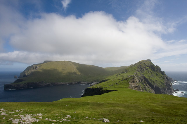
An Campar is a prominent hill located in Inverness-shire, a county situated in the Scottish Highlands. With an elevation of approximately 814 meters (2,671 feet), it stands as one of the notable peaks in the region, attracting both hikers and nature enthusiasts alike.
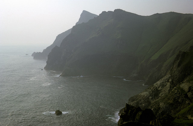
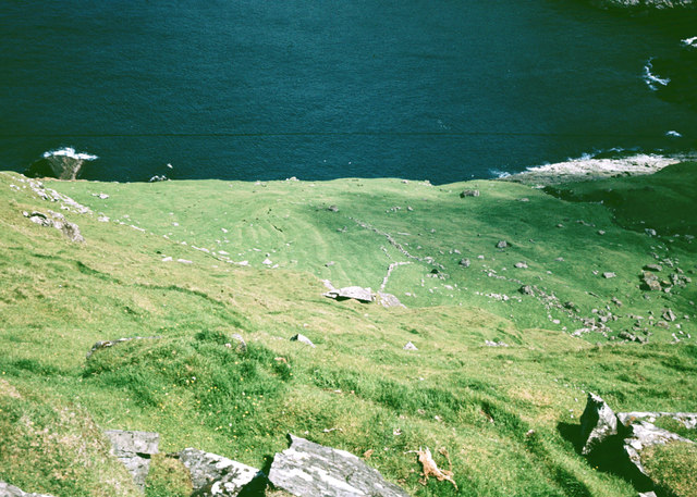
The hill is surrounded by stunning natural beauty, with its slopes covered in lush greenery, heather, and various other plant species. Its rugged terrain presents a challenge to climbers, making it a popular destination for those seeking an adrenaline rush and a rewarding hiking experience. The panoramic views from the summit are truly breathtaking, offering a sweeping vista of the surrounding landscape, including neighboring mountains, glens, and lochs.
An Campar is part of a larger range known as the Monadhliath Mountains, which stretch across the eastern part of Inverness-shire. These mountains are renowned for their diverse wildlife, including red deer, mountain hares, and golden eagles, contributing to the area's ecological significance.
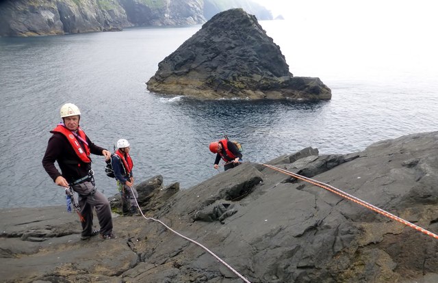
Access to An Campar can be gained from various starting points, with well-defined paths and trails leading to the summit. It is recommended to check weather conditions and be properly equipped before embarking on the ascent, as the Scottish Highlands are known for their changeable and potentially harsh weather.
Overall, An Campar offers a challenging and rewarding hiking experience, allowing visitors to immerse themselves in the stunning natural beauty of the Scottish Highlands while enjoying the exhilaration of conquering its peaks.
If you have any feedback on the listing, please let us know in the comments section below.
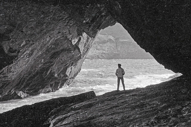
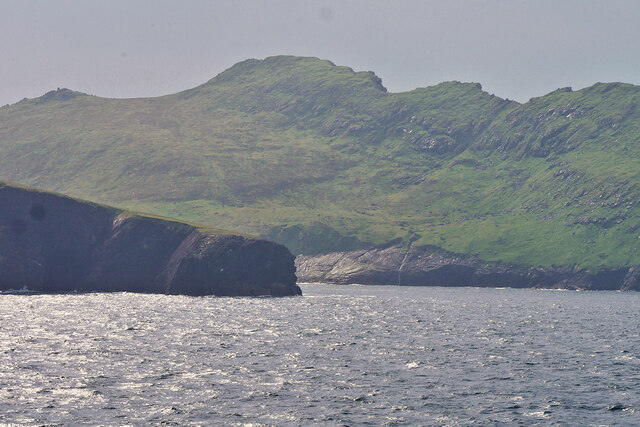
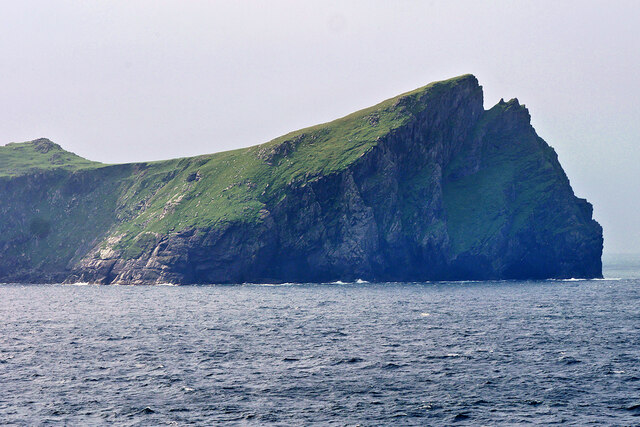
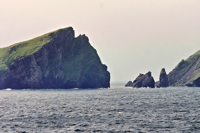
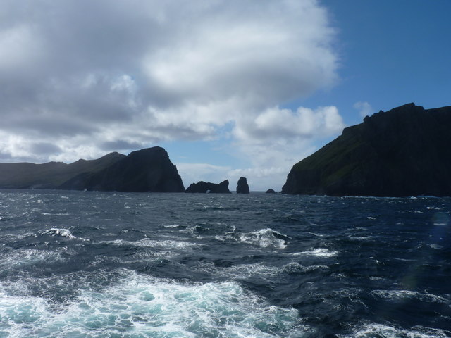
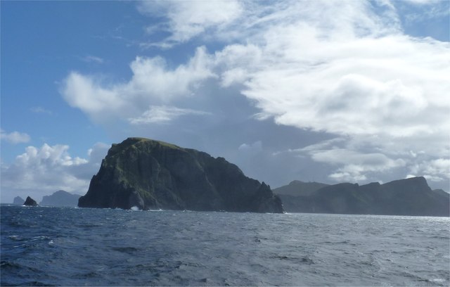
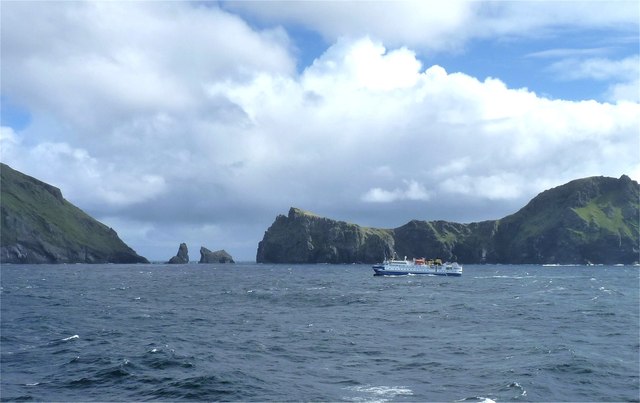
An Campar Images
Images are sourced within 2km of 57.827029/-8.6155486 or Grid Reference NA0701. Thanks to Geograph Open Source API. All images are credited.


An Campar is located at Grid Ref: NA0701 (Lat: 57.827029, Lng: -8.6155486)
Unitary Authority: Na h-Eileanan an Iar
Police Authority: Highlands and Islands
What 3 Words
///during.returns.equity. Near Balivanich, Na h-Eileanan Siar
Nearby Locations
Related Wikis

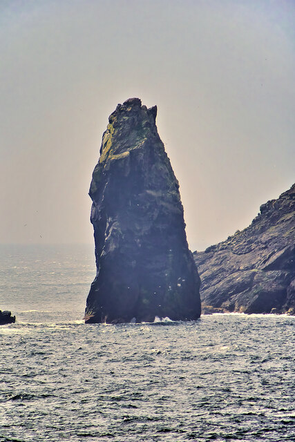
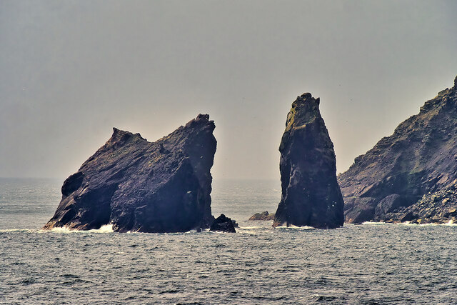
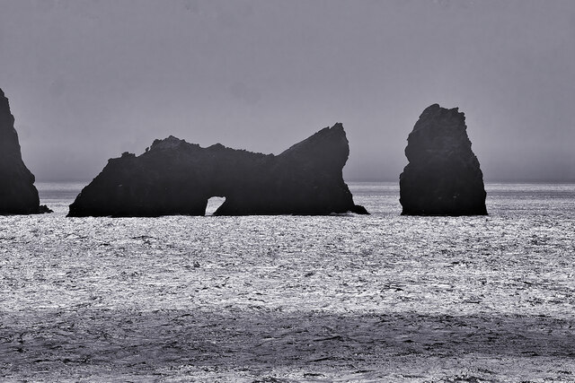
Stac Biorach
Stac Biorach (Scottish Gaelic: "the pointed stack") is a sea stack, 73 metres tall, situated between Hirta and Soay (in the "Sound of Soay") in the St...

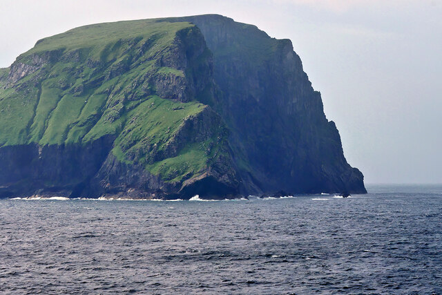
Soay, St Kilda
Soay (Scottish Gaelic: Soaigh) is an uninhabited islet in the St Kilda archipelago, Scotland. The name is from Old Norse Seyðoy, meaning 'island of sheep...

St Kilda, Scotland
St Kilda (Scottish Gaelic: Hiort) is an isolated archipelago situated 64 kilometres (40 mi) west-northwest of North Uist in the North Atlantic Ocean. It...

Hirta
Hirta (Scottish Gaelic: Hiort) is the largest island in the St Kilda archipelago, on the western edge of Scotland. The names Hiort (in Scottish Gaelic...
Nearby Amenities
Located within 500m of 57.827029,-8.6155486Have you been to An Campar?
Leave your review of An Campar below (or comments, questions and feedback).