Catherine White's Allotments

Downs, Moorland in Yorkshire Harrogate

England

Catherine White's Allotments

Greenhow Hill Top Greenhow Hill Top, the highest point around here at about 1390ft. The fence in the foreground surrounds the old East Engine Shaft which was sunk onto Banks Vein of the Sunside Lead Mines.
Greenhow Hill Top Credit: Malcolm Street

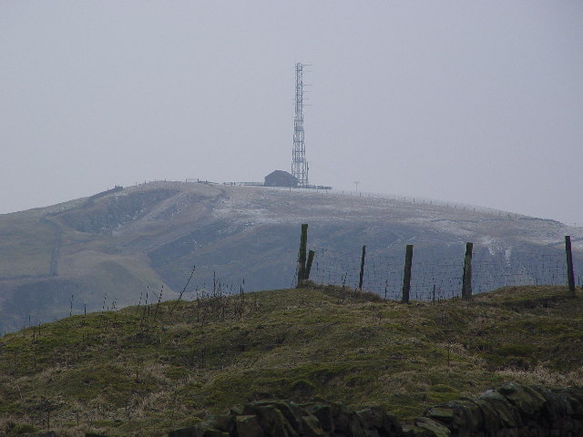
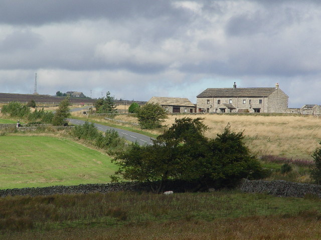
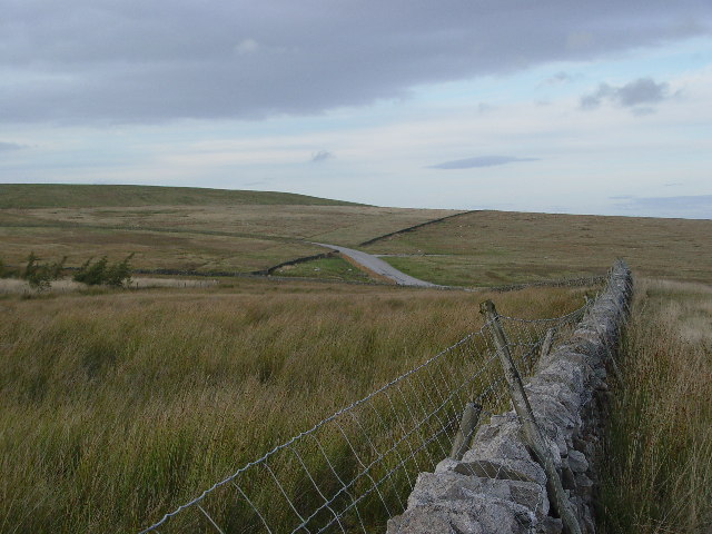
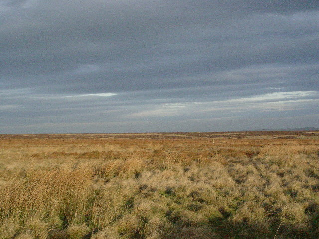
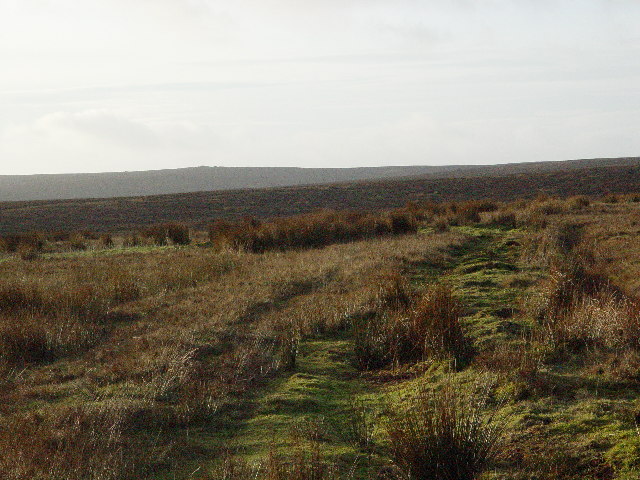
Catherine White's Allotments, located in the picturesque region of Yorkshire, encompass a vast expanse of land amidst the stunning beauty of the Downs and Moorland. These allotments offer a unique opportunity for individuals to cultivate their own plots, nurturing a variety of plants and vegetables.

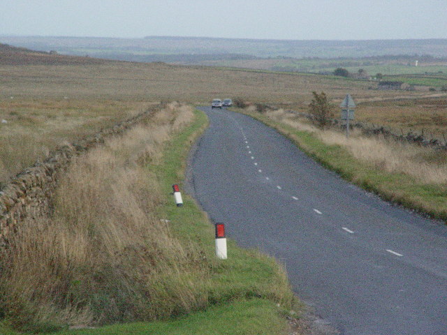
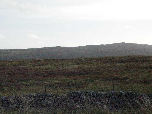
Spread across acres of fertile soil, Catherine White's Allotments provide a serene and tranquil environment for gardening enthusiasts to indulge in their passion for horticulture. The location, nestled amidst the scenic Yorkshire Downs and Moorland, ensures a breath-taking backdrop for those tending to their plots.

The allotment plots are meticulously maintained, offering a range of sizes to accommodate the needs of different gardeners. The fertile soil, enriched with essential nutrients, provides an ideal foundation for cultivating a diverse array of plants and vegetables.

Catherine White's Allotments also provide a supportive community of fellow gardeners who share their knowledge and experiences. Regular gatherings and events are organized, fostering a sense of camaraderie among the members and creating a vibrant social atmosphere.

Moreover, the location of the allotments allows for easy access to nearby markets and shops, where gardeners can source additional supplies and seek inspiration for their gardening endeavors.

Catherine White's Allotments, with their idyllic setting and nurturing environment, serve as a haven for nature enthusiasts, providing an opportunity to connect with the land and cultivate a bountiful harvest.

If you have any feedback on the listing, please let us know in the comments section below.

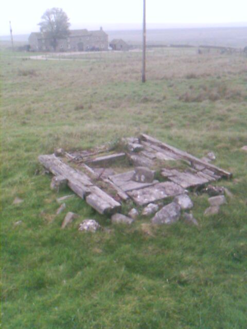
Catherine White's Allotments Images

Images are sourced within 2km of 54.057581/-1.8208959 or Grid Reference SE1162. Thanks to Geograph Open Source API. All images are credited.

Greenhow Hill Top Greenhow Hill Top, the highest point around here at about 1390ft. The fence in the foreground surrounds the old East Engine Shaft which was sunk onto Banks Vein of the Sunside Lead Mines.
Greenhow Hill Top
Greenhow Hill Top, the highest point around here at about 1390ft. The fence in the foreground surrounds the old East Engine Shaft which was sunk onto Banks Vein of the Sunside Lead Mines.
Redlish House At SE132618, at the start of the long straight climb to Greenhow.
Redlish House
At SE132618, at the start of the long straight climb to Greenhow.
Redlish Road Formerly in part known as Rowlds Lime Road (abt 1800) leading from the limekilns at Greenhow down to the more acid soils in the lowlands,
Redlish Road
Formerly in part known as Rowlds Lime Road (abt 1800) leading from the limekilns at Greenhow down to the more acid soils in the lowlands,
Katty White's Allotments Presumably named after a relation of Sir Thomas Woollaston White who owned the land around here in the 1800's. Further research has revealed that Catherine Simpson (born abt 1756) married Richard White at Fewston 19th Sept 1777 - they had at least 3 children 1787-1785 who were recorded in the Baptism Register as being born at Greenhow Hill. A relively featureless patch of moorland shown here with the boundary wall in the foreground, and the heights of Pockstones Moor in the background to break the monotony.
Katty White's Allotments
Presumably named after a relation of Sir Thomas Woollaston White who owned the land around here in the 1800's. Further research has revealed that Catherine Simpson (born abt 1756) married Richard White at Fewston 19th Sept 1777 - they had at least 3 children 1787-1785 who were recorded in the Baptism Register as being born at Greenhow Hill. A relively featureless patch of moorland shown here with the boundary wall in the foreground, and the heights of Pockstones Moor in the background to break the monotony.
Coldstones from the south The maps say White Mere, don't know why. The hill on the upper left is the bund which shields the industry of Coldstones Quarry from the casual passerby, and villager. The road seen here leads to the quarry and was built 20 years ago to allow the passage of quarry wagons without them having to pass through Greenhow Village.
Coldstones from the south
The maps say White Mere, don't know why. The hill on the upper left is the bund which shields the industry of Coldstones Quarry from the casual passerby, and villager. The road seen here leads to the quarry and was built 20 years ago to allow the passage of quarry wagons without them having to pass through Greenhow Village.
Peat Lane A very narrow lane leading from Greenhow down through Middle Tongue to Bewerley.
Peat Lane
A very narrow lane leading from Greenhow down through Middle Tongue to Bewerley.
Redlish A flat section of moorland, broken only by a stream, Greenhow Sike, which cannot be seen until you are almost on it.
Redlish
A flat section of moorland, broken only by a stream, Greenhow Sike, which cannot be seen until you are almost on it.
Moorland Lots of it around here.
Moorland
Lots of it around here.
Mouseman lychgate at Greenhow Covered entry in carved oak to a small roadside cemetery about 1/2 mile outside of the village of Greenhow.  There are two carved "mice" in the curved trusses and following Biblical quotes on the outer and inner lintels:-
"I will lift up mine eyes unto the hills, from whence cometh my help."

"The sun shall not burn you by day, neither the moon by night"
Mouseman lychgate at Greenhow
Covered entry in carved oak to a small roadside cemetery about 1/2 mile outside of the village of Greenhow. There are two carved "mice" in the curved trusses and following Biblical quotes on the outer and inner lintels:- "I will lift up mine eyes unto the hills, from whence cometh my help." "The sun shall not burn you by day, neither the moon by night"
Mouseman mouse Detail of carving on Greenhow cemetery lychgate.
Mouseman mouse
Detail of carving on Greenhow cemetery lychgate.
Rochard Crags
Rochard Crags
Chimney Shaft, Greenhow Cover of a 300 ft mine shaft. In M C Gill's book there are photographs of a steam boiler underground below this point taken 30 years ago.
Chimney Shaft, Greenhow
Cover of a 300 ft mine shaft. In M C Gill's book there are photographs of a steam boiler underground below this point taken 30 years ago.
Hen Stones Bank An area littered with similar boulders,
on the slopes of Pock Stones Moor.
Hen Stones Bank
An area littered with similar boulders, on the slopes of Pock Stones Moor.
Hen Stones Menwith Hill can just be made out in the distance between the two rocks.
Hen Stones
Menwith Hill can just be made out in the distance between the two rocks.
Alma Hut Shooting lodge.
Alma Hut
Shooting lodge.
Looking west from Coldstones Quarry viewing platform
House in Greenhow by the B6265 road
Ruined sheepfold on Catherine or Kitty White's Allotments A badly ruined sheepfold in the middle of the moor.  Some evidence of old peat cuttings nearby to the south east.
Ruined sheepfold on Catherine or Kitty White's Allotments
A badly ruined sheepfold in the middle of the moor. Some evidence of old peat cuttings nearby to the south east.
Show me another place!

Catherine White's Allotments is located at Grid Ref: SE1162 (Lat: 54.057581, Lng: -1.8208959)

Division: West Riding

Administrative County: North Yorkshire

District: Harrogate

Police Authority: North Yorkshire

Also known as: Katty White's Allotments

What 3 Words

///lectured.relaxing.encoding. Near Pateley Bridge, North Yorkshire

Related Wikis

Greenhow

Greenhow is a village in North Yorkshire, England, often referred to as Greenhow Hill. The term how derives from the Old Norse word haugr meaning a hill...

Stump Cross Caverns

Stump Cross Caverns is a limestone cave system between Wharfedale and Nidderdale in North Yorkshire, England. == Geography == The caverns at Stump Cross...

Bewerley

Bewerley is a village and civil parish in the Harrogate district of North Yorkshire, England, about twelve miles west of Ripon. The parish includes the...

Simon's Seat

Simon's Seat is a peak in the Yorkshire Dales in northern England. It is a prominent outcrop of millstone grit on the eastern side of Wharfedale. Although...

Nidderdale High School

Nidderdale High School is a coeducational secondary school located in Pateley Bridge, North Yorkshire, England. The school is named after Nidderdale, one...

Pateley Bridge

Pateley Bridge (known locally as Pateley) is a market town in Nidderdale in the county and district of North Yorkshire, England. Historically part of the...

Trollers Gill

Trollers Gill is a limestone gill or gorge in North Yorkshire, England, close to the village of Skyreholme and 4.7 miles (7.5 km) south-east of Grassington...

Parcevall Hall

Parcevall Hall -- also known as Parceval Hall -- and its gardens are located at Skyreholme near Appletreewick village, Wharfedale, North Yorkshire, England...

Have you been to Catherine White's Allotments?

Leave your review of Catherine White's Allotments below (or comments, questions and feedback).