Hydal Park
Downs, Moorland in Westmorland South Lakeland
England
Hydal Park

Hydal Park is a picturesque area located in Westmorland, a historic county in the northwest region of England. Nestled amidst the stunning landscape of Downs and Moorland, this park offers visitors a delightful blend of natural beauty and recreational opportunities.
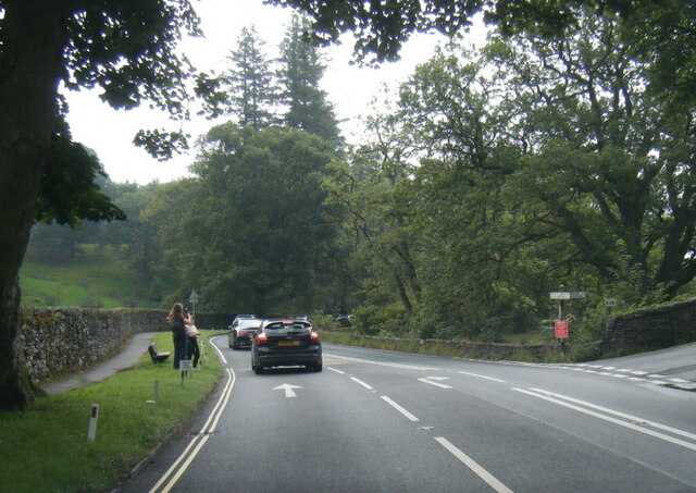
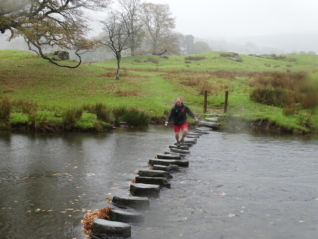
Covering a vast expanse, Hydal Park is renowned for its rolling hills, lush greenery, and diverse flora and fauna. The park's terrain is characterized by undulating slopes, providing panoramic views of the surrounding countryside. It is an ideal destination for nature enthusiasts, hikers, and photographers seeking to immerse themselves in the tranquil ambiance of the countryside.
The park's rich biodiversity is a result of its varied habitats, which include woodlands, meadows, and wetlands. Visitors can spot a wide range of animal species, such as deer, rabbits, birds, and even the occasional fox or badger. The park also boasts several well-maintained walking trails, allowing visitors to explore its natural wonders at their own pace.
In addition to its natural attractions, Hydal Park offers various recreational facilities for visitors of all ages. The park features well-equipped picnic areas, playgrounds, and sports fields, making it a popular spot for families and outdoor enthusiasts. There are also designated areas for fishing and boating, providing opportunities for water-based activities.
Overall, Hydal Park in Westmorland is a haven for those seeking solace in nature, offering a perfect blend of scenic beauty, wildlife, and recreational amenities. Whether it's a leisurely stroll, a picnic with loved ones, or an adventurous hike, this park has something to offer for everyone.
If you have any feedback on the listing, please let us know in the comments section below.
Hydal Park Images
Images are sourced within 2km of 54.45189/-2.9712878 or Grid Reference NY3706. Thanks to Geograph Open Source API. All images are credited.


Hydal Park is located at Grid Ref: NY3706 (Lat: 54.45189, Lng: -2.9712878)
Administrative County: Cumbria
District: South Lakeland
Police Authority: Cumbria
Also known as: High Park
What 3 Words
///maddening.lays.burglars. Near Ambleside, Cumbria
Nearby Locations
Related Wikis
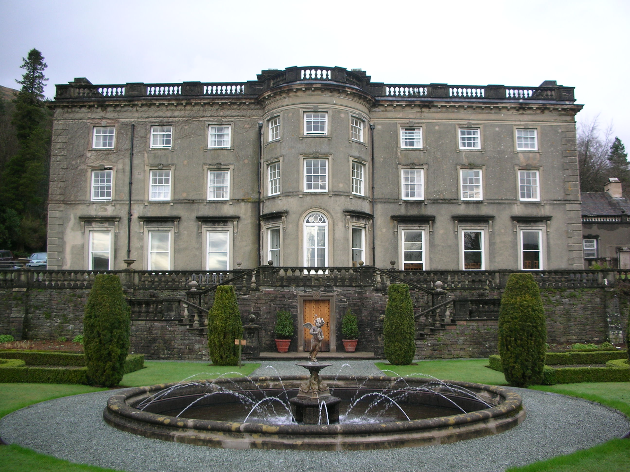
Rydal Hall
Rydal Hall is a large detached house on the outskirts of the village of Rydal, Cumbria, in the English Lake District. It has an early nineteenth-century...
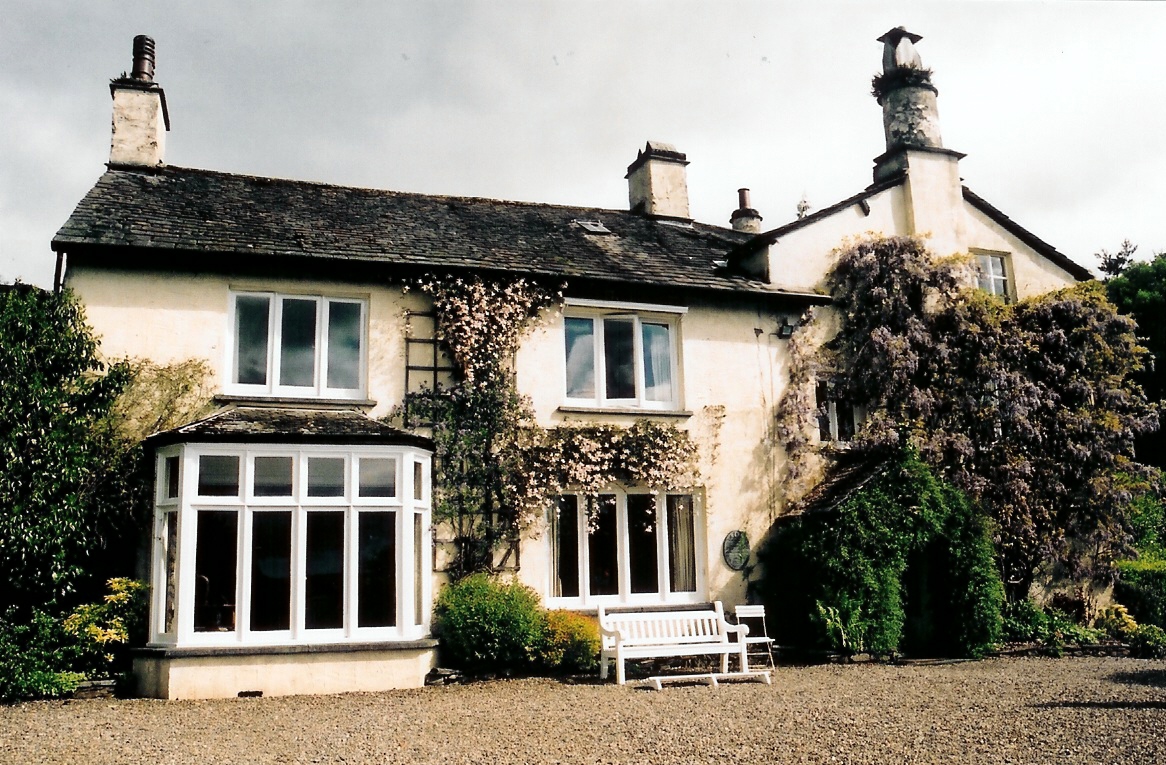
Rydal Mount
Rydal Mount is a house in the small village of Rydal, near Ambleside in the English Lake District. It is best known as the home of the poet William Wordsworth...
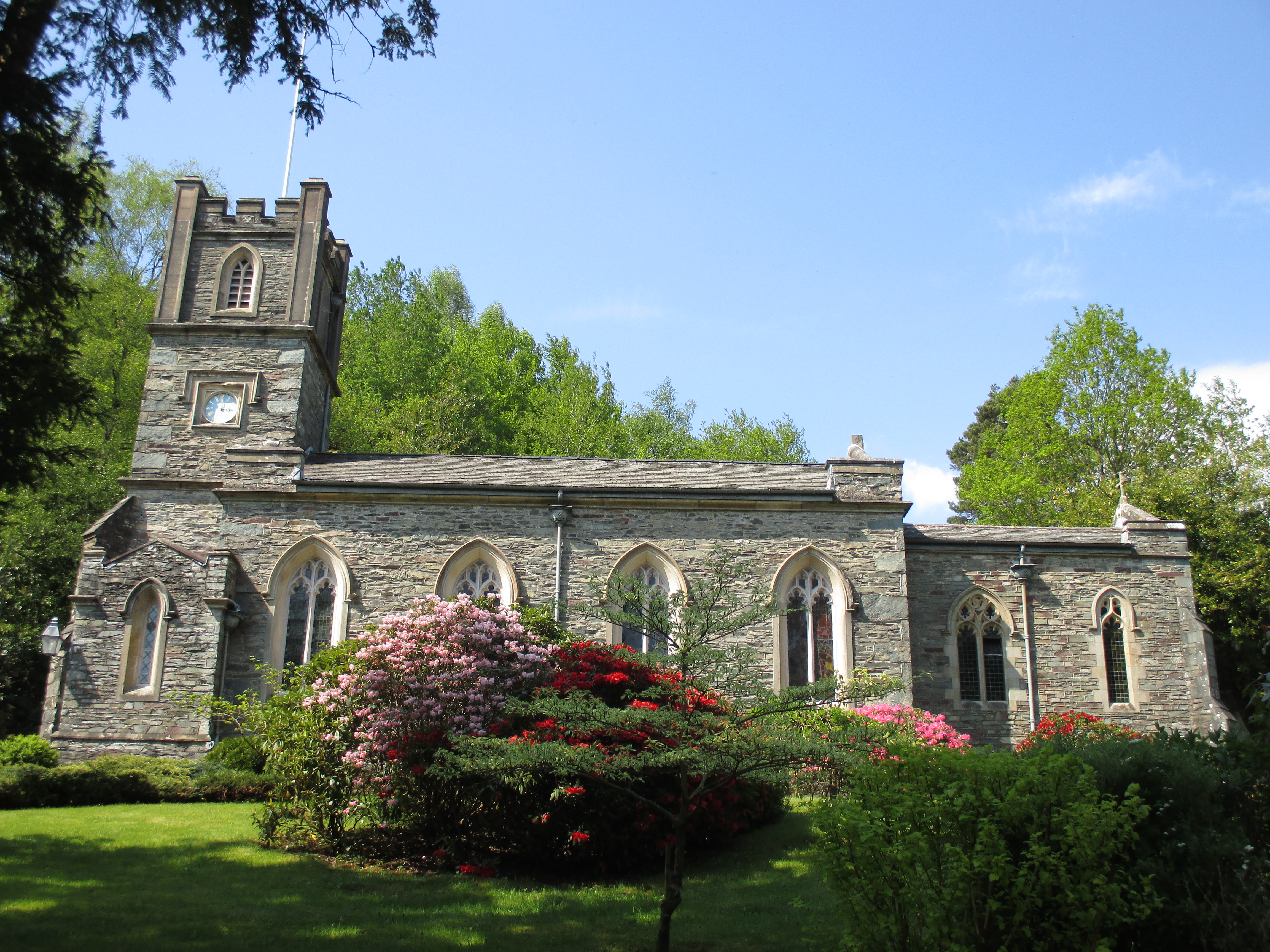
St Mary's Church, Rydal
St Mary's Church is in the village of Rydal in the Lake District, Cumbria, England. It is an active Anglican parish church in the deanery of Windermere...
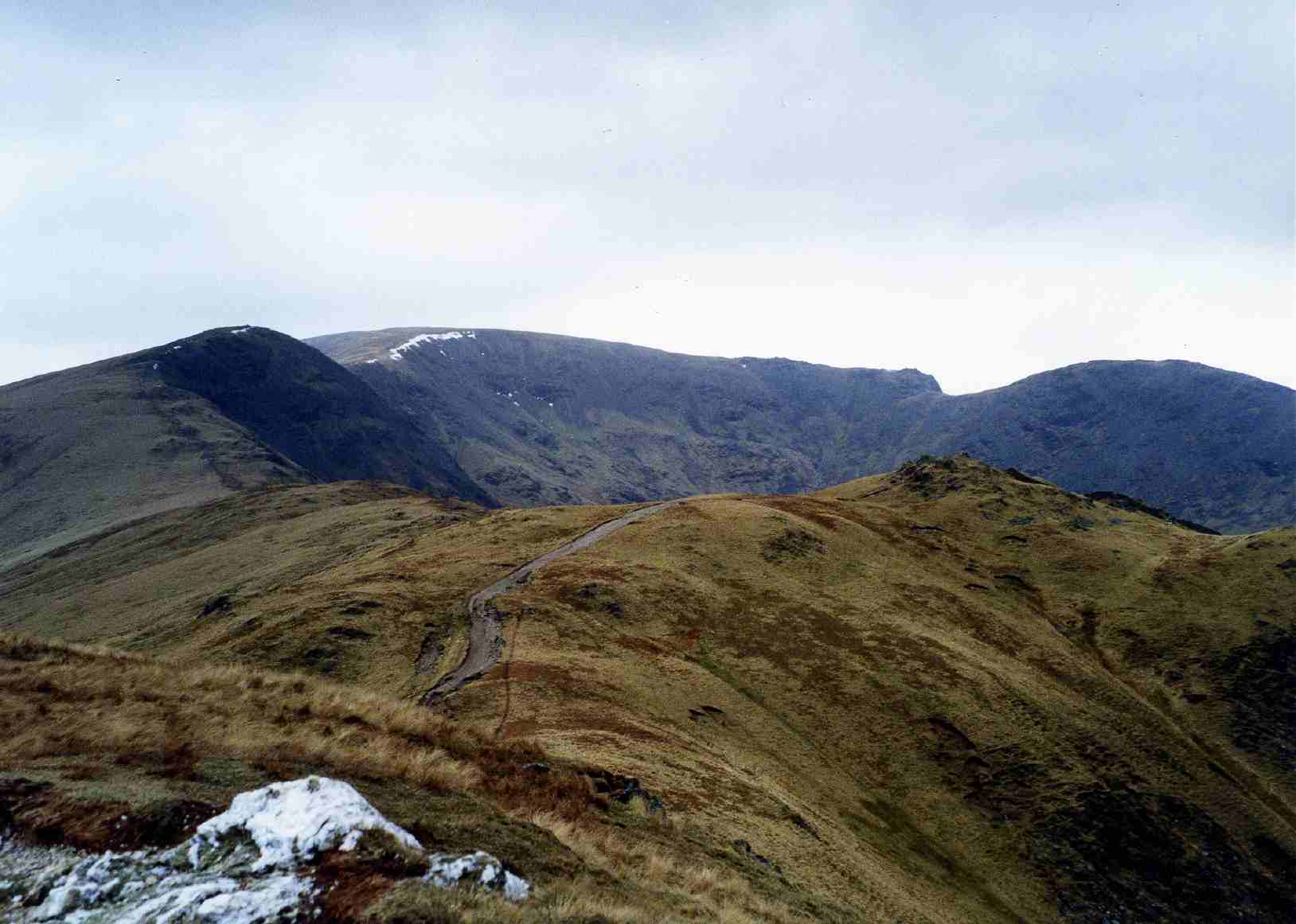
Fairfield horseshoe
Fairfield Horseshoe is a classic circular hillwalking ridge walk route starting from Rydal or Ambleside in the English Lake District that takes in all...

Low Pike
Low Pike is a small fell in the English Lake District. It has a modest height of 508 m (1,667 ft) and is situated three kilometres north of Ambleside....

Nab Scar
Nab Scar is a fell in the English Lake District, an outlier of the Fairfield group in the Eastern Fells. It stands above Rydal Water. == Topography... ==
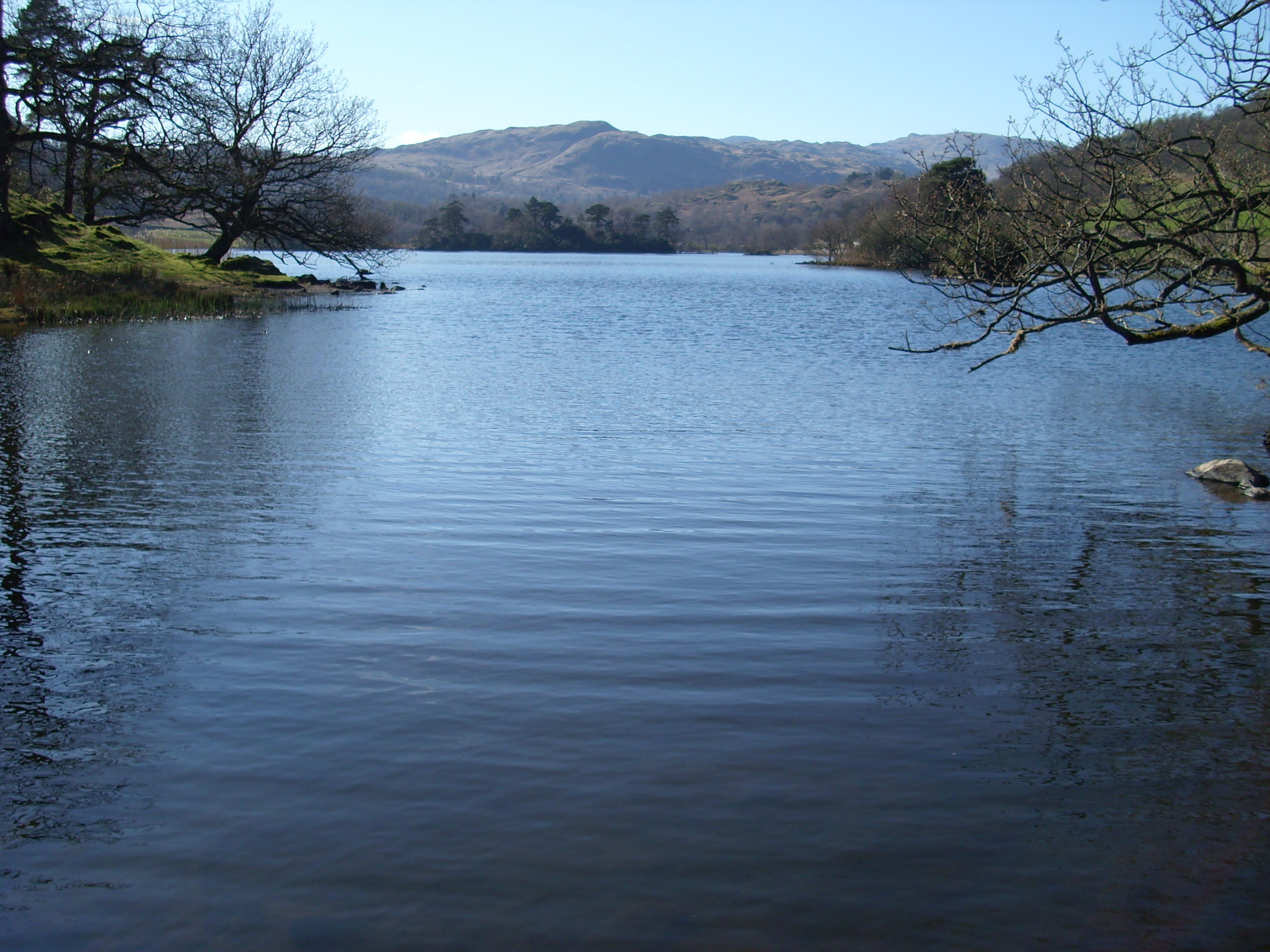
Rydal Water
Rydal Water is a small body of water in the central part of the English Lake District, in the county of Cumbria. It is located near the hamlet of Rydal...
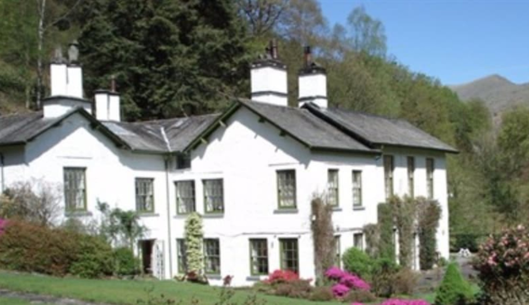
Fox Ghyll
Fox Ghyll or Foxghyll, earlier Fox Gill, is a historic house near Ambleside in Cumbria, England, and is a Grade II listed building. It is a Regency building...
Nearby Amenities
Located within 500m of 54.45189,-2.9712878Have you been to Hydal Park?
Leave your review of Hydal Park below (or comments, questions and feedback).