Farm Field

Downs, Moorland in Cambridgeshire South Cambridgeshire

England

Farm Field

Converted water tower in Cottenham, Cambridgeshire Brick tower mill converted to water tower with riveted steel tank. Apparently (3/05) undergoing second conversion. Mill was used for the processing of cereals from 1843 until 1898. The cap of the mill was then removed and from 1904 the building had been used as a water tower. 1903 photo is in the NMR.
Converted water tower in Cottenham, Cambridgeshire Credit: Nat Bocking

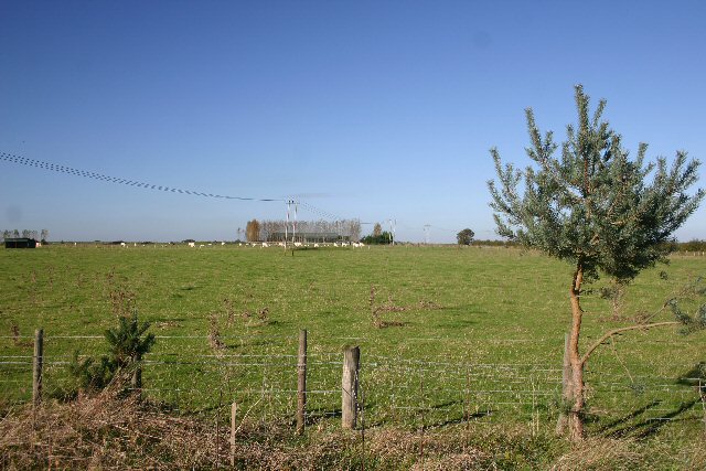
Farm Field is a picturesque area located in Cambridgeshire, England. This expansive landscape encompasses both downs and moorland, offering a diverse and captivating environment. With an approximate area of [insert size], Farm Field boasts a rich agricultural history and is an essential part of the local community.

The downs in Farm Field are characterized by gently rolling hills and lush green pastures. These open spaces are primarily used for grazing livestock such as sheep and cattle. The downs provide a peaceful and idyllic setting, with breathtaking panoramic views of the surrounding countryside. The fertile soil in this area makes it ideal for farming, and various crops, including wheat, barley, and potatoes, are cultivated here.

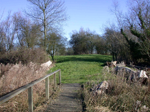
Adjacent to the downs, Farm Field also features moorland, which is characterized by its wet and boggy terrain. This unique ecosystem supports a diverse range of plant and animal species, including heather, mosses, and various species of birds. The moorland is carefully managed to preserve its natural beauty and ecological balance.

Farm Field is not only a haven for flora and fauna but also a popular destination for outdoor enthusiasts. The downs offer ample opportunities for hiking, horseback riding, and picnicking, while the moorland provides a serene setting for birdwatching and nature walks.

Overall, Farm Field in Cambridgeshire offers a harmonious blend of downs and moorland, providing a captivating and diverse landscape for both agricultural and recreational purposes.

If you have any feedback on the listing, please let us know in the comments section below.
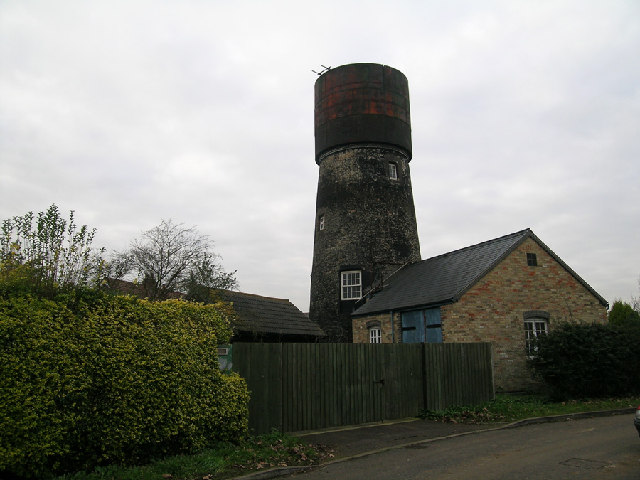
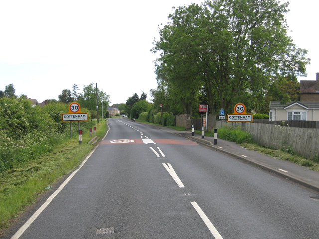
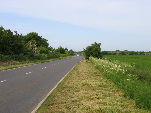
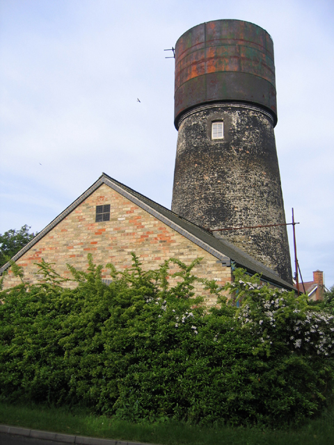
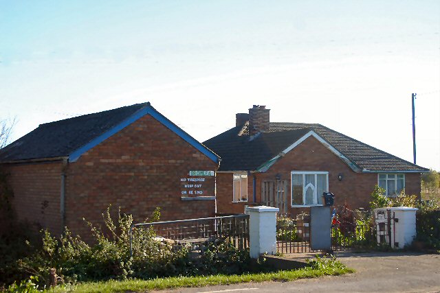
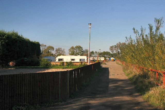
Farm Field Images

Images are sourced within 2km of 52.276908/0.10039496 or Grid Reference TL4366. Thanks to Geograph Open Source API. All images are credited.

Converted water tower in Cottenham, Cambridgeshire Brick tower mill converted to water tower with riveted steel tank. Apparently (3/05) undergoing second conversion. Mill was used for the processing of cereals from 1843 until 1898. The cap of the mill was then removed and from 1904 the building had been used as a water tower. 1903 photo is in the NMR.
Converted water tower in Cottenham, Cambridgeshire
Brick tower mill converted to water tower with riveted steel tank. Apparently (3/05) undergoing second conversion. Mill was used for the processing of cereals from 1843 until 1898. The cap of the mill was then removed and from 1904 the building had been used as a water tower. 1903 photo is in the NMR.
The Black Horse, Rampton CB4 Dating from 1851, or earlier.
The Black Horse, Rampton CB4
Dating from 1851, or earlier.
Little North Fen, Cottenham CB4 Little North fen, west of Cottenham village, was recorded as early as 1330.
Little North Fen, Cottenham CB4
Little North fen, west of Cottenham village, was recorded as early as 1330.
Entrance to Cottenham, Cambs along the B1049 Histon Road.
Entrance to Cottenham, Cambs
along the B1049 Histon Road.
Oakington Road, Westwick, Cambs A row of houses, approaching the hamlet from the direction of Cottenham.
Oakington Road, Westwick, Cambs
A row of houses, approaching the hamlet from the direction of Cottenham.
Oakington Road, Cottenham, Cambs – view towards Westwick as the road crosses Further or Farm Field.
Oakington Road, Cottenham, Cambs
– view towards Westwick as the road crosses Further or Farm Field.
Windmill turned water tower, Cottenham, Cambs – view from Manse Drive.
Windmill turned water tower, Cottenham, Cambs
– view from Manse Drive.
Rampton Bridge, Cambs spanning the Westwick Brook, taken from the footpath forming the parish boundary between Rampton and Cottenham.
Rampton Bridge, Cambs
spanning the Westwick Brook, taken from the footpath forming the parish boundary between Rampton and Cottenham.
New Cut drain, Cottenham, Cambs at the bend where it heads across the North Fen.
New Cut drain, Cottenham, Cambs
at the bend where it heads across the North Fen.
Reynolds' Drove, Rampton, Cambs a public byway crossing Brook Field, from Cuckoo Lane towards Longstanton.
Reynolds' Drove, Rampton, Cambs
a public byway crossing Brook Field, from Cuckoo Lane towards Longstanton.
Cottages by The Green, Rampton, Cambs
Corrugated metal roof, Rampton, Cambs on the south side of King Street.
Corrugated metal roof, Rampton, Cambs
on the south side of King Street.
Cottages by The Green, Rampton, Cambs No. 19 and 20, built in 1902.
Cottages by The Green, Rampton, Cambs
No. 19 and 20, built in 1902.
Free Church Mission Hall, Rampton, Cambs erected 1902 on the corner of High Street and Cow Lane.
Free Church Mission Hall, Rampton, Cambs
erected 1902 on the corner of High Street and Cow Lane.
Parish pump, Rampton, Cambs located on The Green.
Parish pump, Rampton, Cambs
located on The Green.
Keep out - or be shot! The sign on this bungalow bordering the busy B1049 between Histon and Cottenham says, "No trespass keep out or be sho.."  Just discernible are the last two letters 'ot', but someone must have kindly pointed out to the owner that it should be 'shot' instead of 'shoot'. But he hasn't got round to repainting the 't'. Perhaps he prefers to leave you wondering.
Keep out - or be shot!
The sign on this bungalow bordering the busy B1049 between Histon and Cottenham says, "No trespass keep out or be sho.." Just discernible are the last two letters 'ot', but someone must have kindly pointed out to the owner that it should be 'shot' instead of 'shoot'. But he hasn't got round to repainting the 't'. Perhaps he prefers to leave you wondering.
Travellers' caravan site, Histon Situated just north of Histon in a quiet area off the B1049.
Travellers' caravan site, Histon
Situated just north of Histon in a quiet area off the B1049.
Cuckoo Hill Farm A small farm north-east of Westwick.
Cuckoo Hill Farm
A small farm north-east of Westwick.
Show me another place!

Farm Field is located at Grid Ref: TL4366 (Lat: 52.276908, Lng: 0.10039496)

Administrative County: Cambridgeshire

District: South Cambridgeshire

Police Authority: Cambridgeshire

Also known as: Further Field

What 3 Words

///invest.king.meanders. Near Cottenham, Cambridgeshire

Nearby Locations

Farm Field Further Field

Related Wikis

Rampton Castle

Rampton Castle, known locally as Giant's Hill, is the earthwork remains of a motte and bailey castle in Rampton, Cambridgeshire. It is believed that the...

Westwick, Cambridgeshire

Westwick is a hamlet and former civil parish, now in the parish of Oakington and Westwick, in the South Cambridgeshire district, in the county of Cambridgeshire...

Cottenham Village College

Cottenham Village College is an academy school located in Cottenham, Cambridgeshire, England. The school offers secondary education to pupils from the...

Rampton, Cambridgeshire

Rampton is a village in Cambridgeshire, England, situated on the edge of The Fens six miles to the north of Cambridge. == History == The edge of the Fens...

Have you been to Farm Field?

Leave your review of Farm Field below (or comments, questions and feedback).