Henbrook
Settlement in Worcestershire Wychavon
England
Henbrook
Henbrook is a small village located in the county of Worcestershire, England. Situated approximately 6 miles to the northeast of the county town of Worcester, Henbrook is nestled in a picturesque rural setting, surrounded by rolling hills and fields. The village is part of the Wychavon district and falls within the administrative boundaries of the parish of Himbleton.
Known for its tranquil ambiance and natural beauty, Henbrook attracts visitors looking to escape the hustle and bustle of city life. The village itself is characterized by a collection of charming stone cottages, many of which date back several centuries, giving it a distinct historic charm. The well-kept gardens and vibrant flower displays add to the village's visual appeal.
The heart of Henbrook is its village green, a central gathering place for locals and visitors alike. The green is often host to community events, including summer fairs and cricket matches, fostering a strong sense of community spirit. Additionally, the village boasts a small but friendly pub, The Henbrook Arms, which serves as a popular meeting point for residents.
Despite its small size, Henbrook benefits from good transportation links. The nearby A448 road provides easy access to Worcester and surrounding towns, while the Henbrook railway station connects the village to the wider rail network.
For those seeking outdoor activities, the surrounding countryside offers ample opportunities for walking, cycling, and exploring nature. Nearby attractions include the historic Worcester Cathedral and the idyllic Worcestershire countryside, known for its scenic beauty and charming villages.
In summary, Henbrook is a quaint village in Worcestershire, renowned for its natural beauty, historic architecture, and strong sense of community.
If you have any feedback on the listing, please let us know in the comments section below.
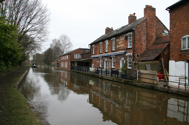
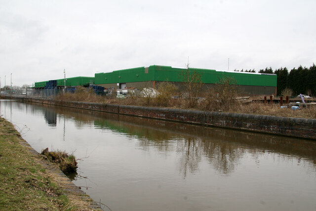
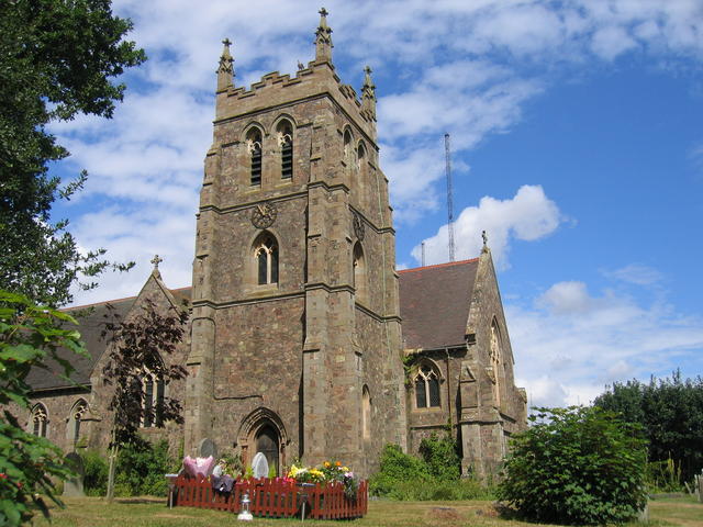
Henbrook Images
Images are sourced within 2km of 52.298794/-2.106284 or Grid Reference SO9266. Thanks to Geograph Open Source API. All images are credited.


Henbrook is located at Grid Ref: SO9266 (Lat: 52.298794, Lng: -2.106284)
Administrative County: Worcestershire
District: Wychavon
Police Authority: West Mercia
What 3 Words
///waistcoat.clown.animals. Near Wychbold, Worcestershire
Nearby Locations
Related Wikis

Droitwich Transmitting Station
The Droitwich transmitting station is a large broadcasting facility for long-wave and medium-wave transmissions, established in 1934 in the civil parish...

Upton Warren
Upton Warren is a village and civil parish in the Wychavon district, in Worcestershire, England. The village is situated just off the A38 road between...
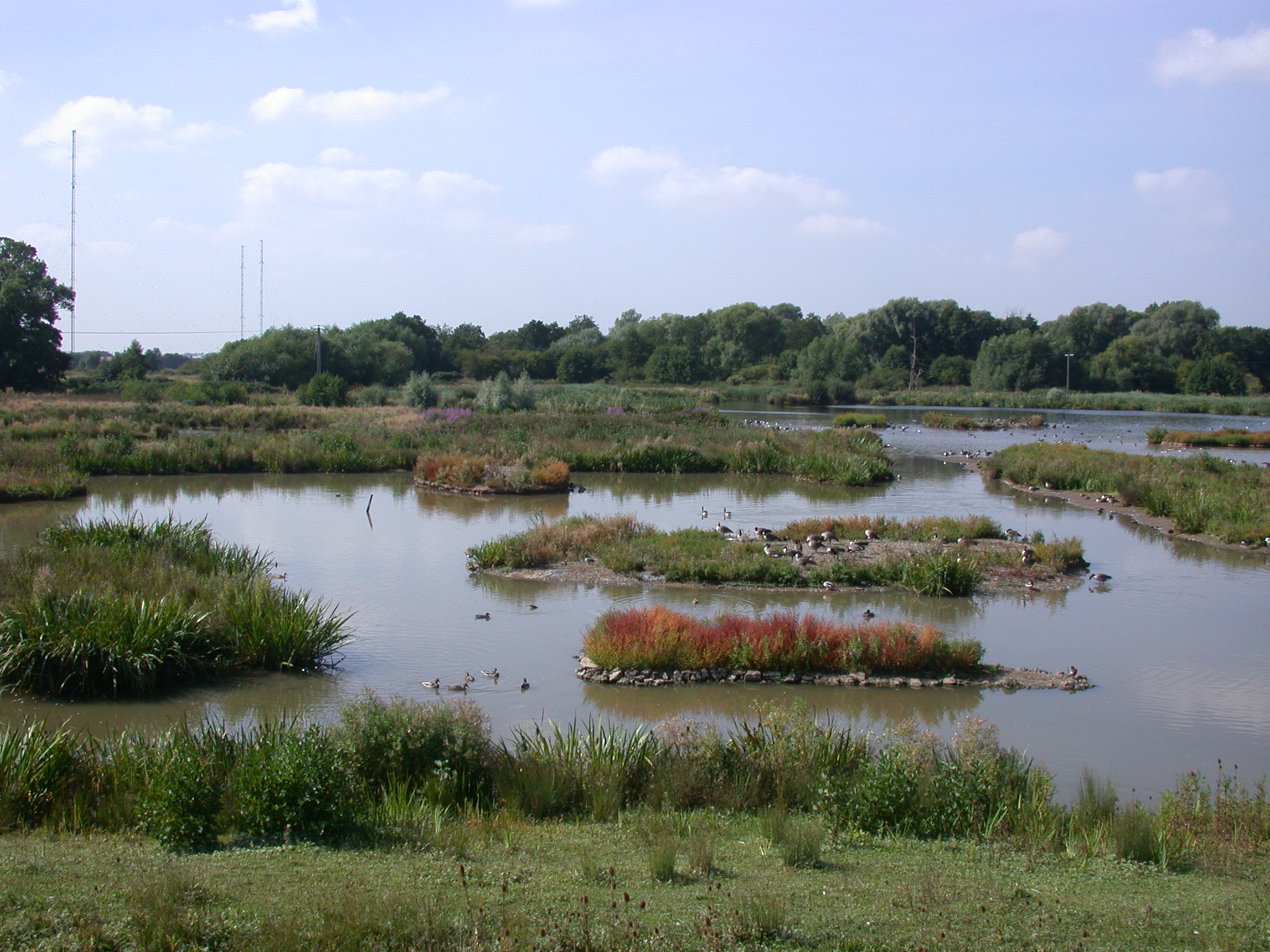
Christopher Cadbury Wetland Reserve
The Christopher Cadbury Wetland Reserve is a nature reserve of the Worcestershire Wildlife Trust. It is situated near Upton Warren, between Bromsgrove...
Wychbold
Wychbold is a village in the Wychavon district of Worcestershire. The village is situated on the A38 between Droitwich Spa and Bromsgrove, and by Junction...
Nearby Amenities
Located within 500m of 52.298794,-2.106284Have you been to Henbrook?
Leave your review of Henbrook below (or comments, questions and feedback).