Holmes Park
Downs, Moorland in Kent Thanet
England
Holmes Park

Holmes Park, located in Kent (Downs, Moorland), is a picturesque nature reserve spanning over a vast area of land. It is renowned for its stunning landscapes, diverse flora and fauna, and recreational opportunities.
The park boasts a range of habitats, including rolling hills, dense woodlands, and open meadows. Visitors can explore the various walking trails that wind through the park, offering breathtaking views of the surrounding countryside. The park is also home to several streams and ponds, attracting a wealth of wildlife, such as ducks, swans, and various species of fish.
Nature enthusiasts will be captivated by the rich biodiversity found within Holmes Park. The woodlands are teeming with ancient trees, including oak, beech, and ash, providing a habitat for numerous bird species and small mammals. Wildflowers adorn the meadows during the spring and summer months, creating a vibrant tapestry of colors.
For those seeking an active day out, Holmes Park offers a range of recreational activities. There are designated picnic areas for families and friends to enjoy, along with ample space for outdoor games and sports. The park also features a children's playground, providing entertainment for younger visitors.
Holmes Park is easily accessible, with ample parking facilities and well-maintained paths suitable for all abilities. The park is managed by a dedicated team of conservationists and volunteers, ensuring the preservation of its natural beauty and the protection of its wildlife.
Overall, Holmes Park, Kent (Downs, Moorland) is a haven for nature lovers and outdoor enthusiasts, offering a tranquil escape from the bustling city life. Its stunning landscapes, diverse wildlife, and recreational opportunities make it a must-visit destination for locals and tourists alike.
If you have any feedback on the listing, please let us know in the comments section below.
Holmes Park Images
Images are sourced within 2km of 51.364817/1.4413285 or Grid Reference TR3968. Thanks to Geograph Open Source API. All images are credited.


Holmes Park is located at Grid Ref: TR3968 (Lat: 51.364817, Lng: 1.4413285)
Administrative County: Kent
District: Thanet
Police Authority: Kent
What 3 Words
///hurls.scared.media. Near Broadstairs, Kent
Nearby Locations
Related Wikis
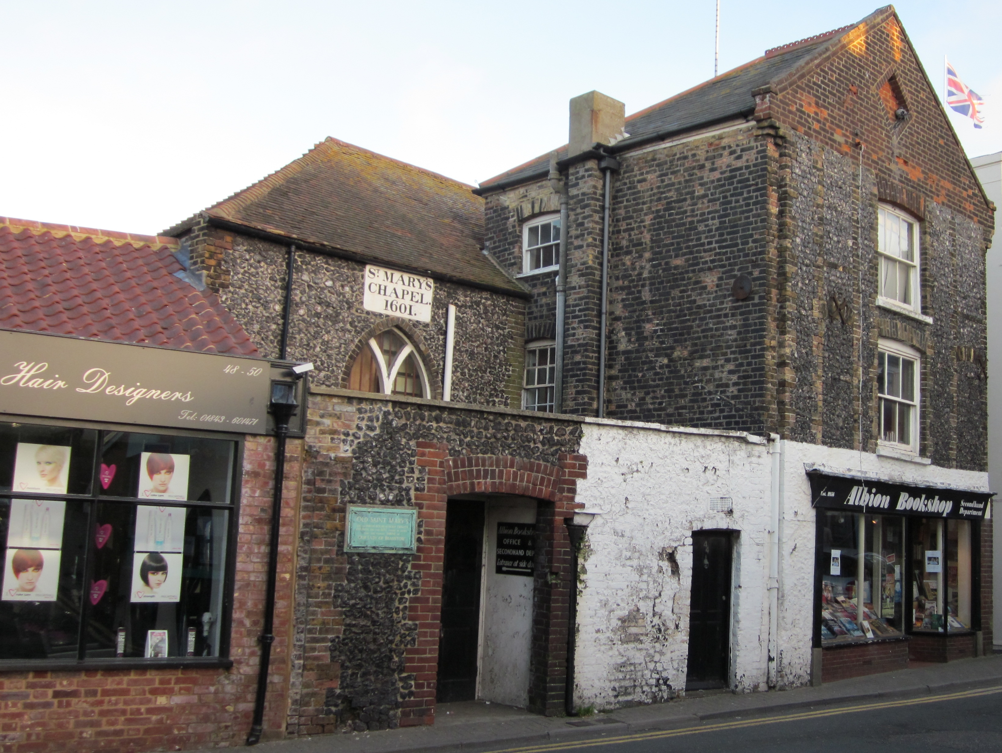
Shrine of Our Lady, Bradstowe
The Shrine of Our Ladye Star of the Sea was an old chapel on the cliffs at Broadstairs (which was formerly known as Bradstowe). Dating back at least to...
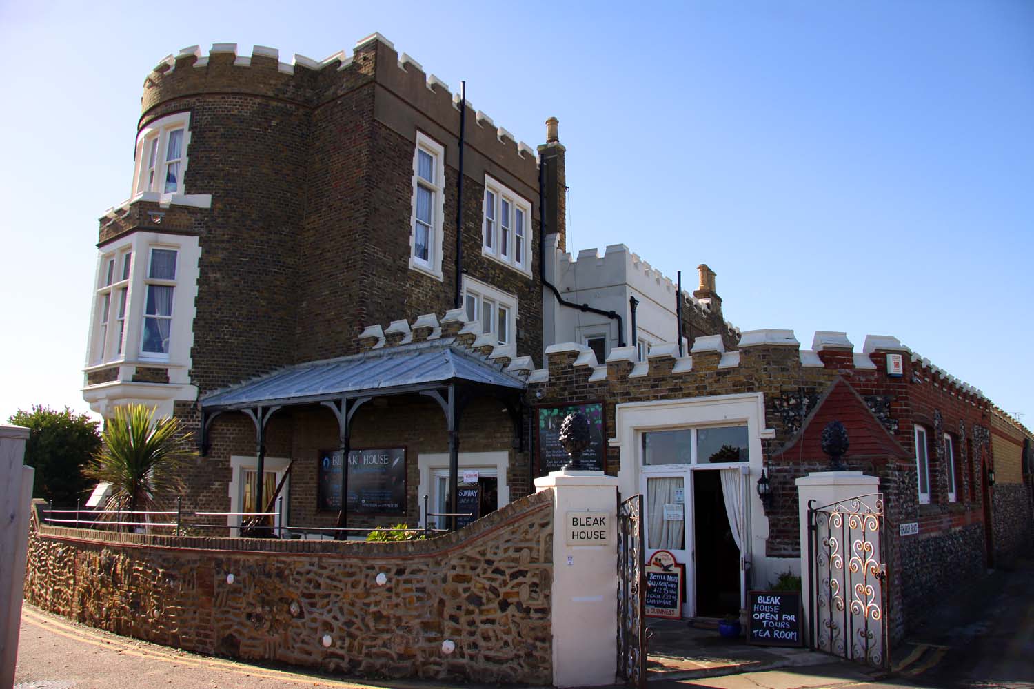
Bleak House, Broadstairs
Bleak House (originally known as Fort House) is a prominent house on the cliff overlooking the North Foreland and Viking Bay in Broadstairs, Kent. It was...

Palace Cinema, Broadstairs
The Palace Cinema is an independent single-screen cinema in Broadstairs, Kent, England. Housed in a converted commercial building, it opened in 1965 as...
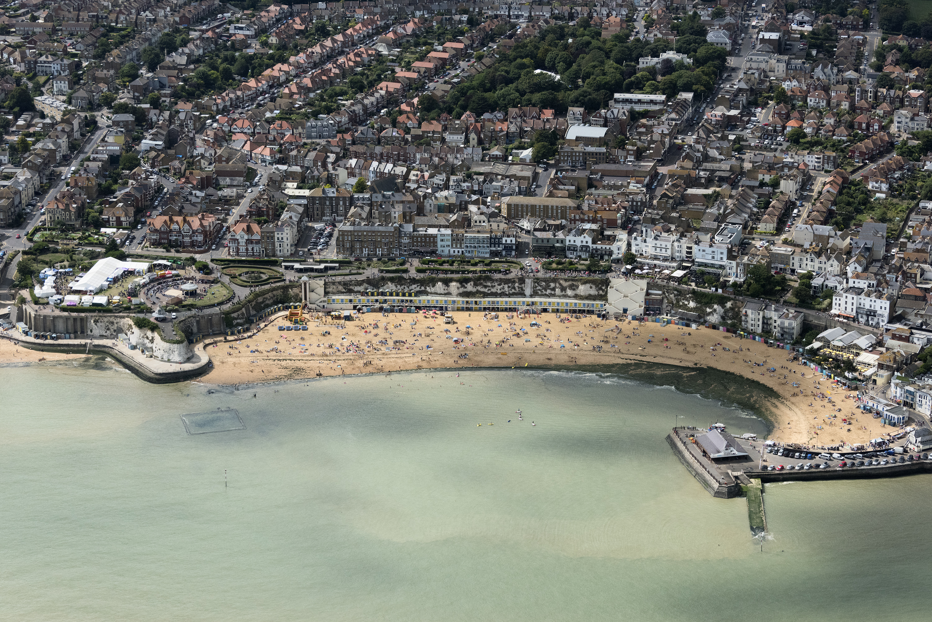
Broadstairs
Broadstairs is a coastal town on the Isle of Thanet in the Thanet district of east Kent, England, about 80 miles (130 km) east of London. It is part of...
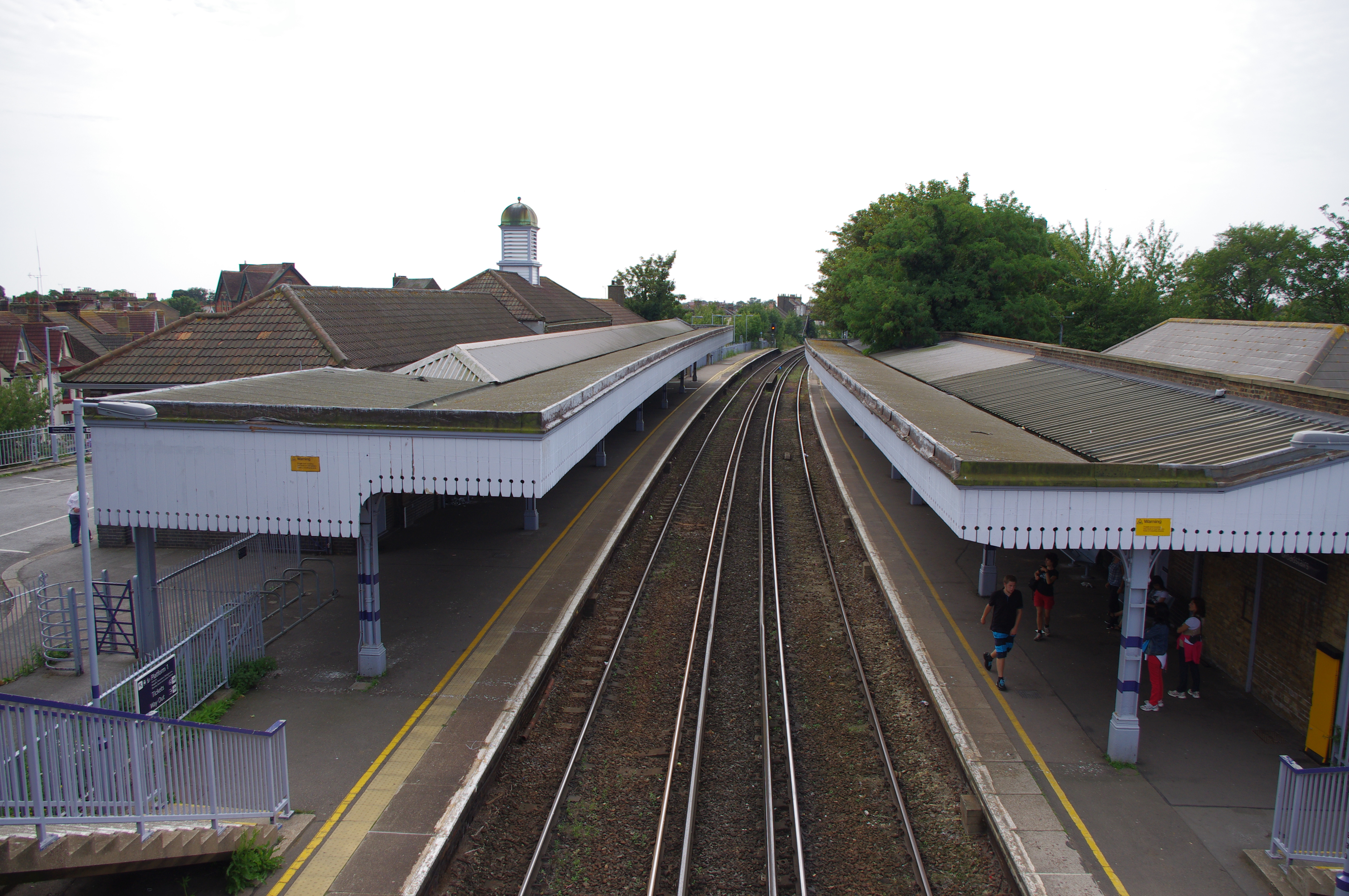
Broadstairs railway station
Broadstairs railway station is on the Chatham Main Line in England, serving the seaside town of Broadstairs, Kent. It is 77 miles 9 chains (124 km) down...

Broadstairs and St Peter's
Broadstairs and St Peter's is a civil parish in the Thanet district of Kent, England. The parish comprises the settlements of Broadstairs, St Peter's and...

St Stephen's College, Broadstairs
Sts Stephen's College was an educational establishment for girls run by the Community of St John Baptist, an Anglican convent of Augustinian nuns in Clewer...
Culmer White
The Culmer White was a 19th-century lifeboat of the Isle of Thanet, Kent, England. With its sister boat, the Mary White, it took part in the rescue of...
Nearby Amenities
Located within 500m of 51.364817,1.4413285Have you been to Holmes Park?
Leave your review of Holmes Park below (or comments, questions and feedback).