Great Common
Downs, Moorland in Suffolk East Suffolk
England
Great Common
Great Common is a picturesque area located in Suffolk, England. It is renowned for its stunning natural beauty, encompassing a combination of downs and moorland landscapes. The region is characterized by wide expanses of rolling hills, interspersed with patches of heathland and scattered woodland.
The downs of Great Common showcase a diverse range of flora and fauna. One can find an array of wildflowers, including vibrant orchids and delicate harebells, dotting the grassy slopes during the summer months. The area is also home to a variety of bird species, such as skylarks and stonechats, which can be observed soaring above the undulating terrain.
The moorland in Great Common boasts a unique ecosystem, with heather and gorse dominating the landscape. This habitat provides a haven for several rare species, including the endangered silver-studded blue butterfly and the secretive nightjar. Visitors can enjoy leisurely walks along the designated trails, taking in the breathtaking panoramic views and catching glimpses of these elusive creatures.
Great Common's natural beauty is further accentuated by the presence of ancient archaeological sites. Remnants of Bronze Age burial mounds and Iron Age hillforts can be found scattered across the area, offering a glimpse into the region's rich historical past.
Overall, Great Common, Suffolk (Downs, Moorland) is a captivating destination that combines stunning natural landscapes, diverse wildlife, and fascinating historical sites. It is a haven for nature lovers, hikers, and history enthusiasts seeking an immersive and enchanting experience.
If you have any feedback on the listing, please let us know in the comments section below.
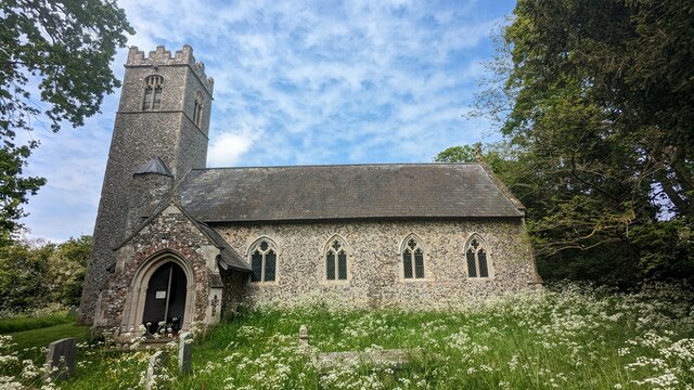
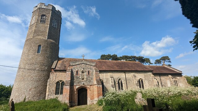
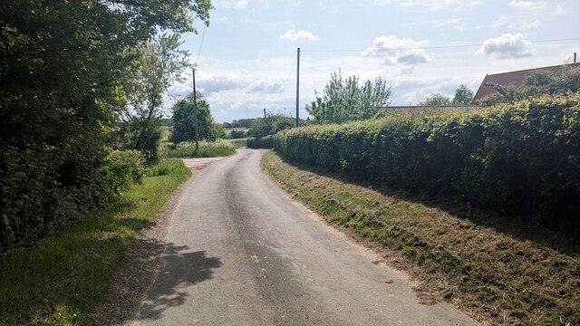
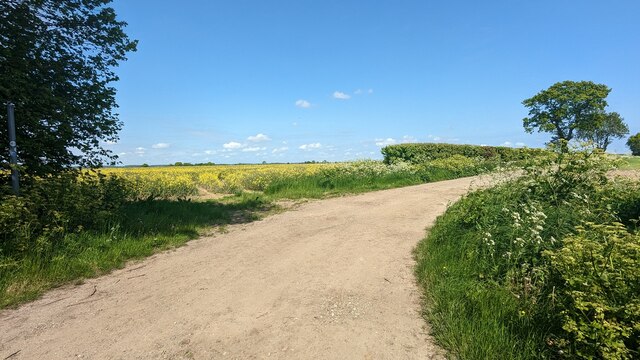
Great Common Images
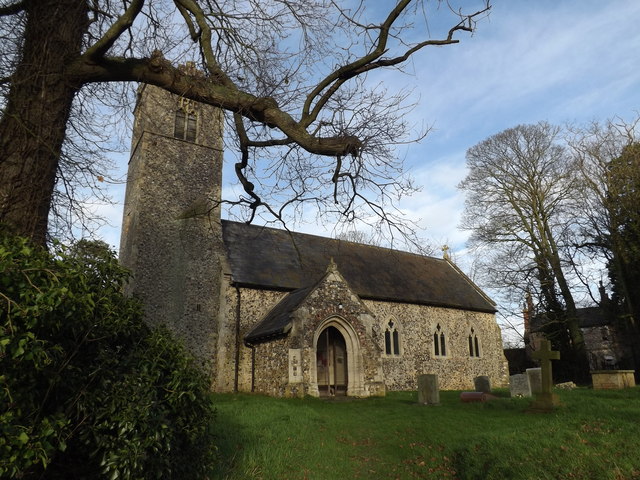
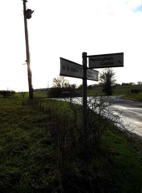
Images are sourced within 2km of 52.42922/1.4941695 or Grid Reference TM3786. Thanks to Geograph Open Source API. All images are credited.


Great Common is located at Grid Ref: TM3786 (Lat: 52.42922, Lng: 1.4941695)
Administrative County: Suffolk
District: East Suffolk
Police Authority: Suffolk
What 3 Words
///mainly.dictation.cluttered. Near Bungay, Suffolk
Nearby Locations
Related Wikis

Ilketshall St Andrew
Ilketshall St Andrew is a village and civil parish in the north of the English county of Suffolk. It is 3 miles (4.8 km) south-east of Bungay and the same...
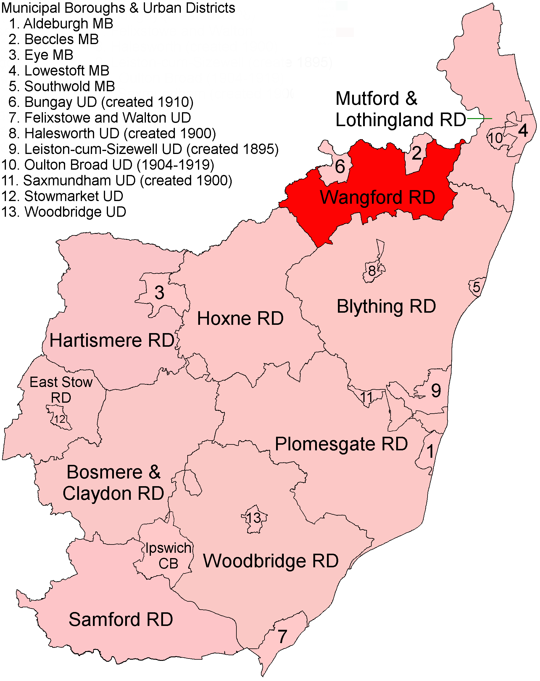
Wangford Rural District
Wangford Rural District was a rural district within the administrative county of East Suffolk between 1894 and 1934. It was created out of the earlier...

Wainford Rural District
Wainford Rural District was a rural district in East Suffolk, England, between 1934 and 1974. It was created by a merger of the disbanded Wangford Rural...

Ilketshall St John
Ilketshall St John is a village and civil parish in the East Suffolk district of the English county of Suffolk. It is 2 miles (3.2 km) south-east of the...
Nearby Amenities
Located within 500m of 52.42922,1.4941695Have you been to Great Common?
Leave your review of Great Common below (or comments, questions and feedback).