Ash Level
Downs, Moorland in Kent Dover
England
Ash Level
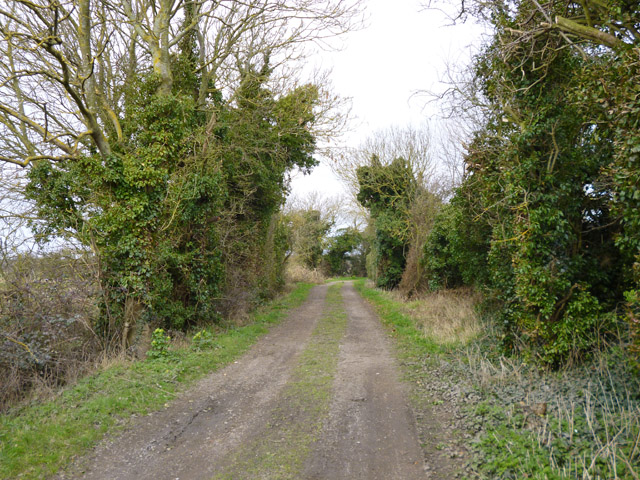
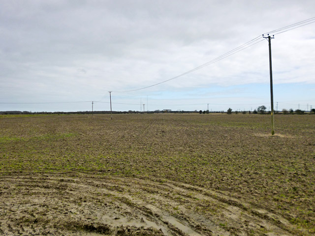
Ash Level is a geographical area located in Kent, England, known for its picturesque landscape consisting of downs and moorland. Situated in the southeastern part of the country, Ash Level is renowned for its natural beauty and tranquil surroundings.
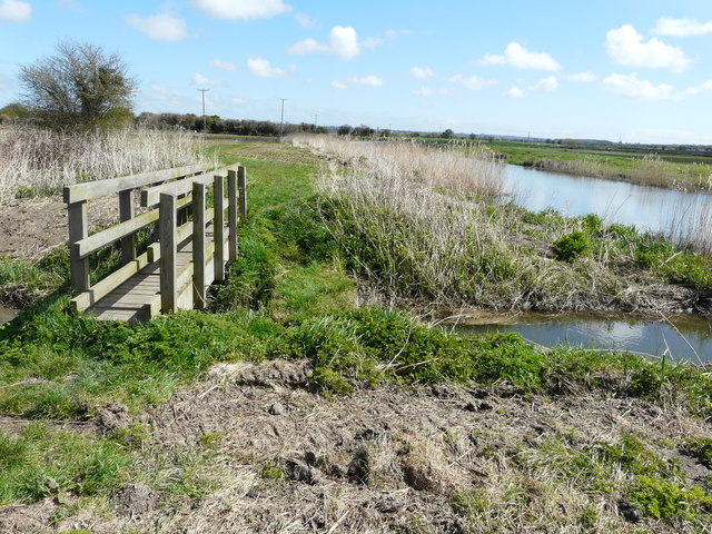
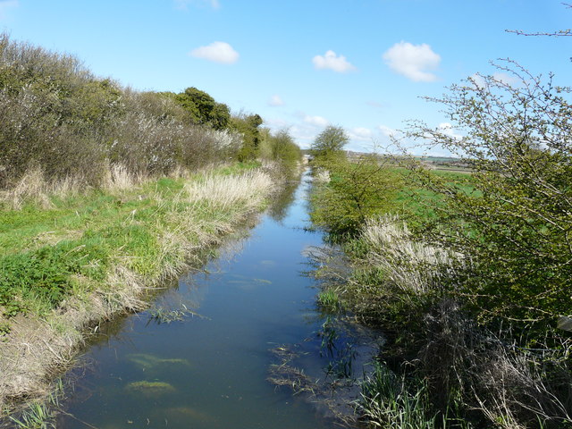
The downs in Ash Level refer to the rolling hills that dominate the landscape. These hills are characterized by their gentle slopes and lush grasslands, creating a scenic backdrop that attracts nature enthusiasts and hikers alike. The downs of Ash Level offer breathtaking views of the surrounding countryside and provide ample opportunities for outdoor activities such as walking, cycling, and horseback riding.
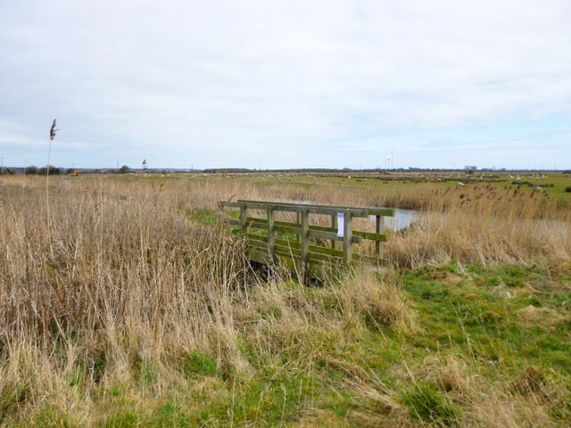
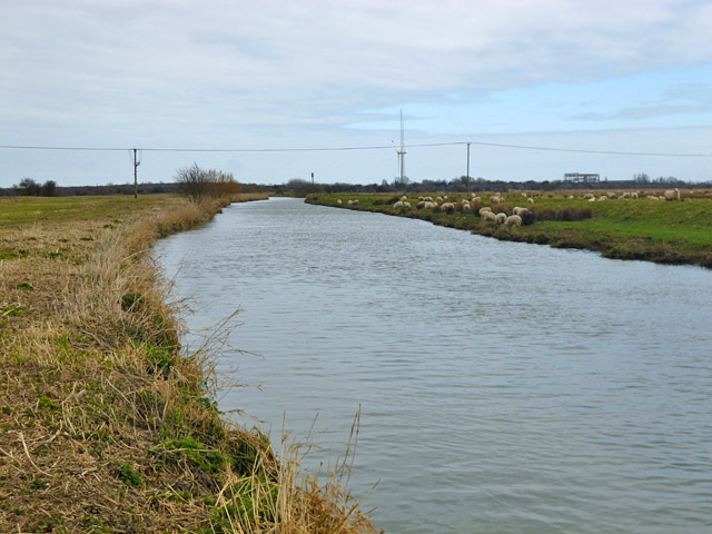
In addition to the downs, Ash Level is also home to vast stretches of moorland. Moorland is characterized by its open, rugged terrain, covered in heather, grasses, and scattered shrubs. The moorland in Ash Level is a haven for a variety of wildlife species, including birds, mammals, and reptiles. It is a popular destination for birdwatchers, with several species of birds, such as curlews and lapwings, making their home in this diverse ecosystem.
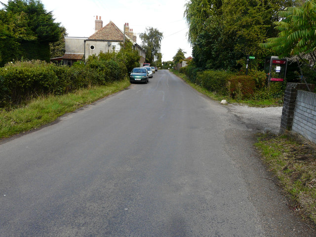
The area surrounding Ash Level is dotted with small villages and farms, adding to the charm and rural character of the region. The local communities offer a warm welcome to visitors and provide opportunities to experience the rich cultural heritage and traditional way of life in the area.
Overall, Ash Level in Kent is a place of natural beauty and tranquility, offering visitors the chance to immerse themselves in the stunning downs and moorland landscapes while enjoying the peace and serenity of the countryside.
If you have any feedback on the listing, please let us know in the comments section below.
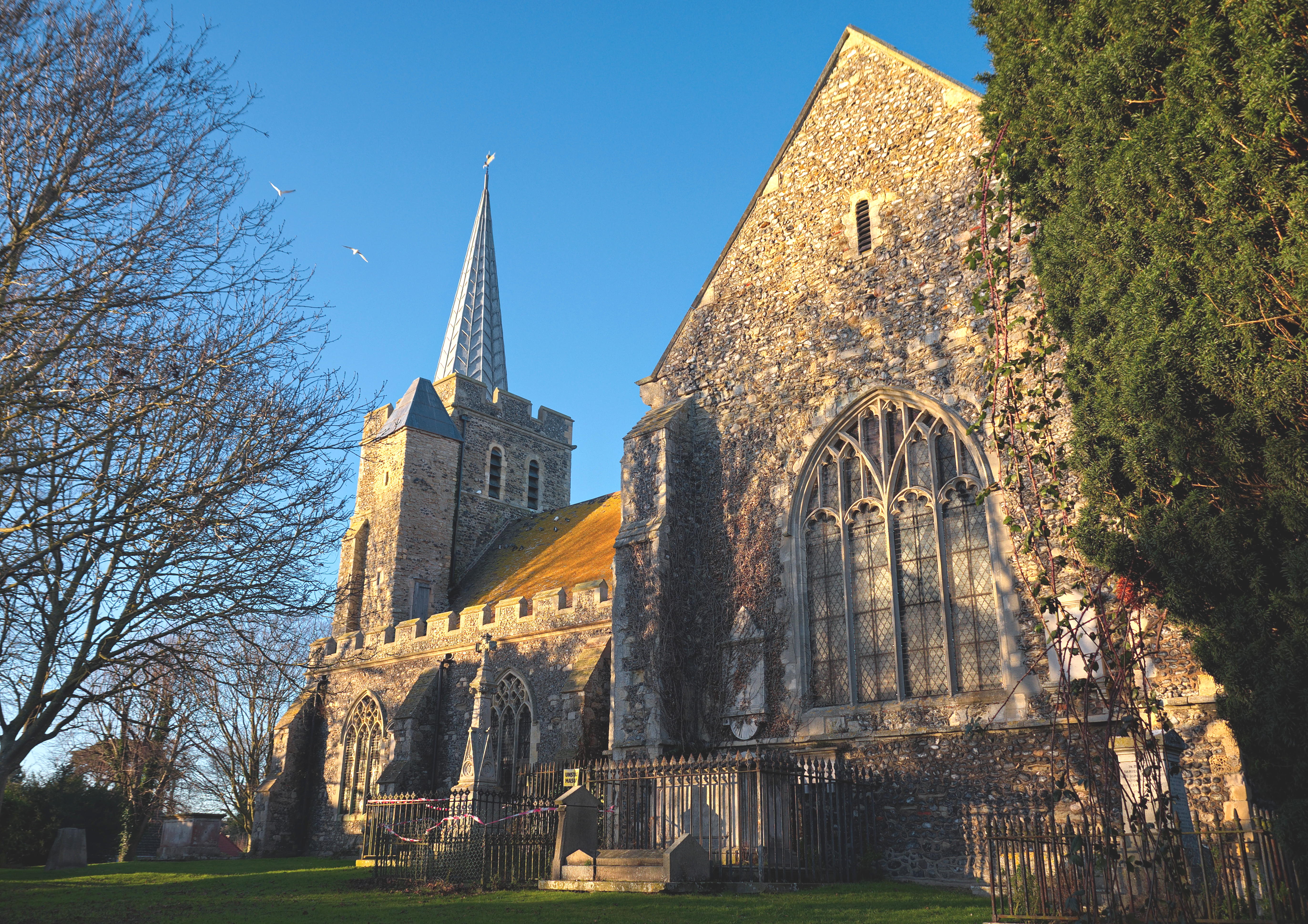
Ash Level Images
Images are sourced within 2km of 51.308091/1.2999516 or Grid Reference TR3061. Thanks to Geograph Open Source API. All images are credited.


Ash Level is located at Grid Ref: TR3061 (Lat: 51.308091, Lng: 1.2999516)
Administrative County: Kent
District: Dover
Police Authority: Kent
What 3 Words
///learning.mildest.tadpoles. Near Ash, Kent
Nearby Locations
Related Wikis

Richborough
Richborough () is a settlement north of Sandwich on the east coast of the county of Kent, England. Richborough lies close to the Isle of Thanet. The population...

Ware, Kent
Ware is a village situated between Canterbury and Ramsgate in Kent, England. The population of the village is included in the civil parish of Ash ��2...

Westmarsh
Westmarsh is a village in the Ash civil parish of East Kent, England. It is situated 8 miles (13 km) east of Canterbury and 7 miles (11 km) west of Ramsgate...

Minster railway station
Minster railway station serves the village of Minster in Kent and surrounding villages. It is next to a junction between Canterbury West, Ramsgate and...

Richborough Castle
Richborough Castle is a Roman Saxon Shore fort better known as Richborough Roman Fort. It is situated in Richborough near Sandwich, Kent. Substantial remains...
Richborough Castle Halt railway station
Richborough Castle Halt was a minor station on the Kent Coast Line named after the nearby Richborough Castle. It opened in 1918 for military use. Public...
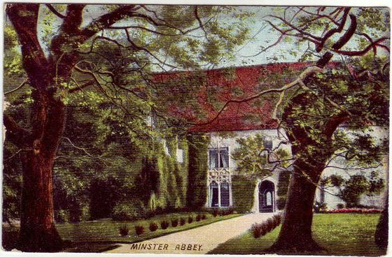
Minster in Thanet Priory
Minster Abbey is the name of two abbeys in Minster-in-Thanet, Kent, England. The first was a 7th-century foundation which lasted until the Dissolution...
Minster-in-Thanet
Minster, also known as Minster-in-Thanet, is a village and civil parish in the Thanet District of Kent, England. It is the site of Minster in Thanet Priory...
Have you been to Ash Level?
Leave your review of Ash Level below (or comments, questions and feedback).