Hoo Green

Downs, Moorland in Suffolk East Suffolk

England

Hoo Green

Recently-sown fields south of Skouldings
Recently-sown fields south of Skouldings Credit: Christopher Hilton

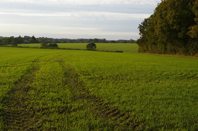
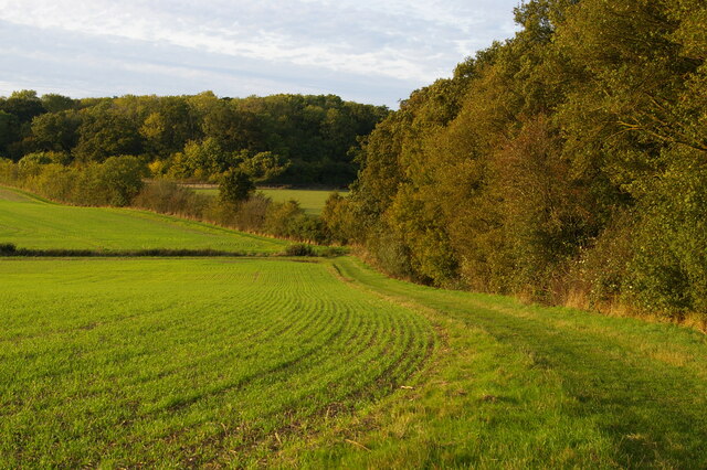
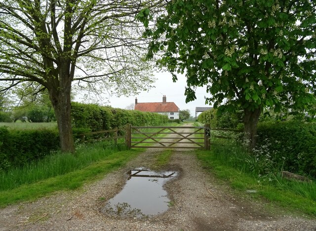
Hoo Green is a picturesque area located in Suffolk, England. Nestled amidst the stunning landscape of downs and moorland, it offers visitors a serene and tranquil environment to explore. With its rolling hills, open fields, and diverse vegetation, Hoo Green is a haven for nature enthusiasts and avid walkers.

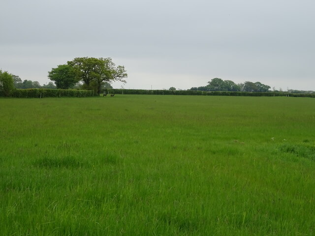
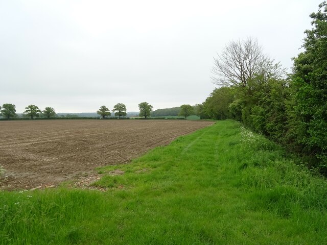
The countryside surrounding Hoo Green is characterized by its wide expanse of heathland, scattered with gorse bushes and heather. This unique ecosystem supports a variety of wildlife, including rare species of birds, insects, and small mammals. The moorland is dotted with several ponds and marshes, providing an ideal habitat for many water-loving creatures.

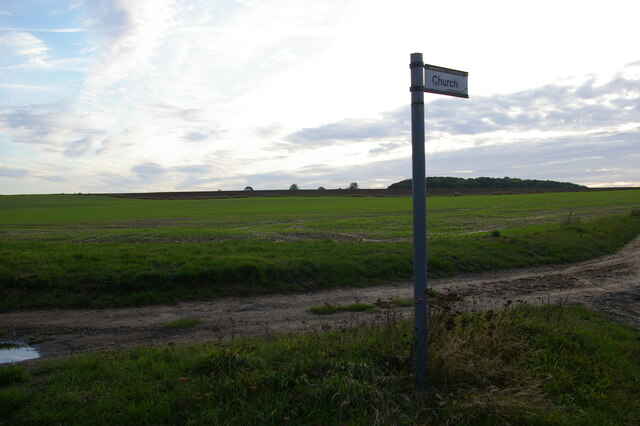
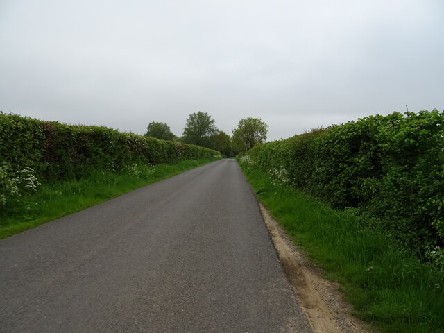
Visitors to Hoo Green can enjoy a range of outdoor activities, such as hiking, birdwatching, and photography. The area boasts numerous walking trails and footpaths that wind through the downs and moorland, offering breathtaking views and opportunities to spot the local flora and fauna. The tranquility of Hoo Green also makes it an excellent spot for picnics and relaxation.

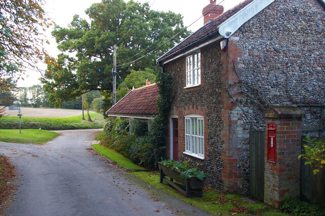
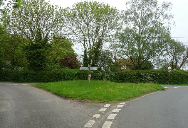
Hoo Green is easily accessible, with nearby parking facilities and public transport options. The surrounding villages offer amenities such as cafes, pubs, and accommodation for those wishing to extend their stay.

Overall, Hoo Green in Suffolk is a remarkable destination for nature lovers, offering a unique blend of downs and moorland landscapes. Its diverse wildlife, scenic vistas, and peaceful atmosphere make it a must-visit location for anyone seeking a connection with nature in the heart of England.

If you have any feedback on the listing, please let us know in the comments section below.
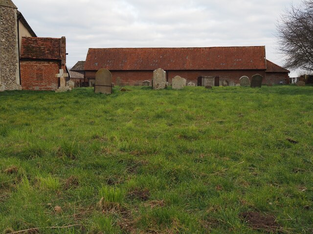
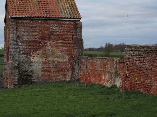
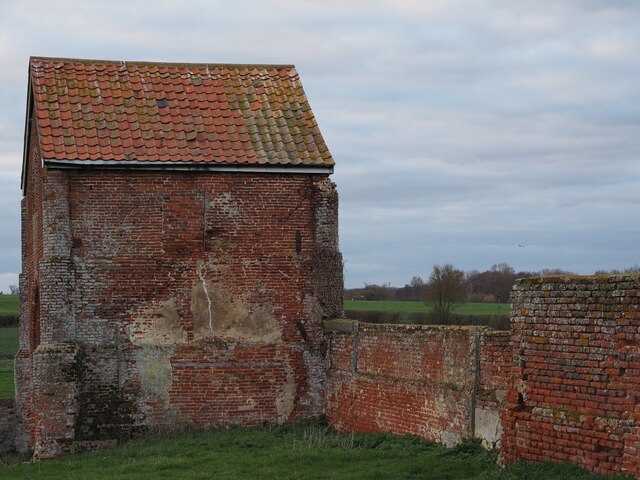
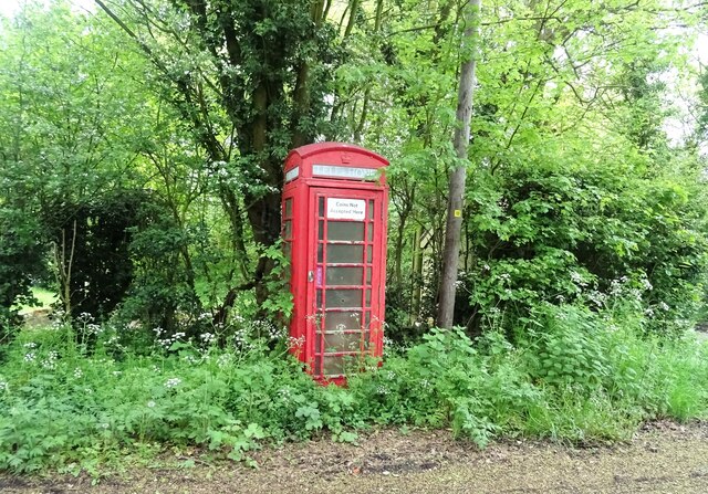
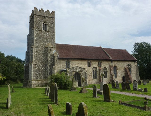
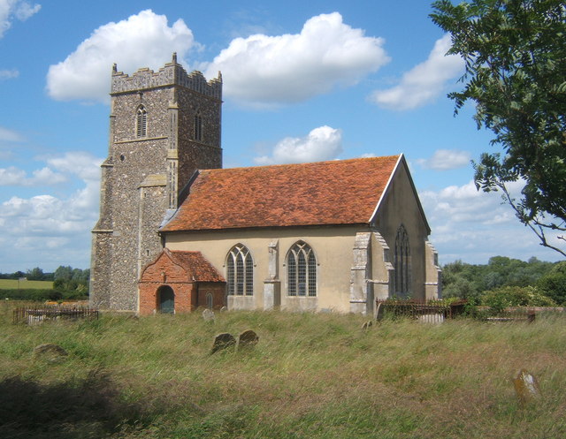
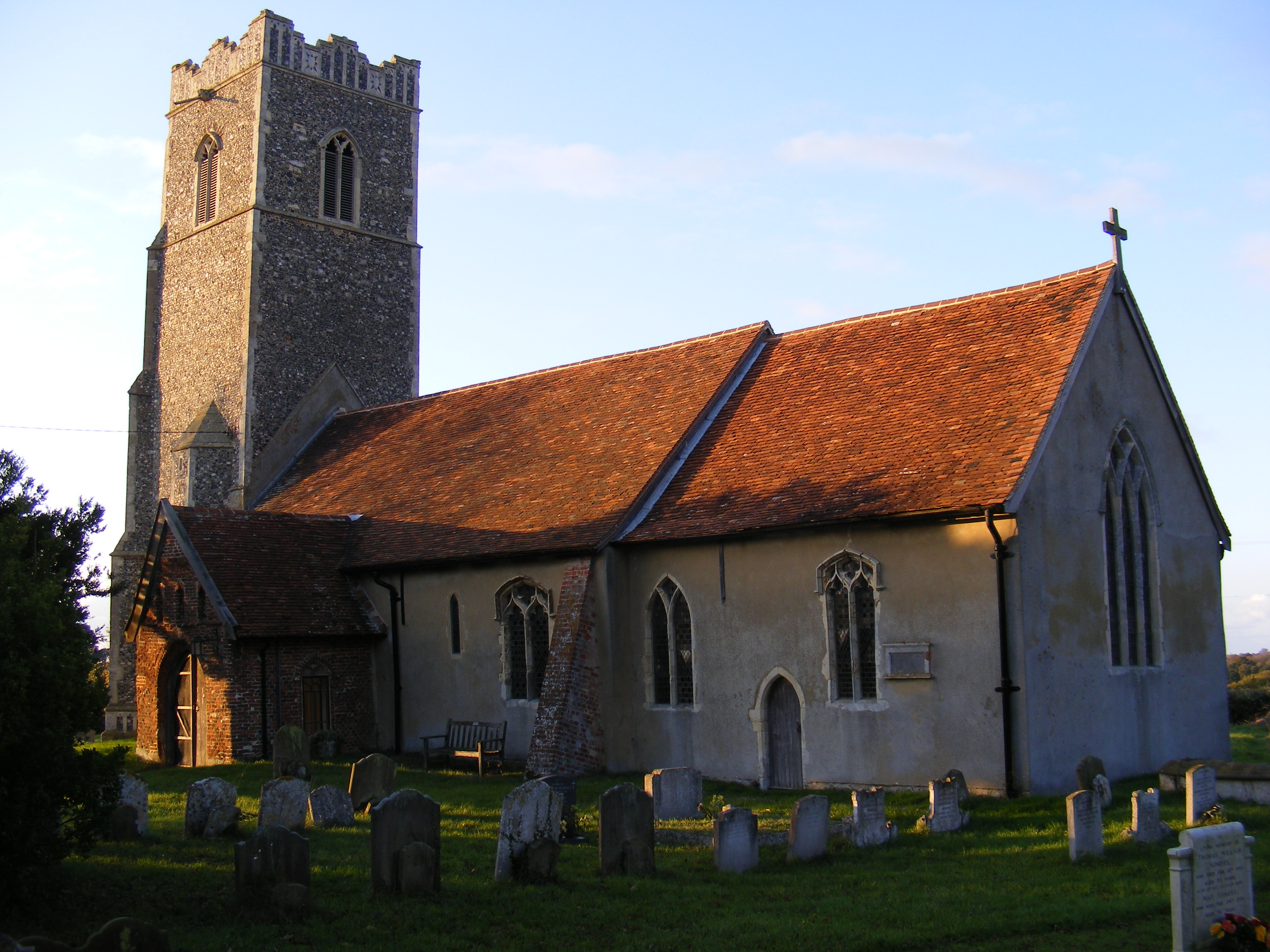
Hoo Green Images

Images are sourced within 2km of 52.179371/1.3007769 or Grid Reference TM2558. Thanks to Geograph Open Source API. All images are credited.

Recently-sown fields south of Skouldings
Path dropping into valley south of Skouldings
Junction of Cooks Hill and The Street, Letheringham
Track to the church, Letheringham
Church of Saint Mary, Letheringham – Churchyard Captured in March 2023, by Hugo King.
Church of Saint Mary, Letheringham – Churchyard
Captured in March 2023, by Hugo King.
Barn, (behind St Mary's, Letheringham) Captured in March 2023, by Hugo King
Barn, (behind St Mary's, Letheringham)
Captured in March 2023, by Hugo King
Barn (behind St Mary's, Letheringham) Captured in March 2023, by Hugo King
Barn (behind St Mary's, Letheringham)
Captured in March 2023, by Hugo King
A Tree between Easton and Kettleburgh Captured in Spring 2020, by Hugo King
A Tree between Easton and Kettleburgh
Captured in Spring 2020, by Hugo King
Footpath near St Mary's, Letheringham Captured in November 2020, by Hugo King
Footpath near St Mary's, Letheringham
Captured in November 2020, by Hugo King
National Cycle Route 1, Charsfield
Grassland, Boardy Green With deer in the distance.
Grassland, Boardy Green
With deer in the distance.
National Cycle Route 1, Boardy Green
Cottages, Hoo Green
Cottages, Hoo Green
Track to Elm Tree Farm
Field margin, Hoo Green
National Cycle Route 1, Hoo Green
Road junction with fingerpost, Hoo
K6 telephone box, Hoo Does not seem to have been used for a while.
K6 telephone box, Hoo
Does not seem to have been used for a while.
Show me another place!

Hoo Green is located at Grid Ref: TM2558 (Lat: 52.179371, Lng: 1.3007769)

Administrative County: Suffolk

District: East Suffolk

Police Authority: Suffolk

What 3 Words

///cowering.yourself.lure. Near Wickham Market, Suffolk

Related Wikis

Hoo, Suffolk

Hoo is a village and civil parish in the East Suffolk district of the English county of Suffolk. It is located 3 miles (4.8 km) north-west of the town...

Kettleburgh

Kettleburgh is a small village and civil parish in the East Suffolk district, in the county of Suffolk. The population of this Civil Parish at the 2011...

Letheringham

Letheringham is a sparsely populated civil parish in the East Suffolk district (formerly Deben Rural District and then Suffolk Coastal) in Suffolk, England...

Monewden

Monewden ( MON-ə-dən) is a small village and a civil parish in the hundred of Loss (Also: Loes, Loose), in the East Suffolk District, in the English county...

Nearby Amenities

Located within 500m of 52.179371,1.3007769
Village Sign
Naptan AtcoCode: 390060290
Naptan Bearing: E
Naptan BusStopType: CUS
Naptan CommonName: Village Sign
Naptan Indicator: adj
Naptan Landmark: Village Sign
Naptan NaptanCode: sufgpdpm
Naptan Street: Unclassified
Naptan Verified: no
Source: naptan_import
Lat/Long: 52.1817369/1.304555
Village Sign
Naptan AtcoCode: 390060291
Naptan Bearing: W
Naptan BusStopType: CUS
Naptan CommonName: Village Sign
Naptan Indicator: opp
Naptan Landmark: Village Sign
Naptan NaptanCode: sufgpdpt
Naptan Street: Unclassified
Naptan Verified: no
Source: naptan_import
Lat/Long: 52.1816295/1.3044454
Hoo
Place: village
Source: NLS - OS 1:25k 1st Series 1937-61
Wikidata: Q5897369
Lat/Long: 52.1822183/1.3008445
Give Way
Direction: forward
Lat/Long: 52.1817895/1.3004169
Give Way
Direction: forward
Lat/Long: 52.1818519/1.3000892
Give Way
Direction: backward
Lat/Long: 52.1816839/1.3001613
Information: guidepost
Tourism: information
Lat/Long: 52.1817715/1.3002386
Booth: K6
Covered: booth
Disused Amenity: telephone
Man Made: telephone_box
Lat/Long: 52.1821262/1.2997567
The data included in this document is from www.openstreetmap.org. The data is made available under ODbL.

Have you been to Hoo Green?

Leave your review of Hoo Green below (or comments, questions and feedback).