Buxton Heath
Downs, Moorland in Norfolk Broadland
England
Buxton Heath

Buxton Heath is a picturesque area located in Norfolk, England. It is a unique landscape that encompasses a combination of downs and moorland, offering a diverse range of habitats and natural beauty. The heath is situated near the village of Buxton, just a few miles away from the bustling city of Norwich.
Covering an area of approximately 200 hectares, Buxton Heath is characterized by its open expanses of gently rolling hills, covered in a patchwork of heather, gorse, and grasses. The heathland is dotted with scattered trees and shrubs, providing shelter and nesting sites for a variety of bird species.
The heath is home to a rich array of flora and fauna, including several rare and protected species. Visitors to Buxton Heath can expect to encounter vibrant displays of heather in hues of purple and pink during the summer months, while in the spring, the moorland comes alive with the blooming of wildflowers.
The area is also known for its diverse wildlife. Birdwatchers will be delighted to spot species such as stonechats, wheatears, and skylarks. Meanwhile, the heathland provides an ideal habitat for mammals such as rabbits, voles, and even the occasional deer.
Buxton Heath offers visitors the opportunity to explore its natural wonders through a network of well-maintained footpaths and trails. The heath is managed by the Norfolk Wildlife Trust and provides a peaceful and tranquil escape for nature enthusiasts, hikers, and photographers alike.
If you have any feedback on the listing, please let us know in the comments section below.
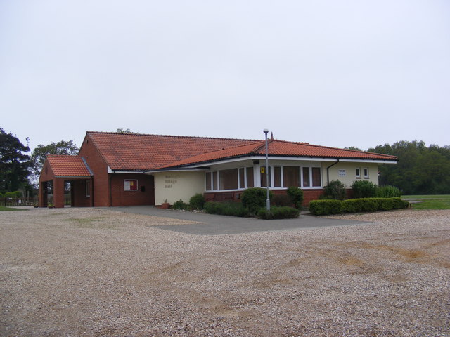
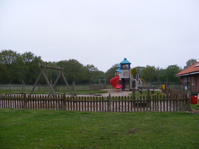
Buxton Heath Images
Images are sourced within 2km of 52.749726/1.2199564 or Grid Reference TG1721. Thanks to Geograph Open Source API. All images are credited.


Buxton Heath is located at Grid Ref: TG1721 (Lat: 52.749726, Lng: 1.2199564)
Administrative County: Norfolk
District: Broadland
Police Authority: Norfolk
What 3 Words
///bikers.unlimited.mass. Near Cawston, Norfolk
Nearby Locations
Related Wikis

Cawston and Marsham Heaths
Cawston and Marsham Heaths is a 116.7-hectare (288-acre) biological Site of Special Scientific Interest north of Norwich in Norfolk. These heaths are dominated...

Haveringland
Haveringland is a village and civil parish in the English county of Norfolk about 8 miles (13 km) north-west of Norwich. It covers an area of 8.91 km2...

St Faith's and Aylsham Rural District
St Faith's and Aylsham Rural Districts were adjacent rural districts in Norfolk, England from 1894 to 1935. They were formed under the Local Government...

Hevingham
Hevingham is a village and civil parish in the Broadland district of the English county of Norfolk. Situated between the A140 road Norwich to Cromer road...
Nearby Amenities
Located within 500m of 52.749726,1.2199564Have you been to Buxton Heath?
Leave your review of Buxton Heath below (or comments, questions and feedback).