Benningham Green
Downs, Moorland in Suffolk Mid Suffolk
England
Benningham Green

Benningham Green is a captivating and picturesque area located in Suffolk, England. Nestled amidst the stunning Suffolk Downs and Moorland, it offers a breathtaking natural setting that attracts both locals and tourists alike.
The area is renowned for its abundant greenery, rolling hills, and expansive moorlands. Benningham Green boasts a diverse ecosystem, with an array of flora and fauna that thrive in its unique environment. The Downs provide ample opportunities for outdoor activities such as hiking, birdwatching, and horseback riding, making it a haven for nature enthusiasts.
The moorland in Benningham Green is a sight to behold, characterized by vast expanses of heather, gorse, and grassland. This habitat supports a variety of wildlife, including rare bird species, rabbits, and deer. It is a paradise for photographers and nature lovers seeking solitude and tranquility.
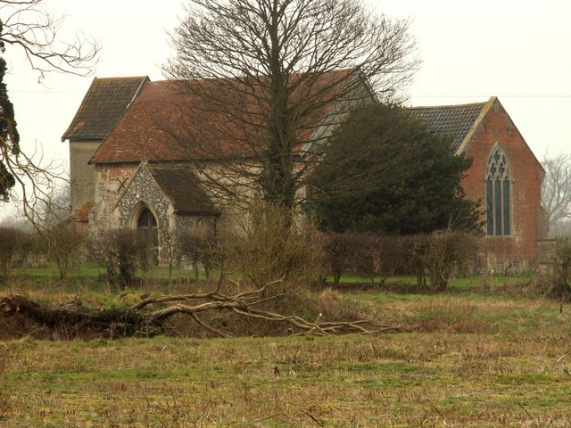
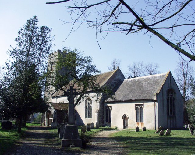
Besides its natural beauty, Benningham Green also has a rich historical heritage. The area is dotted with ancient archaeological sites, including burial mounds and Roman remains. These relics provide a glimpse into the region's past and offer an opportunity for history buffs to delve into the area's fascinating history.
Visitors to Benningham Green can also discover charming villages nearby, where they can explore quaint shops, enjoy traditional pub fare, and immerse themselves in the local culture. With its idyllic scenery and historical significance, Benningham Green is a must-visit destination for anyone seeking a slice of rural England's beauty and charm.
If you have any feedback on the listing, please let us know in the comments section below.
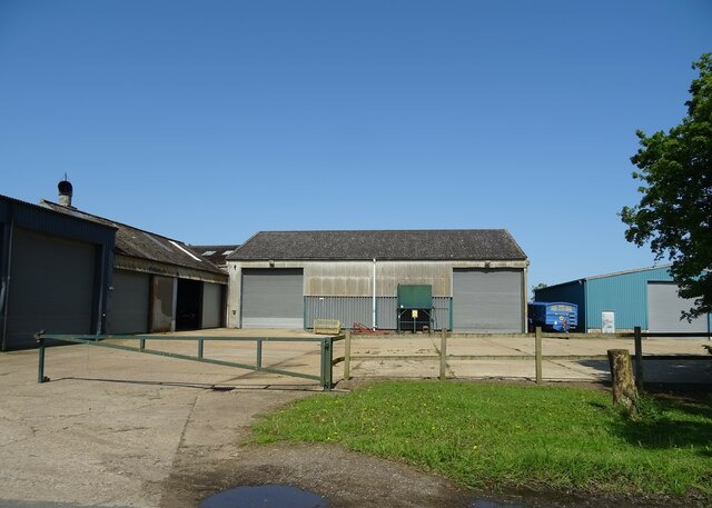
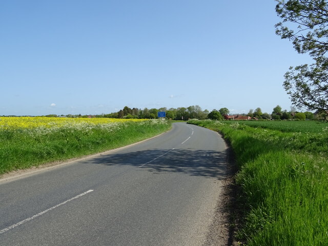
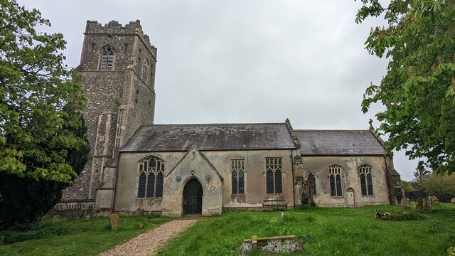
Benningham Green Images
Images are sourced within 2km of 52.290406/1.1804895 or Grid Reference TM1770. Thanks to Geograph Open Source API. All images are credited.


Benningham Green is located at Grid Ref: TM1770 (Lat: 52.290406, Lng: 1.1804895)
Administrative County: Suffolk
District: Mid Suffolk
Police Authority: Suffolk
What 3 Words
///piano.octagonal.sending. Near Stradbroke, Suffolk
Nearby Locations
Related Wikis
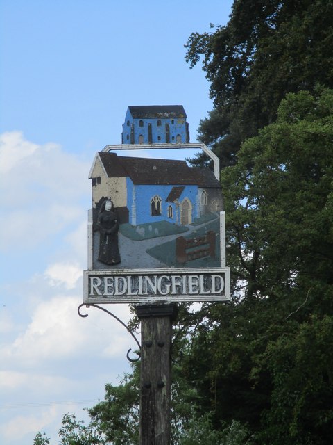
Redlingfield
Redlingfield is a village and civil parish in the Mid Suffolk district of Suffolk in eastern England. Located around six miles south-east of Diss, in 2011...

Rishangles
Rishangles is a village and civil parish in the Mid Suffolk district of Suffolk in eastern England. The place-name 'Rishangles' is first attested in the...

Southolt
Southolt is a village and civil parish in Suffolk, about 4+1⁄2 miles (7 km) southeast of Eye, on the road between Bedingfield and Worlingworth. == History... ==

Occold
Occold is a village in Suffolk, England. Occold is located 2 miles south east from the town of Eye, and 8 miles from the town of Diss. == History == In...

Denham, Mid Suffolk
Denham is a village and civil parish in northern Suffolk. Located approximately 3 miles east of Eye, it is within the district of Mid Suffolk. It shares...
Bedingfield
Bedingfield is a village and civil parish in the Mid Suffolk district of Suffolk, England. Rishangles and Southolt were included in the population at the...

Thorndon, Suffolk
Thorndon is a village and civil parish in the Mid Suffolk district of Suffolk in eastern England. The village is located around three miles south of Eye...

The Pennings, Eye
The Pennings is a 2.7 hectare Local Nature Reserve in Eye in Suffolk. It is owned and managed by Mid Suffolk District Council.This site on the east bank...
Nearby Amenities
Located within 500m of 52.290406,1.1804895Have you been to Benningham Green?
Leave your review of Benningham Green below (or comments, questions and feedback).