Hempstead

Settlement in Norfolk North Norfolk

England

Hempstead

Flowering broom beside the path through Edgefield Woods
Flowering broom beside the path through Edgefield Woods Credit: Evelyn Simak

Hempstead is a small village located in the county of Norfolk, in the eastern part of England. Situated approximately 3 miles south-west of the market town of Holt, Hempstead is nestled amidst the picturesque and rural landscape that characterizes this region.

The village is primarily residential and has a population of around 350 people, making it a close-knit and tight community. The houses in Hempstead mostly consist of traditional Norfolk flint cottages, which add to the village's charming and timeless appeal.

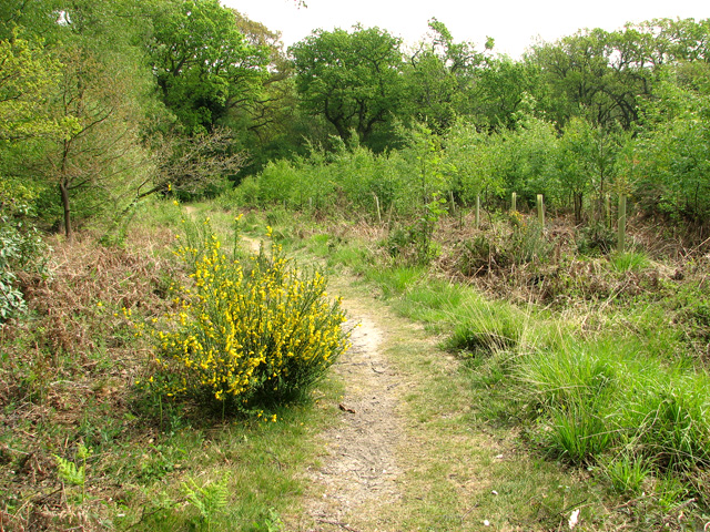
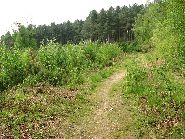
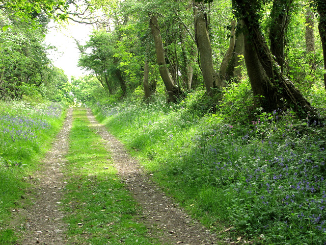
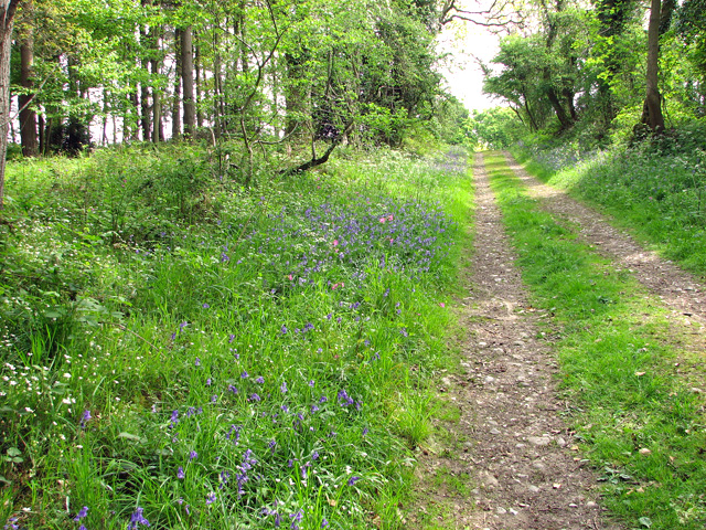
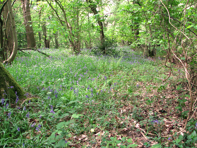
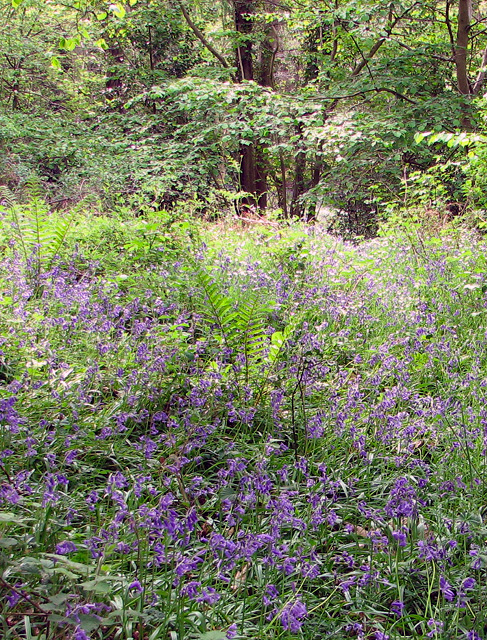
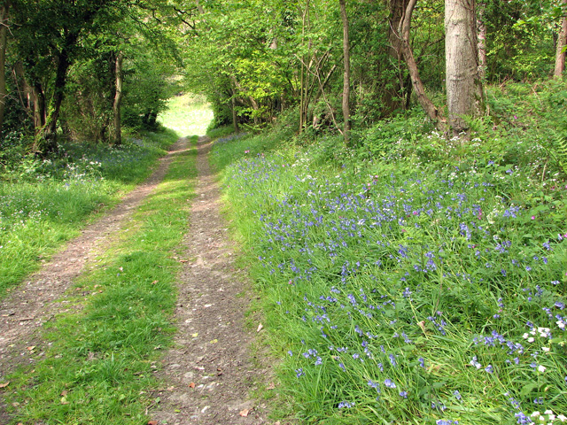
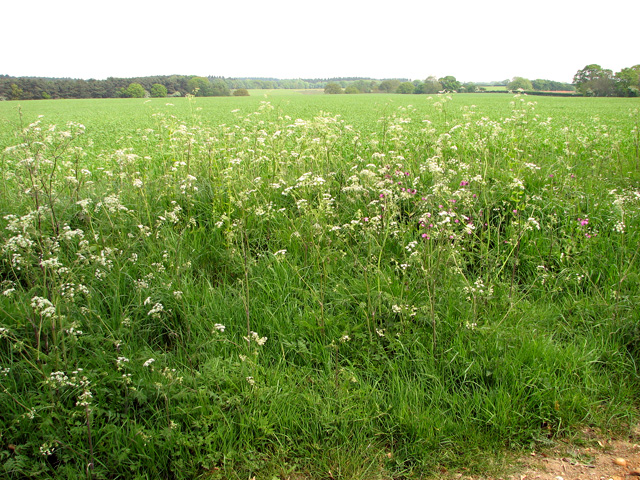
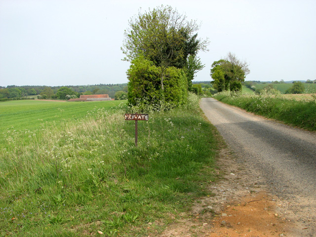
Surrounded by lush countryside, Hempstead offers its residents and visitors ample opportunities for outdoor activities and exploration. The village is surrounded by beautiful fields and woodland, making it an ideal location for nature enthusiasts, hikers, and birdwatchers. Additionally, Hempstead is in close proximity to the Norfolk Coast Area of Outstanding Natural Beauty, allowing for easy access to stunning beaches, salt marshes, and nature reserves.

Although predominantly residential, Hempstead does have a few amenities to cater to the needs of its residents. These include a village hall, a church, and a small primary school. For further amenities, the nearby town of Holt offers a wider range of facilities, including shops, restaurants, and leisure centers.

Overall, Hempstead is a tranquil and idyllic village, perfect for those seeking a peaceful and rural lifestyle amidst the natural beauty of Norfolk's countryside.

If you have any feedback on the listing, please let us know in the comments section below.
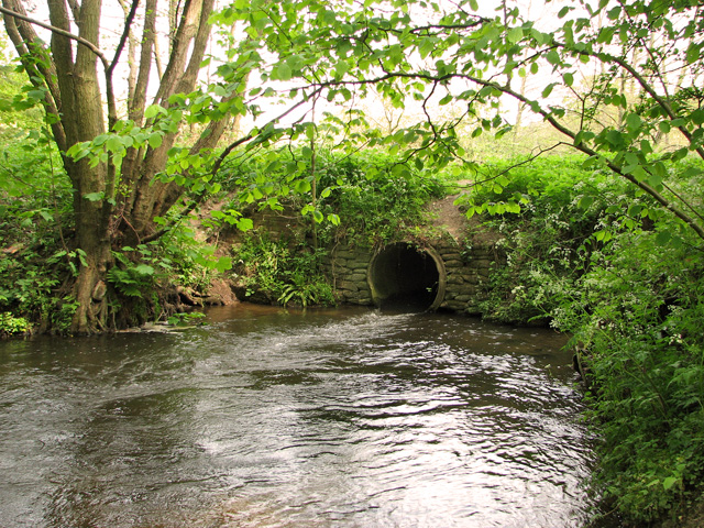
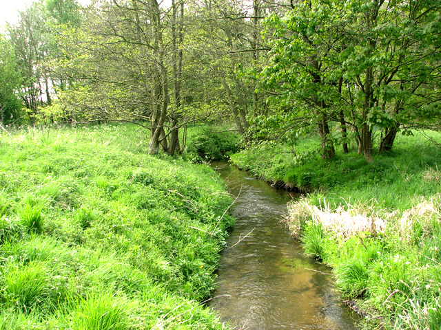
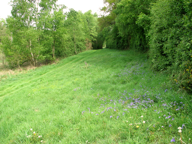
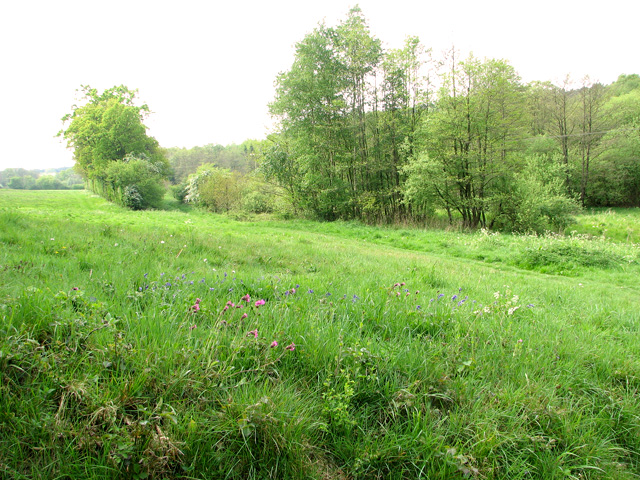
Hempstead Images

Images are sourced within 2km of 52.8895/1.1277645 or Grid Reference TG1037. Thanks to Geograph Open Source API. All images are credited.

Flowering broom beside the path through Edgefield Woods
A stand of young birches in Edgefield Woods
The River Glaven east of Edgefield Woods Edgefield mill used to be situated right beside it (at left, out of shot).
The River Glaven east of Edgefield Woods
Edgefield mill used to be situated right beside it (at left, out of shot).
The site of Edgefield Mill Edgefield mill is a lost watermill on the east bank of the River Glaven.  It was situated at a location locally known as Smokers Hole and adjoined by two single-storey cottages (called Mill Cottages). Older maps mark the site of the cottages as the location of Mill House. The trees seen in this picture are growing on what remains of the walls. During the war a legendary character known as Long Sal lived here.
The site of Edgefield Mill
Edgefield mill is a lost watermill on the east bank of the River Glaven. It was situated at a location locally known as Smokers Hole and adjoined by two single-storey cottages (called Mill Cottages). Older maps mark the site of the cottages as the location of Mill House. The trees seen in this picture are growing on what remains of the walls. During the war a legendary character known as Long Sal lived here.
The site of Edgefield Mill Edgefield mill is a lost watermill on the east bank of the River Glaven. The bridge which now carries a footpath over the river still has some remains of the old brickwork (at left). The mill and adjoining house were situated immediately to the east (right, out of shot) from here. No sign remains of the mill but some of the mill house's/cottages' walls remain > <a title="https://www.geograph.org.uk/photo/2394590" href="https://www.geograph.org.uk/photo/2394590">Link</a> albeit very overgrown.

This location was locally known as Smokers Hole. The mill was adjoined by two single-storey cottages (called Mill Cottages) but older maps mark the site of the cottages as the location of Mill House. During the war a legendary character known as Long Sal lived here.
The site of Edgefield Mill
Edgefield mill is a lost watermill on the east bank of the River Glaven. The bridge which now carries a footpath over the river still has some remains of the old brickwork (at left). The mill and adjoining house were situated immediately to the east (right, out of shot) from here. No sign remains of the mill but some of the mill house's/cottages' walls remain > Link albeit very overgrown. This location was locally known as Smokers Hole. The mill was adjoined by two single-storey cottages (called Mill Cottages) but older maps mark the site of the cottages as the location of Mill House. During the war a legendary character known as Long Sal lived here.
The River Glaven east of Edgefield Woods
Private farm track alongside the River Glaven
The Glaven valley east of Edgefield Woods
Public footpath to Hempstead
Bluebells and cow parsley beside the path to Hempstead
Bluebells beside the path to Hempstead
Bluebells in woodland north of Dam Hill
Track descending to the Glaven valley
Cultivated fields west of Hempstead
Cultivated fields and cow parsley west of Hempstead
Track past flint and brick farm building
Private road to the Hall Marked as 'Hall' on maps, it is now a farm.
Private road to the Hall
Marked as 'Hall' on maps, it is now a farm.
Show me another place!

Hempstead is located at Grid Ref: TG1037 (Lat: 52.8895, Lng: 1.1277645)

Administrative County: Norfolk

District: North Norfolk

Police Authority: Norfolk

What 3 Words

///pushy.wriggle.eliminate. Near Briston, Norfolk

Related Wikis

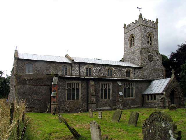
Hempstead, near Holt, Norfolk

There is also a village called Hempstead near Stalham, also in North Norfolk.Hempstead is a village and civil parish in the north of the English county...
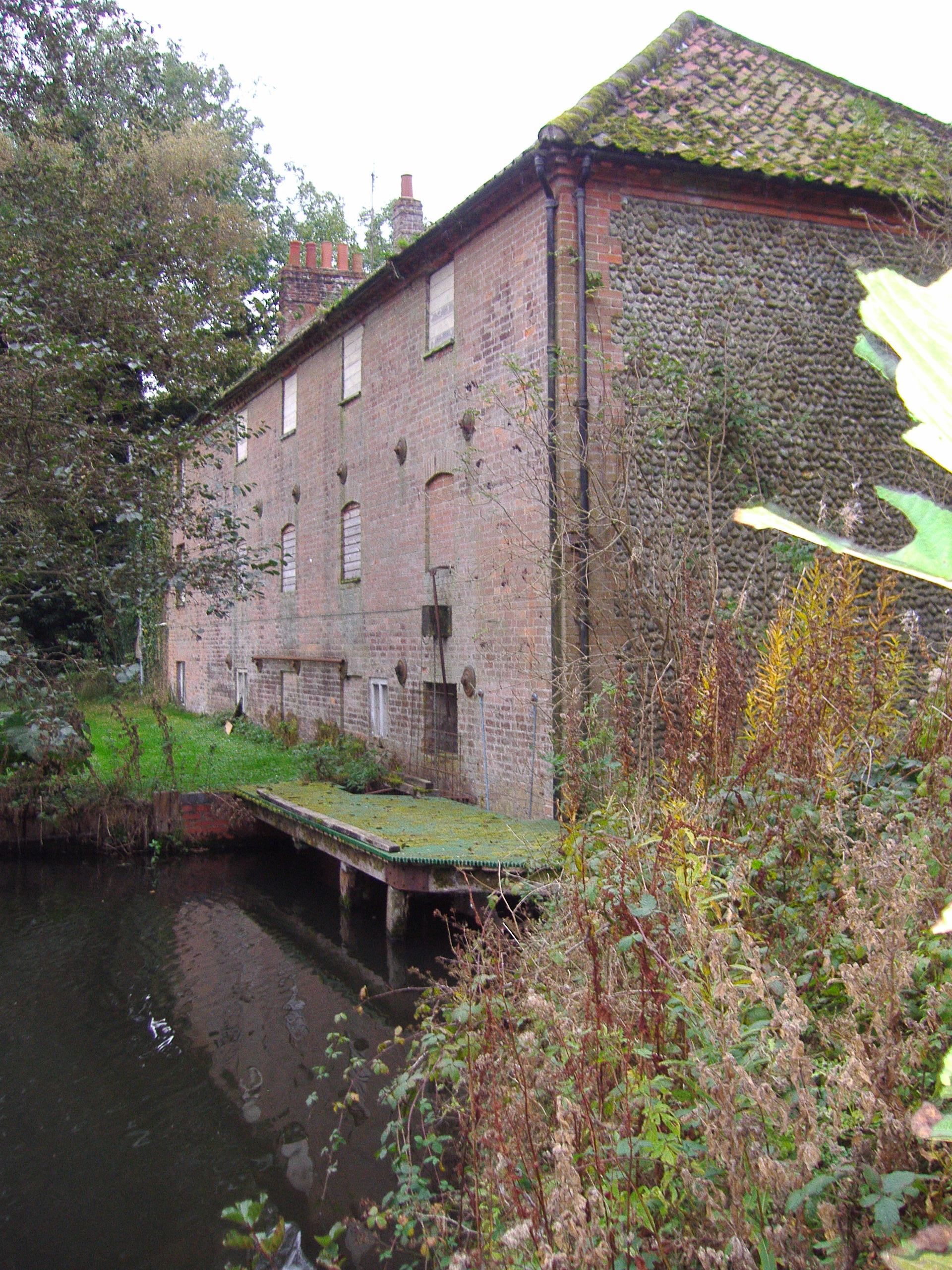
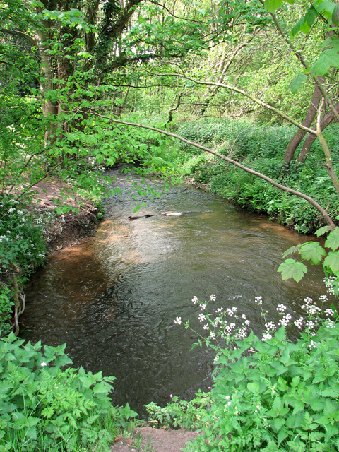
Hempstead Watermill

Hempstead Watermill is a disused watermill 1.7 miles south east of the town of Holt in the English county of Norfolk. The mill stands on the River Glaven...

Baconsthorpe

Baconsthorpe is a village and civil parish in the North Norfolk district of the English county of Norfolk. It is 4 miles (6.4 km) south-east of Holt, 5...
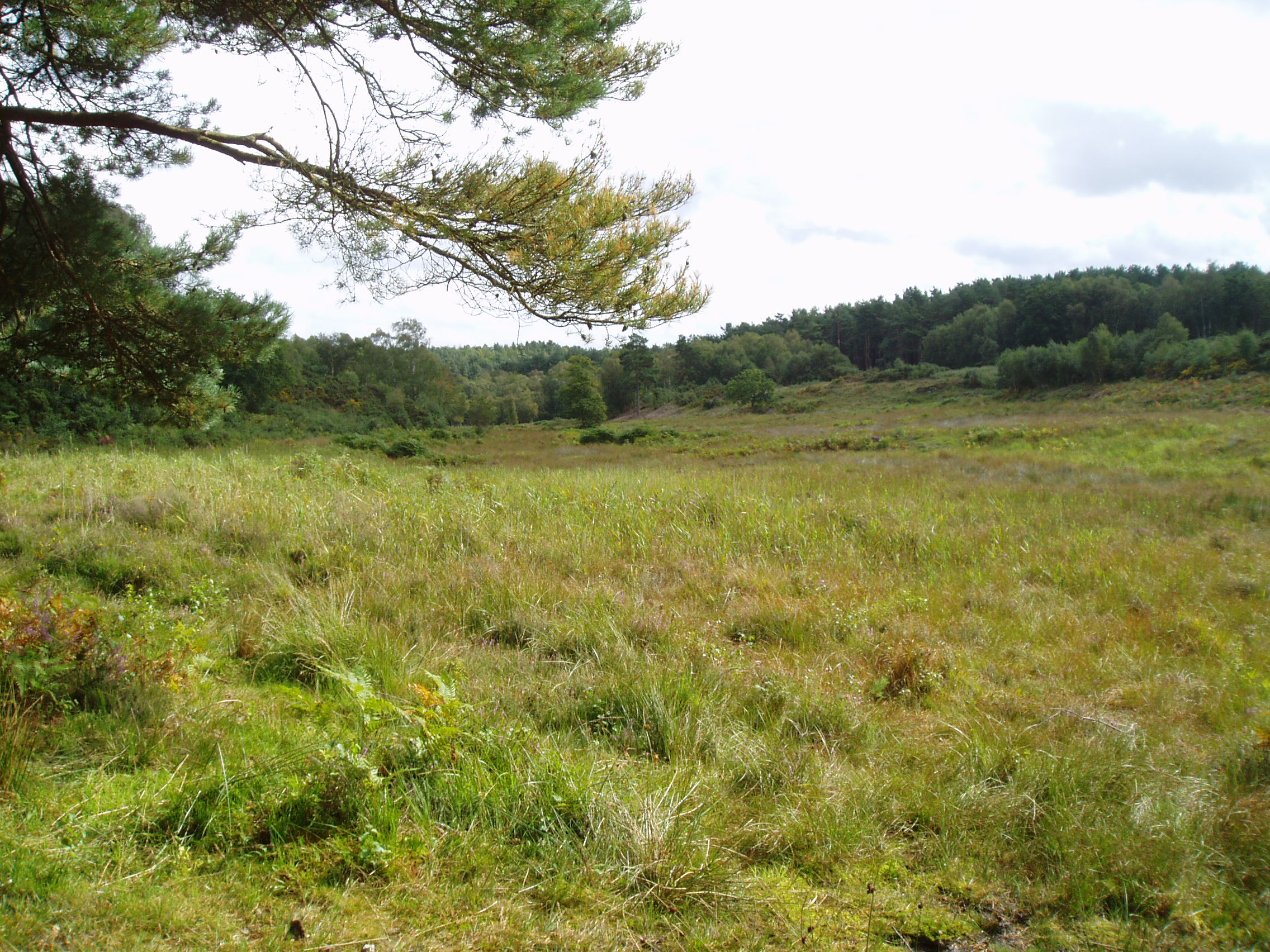
Holt Lowes

Holt Lowes is a 49.9-hectare (123-acre) biological Site of Special Scientific Interest west of Cromer in Norfolk. It is a Nature Conservation Review site...
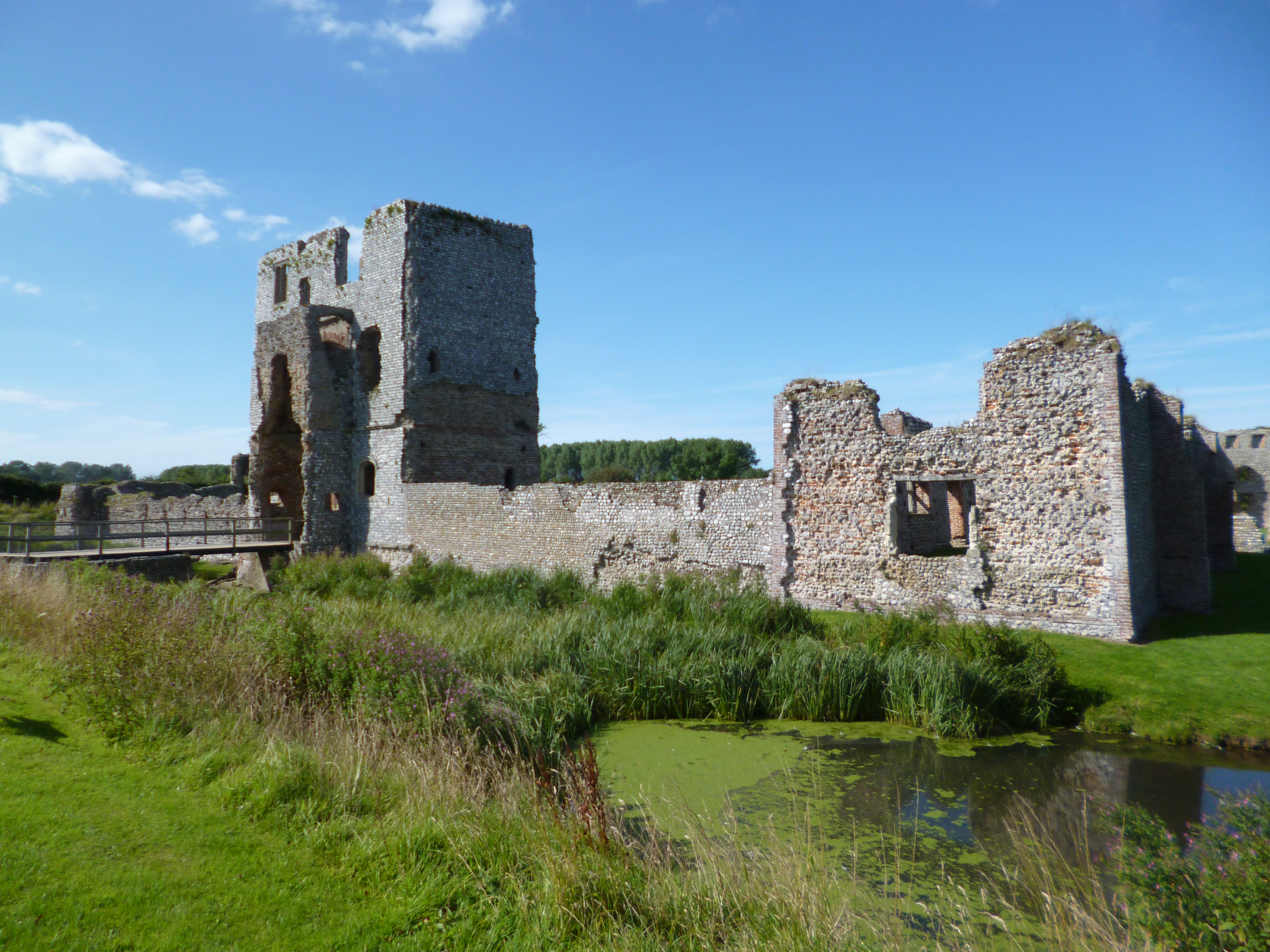
Baconsthorpe Castle

Baconsthorpe Castle, historically known as Baconsthorpe Hall, is a ruined, fortified manor house near the village of Baconsthorpe, Norfolk, England. It...
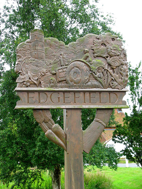
Edgefield, Norfolk

Edgefield is a village and a civil parish in the English county of Norfolk. The village is located 3.3 miles (5.3 km) south of Holt, 3.3 miles (5.3 km...

Farfield

Farfield is one of the seven boarding houses at Gresham's, an English public school at Holt, Norfolk. Farfield is currently home to approximately fifty...

Holt railway station

Holt railway station was a railway station that served the town of Holt in Norfolk, England. It was part of the Midland and Great Northern Joint Railway...

Nearby Amenities

Located within 500m of 52.8895,1.1277645
Bus Stop
The Street, adj
Bench: yes
Bus: yes
Naptan AtcoCode: 2900H194
Naptan Bearing: S
Naptan CommonName: The Street
Naptan Indicator: adj
Naptan Landmark: Yew Cottage
Naptan Locality: Hempstead
Naptan NaptanCode: nfoawdwd
Naptan ShortCommonName: The Street
Naptan Street: The Street
Naptan Verified: no
Public Transport: platform
Shelter: yes
Source: naptan_import
Lat/Long: 52.8899353/1.1281799
Bus Stop
The Street, opp
Bus: yes
Naptan AtcoCode: 2900H195
Naptan Bearing: N
Naptan BusStopType: CUS
Naptan CommonName: The Street
Naptan Indicator: opp
Naptan Landmark: Yew Cottage
Naptan Locality: Hempstead
Naptan NaptanCode: nfoawdwg
Naptan ShortCommonName: The Street
Naptan Street: The Street
Naptan Verified: no
Public Transport: platform
Source: naptan_import
Lat/Long: 52.889989/1.1280909
Entrance: main
Lat/Long: 52.8895474/1.1270315
Bench
Backrest: yes
Inscription: yes
Material: wood
Lat/Long: 52.889527/1.1269771
Entrance: yes
Lat/Long: 52.8896589/1.1269118
Power: pole
Lat/Long: 52.8889537/1.1305443
Power: pole
Lat/Long: 52.8884531/1.1305476
Power: pole
Lat/Long: 52.8885803/1.1317577
Power: pole
Lat/Long: 52.8887036/1.1331021
Power: pole
Lat/Long: 52.8888159/1.1343466
Power: pole
Lat/Long: 52.8927797/1.1240467
Power: pole
Lat/Long: 52.891336/1.1221465
Power: pole
Lat/Long: 52.8914988/1.1235356
Power: pole
Lat/Long: 52.8922125/1.1234718
Post Box
Operator: Royal Mail
Operator Wikidata: Q638098
Post Box Mounting: pier
Post Box Type: lamp
Royal Cypher: EIIR
Royal Cypher Wikidata: Q33102113
Lat/Long: 52.8901125/1.1283151
Barrier: stile
Bicycle: no
Foot: yes
Material: wood
Stile: stepover
Lat/Long: 52.8879096/1.1299687
Defibrillator
Access: yes
Booth: K6
Covered: booth
Defibrillator Location: inside old red phone box, Hempstead
Description: Old Red Phone Box
Disused Amenity: telephone
Emergency: defibrillator
Man Made: telephone_box
Lat/Long: 52.8900883/1.1282963
Bench
Backrest: yes
Material: wood
Seats: 3
Lat/Long: 52.8902381/1.1284374
Crossing
Lat/Long: 52.8929879/1.128313
Bench
Lat/Long: 52.8898156/1.128105
Waste Basket
Lat/Long: 52.8902519/1.1284454
Man Made: silo
Lat/Long: 52.8901411/1.126622
Man Made: silo
Lat/Long: 52.8898779/1.1262843
Man Made: silo
Lat/Long: 52.8900122/1.1262238
Power: pole
Lat/Long: 52.8914693/1.1295674
Power: pole
Lat/Long: 52.8921325/1.1289061
Power: pole
Lat/Long: 52.89018/1.1303605
Power: pole
Lat/Long: 52.890775/1.1301934
Power: pole
Lat/Long: 52.8928075/1.1282527
Man Made: street_cabinet
Type: telecom
Lat/Long: 52.892796/1.1238081
Man Made: silo
Lat/Long: 52.892913/1.125023
Green Farm
Place: farm
Lat/Long: 52.8926617/1.124516
Hempstead
Is In: Norfolk, UK
Place: village
Source: npe
Lat/Long: 52.8903552/1.1284588
Power: pole
Lat/Long: 52.8894835/1.1305182
Pinewood Poultry Farm
Place: farm
Lat/Long: 52.8899539/1.1263087
Natural: tree_stump
Lat/Long: 52.8903517/1.1284965
The data included in this document is from www.openstreetmap.org. The data is made available under ODbL.

Have you been to Hempstead?

Leave your review of Hempstead below (or comments, questions and feedback).