Pound Plantation

Downs, Moorland in Norfolk North Norfolk

England

Pound Plantation

Path through the cow parsley A narrow path has been cut through the cow parsley in the old Edgefield church's churchyard.
Path through the cow parsley Credit: Evelyn Simak

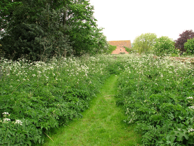
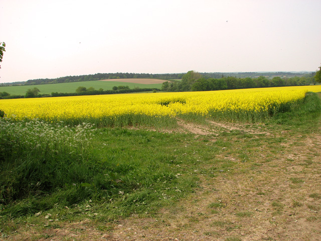
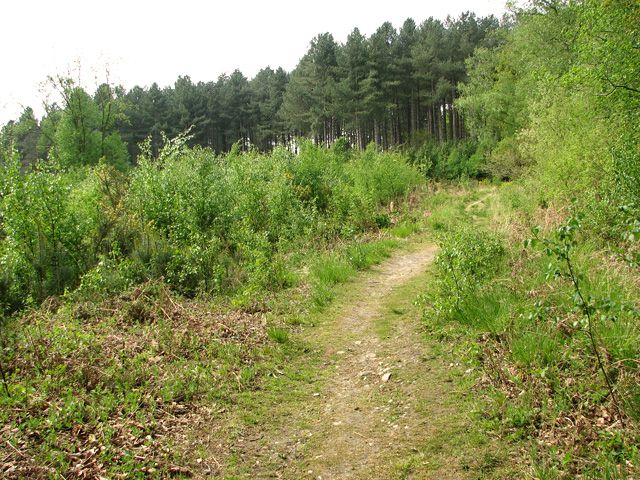
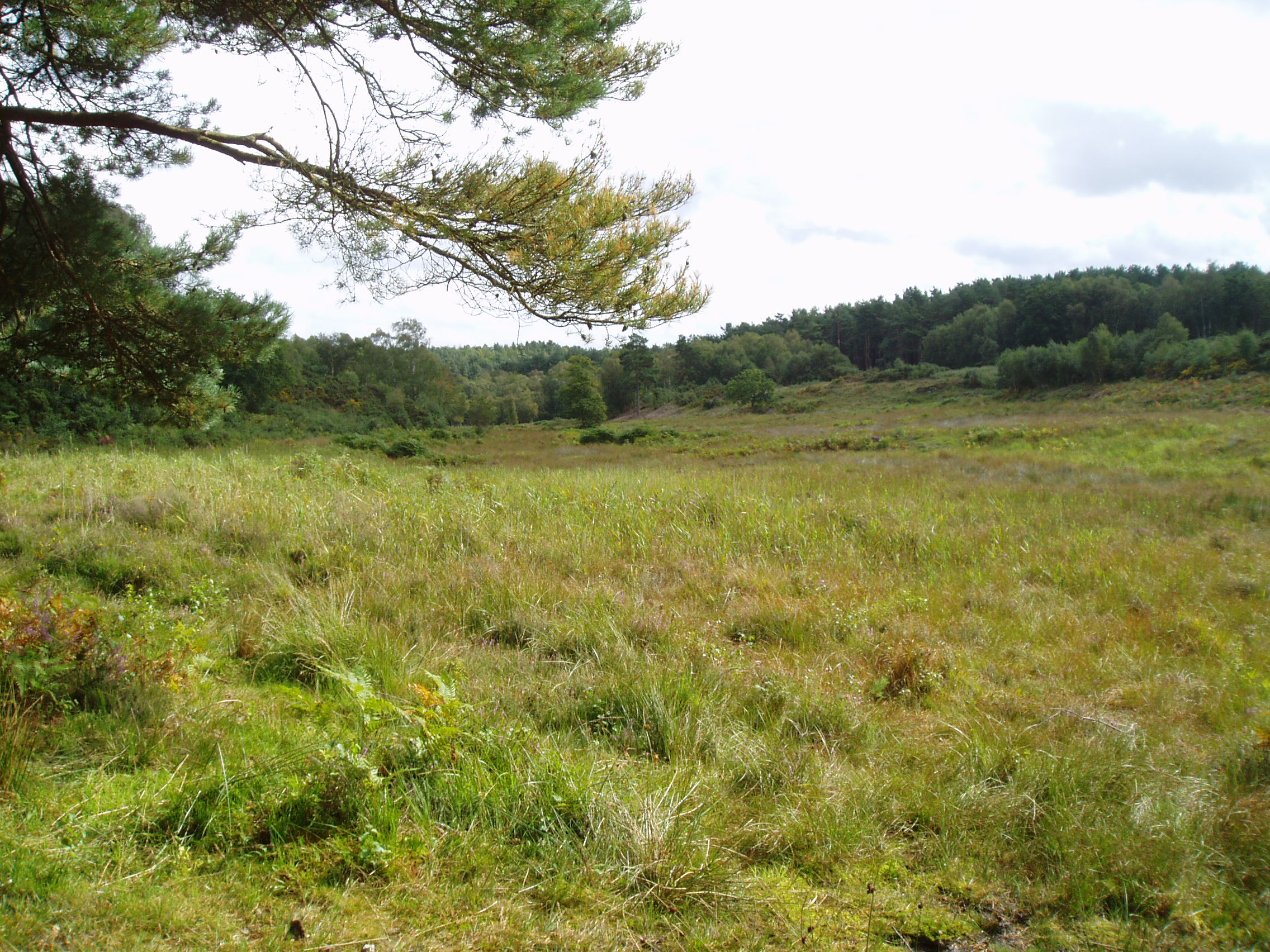
Pound Plantation is a picturesque woodland area located in Norfolk, England. Situated in the Downs and Moorland region, it spans over a vast expanse of approximately 200 acres. The plantation is known for its diverse range of flora and fauna, making it a popular spot for nature enthusiasts and hikers.

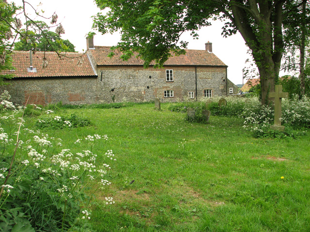
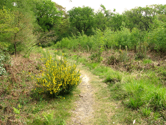
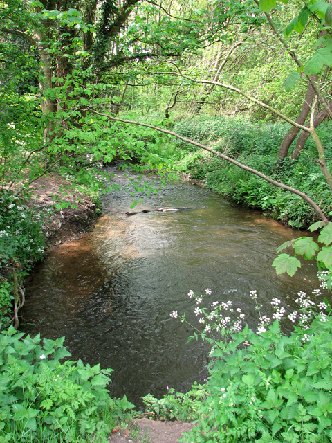
The woodland is predominantly comprised of ancient oak and beech trees, creating a dense canopy that provides shelter and habitat for a variety of wildlife. Visitors can expect to see an array of bird species, including woodpeckers, owls, and various songbirds. Additionally, the plantation is home to mammals such as deer, foxes, and rabbits, which can often be spotted in the early morning or late evening hours.

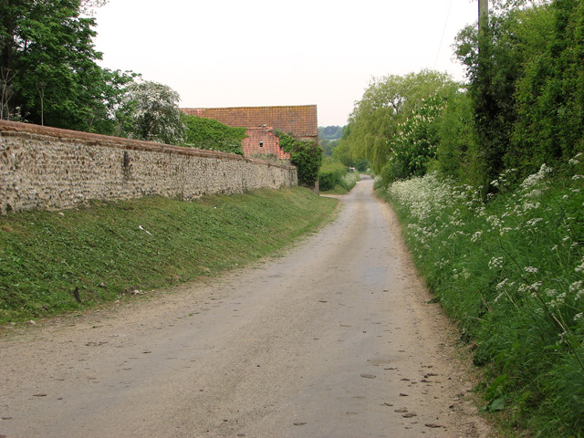
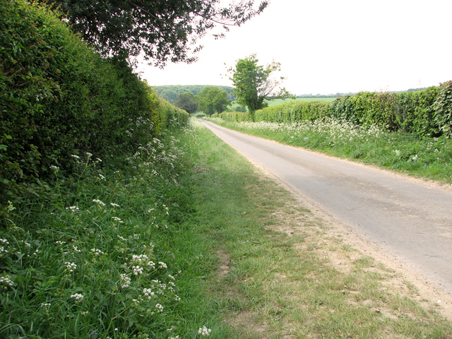
The plantation features several well-marked trails that wind through the woodland, allowing visitors to explore its natural beauty at their own pace. These trails range in difficulty, catering to both casual strollers and more experienced hikers. Along the way, walkers will encounter breathtaking views of the surrounding countryside, with rolling hills and meandering streams adding to the charm of the area.

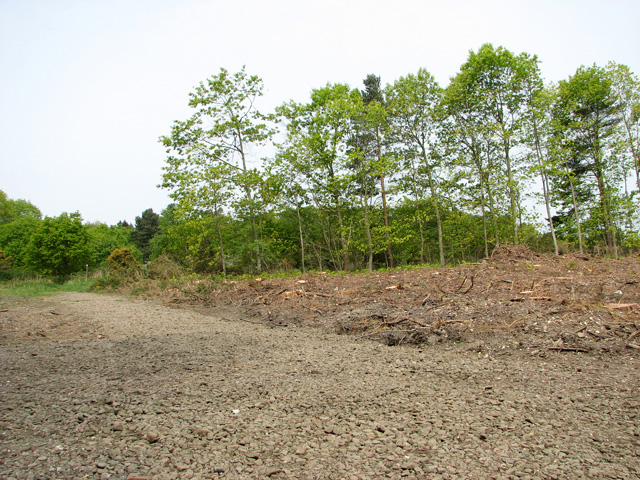
Pound Plantation is also a designated nature reserve, ensuring the protection and conservation of its unique ecosystem. The woodland is carefully managed by local authorities, who work to maintain a healthy balance between human activity and the preservation of its natural heritage.

Overall, Pound Plantation in Norfolk is a tranquil haven for nature lovers, offering a serene escape from the hustle and bustle of everyday life. Its diverse wildlife, stunning landscapes, and well-maintained trails make it an ideal destination for those seeking a peaceful and immersive outdoor experience.

If you have any feedback on the listing, please let us know in the comments section below.

Pound Plantation Images

Images are sourced within 2km of 52.880648/1.0980799 or Grid Reference TG0835. Thanks to Geograph Open Source API. All images are credited.

Path through the cow parsley A narrow path has been cut through the cow parsley in the old Edgefield church's churchyard.
Path through the cow parsley
A narrow path has been cut through the cow parsley in the old Edgefield church's churchyard.
View towards Mount Farm
To Starlings' Hill past The Mount
Old brick outbuilding, Edgefield
Old well and waterpumps, Edgefield
17th century house, Edgefield For more detailed information please read: <span class="nowrap"><a title="http://www.britishlistedbuildings.co.uk/en-224046-the-mount-edgefield" rel="nofollow ugc noopener" href="http://www.britishlistedbuildings.co.uk/en-224046-the-mount-edgefield">Link</a><img style="margin-left:2px;" alt="External link" title="External link - shift click to open in new window" src="https://s1.geograph.org.uk/img/external.png" width="10" height="10"/></span>
17th century house, Edgefield
For more detailed information please read: LinkExternal link
17th century house, Edgefield See also: <a title="https://www.geograph.org.uk/photo/2394513" href="https://www.geograph.org.uk/photo/2394513">Link</a>. For more detailed information please read: <span class="nowrap"><a title="http://www.britishlistedbuildings.co.uk/en-224046-the-mount-edgefield" rel="nofollow ugc noopener" href="http://www.britishlistedbuildings.co.uk/en-224046-the-mount-edgefield">Link</a><img style="margin-left:2px;" alt="External link" title="External link - shift click to open in new window" src="https://s1.geograph.org.uk/img/external.png" width="10" height="10"/></span>
17th century house, Edgefield
See also: Link. For more detailed information please read: LinkExternal link
Old doorknocker on 17th century house For a view of the house see > <a title="https://www.geograph.org.uk/photo/2394513" href="https://www.geograph.org.uk/photo/2394513">Link</a>.
Old doorknocker on 17th century house
For a view of the house see > Link.
View from Bunker's Hill, Edgefield
Wildlife conservation area on Bunker's Hill, Edgefield
Country lane by Bunker's Hill, Edgefield
A clearing in Edgefield Woods
Public footpath through Edgefield Woods
Path descending into the Glaven valley
Track through Edgefield Woods
Flowering broom beside the path through Edgefield Woods
A stand of young birches in Edgefield Woods
The River Glaven east of Edgefield Woods Edgefield mill used to be situated right beside it (at left, out of shot).
The River Glaven east of Edgefield Woods
Edgefield mill used to be situated right beside it (at left, out of shot).
Show me another place!

Pound Plantation is located at Grid Ref: TG0835 (Lat: 52.880648, Lng: 1.0980799)

Administrative County: Norfolk

District: North Norfolk

Police Authority: Norfolk

What 3 Words

///villager.ruffling.lightens. Near Briston, Norfolk

Related Wikis

Holt Lowes

Holt Lowes is a 49.9-hectare (123-acre) biological Site of Special Scientific Interest west of Cromer in Norfolk. It is a Nature Conservation Review site...

Edgefield, Norfolk

Edgefield is a village and a civil parish in the English county of Norfolk. The village is located 3.3 miles (5.3 km) south of Holt, 3.3 miles (5.3 km...

Hunworth

Hunworth is a village and former civil parish, now in the parish of Stody, in the North Norfolk district, in the county of Norfolk, England. The village...

St Lawrence Parish Church, Hunworth

St Lawrence Parish Church is a Grade II* listed building in the village of Hunworth in Norfolk, England. The church is dedicated to Saint Lawrence who...

Nearby Amenities

Located within 500m of 52.880648,1.0980799
Power: pole
Lat/Long: 52.8821201/1.0925764
Power: pole
Lat/Long: 52.8826923/1.093951
Power: pole
Lat/Long: 52.8832814/1.0953793
Power: pole
Lat/Long: 52.883763/1.0965581
Power: pole
Lat/Long: 52.8842339/1.0977048
Power: pole
Lat/Long: 52.8847794/1.0990137
The data included in this document is from www.openstreetmap.org. The data is made available under ODbL.

Have you been to Pound Plantation?

Leave your review of Pound Plantation below (or comments, questions and feedback).