Hay Fen
Downs, Moorland in Norfolk Breckland
England
Hay Fen

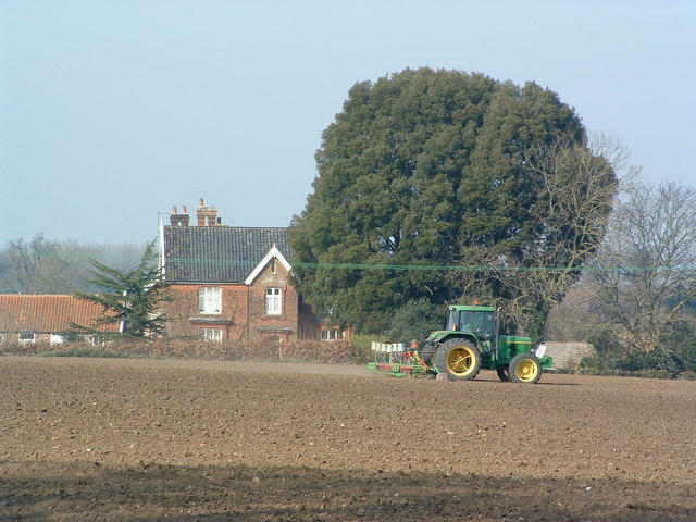
Hay Fen is a picturesque rural area located in Norfolk, England. It is characterized by its stunning downs and moorland landscapes, making it a popular destination for nature enthusiasts and hikers. The fen is situated in the southern part of the county, near the village of Hay, and covers a vast area of approximately 200 hectares.
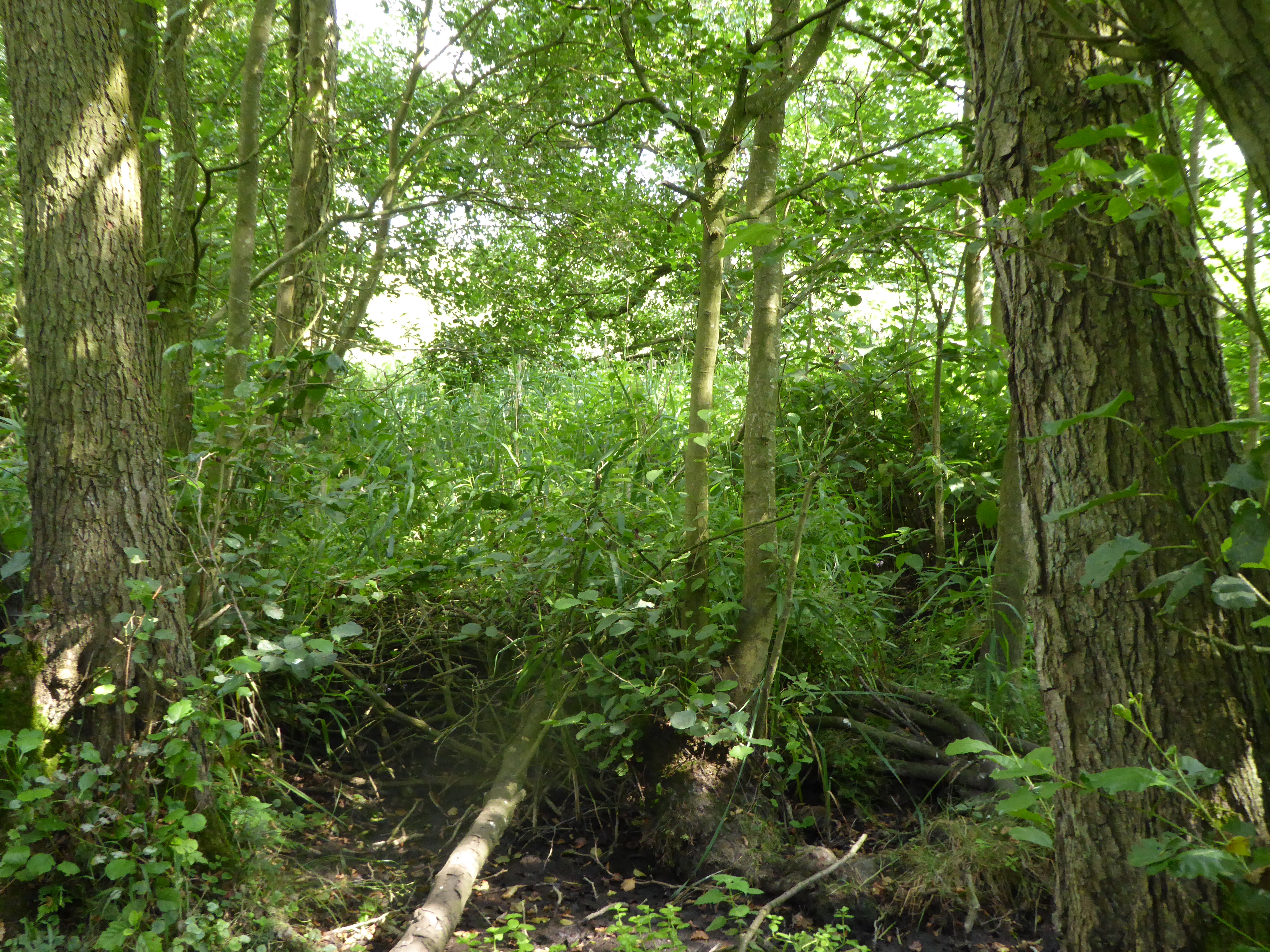
The downs in Hay Fen are rolling hills covered with lush green grass, offering breathtaking views of the surrounding countryside. These hills are a result of glacial activity during the last Ice Age, which shaped the landscape into a series of gentle slopes. The moorland, on the other hand, consists of open expanses of wet, boggy terrain, dotted with heather and other hardy plants.
The area is home to a diverse range of flora and fauna, including several species of wildflowers, birds, and small mammals. It provides important habitats for various species, including rare and endangered ones. The fen is also known for its rich archaeological history, with evidence of human activity dating back thousands of years.
Visitors to Hay Fen can enjoy a range of activities, such as hiking, birdwatching, and photography. There are well-maintained footpaths and trails that allow visitors to explore the area and take in its natural beauty. The fen also offers a peaceful and serene environment, making it an ideal place for relaxation and contemplation.
Overall, Hay Fen in Norfolk is a captivating and ecologically significant area, offering visitors a chance to immerse themselves in the beauty of nature and experience the tranquility of the countryside.
If you have any feedback on the listing, please let us know in the comments section below.
Hay Fen Images
Images are sourced within 2km of 52.456354/0.99857299 or Grid Reference TM0388. Thanks to Geograph Open Source API. All images are credited.


Hay Fen is located at Grid Ref: TM0388 (Lat: 52.456354, Lng: 0.99857299)
Administrative County: Norfolk
District: Breckland
Police Authority: Norfolk
What 3 Words
///lashed.testers.radiated. Near Banham, Norfolk
Nearby Locations
Related Wikis
Kenninghall and Banham Fens with Quidenham Mere
Kenninghall and Banham Fens with Quidenham Mere is a 48.4-hectare (120-acre) biological Site of Special Scientific Interest west of Banham, in Norfolk...

Quidenham Hall
Quidenham Hall is a country house at Quidenham in Norfolk, England. == History == A dwelling is known to have existed on the site as far back as the year...

Quidenham
Quidenham is a small rural village and civil parish in the English county of Norfolk. It covers an area of 22.51 km2 (8.69 sq mi) and had a population...

Wilby, Norfolk
Wilby is a village and former civil parish, 17 miles (27 km) south west of Norwich, now in the parish of Quidenham, in the Breckland district, in the county...
Kenninghall
Kenninghall is a village and civil parish in Norfolk, England, with an area of 5.73 sq mi (14.8 km2) and a population of 950 at the 2011 census. It falls...
Banham Zoo
Banham Zoological Gardens is a 50-acre (20 ha) zoo in Banham, Norfolk, England. The zoo itself, which today is home to more than 2,000 animals, opened...

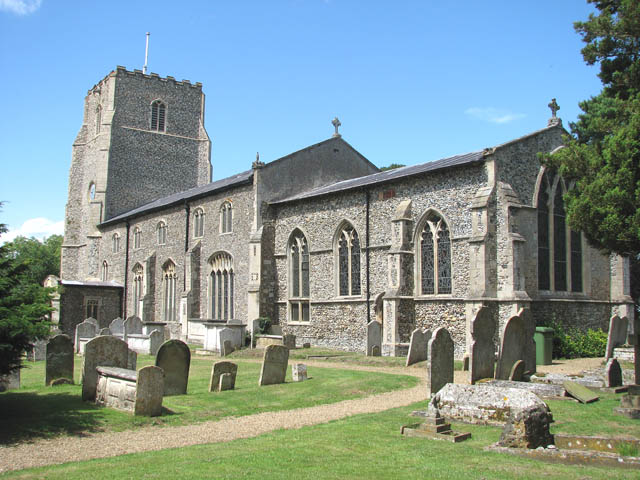
St Mary the Virgin, Banham
St Mary the Virgin Church, Banham is a Grade I listed Church of England parish church in Banham, Norfolk.The basic material of the building is the natural...
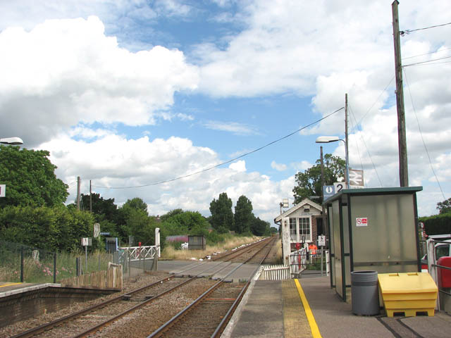
Eccles Road railway station
Eccles Road railway station is on the Breckland line in the east of England, serving the villages of Eccles, Quidenham and Wilby in Norfolk. The line runs...
Nearby Amenities
Located within 500m of 52.456354,0.99857299Have you been to Hay Fen?
Leave your review of Hay Fen below (or comments, questions and feedback).