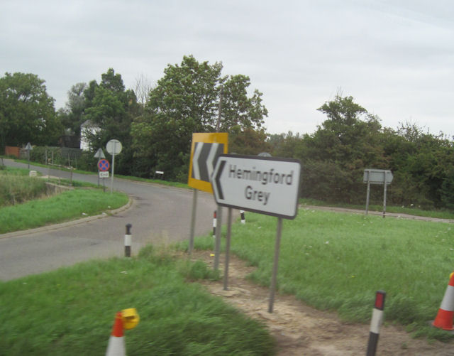
Hemingford Grey

Settlement in Huntingdonshire Huntingdonshire

England

Hemingford Grey

View towards the A1307 south of Hemingford Abbots
View towards the A1307 south of Hemingford Abbots Credit: Christopher Hilton

Hemingford Grey is a picturesque village located in the district of Huntingdonshire, Cambridgeshire, England. Situated on the banks of the River Great Ouse, this historic village offers a serene and idyllic setting for its residents and visitors alike.

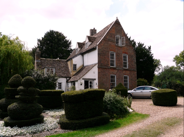
The village is renowned for its beautiful medieval buildings, including the striking Hemingford Grey Manor House. This impressive manor, dating back to the 12th century, is famous for its association with Lucy M. Boston, a renowned English author. The manor has been meticulously preserved and is now open to the public, allowing visitors to explore its rich history and stunning gardens.

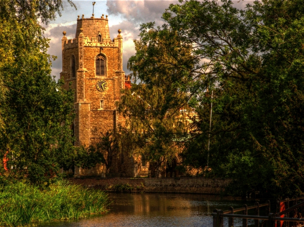
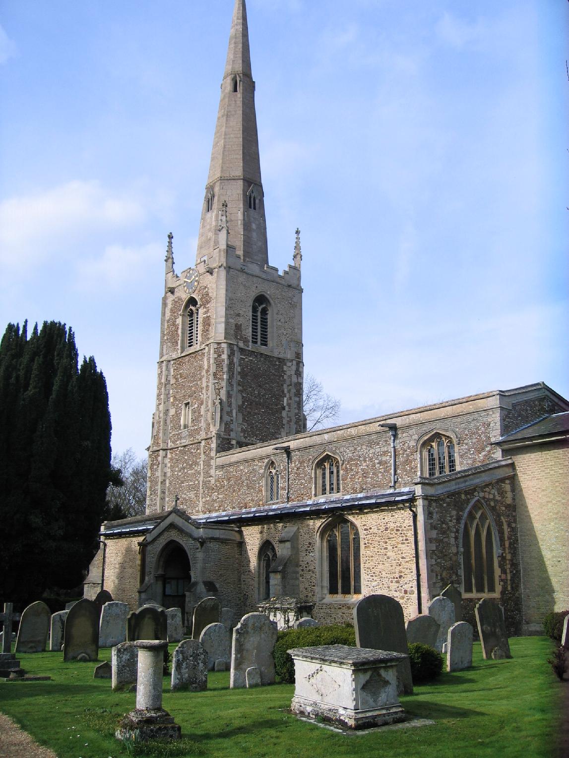
The village also boasts a charming parish church, St. James Church, which dates back to the 13th century. This picturesque church features intricate stained glass windows and a peaceful atmosphere, making it a popular venue for weddings and other special occasions.

In addition to its historic attractions, Hemingford Grey offers a range of amenities to its residents. The village has a primary school, local shops, a post office, and several cozy pubs and restaurants serving delicious food and beverages.

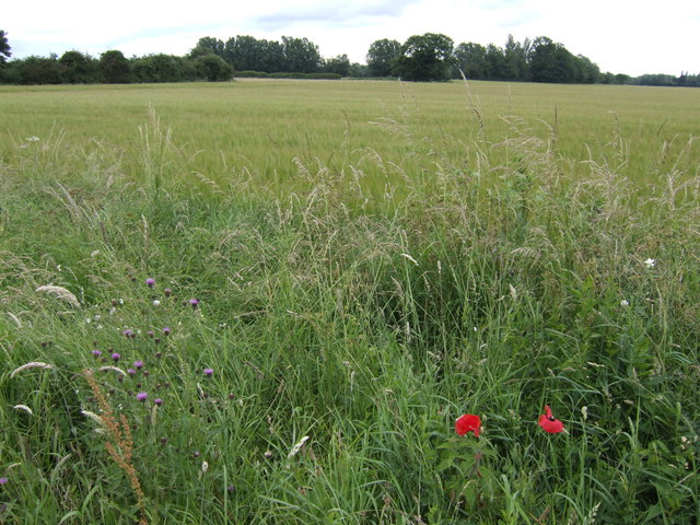
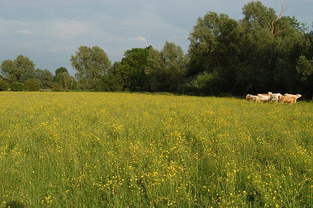
The surrounding countryside provides ample opportunities for outdoor activities, such as walking, cycling, and boating. The nearby Hemingford Meadows Nature Reserve is a haven for wildlife enthusiasts, offering a chance to spot various bird species and enjoy the tranquility of nature.

Overall, Hemingford Grey is a delightful village that seamlessly blends its rich history with modern amenities, making it an attractive destination for both residents and visitors seeking a peaceful and picturesque English countryside experience.

If you have any feedback on the listing, please let us know in the comments section below.

Hemingford Grey Images

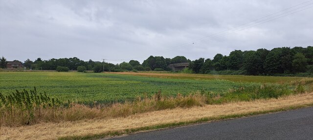
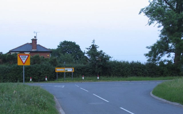
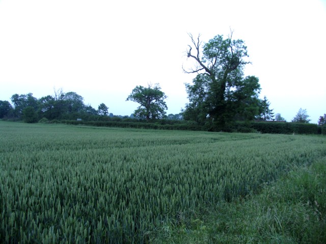
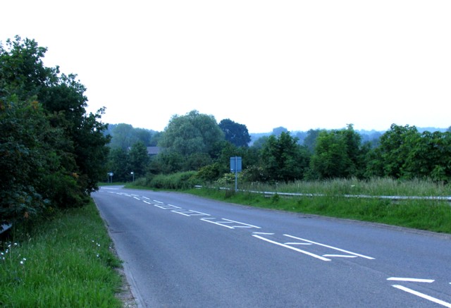
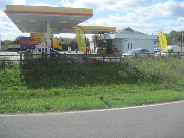
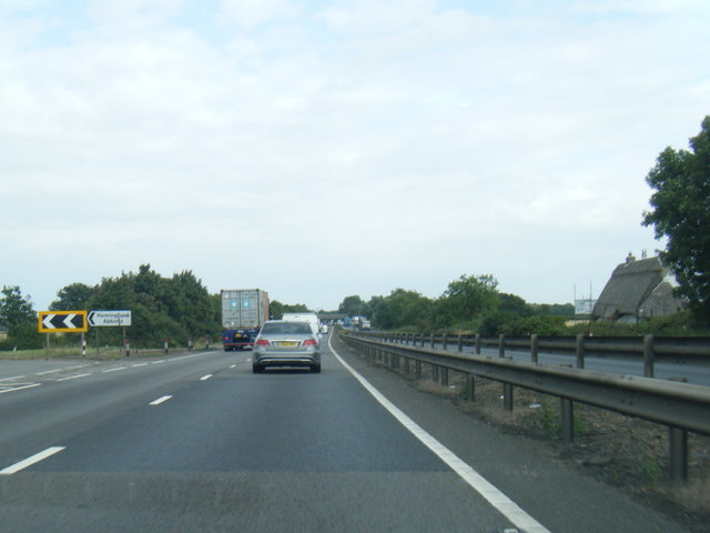
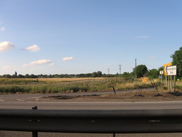
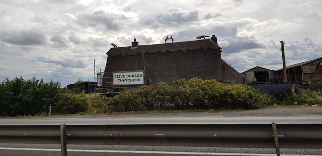
Images are sourced within 2km of 52.318184/-0.101705 or Grid Reference TL2970. Thanks to Geograph Open Source API. All images are credited.

View towards the A1307 south of Hemingford Abbots
Junction with New Road
Field alongside New Road
Rideaway from the A14 overbridge
Barley field Between Hemingford Grey and the A14. Galley Hill Farm is in amongst the trees in the distance.
Barley field
Between Hemingford Grey and the A14. Galley Hill Farm is in amongst the trees in the distance.
Old Milestone Old milestone near to Hemingford Abbots, Cambridgeshire. For overall view see <a title="https://www.geograph.org.uk/photo/1461091" href="https://www.geograph.org.uk/photo/1461091">Link</a>
Old Milestone
Old milestone near to Hemingford Abbots, Cambridgeshire. For overall view see Link
Old Milestone Old milestone near to Hemingford Abbots, Cambridgeshire. For close up view see <a title="https://www.geograph.org.uk/photo/1461085" href="https://www.geograph.org.uk/photo/1461085">Link</a>
Old Milestone
Old milestone near to Hemingford Abbots, Cambridgeshire. For close up view see Link
The busy A14 trunk road Consultation is currently (late 2009) taking place to widen the A14 between Ellington and Fen Ditton.
The busy A14 trunk road
Consultation is currently (late 2009) taking place to widen the A14 between Ellington and Fen Ditton.
Turn off for Hemingford Grey from A14
A14 Hemingford Abbots services
A14 turn near Gore Tree Farm
A14 eastbound near The Grove
A14 westbound
A14 westbound
Looking north from A14
A14 westbound
A14 westbound
Looking north from A14
A14 roadside A line of willows, a broken fence and a ditch separate the busy A14 from low lying fields.
A14 roadside
A line of willows, a broken fence and a ditch separate the busy A14 from low lying fields.
Thatch Craftsmanship at Rectory Farm Appreciation of this beautiful thatched roof is somewhat marred by the cottage's position right next to the A14, which is a murderously busy dual carriageway (on the line of a Roman Road). This section of the A14 will soon be bypassed and hopefully the existing road will become a lot quieter.
Thatch Craftsmanship at Rectory Farm
Appreciation of this beautiful thatched roof is somewhat marred by the cottage's position right next to the A14, which is a murderously busy dual carriageway (on the line of a Roman Road). This section of the A14 will soon be bypassed and hopefully the existing road will become a lot quieter.
Show me another place!

Hemingford Grey is located at Grid Ref: TL2970 (Lat: 52.318184, Lng: -0.101705)

Administrative County: Cambridgeshire

District: Huntingdonshire

Police Authority: Cambridgeshire

What 3 Words

///recitals.embarks.dare. Near Hemingford Grey, Cambridgeshire

Nearby Locations

Hemingford Grey

Related Wikis

Hemingford Grey

Hemingford Grey is a village and civil parish in Cambridgeshire, England. Hemingford Grey lies approximately 4 miles (6 km) east of Huntingdon. Hemingford...
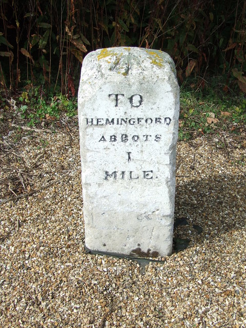
Hemingford Abbots

Hemingford Abbots is a village and civil parish in Cambridgeshire, England. Hemingford Abbots lies approximately 3 miles (5 km) east of Huntingdon, and...

The Manor (Cambridgeshire)

The Manor is a house in the village of Hemingford Grey, Cambridgeshire. It was built in the 1130s and is one of the oldest continuously inhabited houses...

Houghton Meadows

Houghton Meadows is a 4.7-hectare (12-acre) biological Site of Special Scientific Interest (SSSI) between Houghton and St Ives in Cambridgeshire. The SSSI...

Nearby Amenities

Located within 500m of 52.318184,-0.101705
Public Building
St James Parish Centre
Lat/Long: 52.3185664/-0.1032392
Turning Circle
Lat/Long: 52.3141815/-0.1028362
Turning Circle
Lat/Long: 52.316896/-0.102448
Turning Circle
Lat/Long: 52.3157823/-0.1042504
Post Box
Lat/Long: 52.3149033/-0.100062
Post Box
Lat/Long: 52.317697/-0.0979828
Budgens
Addr Housenumber: 14
Addr Postcode: PE28 9DR
Addr Street: High Street
Brand: Budgens
Brand Wikidata: Q4985016
Opening Hours: Mo-Sa 07:00-21:00; Su 08:00-20:00
Shop: convenience
Website: https://www.budgens.co.uk/our-stores/hemingford-grey
Lat/Long: 52.3176486/-0.1006893
Post Office
Hemingford Grey Post Office
Addr Postcode: PE28 9DR
Brand: Post Office
Brand Wikidata: Q1783168
Operator: Budgens
Operator Wikidata: Q4985016
Ref Pol Id: 135254
Lat/Long: 52.3177401/-0.1006294
Long Lane Farm
Landuse: farm
Note Retag: CS #48756035
Lat/Long: 52.3137474/-0.1021803
Leisure: playground
Lat/Long: 52.3149628/-0.1048715
Bus Stop
Vicarage Fields
Naptan AtcoCode: 0500HHEMG005
Naptan Bearing: W
Naptan CommonName: Vicarage Fields
Naptan Indicator: opp
Naptan Landmark: Vicarage Fields
Naptan NaptanCode: cmbdpdtm
Naptan ShortCommonName: Vicarage Fields
Naptan Street: Glebe Road
Naptan Verified: no
Source: naptan_import
Lat/Long: 52.316841/-0.1035851
Bus Stop
Pound Road
Naptan AtcoCode: 0500HHEMG006
Naptan Bearing: SE
Naptan CommonName: Pound Road
Naptan Indicator: opp
Naptan Landmark: Pound Road
Naptan NaptanCode: cmbdpdtp
Naptan ShortCommonName: Pound Road
Naptan Street: High Street
Naptan Verified: no
Source: naptan_import
Lat/Long: 52.3175335/-0.0996819
Bus Stop
Oakfields
Naptan AtcoCode: 0500HHEMG008
Naptan Bearing: W
Naptan CommonName: Oakfields
Naptan Indicator: opp
Naptan Landmark: Oakfields
Naptan NaptanCode: cmbdpdwa
Naptan ShortCommonName: Oakfields
Naptan Street: Manor Road
Naptan Verified: no
Source: naptan_import
Lat/Long: 52.3172134/-0.108068
Bus Stop
Old Pound Close
Bus: yes
Naptan AtcoCode: 0500HHEMG009
Naptan Bearing: NE
Naptan BusStopType: CUS
Naptan CommonName: Old Pound Close
Naptan Indicator: opp
Naptan Landmark: Old Pound Close
Naptan NaptanCode: cmbdpdwd
Naptan ShortCommonName: Old Pound Close
Naptan Street: St Ives Road
Naptan Verified: no
Public Transport: platform
Source: naptan_import
Lat/Long: 52.3190682/-0.0955957
Bus Stop
Vicarage Fields
Naptan AtcoCode: 0500HHEMG010
Naptan Bearing: E
Naptan BusStopType: CUS
Naptan CommonName: Vicarage Fields
Naptan Indicator: near
Naptan Landmark: Vicarage Fields
Naptan NaptanCode: cmbdpdwg
Naptan ShortCommonName: Vicarage Fields
Naptan Street: Glebe Road
Naptan Verified: no
Source: naptan_import
Lat/Long: 52.3169015/-0.1034357
Bus Stop
Old Pound Close
Bus: yes
Naptan AtcoCode: 0500HHEMG011
Naptan Bearing: SW
Naptan CommonName: Old Pound Close
Naptan Indicator: near
Naptan Landmark: Old Pound Close
Naptan NaptanCode: cmbdpdwj
Naptan ShortCommonName: Old Pound Close
Naptan Street: St Ives Road
Naptan Verified: no
Public Transport: platform
Source: naptan_import
Lat/Long: 52.3189784/-0.0955996
Bus Stop
Pound Road
Naptan AtcoCode: 0500HHEMG012
Naptan Bearing: NW
Naptan CommonName: Pound Road
Naptan Indicator: near
Naptan Landmark: Pound Road
Naptan NaptanCode: cmbdpdwm
Naptan ShortCommonName: Pound Road
Naptan Street: High Street
Naptan Verified: no
Source: naptan_import
Lat/Long: 52.317482/-0.0998308
Bus Stop
Oakfields
Naptan AtcoCode: 0500HHEMG013
Naptan Bearing: SE
Naptan CommonName: Oakfields
Naptan Indicator: near
Naptan Landmark: Oakfields
Naptan NaptanCode: cmbdpdwp
Naptan ShortCommonName: Oakfields
Naptan Street: Manor Road
Naptan Verified: no
Source: naptan_import
Lat/Long: 52.317447/-0.10854
Mooring: yes
Lat/Long: 52.3195911/-0.1086369
Power: pole
Source: Bing
Lat/Long: 52.3138134/-0.1005212
Crossing
Lat/Long: 52.3186575/-0.1070373
Cafe
The Garden Room
Lat/Long: 52.3185958/-0.1033202
Bench
Lat/Long: 52.3194232/-0.1074717
Bench
Lat/Long: 52.3161127/-0.0960556
Bench
Lat/Long: 52.3167358/-0.0951436
Hemingford Grey Reading Room
Lat/Long: 52.3186583/-0.1035235
Addr Housenumber: 20
Addr Postcode: PE28 9EH
Addr Street: Weir Road
Entrance: yes
Lat/Long: 52.3160741/-0.0985269
Generator Method: photovoltaic
Generator Output Electricity: yes
Generator Source: solar
Generator Type: solar_photovoltaic_panel
Location: roof
Power: generator
Lat/Long: 52.3219863/-0.0995931
Bench
Backrest: yes
Material: wood
Lat/Long: 52.3208083/-0.1053908
Bench
Backrest: yes
Material: wood
Lat/Long: 52.3206151/-0.1054865
Bench
Backrest: yes
Material: wood
Lat/Long: 52.320571/-0.1054971
Bench
Backrest: yes
Material: wood
Lat/Long: 52.3205306/-0.1055152
Bench
Backrest: yes
Material: wood
Lat/Long: 52.320445/-0.1055492
Bench
Backrest: yes
Material: wood
Lat/Long: 52.3204597/-0.1054737
Bench
Backrest: yes
Material: wood
Lat/Long: 52.32042/-0.1053059
Bench
Backrest: yes
Material: wood
Lat/Long: 52.3204467/-0.1053906
The data included in this document is from www.openstreetmap.org. The data is made available under ODbL.

Have you been to Hemingford Grey?

Leave your review of Hemingford Grey below (or comments, questions and feedback).