Great Heath
Downs, Moorland in Norfolk Breckland
England
Great Heath

Great Heath is a vast area of heathland located in Norfolk, England. Covering an area of approximately 1,500 hectares, it is one of the largest heaths in the county. The landscape is characterized by rolling hills, open spaces, and a diverse range of plant and animal species.
The heathland is composed of sandy, acidic soils and is predominantly covered with heather, gorse, and grasses. These plants create a colorful tapestry of purples, yellows, and greens, providing a striking visual display throughout the year. Additionally, the heathland supports a variety of wildlife, including rare birds such as the nightjar, stonechat, and woodlark. Reptiles like adders and common lizards can also be found in the area.
Great Heath is not only home to a diverse range of flora and fauna but also offers recreational opportunities for visitors. The heathland is crisscrossed with walking trails, allowing visitors to explore the area and enjoy the stunning views. It is a popular spot for hiking, birdwatching, and nature photography.
Managed by the Norfolk Wildlife Trust, Great Heath is subject to conservation efforts to preserve its unique ecosystem. These efforts include controlled burning to maintain open spaces, grazing by livestock to prevent vegetation overgrowth, and the removal of invasive species.
Overall, Great Heath in Norfolk is a picturesque and ecologically significant heathland, providing a haven for wildlife and a delightful destination for nature enthusiasts.
If you have any feedback on the listing, please let us know in the comments section below.
Great Heath Images
Images are sourced within 2km of 52.764607/0.92332705 or Grid Reference TF9722. Thanks to Geograph Open Source API. All images are credited.


Great Heath is located at Grid Ref: TF9722 (Lat: 52.764607, Lng: 0.92332705)
Administrative County: Norfolk
District: Breckland
Police Authority: Norfolk
What 3 Words
///hedgehog.prep.alright. Near North Elmham, Norfolk
Nearby Locations
Related Wikis

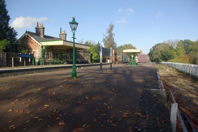
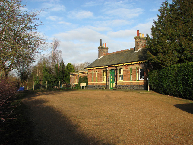
County School railway station
County School railway station is on the Mid-Norfolk Railway in Norfolk, England; it will serve the villages of North Elmham and Guist once services resume...

Fakenham and Dereham Railway Society
The Fakenham and Dereham Railway Society (F&DRS) was a heritage railway society in the English county of Norfolk. For a short period of time it operated...
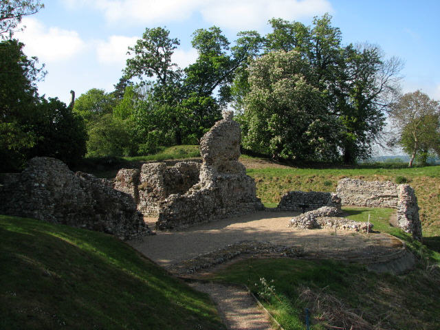
North Elmham Castle
North Elmham Castle, also known as North Elmham Bishops Castle and North Elmham Bishops Chapel, is a ruined castle in the village of North Elmham, in the...

North Elmham
North Elmham is a village and civil parish in the English county of Norfolk. It covers an area of 7.41 sq mi (19.2 km2) and is located about 5 mi (8.0...
Nearby Amenities
Located within 500m of 52.764607,0.92332705Have you been to Great Heath?
Leave your review of Great Heath below (or comments, questions and feedback).