Coppins Meadow
Downs, Moorland in Essex Colchester
England
Coppins Meadow
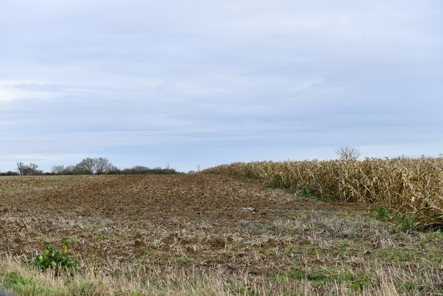
Coppins Meadow is a picturesque area located in Essex, England. Situated in the heart of the county, it is well-known for its diverse natural landscape, encompassing downs, moorland, and lush meadows. Spanning approximately 1,500 acres, Coppins Meadow offers a tranquil and idyllic environment for both locals and visitors to explore.
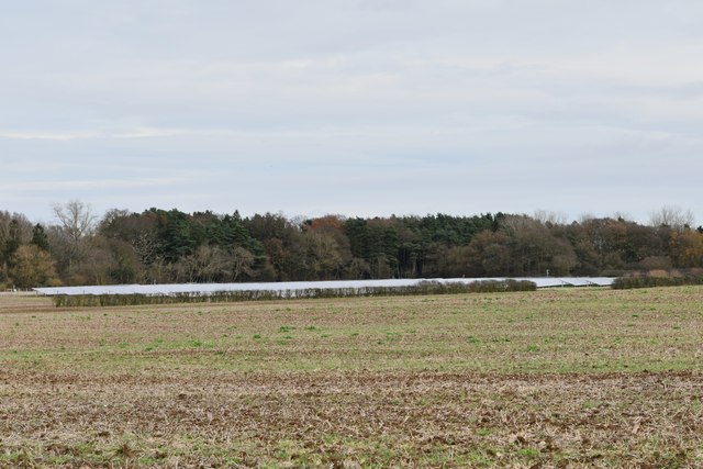
The downs in Coppins Meadow are characterized by gently rolling hills and expansive grasslands. These open spaces provide breathtaking views of the surrounding countryside and are a popular destination for hiking and nature walks. The serene atmosphere allows visitors to immerse themselves in the beauty of the area, with an abundance of wildlife and flora to be discovered along the way.
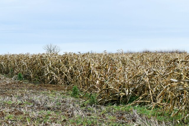
The moorland in Coppins Meadow offers a stark contrast to the downs. Dotted with heather and gorse, this rugged terrain is home to a variety of unique and rare species, making it a haven for birdwatchers and nature enthusiasts. The moorland attracts a range of birds, including skylarks, stonechats, and curlews, adding to the area's rich biodiversity.
The meadows in Coppins Meadow are a sight to behold, with vibrant wildflowers carpeting the land during the spring and summer months. These meadows are not only visually stunning but also support a diverse ecosystem of insects, butterflies, and small mammals.
Coppins Meadow also boasts several walking trails and picnic areas, allowing visitors to fully enjoy the natural beauty of the area. The tranquil ambiance coupled with the stunning landscapes make Coppins Meadow a must-visit destination for anyone seeking a peaceful retreat in the heart of Essex.
If you have any feedback on the listing, please let us know in the comments section below.
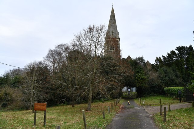
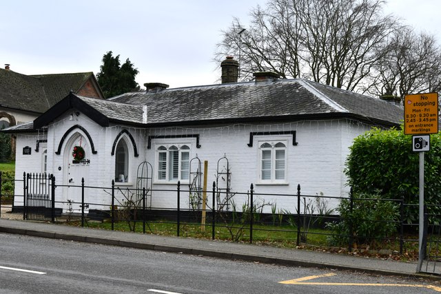
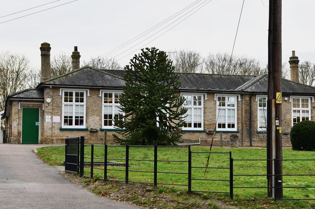
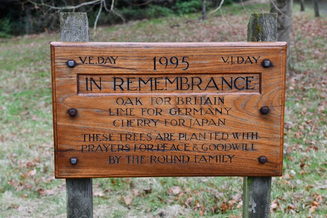
Coppins Meadow Images
Images are sourced within 2km of 51.85093/0.8343495 or Grid Reference TL9520. Thanks to Geograph Open Source API. All images are credited.


Coppins Meadow is located at Grid Ref: TL9520 (Lat: 51.85093, Lng: 0.8343495)
Administrative County: Essex
District: Colchester
Police Authority: Essex
What 3 Words
///retain.shot.proper. Near Layer de la Haye, Essex
Nearby Locations
Related Wikis

Birch, Essex
Birch is a village and civil parish in the City of Colchester district of Essex, England. It is located approximately 5 miles (8 km) south-west of Colchester...

Heckfordbridge
Heckfordbridge or Heckford is a hamlet in the civil parish of Birch, in the county of Essex, England. The settlement is on the B1022 road, between Colchester...

Colchester Zoo
Colchester Zoo is a zoological garden situated near Colchester, England. The zoo opened in 1963 and celebrated its 60th anniversary on 2 June 2023. It...

Layer de la Haye
Layer de la Haye (often spelled Layer-de-la-Haye; locally known just as Layer) is a village and civil parish in the City of Colchester district of Essex...

Hardy's Green
Hardy's Green is a hamlet in civil parish of Birch in the Colchester district, in the county of Essex, England. Nearby settlements include the large town...

Roman River Valley
Roman River Valley is a 17.8-hectare (44-acre) nature reserve north of Layer de la Haye in Essex. It is managed by the Essex Wildlife Trust.This wetland...

Layer Breton
Layer Breton is a village and a civil parish in the City of Colchester district of Essex, England. According to the 2011 census there were 144 males and...
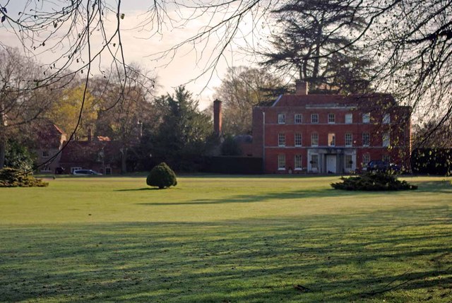
Copford Hall
Copford Hall is a manorial seat and Grade II listed country house, with gardens by Capability Brown, in the village of Copford, Essex, England, 46 miles...
Nearby Amenities
Located within 500m of 51.85093,0.8343495Have you been to Coppins Meadow?
Leave your review of Coppins Meadow below (or comments, questions and feedback).