Hembridge
Settlement in Somerset Mendip
England
Hembridge
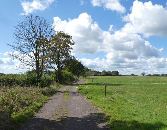
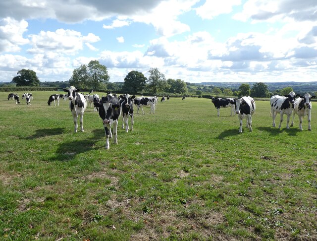
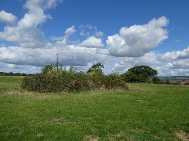
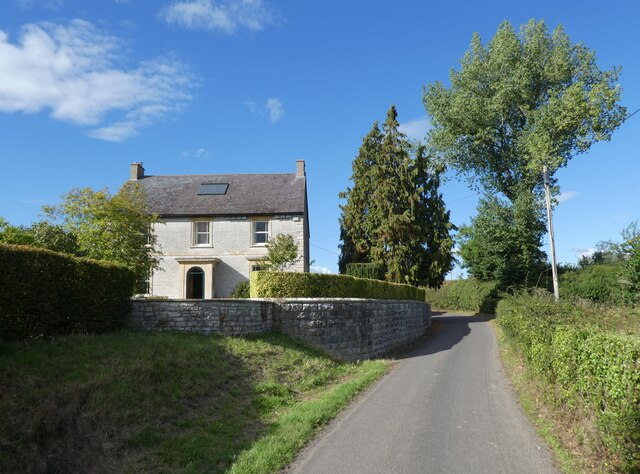
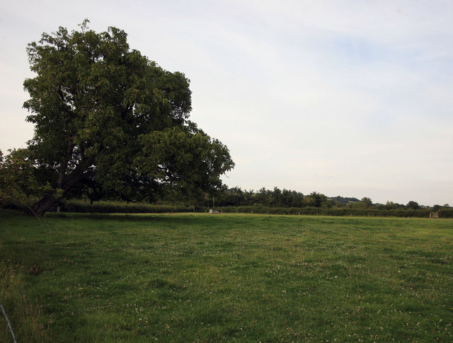
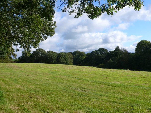
Hembridge is a quaint village located in the county of Somerset, England. Situated near the southern edge of the Mendip Hills, it is surrounded by picturesque countryside, offering stunning views and a peaceful atmosphere. The village is part of the Mendip district and falls within the parish of Compton Bishop.
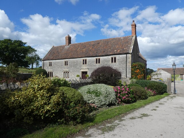
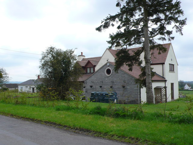
With a population of around 500 residents, Hembridge exudes a close-knit community vibe. The village is primarily residential, consisting of charming cottages and a few small businesses. The architecture in Hembridge reflects its rich history, with some buildings dating back to the 17th century.
Nature enthusiasts will find themselves in paradise in Hembridge. The nearby Mendip Hills provide ample opportunities for hiking, cycling, and exploring the great outdoors. The village is also close to Cheddar Gorge, a world-famous limestone gorge and a popular tourist destination.
Although Hembridge is a small village, it offers basic amenities to its residents. There is a local pub, The Red Lion, which serves traditional British cuisine and provides a cozy spot for locals to socialize. Additionally, the village has a primary school, ensuring that families have access to education within their community.
Hembridge is well-connected to neighboring towns and cities. The A38 road runs nearby, providing easy access to Bristol, Taunton, and other major urban centers. The village is also served by a few bus routes, ensuring convenient transportation options for residents and visitors.
Overall, Hembridge is a charming and idyllic village that offers a tranquil environment, beautiful scenery, and a strong sense of community.
If you have any feedback on the listing, please let us know in the comments section below.
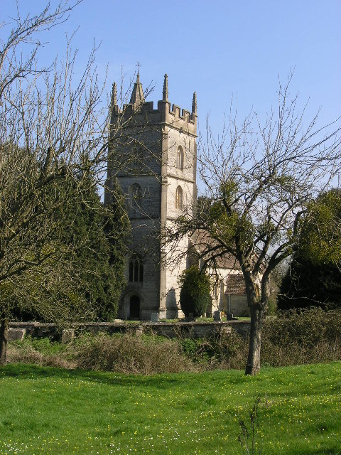
Hembridge Images
Images are sourced within 2km of 51.128758/-2.588746 or Grid Reference ST5836. Thanks to Geograph Open Source API. All images are credited.


Hembridge is located at Grid Ref: ST5836 (Lat: 51.128758, Lng: -2.588746)
Administrative County: Somerset
District: Mendip
Police Authority: Avon and Somerset
What 3 Words
///scratches.rainfall.massive. Near Evercreech, Somerset
Nearby Locations
Related Wikis

East Pennard
East Pennard is a village and civil parish 4 miles (6.4 km) north west of Castle Cary, and 5 miles (8.0 km) south of Shepton Mallet, in the Mendip district...

Glastonbury Festival
Glastonbury Festival (formally Glastonbury Festival of Contemporary Performing Arts and known colloquially as Glasto) is a five-day festival of contemporary...
Church of St Thomas à Becket, Pylle
The Anglican Church of St Thomas à Becket in Pylle, Somerset, England, was built in the 15th century. It is a Grade II* listed building. == History... ==
Pylle
Pylle is a village and civil parish 4 miles (6.4 km) south west of Shepton Mallet, and 7 miles (11.3 km) from Wells, in the Mendip district of Somerset...
Nearby Amenities
Located within 500m of 51.128758,-2.588746Have you been to Hembridge?
Leave your review of Hembridge below (or comments, questions and feedback).