Rook Wood
Downs, Moorland in Sussex Rother
England
Rook Wood

Rook Wood is a picturesque and diverse natural area located in Sussex, England. Spanning across the Downs and Moorland regions, it covers an expansive area of approximately 500 hectares. The wood is primarily composed of dense deciduous trees, including oak, beech, and ash, which provide a rich and varied habitat for a wide range of wildlife.
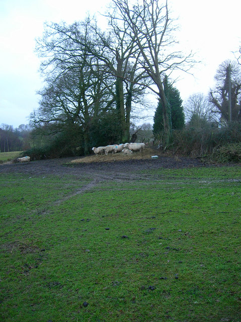
The wood is renowned for its tranquil atmosphere and breathtaking landscapes. It offers visitors a chance to immerse themselves in the beauty of nature, with well-maintained walking trails and paths that wind through the woodlands, providing ample opportunities for exploration and discovery. Along the trails, visitors may encounter various species of birds, including rooks, as well as small mammals and insects that call the wood their home.
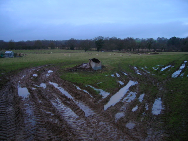
The diverse topography of Rook Wood adds to its appeal. From rolling hills and valleys to open moorlands, the wood offers a mix of different habitats, each with its own unique flora and fauna. The wood is also home to several small ponds and streams, further enhancing its natural charm.
Managed by a local conservation trust, Rook Wood is carefully preserved to maintain its ecological balance and protect its biodiversity. The trust organizes regular educational events and guided tours, allowing visitors to learn more about the wood's history, ecology, and ongoing conservation efforts.
With its peaceful ambiance, stunning landscapes, and abundance of wildlife, Rook Wood is a true gem of Sussex, attracting nature enthusiasts, hikers, and photographers year-round.
If you have any feedback on the listing, please let us know in the comments section below.
Rook Wood Images
Images are sourced within 2km of 51.001304/0.63529861 or Grid Reference TQ8525. Thanks to Geograph Open Source API. All images are credited.


Rook Wood is located at Grid Ref: TQ8525 (Lat: 51.001304, Lng: 0.63529861)
Administrative County: East Sussex
District: Rother
Police Authority: Sussex
What 3 Words
///outer.marriage.gullible. Near Northiam, East Sussex
Nearby Locations
Related Wikis

Beckley, East Sussex
Beckley is a village and civil parish in the Rother district of East Sussex, England. It is located on the B2088 minor road above the Rother Levels five...
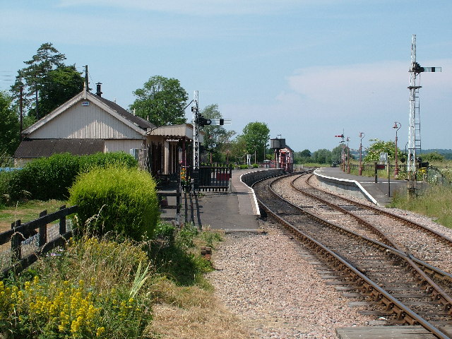
Northiam railway station
Northiam railway station is on the Kent and East Sussex Railway. It is located to the west of the level crossing on the A28 road linking the Kentish village...

Northiam SSSI
Northiam SSSI is a 0.3-hectare (0.74-acre) geological Site of Special Scientific Interest in Northiam in East Sussex. It is a Geological Conservation Review...

Newenden
Newenden is a small village and civil parish in area and population in the Ashford District of Kent, England. == Geography == The village is clustered...
Lossenham Friary
Lossenham Friary was a Carmelite friary in Newenden in the Weald of Kent, England. == History == Sir Thomas Alcher or Aucher founded the third Carmelite...

Flatropers Wood
Flatropers Wood is a 38-hectare (94-acre) nature reserve in Rye in East Sussex. It is managed by the Sussex Wildlife Trust.The wood is mainly oak and...

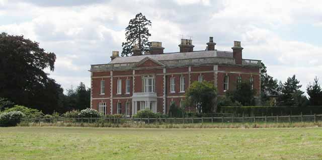
Brickwall House
Brickwall House (formerly known as Down House School and Brickwall House School) is a country house in Northiam, East Sussex, England, now run as a dyslexia...

Northiam Unitarian Chapel
Northiam Unitarian Chapel is a former place of worship for Unitarians in Northiam, a village in the district of Rother in the English county of East Sussex...
Nearby Amenities
Located within 500m of 51.001304,0.63529861Have you been to Rook Wood?
Leave your review of Rook Wood below (or comments, questions and feedback).