Brook Wood

Downs, Moorland in Sussex Rother

England

Brook Wood

Three Oaks Public House, Three Oaks
Three Oaks Public House, Three Oaks Credit: PAUL FARMER

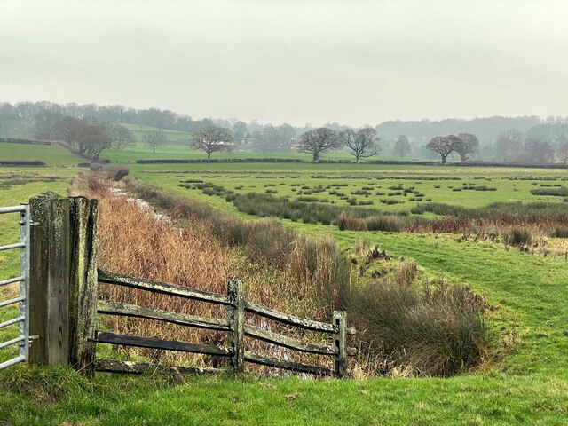
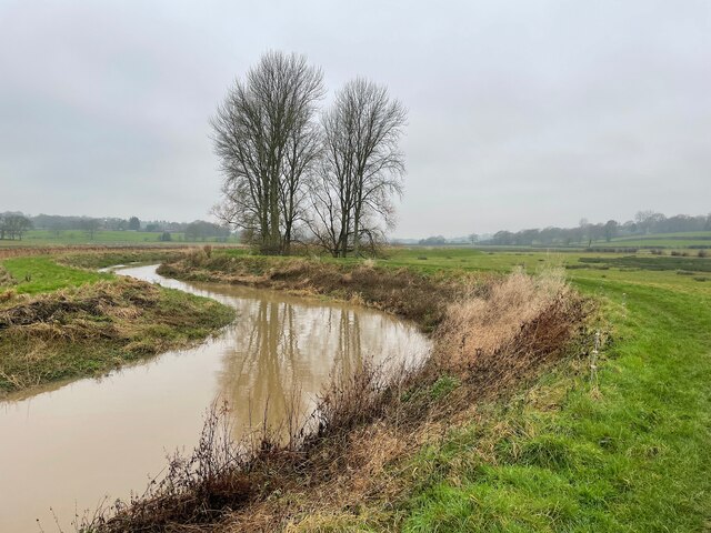
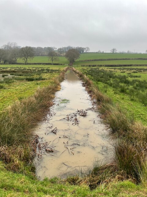
Brook Wood is a picturesque area located in Sussex, England, renowned for its stunning landscapes and diverse natural beauty. Nestled within the South Downs National Park, this region is characterized by its rolling hills, lush green meadows, and charming woodlands. It spans over a vast area that includes both moorland and woodland, offering visitors a wide range of outdoor activities and sights to explore.

The woodlands of Brook Wood are known for their rich biodiversity, hosting a variety of native tree species such as oak, beech, and ash. The tranquil atmosphere of the woodlands provides a perfect retreat for nature enthusiasts, hikers, and birdwatchers. The area is home to various wildlife species, including deer, foxes, badgers, and a wide array of bird species.

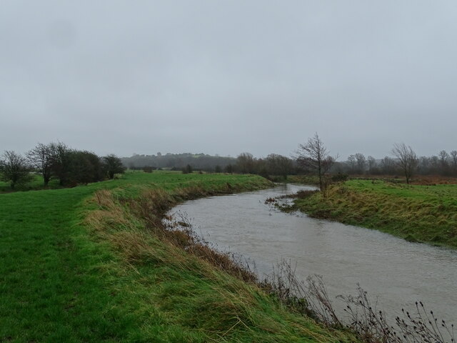
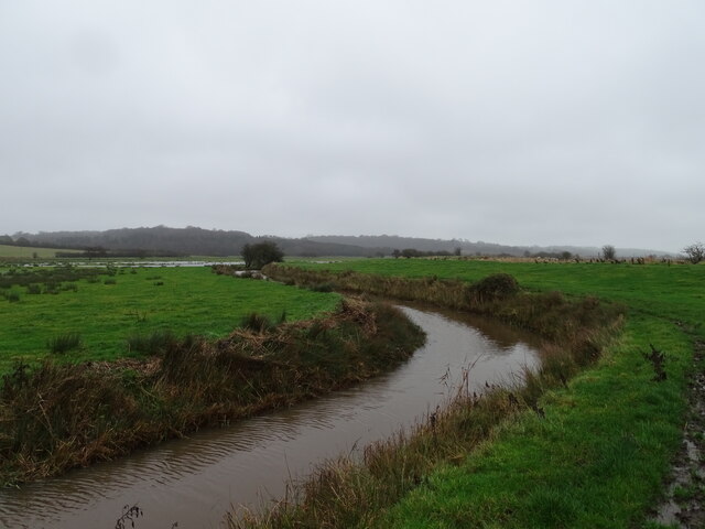
In addition to the woodlands, Brook Wood also boasts expansive moorland areas, characterized by open grasslands and heathlands. These moorlands are adorned with vibrant displays of wildflowers, especially during the spring and summer months. The moorland landscape offers breathtaking panoramic views of the surrounding countryside, making it a popular spot for photographers and nature lovers alike.

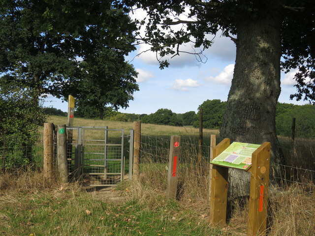
Brook Wood is a haven for outdoor activities, with numerous walking trails and cycling routes that wind through its scenic countryside. The area also offers opportunities for horseback riding, picnicking, and camping. Visitors can immerse themselves in the tranquility of nature, enjoying the sights and sounds of this enchanting region.

Overall, Brook Wood in Sussex is a nature lover's paradise, offering a diverse range of landscapes, abundant wildlife, and a peaceful environment that allows visitors to connect with nature and escape the hustle and bustle of everyday life.

If you have any feedback on the listing, please let us know in the comments section below.
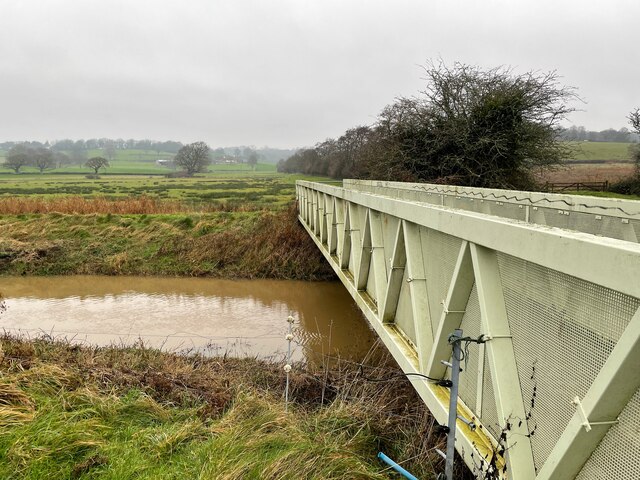
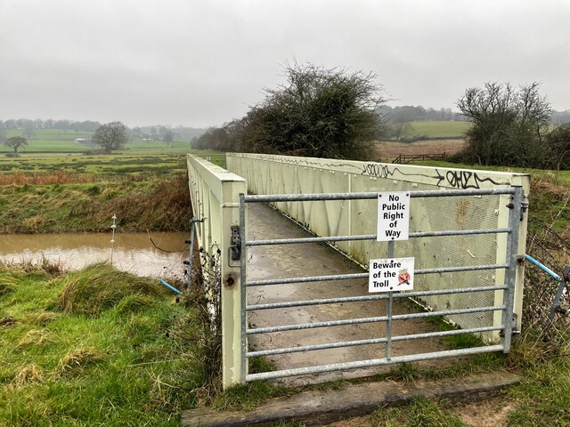
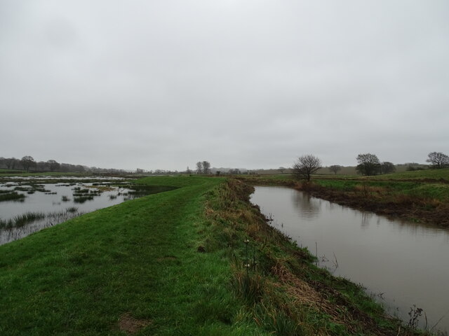
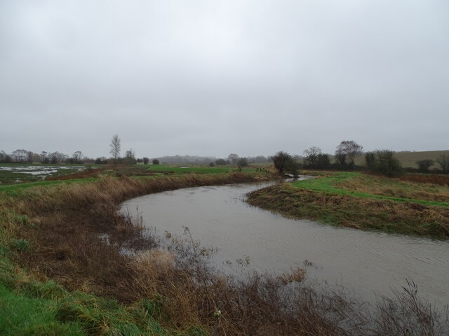
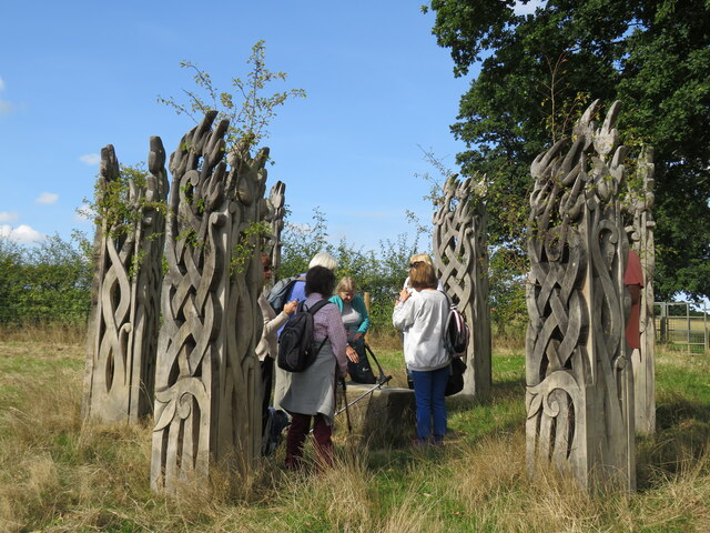
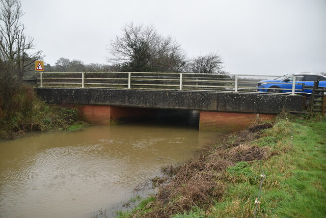
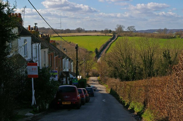
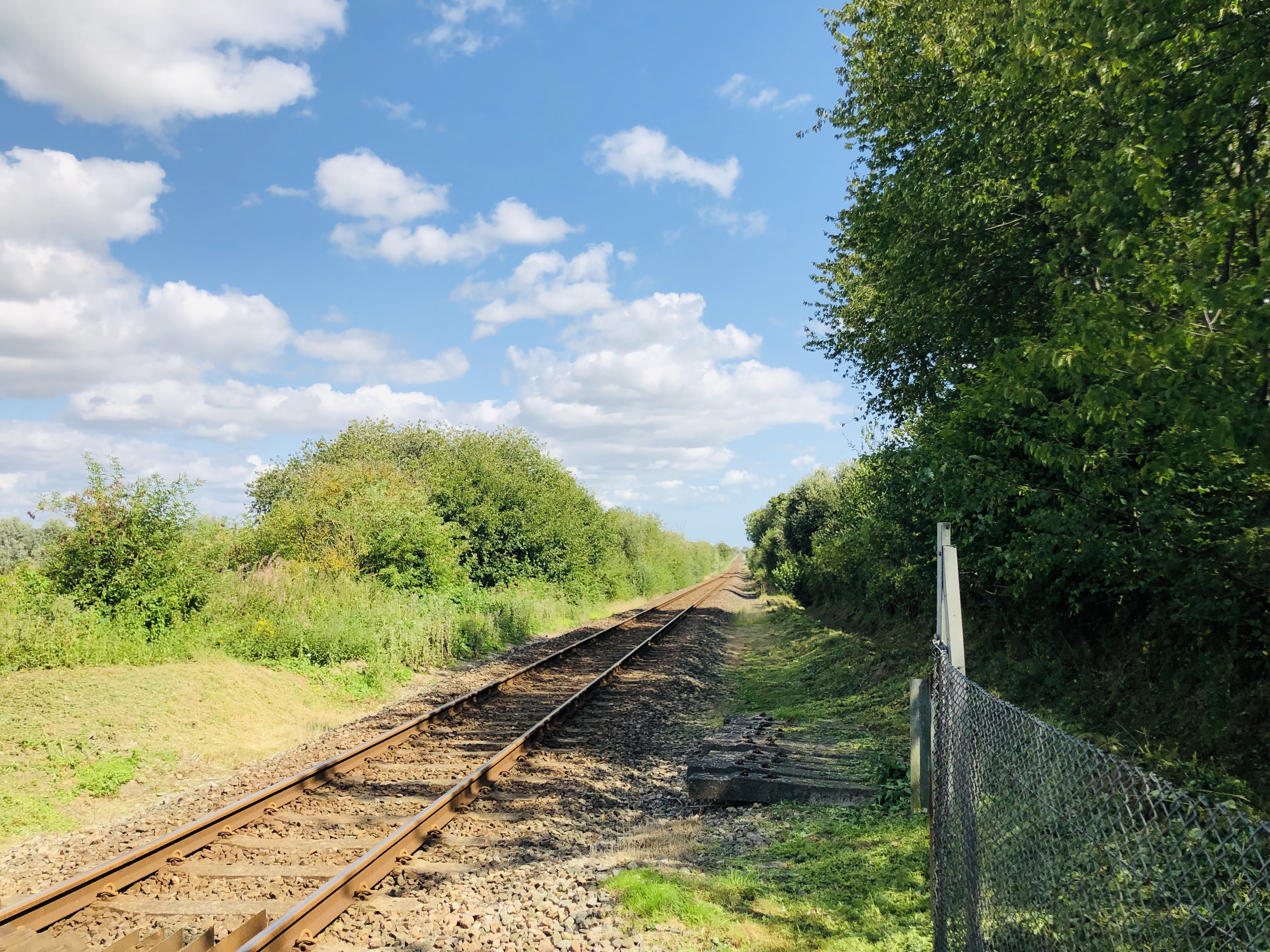
Brook Wood Images

Images are sourced within 2km of 50.918445/0.62231749 or Grid Reference TQ8416. Thanks to Geograph Open Source API. All images are credited.

Three Oaks Public House, Three Oaks
Brede Levels Looking towards Hare Farm from beside the River Brede.
Brede Levels
Looking towards Hare Farm from beside the River Brede.
River The River Brede rises north of Battle and flows generally eastwards before joining the River Tillingham and then the River Rother at Rye. It is approximately 15 miles long. In its lower course it forms part of the Royal Military Canal. In the past the river had a wide estuary, on which stood the town of Winchelsea, but this has silted up.
River
The River Brede rises north of Battle and flows generally eastwards before joining the River Tillingham and then the River Rother at Rye. It is approximately 15 miles long. In its lower course it forms part of the Royal Military Canal. In the past the river had a wide estuary, on which stood the town of Winchelsea, but this has silted up.
Drainage channel
Drainage channel
Banks along River Brede
River Brede
River Brede
River Brede
River Brede
River Brede
River Brede
Pattleton's Farm On the 1066 Country Walk.
Pattleton's Farm
On the 1066 Country Walk.
All about the 1066 The 1066 Country Walk links several places associated with the Norman conquest. It runs from Pevensey by Battle to Rye with links to Hastings. The route was upgraded with new gates, signs, seats and information boards such as one here east of Pattleton's Farm.
All about the 1066
The 1066 Country Walk links several places associated with the Norman conquest. It runs from Pevensey by Battle to Rye with links to Hastings. The route was upgraded with new gates, signs, seats and information boards such as one here east of Pattleton's Farm.
Sculpture trail The upgrade of the 1066 Country Walk not only made the going easier with new gates and signs but also provided sculptures to brighten up the route. Not sure what these six are meant to symbolise but the seat could prove helpful!
Sculpture trail
The upgrade of the 1066 Country Walk not only made the going easier with new gates and signs but also provided sculptures to brighten up the route. Not sure what these six are meant to symbolise but the seat could prove helpful!
View north from the 1066 View from the Pattleton resting station for weary legionnaires on the 1066 Walk.
View north from the 1066
View from the Pattleton resting station for weary legionnaires on the 1066 Walk.
Great Maxfield Oast Great Maxfield is a hamlet in the secluded valley of the Sailors Stream.
Great Maxfield Oast
Great Maxfield is a hamlet in the secluded valley of the Sailors Stream.
River Brede The River Brede rises north of Battle and flows generally eastwards before joining the River Tillingham and then the River Rother at Rye. It is approximately 15 miles long. In its lower course it forms part of the Royal Military Canal. In the past the river had a wide estuary, on which stood the town of Winchelsea, but this has silted up.
River Brede
The River Brede rises north of Battle and flows generally eastwards before joining the River Tillingham and then the River Rother at Rye. It is approximately 15 miles long. In its lower course it forms part of the Royal Military Canal. In the past the river had a wide estuary, on which stood the town of Winchelsea, but this has silted up.
Brede Bridge The River Brede rises north of Battle and flows generally eastwards before joining the River Tillingham and then the River Rother at Rye. It is approximately 15 miles long. In its lower course it forms part of the Royal Military Canal. In the past the river had a wide estuary, on which stood the town of Winchelsea, but this has silted up.
Brede Bridge
The River Brede rises north of Battle and flows generally eastwards before joining the River Tillingham and then the River Rother at Rye. It is approximately 15 miles long. In its lower course it forms part of the Royal Military Canal. In the past the river had a wide estuary, on which stood the town of Winchelsea, but this has silted up.
Flooding in the Brede Valley
Show me another place!

Brook Wood is located at Grid Ref: TQ8416 (Lat: 50.918445, Lng: 0.62231749)

Administrative County: East Sussex

District: Rother

Police Authority: Sussex

What 3 Words

///amphibian.various.october. Near Fairlight, East Sussex

Related Wikis

Doleham railway station

Doleham railway station is a small, single-platform wayside halt in Doleham, East Sussex, England. It is on the Marshlink line, and train services are...

Doleham

Doleham is a small hamlet in East Sussex, England. The hamlet consists of only a handful of houses, and takes its name from Doleham Farm. The area is popular...

Snailham Halt railway station

Snailham Halt railway station was on the South Eastern Railway's route between Ashford and Hastings, nowadays known as the Marshlink Line. It opened in...

Buckswood School

Buckswood School is a private school for boys and girls that was founded in 1933. Originally the school was situated in Uckfield and known as Buckswood...

Nearby Amenities

Located within 500m of 50.918445,0.62231749
Barrier: stile
Lat/Long: 50.921444/0.6236919
The data included in this document is from www.openstreetmap.org. The data is made available under ODbL.

Have you been to Brook Wood?

Leave your review of Brook Wood below (or comments, questions and feedback).