Coxford Heath

Downs, Moorland in Norfolk King's Lynn and West Norfolk

England

Coxford Heath

Old Milestone by the former A148, Coxford, East Rudham Parish The milestone is located 30yds east of the gate to Coxford Nurseries, opposite cottages, on the verge on the north side of road. Parish of East Rudham (Kings Lynn and West Norfolk District). Carved stone post, Wells stone design, erected by the Wells to Fakenham turnpike trust in the 20th century. 

Inscription reads:-
: TO / FAKENHAM / 5 : : E. RUDHAM : : TO / LYNN / 16 :  

Milestone Society National ID: NO_FKL05
Old Milestone by the former A148, Coxford, East Rudham Parish Credit: CW Haines

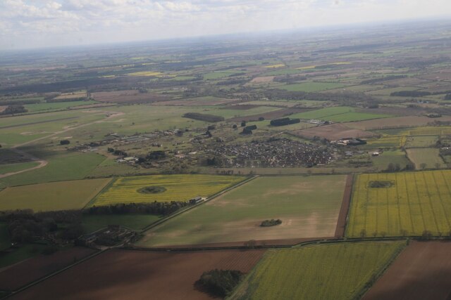
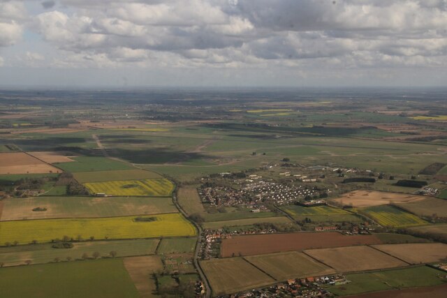
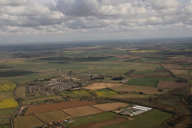
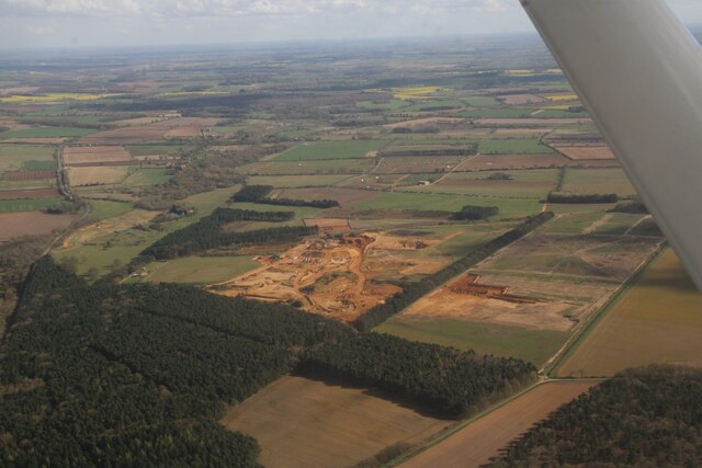
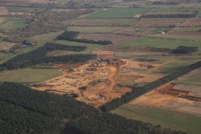
Coxford Heath, located in Norfolk, England, is a picturesque area known for its natural beauty and diverse landscape. Spanning over vast acres, the heath consists of both downs and moorland, offering visitors a unique experience of the Norfolk countryside.

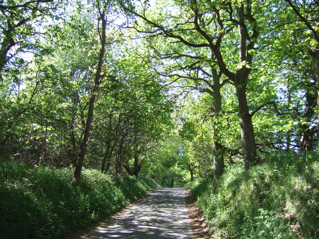
The downs of Coxford Heath feature rolling hills covered in lush grass, creating a serene and tranquil environment. Visitors can enjoy long walks or hikes, taking in the breathtaking views of the surrounding countryside. The downs are also home to a variety of wildlife, including various bird species and small mammals, providing nature enthusiasts with ample opportunities for observation and photography.

In contrast, the moorland of Coxford Heath offers a different landscape, characterized by open expanses of heather and gorse. The vibrant purples and yellows of the heather in bloom create a stunning visual spectacle during the summer months. Moorland walks are popular among visitors, allowing them to explore the untamed beauty of this unique habitat.

Coxford Heath is not only a haven for nature lovers but also holds historical and cultural significance. The area has evidence of prehistoric settlement, with archaeological finds such as flint tools and pottery fragments dating back to the Bronze Age. These discoveries give insight into the early human presence in the region and add an extra layer of fascination to the area.

Overall, Coxford Heath in Norfolk is a captivating destination for those seeking natural beauty, tranquility, and a glimpse into the region's rich past. Whether exploring the downs or wandering through the moorland, visitors are sure to be captivated by the charm and diversity of this enchanting landscape.

If you have any feedback on the listing, please let us know in the comments section below.

Coxford Heath Images

Images are sourced within 2km of 52.842605/0.71810843 or Grid Reference TF8330. Thanks to Geograph Open Source API. All images are credited.

Old Milestone by the former A148, Coxford, East Rudham Parish The milestone is located 30yds east of the gate to Coxford Nurseries, opposite cottages, on the verge on the north side of road. Parish of East Rudham (Kings Lynn and West Norfolk District). Carved stone post, Wells stone design, erected by the Wells to Fakenham turnpike trust in the 20th century. 

Inscription reads:-
: TO / FAKENHAM / 5 : : E. RUDHAM : : TO / LYNN / 16 :  

Milestone Society National ID: NO_FKL05
Old Milestone by the former A148, Coxford, East Rudham Parish
The milestone is located 30yds east of the gate to Coxford Nurseries, opposite cottages, on the verge on the north side of road. Parish of East Rudham (Kings Lynn and West Norfolk District). Carved stone post, Wells stone design, erected by the Wells to Fakenham turnpike trust in the 20th century. Inscription reads:- : TO / FAKENHAM / 5 : : E. RUDHAM : : TO / LYNN / 16 : Milestone Society National ID: NO_FKL05
Old Milestone by the A148, East Rudham Carved stone post by the A148, in parish of EAST RUDHAM (KINGS LYNN AND WEST NORFOLK District), 80yds East of junction with Eye Lane, at rear of wide verge, on South side of road. Wells stone, erected by the Wells to Fakenham turnpike trust in the 20th century. 

Inscription reads:-
: TO / LYNN / 15 : : E. RUDHAM : : TO / FAKENHAM / 6 :

Norfolk HER listed.  
NHER Number: 56750 <span class="nowrap"><a title="https://www.heritagegateway.org.uk/Gateway/Results_Single.aspx?uid=MNF63161&resourceID=1002" rel="nofollow ugc noopener" href="https://www.heritagegateway.org.uk/Gateway/Results_Single.aspx?uid=MNF63161&resourceID=1002">Link</a><img style="margin-left:2px;" alt="External link" title="External link - shift click to open in new window" src="https://s1.geograph.org.uk/img/external.png" width="10" height="10"/></span>

Milestone Society National ID: NO_FKL06.
Old Milestone by the A148, East Rudham
Carved stone post by the A148, in parish of EAST RUDHAM (KINGS LYNN AND WEST NORFOLK District), 80yds East of junction with Eye Lane, at rear of wide verge, on South side of road. Wells stone, erected by the Wells to Fakenham turnpike trust in the 20th century. Inscription reads:- : TO / LYNN / 15 : : E. RUDHAM : : TO / FAKENHAM / 6 : Norfolk HER listed. NHER Number: 56750 LinkExternal link Milestone Society National ID: NO_FKL06.
Approaching  East  Rudham  on  the  A148 Westbound toward Kings Lynn
Approaching East Rudham on the A148
Westbound toward Kings Lynn
Entering  East  Rudham  on  the  A148 Toward Kings Lynn
Entering East Rudham on the A148
Toward Kings Lynn
Croughton Lane Track heading north from the A148.
Croughton Lane
Track heading north from the A148.
A148 towards Coxford From the bottom of Croughton Lane.
A148 towards Coxford
From the bottom of Croughton Lane.
Cottages, Coxford
Cottages, Coxford
Road through Coxford Once the A148, now bypassed.
Road through Coxford
Once the A148, now bypassed.
Stubble field off the A148, East Rudham
A148, East Rudham Towards Fakenham.
A148, East Rudham
Towards Fakenham.
Jaguar XZ394 parked at Tattersett The aircraft, a Jaguar XZ394 was bought by farmer Thomas Hurn to raise money for the RAF Benevolent Fund.
It is painted in the colours of 16 Squadron, nicknamed the Saints, and was disbanded at Coltishall in 2008. It also served for a while as a gate guardian at RAF Shoreham.
Jaguar XZ394 parked at Tattersett
The aircraft, a Jaguar XZ394 was bought by farmer Thomas Hurn to raise money for the RAF Benevolent Fund. It is painted in the colours of 16 Squadron, nicknamed the Saints, and was disbanded at Coltishall in 2008. It also served for a while as a gate guardian at RAF Shoreham.
A new Wicken Green village sign for the Jubilee Made especially for the Queen's Platinum Jubilee it is so much nicer than its predecessor.
A new Wicken Green village sign for the Jubilee
Made especially for the Queen's Platinum Jubilee it is so much nicer than its predecessor.
Wicken Green, former RAF Sculthorpe housing estate: aerial 2024 (1)
Wicken Green, former RAF Sculthorpe housing estate: aerial 2024 (2)
Sand Quarry, Syderstone: aerial 2024 (1)
Sand Quarry, Syderstone: aerial 2024 (2)
Lane in Coxford Wood On the edge of Syderstone Common and probably called Rudham Road? This road was cut in two by the B1454 which was one of several new roads constructed or diverted in the area when Sculthorpe Airfield was built in the mid 20th century
Lane in Coxford Wood
On the edge of Syderstone Common and probably called Rudham Road? This road was cut in two by the B1454 which was one of several new roads constructed or diverted in the area when Sculthorpe Airfield was built in the mid 20th century
Show me another place!

Coxford Heath is located at Grid Ref: TF8330 (Lat: 52.842605, Lng: 0.71810843)

Administrative County: Norfolk

District: King's Lynn and West Norfolk

Police Authority: Norfolk

What 3 Words

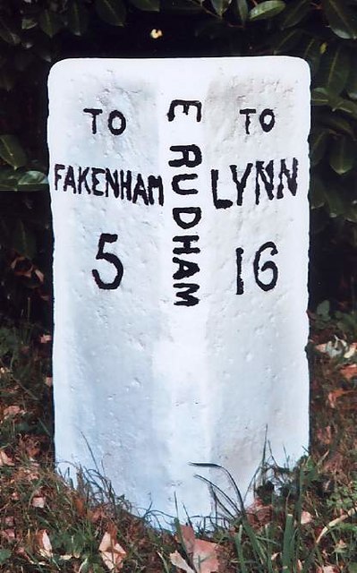
///flute.modest.clays. Near Fakenham, Norfolk

Related Wikis

Syderstone Common

Syderstone Common is a 43.7-hectare (108-acre) biological Site of Special Scientific Interest west of Fakenham in Norfolk. An area of 24-hectare (59-acre...

Tattersett

Tattersett is a village and civil parish in the English county of Norfolk. It covers an area of 11.38 square kilometres (4.39 square miles), and had a...

Syderstone

Syderstone is a civil parish in the English county of Norfolk, near the town of Fakenham. It has an area of 9.94 km2 (3.84 sq mi). The population of 532...
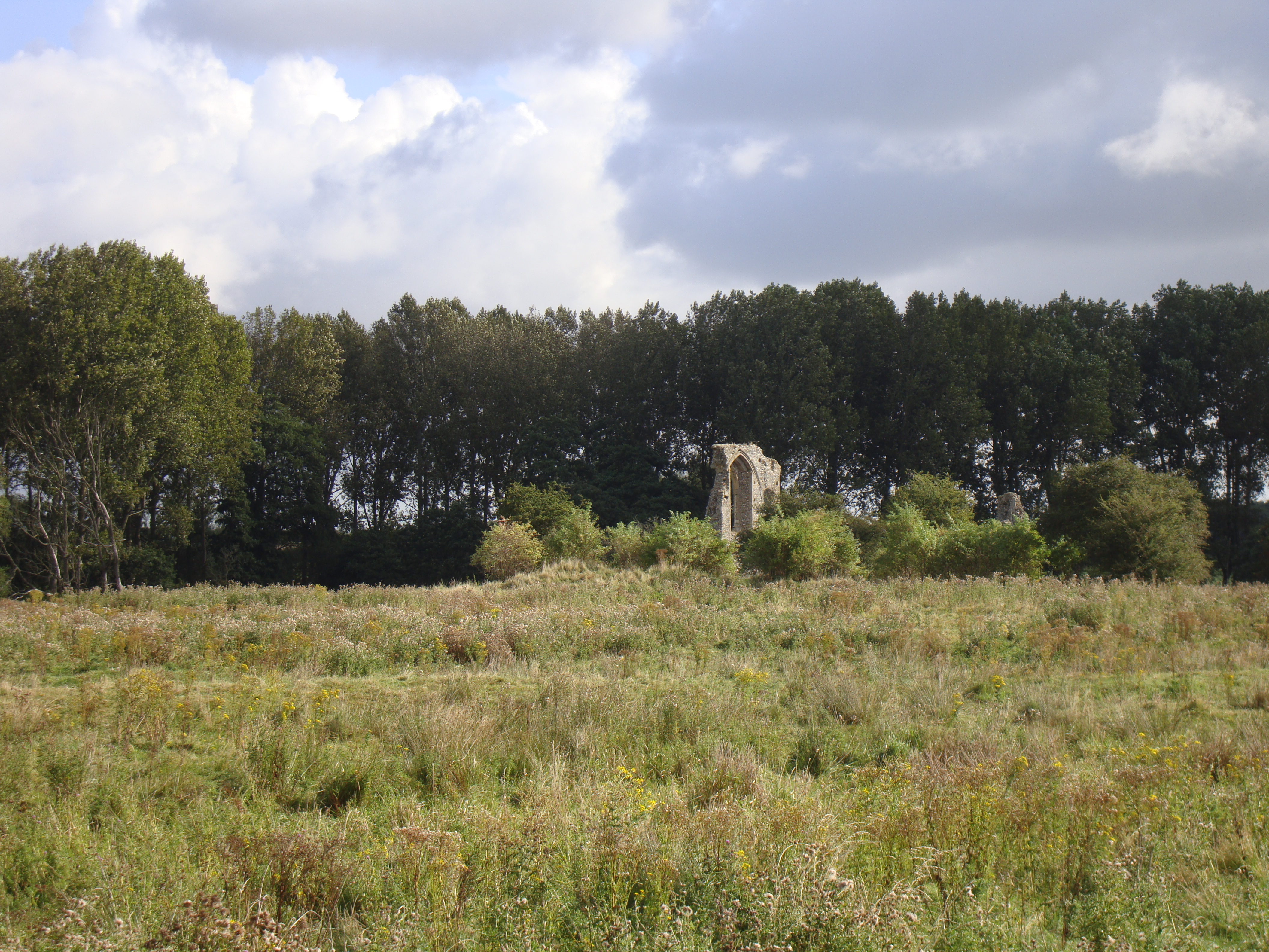
Coxford Priory

Coxford Priory or Broomsthorpe Priory was a monastic house in Norfolk, England. An Augustinian Canons Regular establishment, initially founded around 1140...

Have you been to Coxford Heath?

Leave your review of Coxford Heath below (or comments, questions and feedback).