Syderstone Common

Downs, Moorland in Norfolk King's Lynn and West Norfolk

England

Syderstone Common

A new Wicken Green village sign for the Jubilee Made especially for the Queen's Platinum Jubilee it is so much nicer than its predecessor.
A new Wicken Green village sign for the Jubilee Credit: Adrian S Pye

Syderstone Common is a picturesque area located in Norfolk, England. Spread across an expanse of approximately 150 acres, it is a unique combination of downs and moorland landscapes. The common is situated near the village of Syderstone, which adds to its overall charm and accessibility.

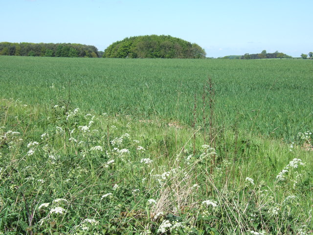
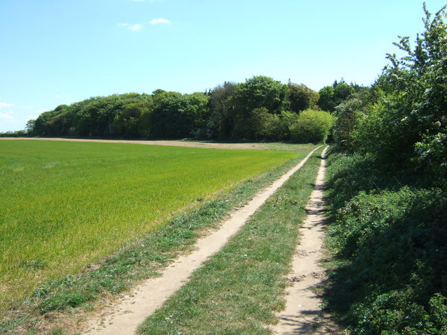
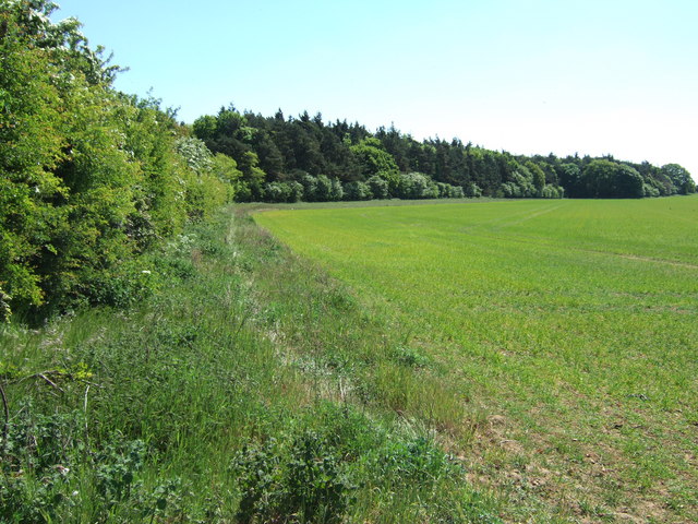
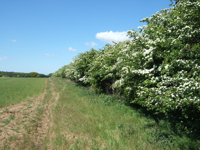
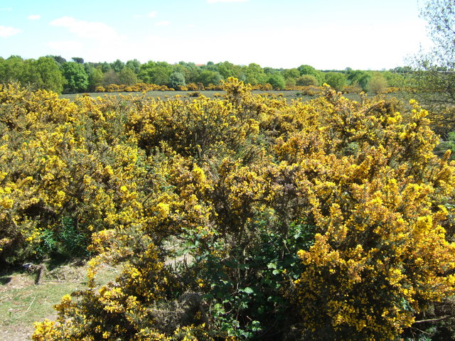
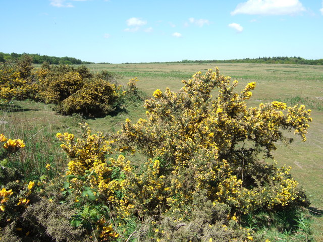
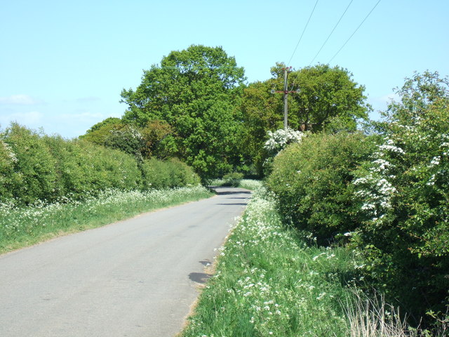
The common is characterized by its gently rolling hills covered in lush green grassland, interspersed with patches of heather and gorse. This diverse vegetation provides a haven for a wide range of wildlife, including various species of birds, insects, and small mammals. The area is particularly renowned for its bird population, attracting birdwatchers from far and wide.

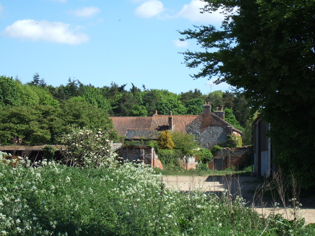
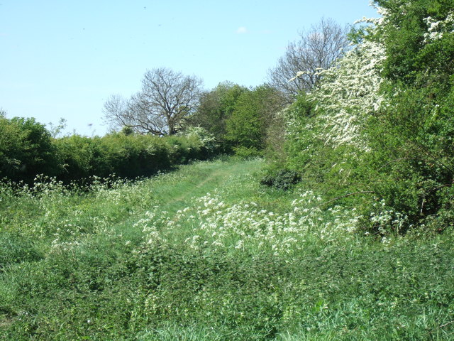
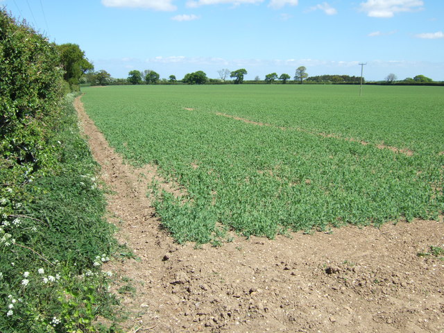
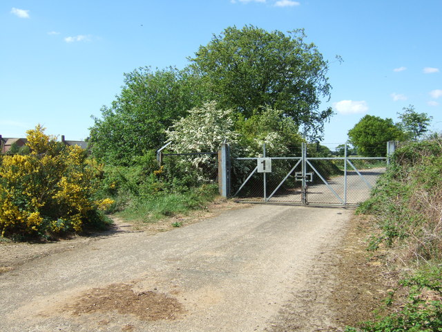
Apart from its natural beauty, Syderstone Common also holds historical significance. It is believed that the area was used for grazing livestock centuries ago, and remnants of old enclosures and field boundaries can still be seen today. These historical features, along with the traditional hedgerows and scattered trees, contribute to the overall charm and character of the common.

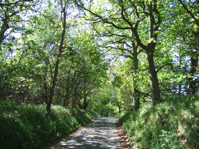
Syderstone Common is a popular destination for nature enthusiasts, hikers, and those seeking a tranquil escape from the hustle and bustle of everyday life. It offers a network of footpaths and bridleways that crisscross through the landscape, allowing visitors to explore the area and take in the breathtaking views.

In conclusion, Syderstone Common in Norfolk is a natural haven that seamlessly combines downs and moorland landscapes. With its diverse flora and fauna, historical remnants, and peaceful atmosphere, it is a must-visit destination for anyone seeking to immerse themselves in the beauty of the English countryside.

If you have any feedback on the listing, please let us know in the comments section below.

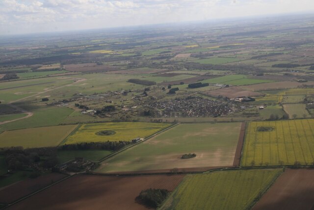
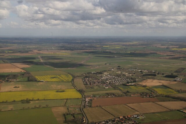
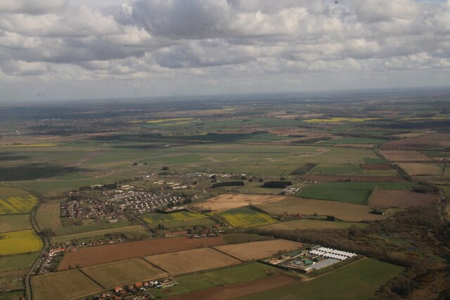
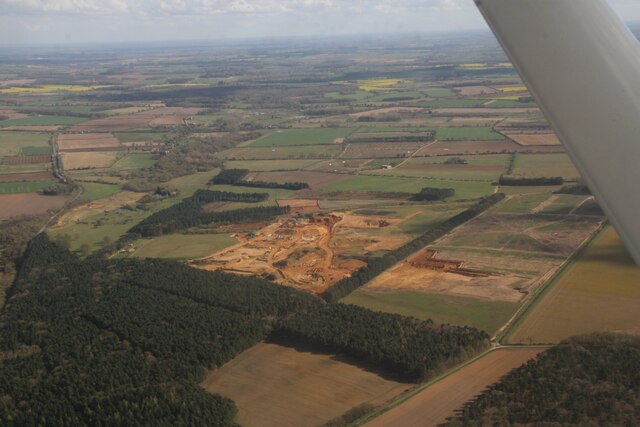
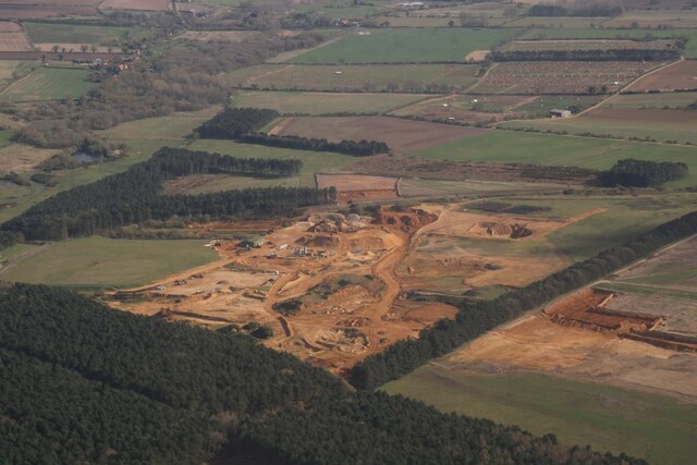
Syderstone Common Images

Images are sourced within 2km of 52.856081/0.71195384 or Grid Reference TF8232. Thanks to Geograph Open Source API. All images are credited.

A new Wicken Green village sign for the Jubilee Made especially for the Queen's Platinum Jubilee it is so much nicer than its predecessor.
A new Wicken Green village sign for the Jubilee
Made especially for the Queen's Platinum Jubilee it is so much nicer than its predecessor.
Wicken Green, former RAF Sculthorpe housing estate: aerial 2024 (1)
Wicken Green, former RAF Sculthorpe housing estate: aerial 2024 (2)
Sand Quarry, Syderstone: aerial 2024 (1)
Sand Quarry, Syderstone: aerial 2024 (2)
Lane in Coxford Wood On the edge of Syderstone Common and probably called Rudham Road? This road was cut in two by the B1454 which was one of several new roads constructed or diverted in the area when Sculthorpe Airfield was built in the mid 20th century
Lane in Coxford Wood
On the edge of Syderstone Common and probably called Rudham Road? This road was cut in two by the B1454 which was one of several new roads constructed or diverted in the area when Sculthorpe Airfield was built in the mid 20th century
Farmland near Barmer Common Plantation West of Syderstone in Norfolk
Farmland near Barmer Common Plantation
West of Syderstone in Norfolk
Barmer Farm, Barmer North west of Syderstone in Norfolk
Barmer Farm, Barmer
North west of Syderstone in Norfolk
Track to Manor Ling, Syderstone, Norfolk
Farmland near Manor Ling north of  Syderstone in Norfolk
Farmland near Manor Ling north of Syderstone in Norfolk
Hawthorn hedge near Manor Ling North of Syderstone in Norfolk
Hawthorn hedge near Manor Ling
North of Syderstone in Norfolk
Gorse bushes on Syderstone Common in Norfolk A view looking east from Rudham Road
Gorse bushes on Syderstone Common in Norfolk
A view looking east from Rudham Road
Syderstone Common in Norfolk
Green lane and footpath north of Syderstone, Norfolk
Crop of peas near Syderstone
Lane heading north from Syderstone in Norfolk
Inside gate No 1 on Syderstone Road This gate would have formed part of the security around Sculthorpe Airfield when it was operational. It still remains locked although it is possible to gain access to either side of the gate. It probably formed part of the security for the living quarters which are now the non military community Blenheim Park and Wicken Green Village. The road behind me turns into a track which then goes through Gate No 2 (see <a title="https://www.geograph.org.uk/photo/2392510" href="https://www.geograph.org.uk/photo/2392510">Link</a> ) and into a part of the airfield which is still secure.
Inside gate No 1 on Syderstone Road
This gate would have formed part of the security around Sculthorpe Airfield when it was operational. It still remains locked although it is possible to gain access to either side of the gate. It probably formed part of the security for the living quarters which are now the non military community Blenheim Park and Wicken Green Village. The road behind me turns into a track which then goes through Gate No 2 (see Link ) and into a part of the airfield which is still secure.
Show me another place!

Syderstone Common is located at Grid Ref: TF8232 (Lat: 52.856081, Lng: 0.71195384)

Administrative County: Norfolk

District: King's Lynn and West Norfolk

Police Authority: Norfolk

What 3 Words

///mule.almost.tungsten. Near Fakenham, Norfolk

Nearby Locations

Syderstone Common

Related Wikis

Syderstone Common

Syderstone Common is a 43.7-hectare (108-acre) biological Site of Special Scientific Interest west of Fakenham in Norfolk. An area of 24-hectare (59-acre...

Syderstone

Syderstone is a civil parish in the English county of Norfolk, near the town of Fakenham. It has an area of 9.94 km2 (3.84 sq mi). The population of 532...

Bagthorpe with Barmer

Bagthorpe with Barmer is a civil parish in the English county of Norfolk. The parish includes the hamlets of Bagthorpe and Barmer, it is around 7+1⁄2 miles...

Tattersett

Tattersett is a village and civil parish in the English county of Norfolk. It covers an area of 11.38 square kilometres (4.39 square miles), and had a...

Nearby Amenities

Located within 500m of 52.856081,0.71195384
Power: pole
Lat/Long: 52.8602191/0.7130787
Power: pole
Lat/Long: 52.8594004/0.7122847
Power: pole
Lat/Long: 52.8598006/0.7121693
Power: pole
Lat/Long: 52.8602838/0.7120299
Power: pole
Lat/Long: 52.858819/0.7122083
Bench
Backrest: yes
Colour: brown
Material: wood
Seats: 3
Lat/Long: 52.8601505/0.7122375
Give Way
Lat/Long: 52.8600653/0.7135343
Give Way
Lat/Long: 52.8602109/0.7121955
Syderstone
Man Made: village_sign
Material: wood
Lat/Long: 52.8601518/0.7125865
Board Type: notice
Information: board
Tourism: information
Lat/Long: 52.8601542/0.7125355
Give Way
Lat/Long: 52.8599657/0.7156987
The data included in this document is from www.openstreetmap.org. The data is made available under ODbL.

Have you been to Syderstone Common?

Leave your review of Syderstone Common below (or comments, questions and feedback).