Broadmeadow Common
Downs, Moorland in Norfolk King's Lynn and West Norfolk
England
Broadmeadow Common
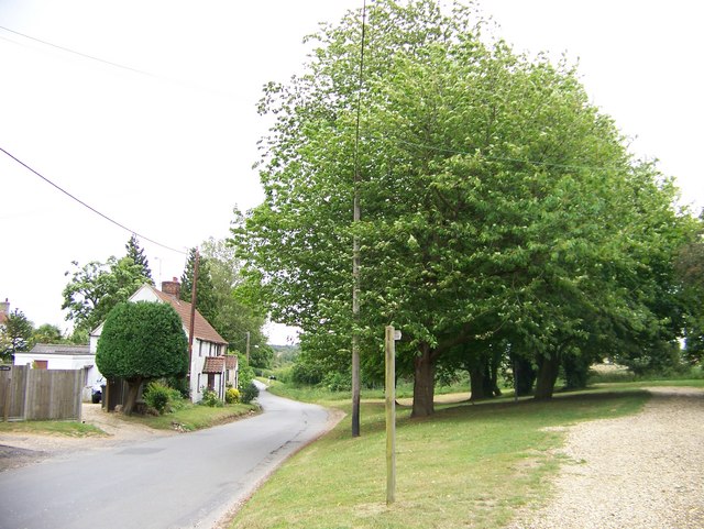
Broadmeadow Common is a picturesque and diverse natural landscape located in Norfolk, England. Spread over an area of approximately 500 hectares, it encompasses a unique combination of downs, moorland, and wetland habitats. The common is situated close to the village of Broadmeadow, making it easily accessible for both locals and visitors.
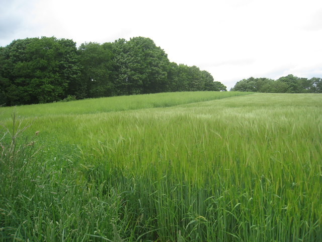
The downs area of Broadmeadow Common is characterized by rolling grassy hills, offering panoramic views of the surrounding countryside. It is home to a variety of grasses, wildflowers, and shrubs, providing a vital habitat for numerous bird species such as skylarks and meadow pipits. The open space also attracts several species of butterflies and insects.
Moving towards the moorland, visitors will encounter a more rugged and wild environment. Here, heather and gorse dominate the landscape, creating a vibrant and colorful scenery during the summer months. The moorland is home to several rare plant species, including the carnivorous sundew, as well as various bird species such as curlews and lapwings.
The wetland area of Broadmeadow Common is characterized by marshes, reed beds, and small ponds. This diverse ecosystem is home to an array of aquatic plants, invertebrates, and amphibians. It provides an important breeding ground for waterfowl such as ducks and geese, while also attracting wading birds like herons and snipes.
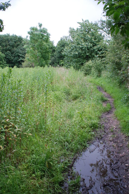
Broadmeadow Common offers a range of walking trails and nature reserves, allowing visitors to explore and appreciate the natural beauty and biodiversity of the area. It is a popular destination for nature lovers, birdwatchers, and photographers, providing a tranquil and serene escape from the bustle of everyday life.
If you have any feedback on the listing, please let us know in the comments section below.
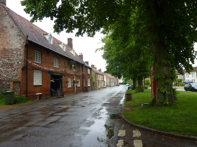
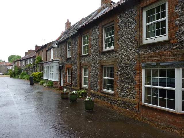
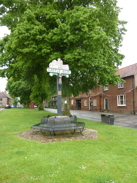
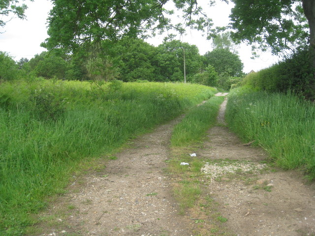
Broadmeadow Common Images
Images are sourced within 2km of 52.709605/0.69903755 or Grid Reference TF8215. Thanks to Geograph Open Source API. All images are credited.


Broadmeadow Common is located at Grid Ref: TF8215 (Lat: 52.709605, Lng: 0.69903755)
Administrative County: Norfolk
District: King's Lynn and West Norfolk
Police Authority: Norfolk
What 3 Words
///punk.obligated.boating. Near Swaffham, Norfolk
Nearby Locations
Related Wikis
Newton by Castle Acre
Newton by Castle Acre is a village, Anglican parish and civil parish in the Breckland district of the English county of Norfolk. It is situated on the...
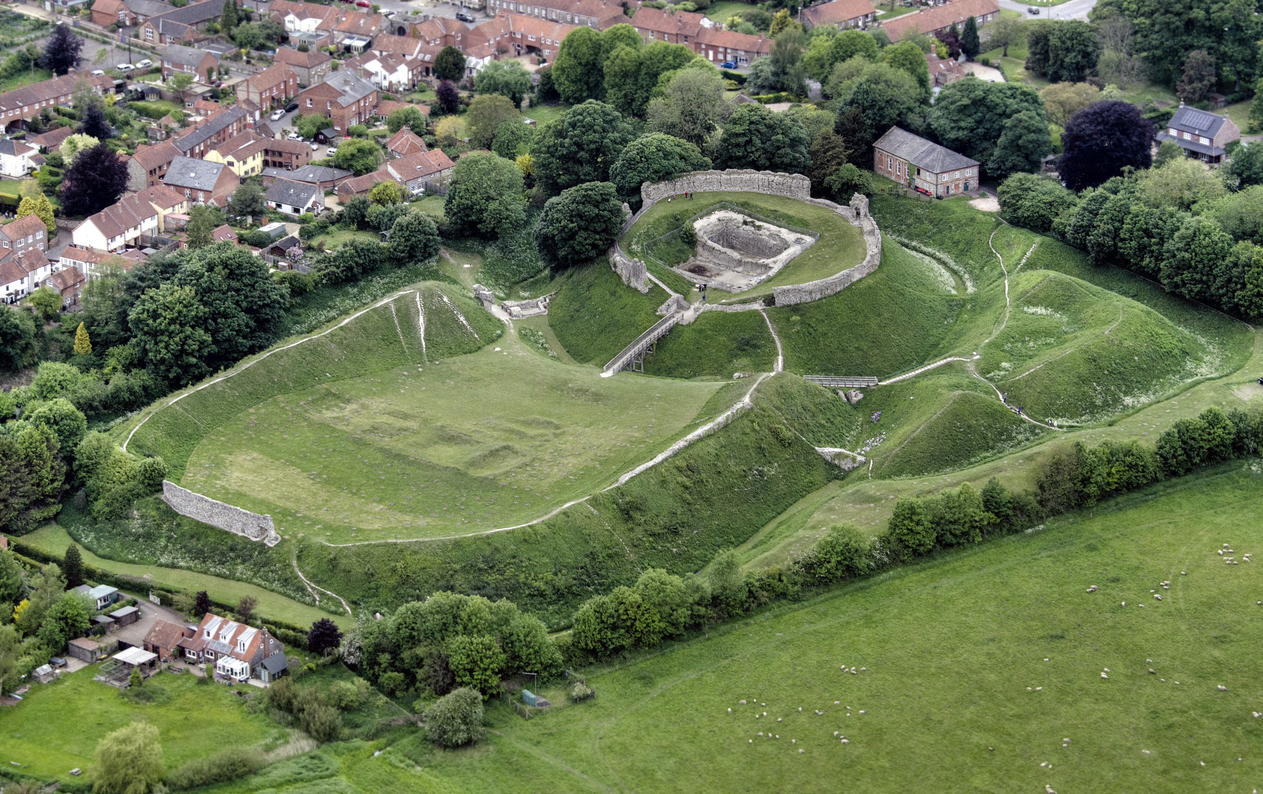
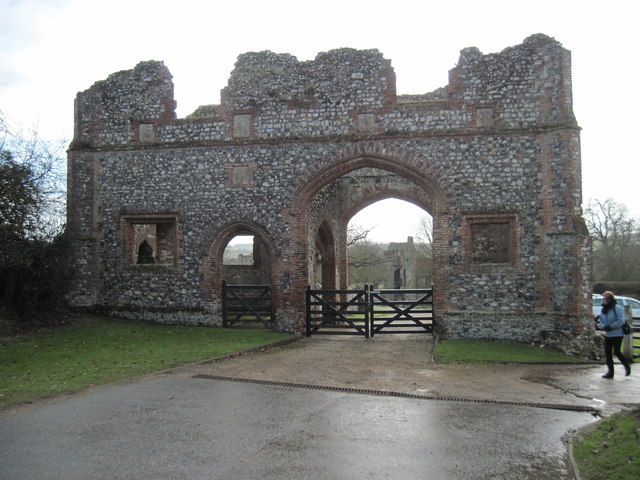
Castle Acre Castle and town walls
Castle Acre Castle and town walls are a set of ruined medieval defences built in the village of Castle Acre, Norfolk. The castle was built soon after the...

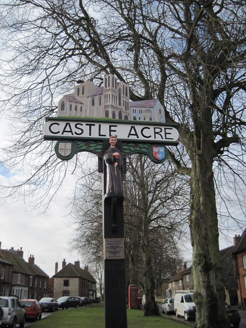
Castle Acre
Castle Acre is a village and civil parish in the English county of Norfolk. The village is situated on the River Nar some 4 miles (6.4 km) north of the...

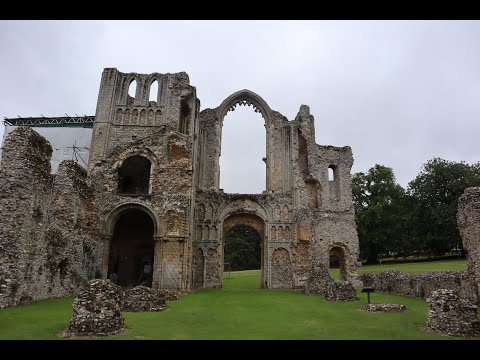
Castle Acre Priory
Castle Acre Priory was a Cluniac priory in the village of Castle Acre, Norfolk, England, dedicated to St Mary, St Peter, and St Paul. It is thought to...

Peddars Way
The Peddars Way is a long distance footpath that passes through Suffolk and Norfolk, England. == Route == The Peddars Way is 46 miles (74 km) long and...

South Acre
South Acre is a village and civil parish in the English county of Norfolk. The village has almost disappeared, but the remnants are located about 1 km...

West Lexham
West Lexham is a village and former civil parish, now in the parish of Lexham, in the Breckland district, in the county of Norfolk, England. It is 5.9...

Castle Acre Common
Castle Acre Common is a 17.8-hectare (44-acre) biological Site of Special Scientific Interest east of King's Lynn in Norfolk.This unimproved grazing marsh...
Related Videos

AN INTRODUCTION TO ESSEX WALKING BRITAIN
Please LIKE, COMMENT+ SUBSCRIBE on the journey towards our next huge, extreme walking challenge. -INSTAGRAM ...

Castle Acre Priory Revisited #englishheritage
This English Heritage site visited this weekend was to Castle Acre Priory in Norfolk. The village of Castle Acre may be small but it ...
Castle Acre Priory
View of Castle Acre Priory in the village of Castle Acre, Norfolk. Owned and look after by English Heritage.

Castle Acre Village, Priory and Castle, North Norfolk, England
While on holiday in North Norfolk, our day trip to Castle Acre, village, priory and castle: Castle Acre Priory @2:57 Castle Acre ...
Nearby Amenities
Located within 500m of 52.709605,0.69903755Have you been to Broadmeadow Common?
Leave your review of Broadmeadow Common below (or comments, questions and feedback).