Kent County Show Ground

Downs, Moorland in Kent Maidstone

England

Kent County Show Ground

Hermitage Lane, Detling A steep track leading to part of the North Downs Way to the west of the village.
Hermitage Lane, Detling Credit: pam fray

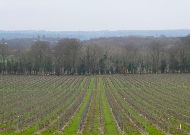
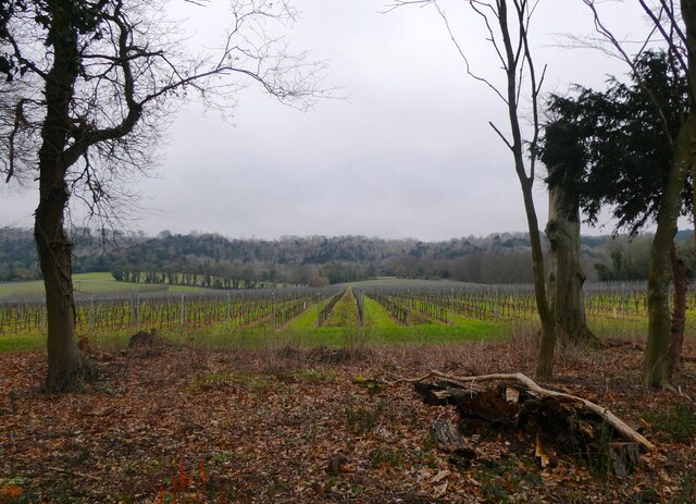
The Kent County Show Ground is located in Detling, Kent, England, and serves as a prominent venue for a variety of events throughout the year. Situated in the picturesque surroundings of the Kent Downs and Moorland, the show ground offers a stunning backdrop for its visitors.

Covering a vast area, the Kent County Show Ground is known for hosting the annual Kent County Show, which attracts thousands of visitors, showcasing the best of Kent's agriculture, livestock, and rural industries. The event features a range of activities and displays, including livestock competitions, equestrian shows, and craft exhibitions. It provides a platform for local farmers, businesses, and organizations to display their produce and services to a wide audience.

Aside from the Kent County Show, the show ground hosts a range of other events, such as trade fairs, outdoor concerts, and food festivals. Its versatile facilities include large exhibition halls, outdoor arenas, and ample parking space, making it an ideal venue for both indoor and outdoor events.

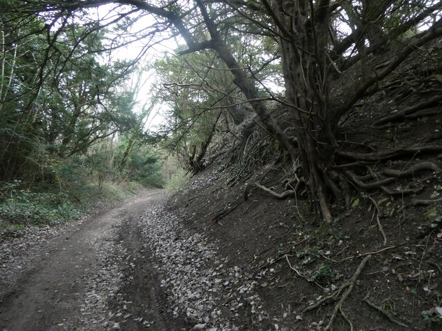
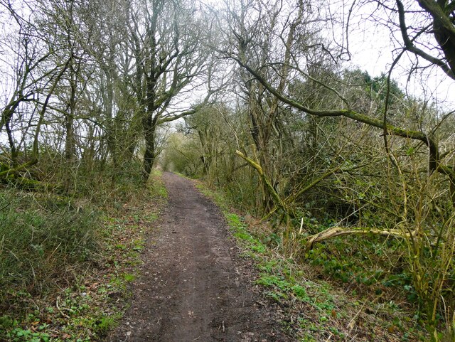
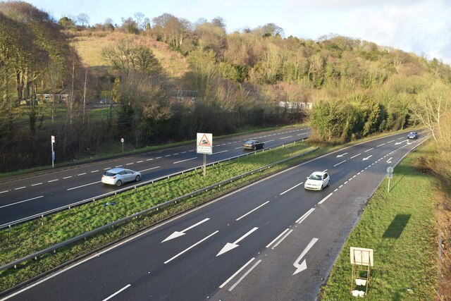
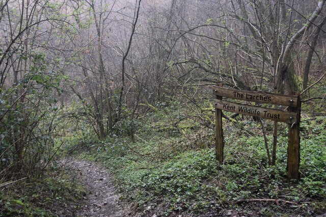
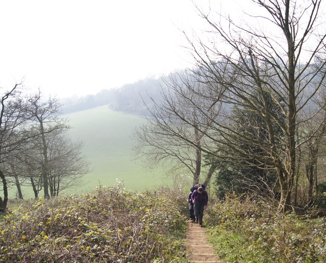
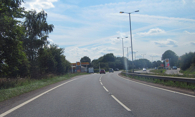
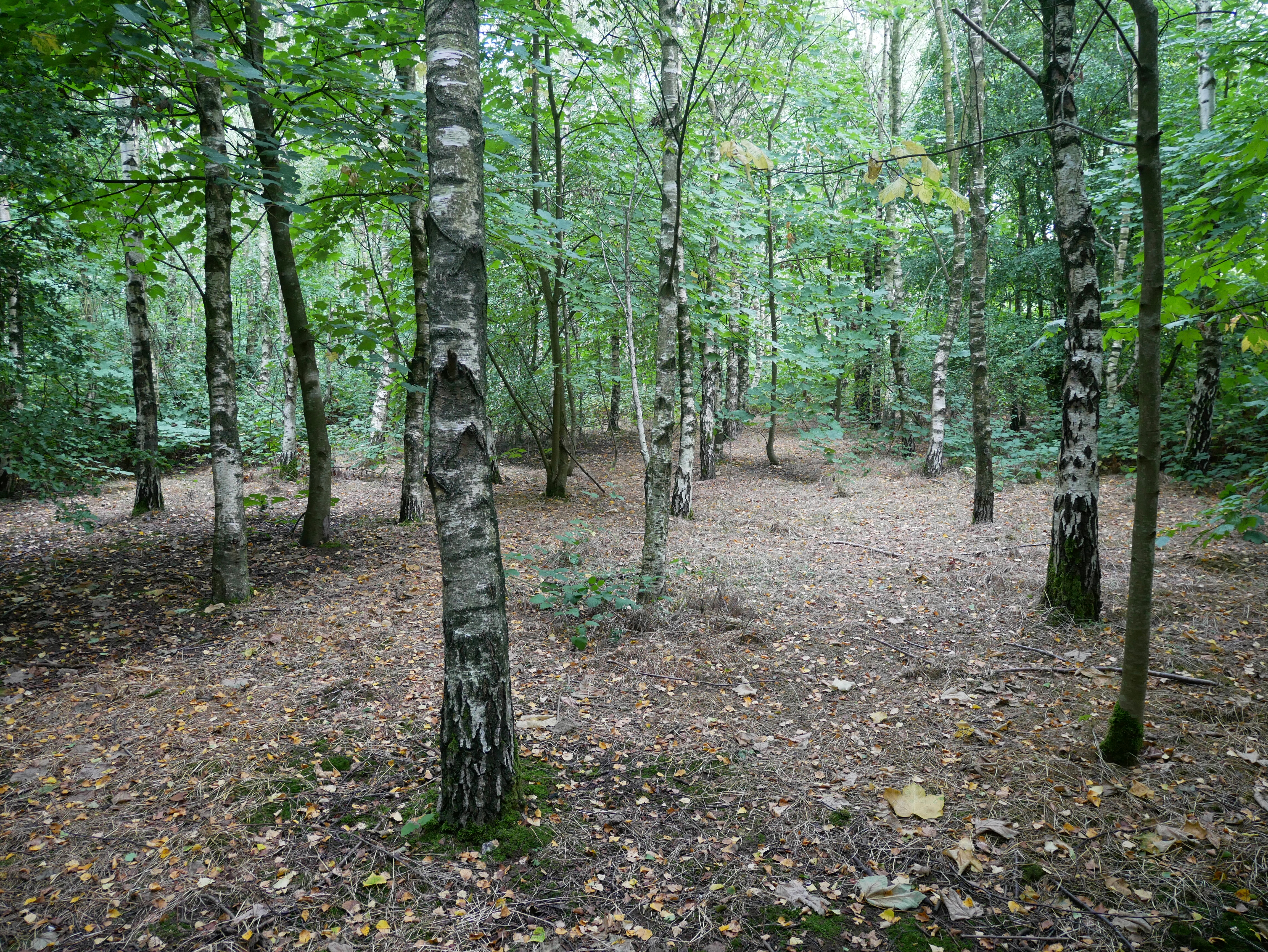
The Kent County Show Ground's location in the heart of Kent's countryside makes it easily accessible from nearby towns and cities. Its proximity to the Kent Downs and Moorland provides visitors with an opportunity to explore the beautiful countryside and enjoy outdoor activities, such as hiking and nature walks.

In summary, the Kent County Show Ground in Kent offers a diverse range of events and activities throughout the year, showcasing the best of Kent's agricultural and rural industries. With its picturesque surroundings and versatile facilities, it continues to attract locals and tourists alike.

If you have any feedback on the listing, please let us know in the comments section below.

Kent County Show Ground Images

Images are sourced within 2km of 51.302467/0.58699327 or Grid Reference TQ8059. Thanks to Geograph Open Source API. All images are credited.

Hermitage Lane, Detling A steep track leading to part of the North Downs Way to the west of the village.
Hermitage Lane, Detling
A steep track leading to part of the North Downs Way to the west of the village.
North Downs Way, near Detling
Farmland near Detling North west of the village by Pilgrims Way.
Farmland near Detling
North west of the village by Pilgrims Way.
Farmland near Detling Looking across to Pilgrims Way from the footpath running between Boxley Church and Harple Lane.
Farmland near Detling
Looking across to Pilgrims Way from the footpath running between Boxley Church and Harple Lane.
Timber-framed houses in The Street, Detling
A249 at Detling Hill Seen from the footbridge at <a href="https://www.geograph.org.uk/photo/3043084">TQ7958 : Jade's Crossing, Detling</a>
A249 at Detling Hill
Seen from the footbridge at TQ7958 : Jade's Crossing, Detling
Pilgrims Way, northwest of Detling On the right is an entrance to The Larches, an area of woodland managed by Kent Wildlife Trust.
Pilgrims Way, northwest of Detling
On the right is an entrance to The Larches, an area of woodland managed by Kent Wildlife Trust.
Detling Village from the south With the line of Detling Hill beyond.
Detling Village from the south
With the line of Detling Hill beyond.
Path into The Larches Area of woodland managed by Kent Wildlife Trust, seen on a very wet and misty morning.
Path into The Larches
Area of woodland managed by Kent Wildlife Trust, seen on a very wet and misty morning.
Steps on the North Downs Way A nice Spring day on the North Downs Way
Steps on the North Downs Way
A nice Spring day on the North Downs Way
The A249 The A249 is a road running from Maidstone to Sheerness on the Isle of Sheppey. It mainly functions as a link between the M2 and M20 motorways,up Detling Hill and for goods vehicle traffic to the port at Sheerness.
In 2006, an upgraded dual carriageway section opened between Iwade and Queenborough, including a new fixed crossing over the Swale. The existing lifting Kingsferry Bridge has been retained as an alternative route.
The old Sheppey way runs parallel to the new road.
Wikipedia: <span class="nowrap"><a title="http://en.wikipedia.org/wiki/A249_road" rel="nofollow ugc noopener" href="http://en.wikipedia.org/wiki/A249_road">Link</a><img style="margin-left:2px;" alt="External link" title="External link - shift click to open in new window" src="https://s1.geograph.org.uk/img/external.png" width="10" height="10"/></span>
The A249
The A249 is a road running from Maidstone to Sheerness on the Isle of Sheppey. It mainly functions as a link between the M2 and M20 motorways,up Detling Hill and for goods vehicle traffic to the port at Sheerness. In 2006, an upgraded dual carriageway section opened between Iwade and Queenborough, including a new fixed crossing over the Swale. The existing lifting Kingsferry Bridge has been retained as an alternative route. The old Sheppey way runs parallel to the new road. Wikipedia: LinkExternal link
Fuel Station, A249 The A249 is a road running from Maidstone to Sheerness on the Isle of Sheppey. It mainly functions as a link between the M2 and M20 motorways,up Detling Hill and for goods vehicle traffic to the port at Sheerness.
In 2006, an upgraded dual carriageway section opened between Iwade and Queenborough, including a new fixed crossing over the Swale. The existing lifting Kingsferry Bridge has been retained as an alternative route.
The old Sheppey way runs parallel to the new road.
Wikipedia: <span class="nowrap"><a title="http://en.wikipedia.org/wiki/A249_road" rel="nofollow ugc noopener" href="http://en.wikipedia.org/wiki/A249_road">Link</a><img style="margin-left:2px;" alt="External link" title="External link - shift click to open in new window" src="https://s1.geograph.org.uk/img/external.png" width="10" height="10"/></span>
Fuel Station, A249
The A249 is a road running from Maidstone to Sheerness on the Isle of Sheppey. It mainly functions as a link between the M2 and M20 motorways,up Detling Hill and for goods vehicle traffic to the port at Sheerness. In 2006, an upgraded dual carriageway section opened between Iwade and Queenborough, including a new fixed crossing over the Swale. The existing lifting Kingsferry Bridge has been retained as an alternative route. The old Sheppey way runs parallel to the new road. Wikipedia: LinkExternal link
The top of Detling Hill (A249) The A249 is a road running from Maidstone to Sheerness on the Isle of Sheppey. It mainly functions as a link between the M2 and M20 motorways,up Detling Hill and for goods vehicle traffic to the port at Sheerness.
In 2006, an upgraded dual carriageway section opened between Iwade and Queenborough, including a new fixed crossing over the Swale. The existing lifting Kingsferry Bridge has been retained as an alternative route.
The old Sheppey way runs parallel to the new road.
Wikipedia: <span class="nowrap"><a title="http://en.wikipedia.org/wiki/A249_road" rel="nofollow ugc noopener" href="http://en.wikipedia.org/wiki/A249_road">Link</a><img style="margin-left:2px;" alt="External link" title="External link - shift click to open in new window" src="https://s1.geograph.org.uk/img/external.png" width="10" height="10"/></span>
The top of Detling Hill (A249)
The A249 is a road running from Maidstone to Sheerness on the Isle of Sheppey. It mainly functions as a link between the M2 and M20 motorways,up Detling Hill and for goods vehicle traffic to the port at Sheerness. In 2006, an upgraded dual carriageway section opened between Iwade and Queenborough, including a new fixed crossing over the Swale. The existing lifting Kingsferry Bridge has been retained as an alternative route. The old Sheppey way runs parallel to the new road. Wikipedia: LinkExternal link
A259, Detling Hill
A259, Detling Hill
Thurnham Oast, Aldington Lane, Thurnham Twin round and two square kiln oast house. The two square kilns roof have been replaced with one conventional hipped roof over both.
Thurnham Oast, Aldington Lane, Thurnham
Twin round and two square kiln oast house. The two square kilns roof have been replaced with one conventional hipped roof over both.
Corn field near Thurnham Farm Cobham Oast House in distance.
Corn field near Thurnham Farm
Cobham Oast House in distance.
Crop field near Brickfield Cottages Beside bridleway past Civiley Wood.
Crop field near Brickfield Cottages
Beside bridleway past Civiley Wood.
Show me another place!

Kent County Show Ground is located at Grid Ref: TQ8059 (Lat: 51.302467, Lng: 0.58699327)

Administrative County: Kent

District: Maidstone

Police Authority: Kent

What 3 Words

///trudges.juniors.senders. Near Maidstone, Kent

Related Wikis

Kent Showground

The Kent Showground, formerly (and still colloquially) known as the Kent County Showground is an area of land in Detling, Kent, England, north of the county...

Kent County Show

The Kent County Show is an event hosted annually by the Kent County Agricultural Society at their Kent Showground headquarters at Detling near Maidstone...
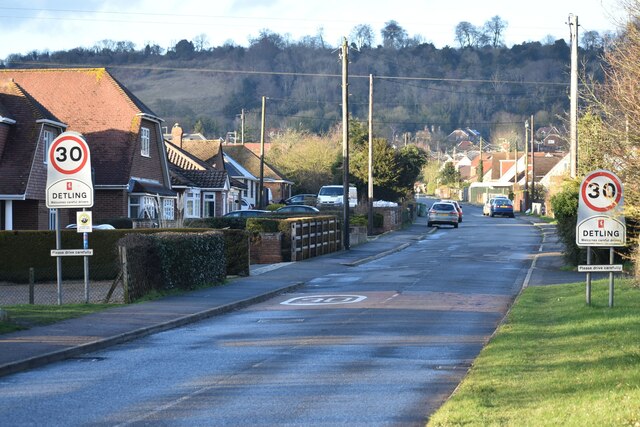
Detling Hill

Detling Hill is a hill forming part of the North Downs in Kent, north-east of Maidstone, and is situated in the Kent Downs Area of Outstanding Natural...

RAF Detling

Royal Air Force Detling, or more simply RAF Detling, is a former Royal Air Force station situated 600 feet (180 m) above sea level, located near Detling...

White Horse Wood

White Horse Wood is a recently created English country park near Thurnham to the north of Maidstone, Kent. Located within the Kent Downs Area of Outstanding...

Thurnham Castle

Thurnham Castle or Godard's Castle is situated to the north of the village of Thurnham which is 3 miles north-east of Maidstone, Kent (grid reference TQ...

Jade's Crossing

Jade's Crossing is a footbridge in Detling, Kent, England. The footbridge crosses the A249, a major road which runs between Maidstone and Sheerness. The...
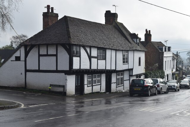
Thurnham, Kent

Thurnham is a village and civil parish which lies at the foot of the North Downs 3 miles (4.8 km) north east of Maidstone in the Borough of Maidstone and...

Nearby Amenities

Located within 500m of 51.302467,0.58699327
Hillfield
Building: yes
Source: npe
Lat/Long: 51.3022172/0.5801377
Bus Stop
Kent County Showground
Local Ref: adj
Naptan AtcoCode: 2400A036200A
Naptan Bearing: E
Naptan BusStopType: MKD
Naptan CommonName: Kent County Showground
Naptan Indicator: adj
Naptan Landmark: Kent County Showground
Naptan NaptanCode: kntdmptp
Naptan RevisionNumber: 7
Naptan ShortCommonName: County Showground
Naptan Status: act
Naptan Street: A249 Detling Hill
Naptan Verified: no
Public Transport: platform
Ref: kntdmptp
Shelter: no
Short Name: County Showground
Source: naptan_import
Source Date: 2018-06-05
Lat/Long: 51.2999476/0.5916146
Kent County Showground
Disused Highway: bus_stop
Disused Public Transport: platform
Local Ref: opp
Naptan AtcoCode: 2400A036260A
Naptan Bearing: W
Naptan BusStopType: MKD
Naptan CommonName: Kent County Showground
Naptan Indicator: opp
Naptan Landmark: Kent County Showground
Naptan NaptanCode: kntdmpwm
Naptan RevisionNumber: 8
Naptan ShortCommonName: County Showground
Naptan Status: del
Naptan Street: A249 Detling Hill
Naptan Verified: no
Ref: kntdmpwm
Short Name: County Showground
Source: naptan_import
Source Date: 2019-01-28
Lat/Long: 51.2993197/0.585439
Parking
Parking: street_side
Lat/Long: 51.2995698/0.5894656
Addr City: Detling
Addr Postcode: ME14 3HB
Addr Street: Scragged Oak Road
Operator: Detling Coach House
Tourism: guest_house
Website: http://www.detlingcoachhouse.co.uk/
Lat/Long: 51.302163/0.5801884
Bench
Colour: gray
Material: wood
Seats: 3
Lat/Long: 51.2983583/0.5876572
Bus Stop
Kent County Showground
Local Ref: in
Naptan AtcoCode: 2400105253
Naptan Bearing: W
Naptan BusStopType: CUS
Naptan CommonName: Kent County Showground
Naptan Indicator: in
Naptan Landmark: Kent County Showground
Naptan NaptanCode: kntjtadj
Naptan RevisionNumber: 4
Naptan ShortCommonName: County Showground
Naptan Status: act
Naptan Street: Kent County Showground
Naptan Verified: no
Public Transport: platform
Ref: kntjtadj
Short Name: County Showground
Sign: no
Source: naptan_import
Source Date: 2018-06-05
Lat/Long: 51.3014715/0.5849287
Detling Hill
Ele: 202
Natural: peak
Lat/Long: 51.2984897/0.5856276
The data included in this document is from www.openstreetmap.org. The data is made available under ODbL.

Have you been to Kent County Show Ground?

Leave your review of Kent County Show Ground below (or comments, questions and feedback).