Beechamwell Warren
Downs, Moorland in Norfolk Breckland
England
Beechamwell Warren

Beechamwell Warren is a picturesque area located in Norfolk, England. Situated in the eastern part of the county, it is known for its stunning downs and moorland landscapes. This natural haven is a favorite among nature enthusiasts, offering a diverse range of flora and fauna.
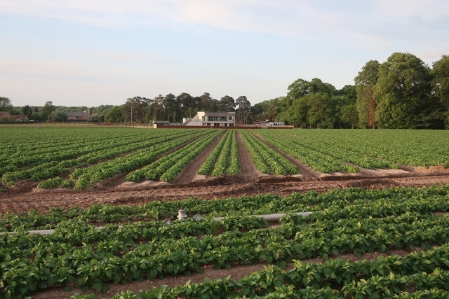
The downs of Beechamwell Warren present visitors with rolling hills and expansive grasslands. These open spaces are perfect for leisurely walks, picnics, or even horse riding. The downs are characterized by their short grasses and occasional clusters of trees, providing a serene environment for relaxation and exploration.
Moorland is another prominent feature of Beechamwell Warren. This unique habitat is home to a variety of heather, gorse, and grasses. The moorland landscape is interspersed with small ponds and wet areas, attracting a wide range of bird species. Birdwatchers can spot common species such as curlews, lapwings, and skylarks, as well as some rarer breeds.
The area is also known for its rich history. Archaeological remains such as barrows and ancient settlements can be found throughout Beechamwell Warren, providing insight into its past. These remnants serve as a reminder of the area's long-standing human presence and offer a fascinating glimpse into its ancient roots.
Overall, Beechamwell Warren in Norfolk boasts a beautiful combination of downs, moorland, and historical significance. Whether visitors are seeking a tranquil walk, a birdwatching adventure, or a glimpse into the past, this natural gem has something to offer for everyone.
If you have any feedback on the listing, please let us know in the comments section below.
Beechamwell Warren Images
Images are sourced within 2km of 52.635185/0.59073937 or Grid Reference TF7507. Thanks to Geograph Open Source API. All images are credited.


Beechamwell Warren is located at Grid Ref: TF7507 (Lat: 52.635185, Lng: 0.59073937)
Administrative County: Norfolk
District: Breckland
Police Authority: Norfolk
What 3 Words
///radically.honeybees.clots. Near Narborough, Norfolk
Nearby Locations
Related Wikis
Beachamwell
Beachamwell is a village and civil parish in the Breckland district of Norfolk, England about 5 miles (8.0 km) south west of Swaffham and 10 miles (16...

RAF Marham
Royal Air Force Marham, commonly abbreviated RAF Marham (IATA: KNF, ICAO: EGYM) is a Royal Air Force station and military airbase near the village of Marham...
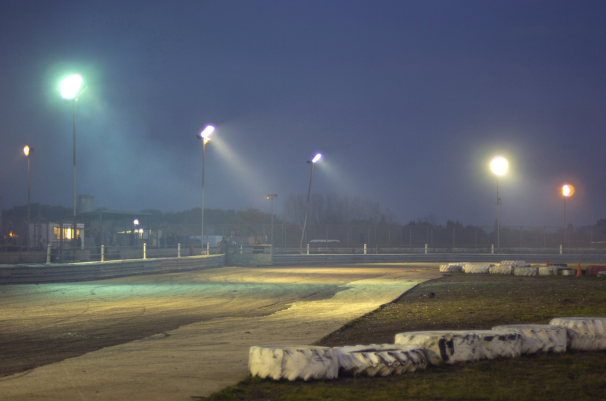
Swaffham Raceway
Swaffham Raceway, originally Swaffham Stadium, is a stock car and banger racing circuit in Swaffham, Norfolk, which also hosted greyhound racing from 1987...
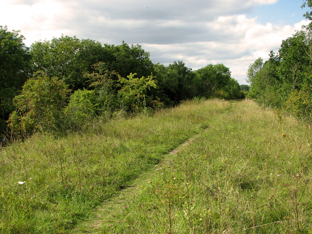
Narborough Railway Line
Narborough Railway Line or Narborough Railway Embankment is a 7.9-hectare (20-acre) biological Site of Special Scientific Interest south-east of King's...
Related Videos

Wild Knight English Vodka fermenting, creating precious alcohol
Turn up the sound. Put your ear close and listen to the sound of alcohol being created. This is our Wild Knight English Vodka wort ...
Nearby Amenities
Located within 500m of 52.635185,0.59073937Have you been to Beechamwell Warren?
Leave your review of Beechamwell Warren below (or comments, questions and feedback).