Branches Park

Downs, Moorland in Suffolk West Suffolk

England

Branches Park

A Suffolk crossroads This is where a narrow lane from Hobbles Green to Kirtling (ahead) crosses the road from Great Bradley to Cowlinge (right). Late summer or early autumn? The trees hint at both.
A Suffolk crossroads Credit: John Sutton

Branches Park, Suffolk is a picturesque park located in the heart of the county. It is spread across a vast expanse of land, encompassing both downs and moorland areas, making it a haven for nature lovers and outdoor enthusiasts.

The park is known for its diverse and abundant wildlife, with various species of birds, mammals, and reptiles calling it home. Visitors can enjoy spotting rare and beautiful creatures such as red deer, adders, and skylarks as they explore the park's many trails and pathways.

The downs area of Branches Park is characterized by rolling hills and sweeping vistas, offering breathtaking views of the surrounding countryside. It is a popular spot for hiking and picnicking, with numerous picnic areas and benches scattered throughout the park. The moorland section, on the other hand, boasts a unique and rugged landscape, with heather-covered hills and marshy areas. It provides a different experience for visitors, who can immerse themselves in the tranquility of this untouched natural habitat.

Branches Park also offers several recreational facilities, including a children's playground, a fishing lake, and a visitor center. The playground is equipped with various play structures, ensuring that children of all ages can enjoy themselves. The fishing lake is stocked with a variety of fish species, providing a peaceful retreat for fishing enthusiasts.

Overall, Branches Park, Suffolk is a remarkable destination for those seeking to connect with nature and enjoy the beauty of the Suffolk countryside. With its diverse wildlife, stunning landscapes, and recreational amenities, it offers something for everyone to enjoy.

If you have any feedback on the listing, please let us know in the comments section below.

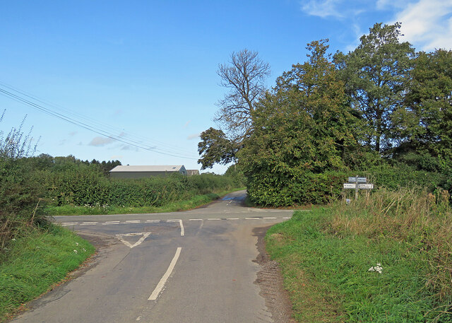
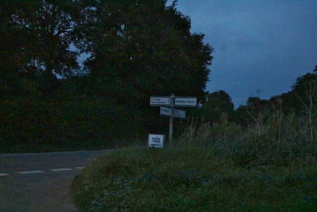
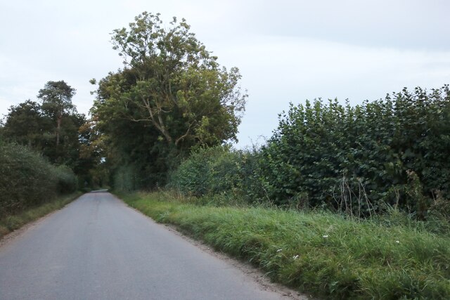
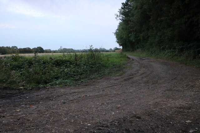
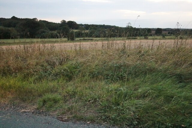
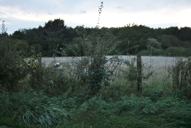
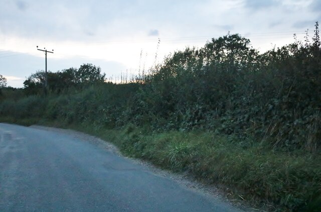
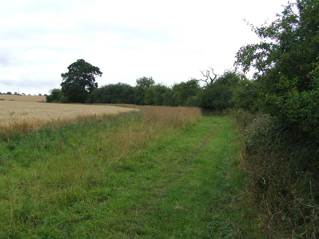
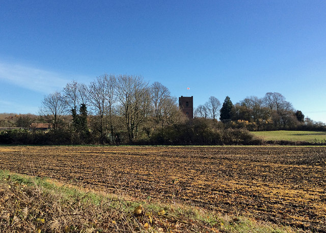
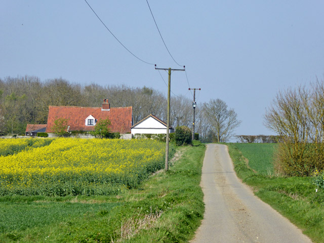
Branches Park Images

Images are sourced within 2km of 52.168098/0.49667559 or Grid Reference TL7055. Thanks to Geograph Open Source API. All images are credited.

A Suffolk crossroads This is where a narrow lane from Hobbles Green to Kirtling (ahead) crosses the road from Great Bradley to Cowlinge (right). Late summer or early autumn? The trees hint at both.
A Suffolk crossroads
This is where a narrow lane from Hobbles Green to Kirtling (ahead) crosses the road from Great Bradley to Cowlinge (right). Late summer or early autumn? The trees hint at both.
Queen Street, Cowlinge
Junction on Bradley Road, Cowlinge
Cowlinge war memorial
Elms Road, Pound Green
Mill Farm, Pound Green
Bradley Road, Cowlinge
Field by Bradley Road, Cowlinge
Field by Trotting Horse Lane, Lambfair Green
View from The Belt near Lidgate Looking towards Newmarket Road
View from The Belt near Lidgate
Looking towards Newmarket Road
Woods by Newmarket Road near Cowlinge
Newmarket Road, Cowlinge
Footpath Footpath and field boundary near to Cowlinge, Suffolk.
Footpath
Footpath and field boundary near to Cowlinge, Suffolk.
Towards Cowlinge Church This was an almost unreally bright morning in late November. The brick tower of the parish church, which stands apart from the village, dates from 1733.
Towards Cowlinge Church
This was an almost unreally bright morning in late November. The brick tower of the parish church, which stands apart from the village, dates from 1733.
Cowlinge: noisy sheep at Erratts Farm Park in a gateway to take a picture of a church (behind the camera) and the chances are the sheep on the other side of the field will come to talk to you. Part of Pond Plantation forms the backdrop. This was an especially mild and sunny morning in late November.
Cowlinge: noisy sheep at Erratts Farm
Park in a gateway to take a picture of a church (behind the camera) and the chances are the sheep on the other side of the field will come to talk to you. Part of Pond Plantation forms the backdrop. This was an especially mild and sunny morning in late November.
Mot's End The lane does a right-angled bend to the left around the house. The house, from about 1700, is a grade II listed building. It is described as having a thatched roof, which is not the case now.
Mot's End
The lane does a right-angled bend to the left around the house. The house, from about 1700, is a grade II listed building. It is described as having a thatched roof, which is not the case now.
Capley Wood Lane meets Newmarket Road The signpost just has one finger, pointing back down the lane to Farley Green.
Capley Wood Lane meets Newmarket Road
The signpost just has one finger, pointing back down the lane to Farley Green.
Newmarket Road Heading north.
Newmarket Road
Heading north.
Show me another place!

Branches Park is located at Grid Ref: TL7055 (Lat: 52.168098, Lng: 0.49667559)

Administrative County: Suffolk

District: West Suffolk

Police Authority: Suffolk

What 3 Words

///trickster.sentences.stunner. Near Kedington, Suffolk

Nearby Locations

Branches Park

Related Wikis

Cowlinge

Cowlinge (/ˈkuː.lɪnʤ/), pronounced "Coolinje", is a village and civil parish in the West Suffolk district of Suffolk in eastern England close to the Cambridgeshire...

Lidgate

Lidgate is a small village and a civil parish in the West Suffolk district, in the English county of Suffolk. Lidgate is located on the B1063 road in between...

Kirtling

Kirtling, together with Kirtling Green and Kirtling Towers, is a scattered settlement in the south-eastern edge of the English county of Cambridgeshire...

Upend

Upend is a hamlet in the east of Cambridgeshire. It is five miles (8.0 km) south-east of Newmarket and lies in the same parish as Kirtling. Until the...

Nearby Amenities

Located within 500m of 52.168098,0.49667559
Power: pole
Lat/Long: 52.1707864/0.4910846
Power: pole
Lat/Long: 52.170446/0.4922832
Power: pole
Lat/Long: 52.1700856/0.4941558
Power: pole
Lat/Long: 52.1702124/0.4935023
The data included in this document is from www.openstreetmap.org. The data is made available under ODbL.

Have you been to Branches Park?

Leave your review of Branches Park below (or comments, questions and feedback).