Derby Fen

Downs, Moorland in Norfolk King's Lynn and West Norfolk

England

Derby Fen

Well Hall Lane, Ashwicken near King's Lynn
Well Hall Lane, Ashwicken near King's Lynn Credit: Richard Humphrey

Derby Fen is a picturesque area located in Norfolk, England. It is known for its diverse landscapes, consisting of downs, moorland, and marshes. Stretching over a vast expanse, Derby Fen offers visitors a unique experience of Norfolk's natural beauty.

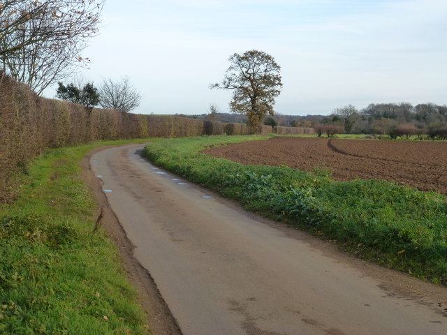
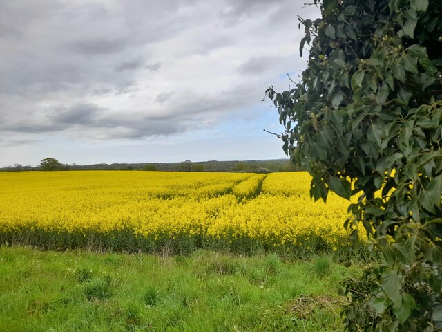
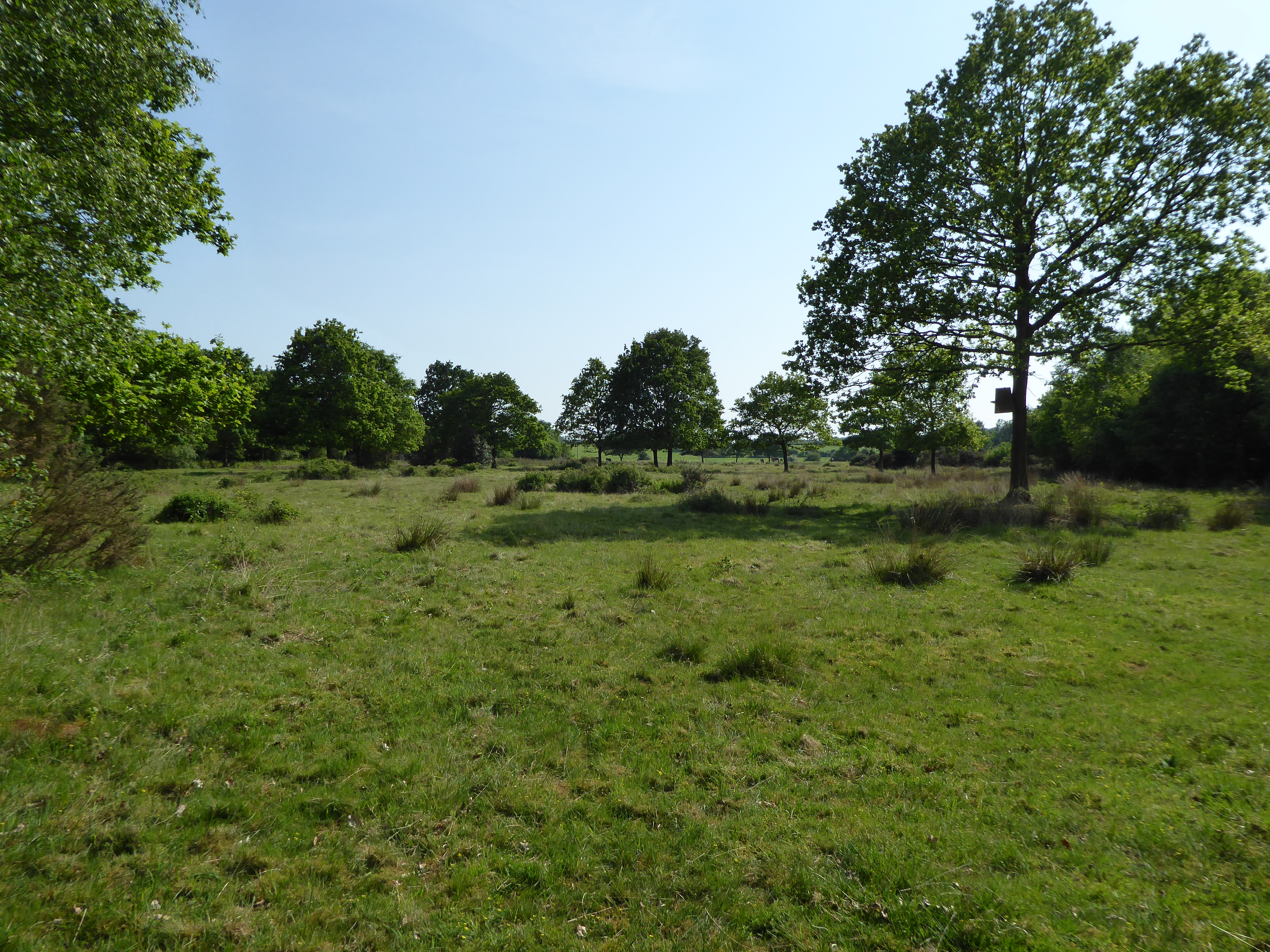
The downs in Derby Fen are characterized by rolling hills and open grasslands. These breathtaking vistas provide a perfect setting for outdoor activities such as hiking, picnicking, and birdwatching. The downs are home to a variety of plant and animal species, including wildflowers and grazing livestock.

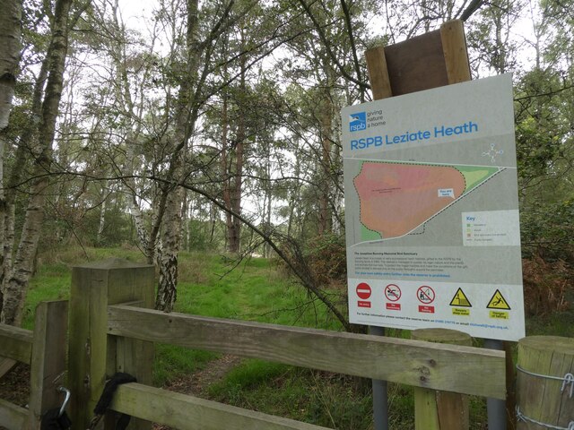
The moorland in Derby Fen showcases a different facet of the area's biodiversity. Here, visitors can explore heathlands and peat bogs, with their distinct flora and fauna. Moorland birds like the curlew and lapwing are commonly spotted, along with rare species such as the Norfolk hawker dragonfly.

The marshes of Derby Fen add yet another dimension to its natural wonders. These wetlands are teeming with life, providing a habitat for a wide range of waterfowl, wading birds, and aquatic plants. The marshes also attract migratory birds, making it a popular destination for bird enthusiasts.

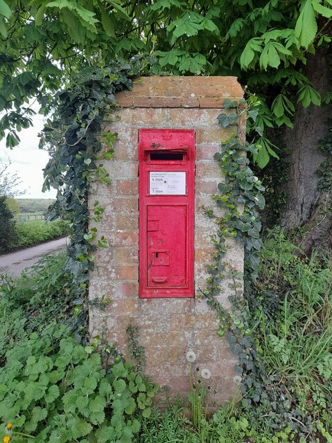
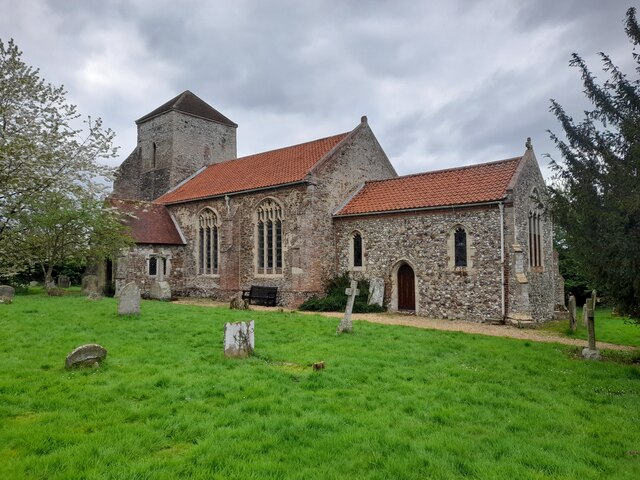
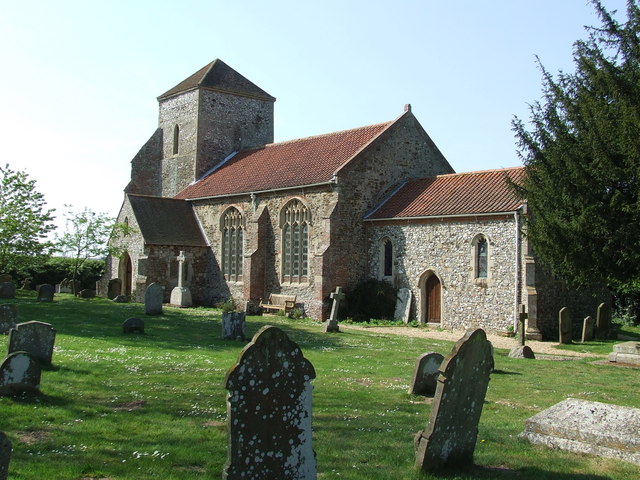
In addition to its natural beauty, Derby Fen offers historical and cultural attractions. The area is dotted with ancient archaeological sites, including Bronze Age barrows and Iron Age forts. Visitors can also explore charming villages nearby, which showcase traditional Norfolk architecture and offer a glimpse into the region's rich heritage.

Overall, Derby Fen, Norfolk, is a captivating destination that seamlessly blends stunning landscapes, diverse ecosystems, and historical significance. It is a must-visit for nature lovers, history enthusiasts, and anyone seeking a tranquil escape in the heart of Norfolk.

If you have any feedback on the listing, please let us know in the comments section below.

Derby Fen Images

Images are sourced within 2km of 52.757242/0.52156062 or Grid Reference TF7020. Thanks to Geograph Open Source API. All images are credited.

Well Hall Lane, Ashwicken near King's Lynn
Postbox at Ashwicken PE32 75. Royal Mail list this box as 'Ashwicken'.
Postbox at Ashwicken
PE32 75. Royal Mail list this box as 'Ashwicken'.
Looking along Leziate Drove towards the B1145 During a great walking week-end in Norfolk with two friends from my school days (1972 - 1979) there were times when I nipped off in the car to look at churches and other historical features: these are they!
Looking along Leziate Drove towards the B1145
During a great walking week-end in Norfolk with two friends from my school days (1972 - 1979) there were times when I nipped off in the car to look at churches and other historical features: these are they!
Nature reserve at Brow of the Hill
A Glimpse of Norfolk Near Ashwicken.
A Glimpse of Norfolk
Near Ashwicken.
All Saints, Ashwicken I was particularly taken with this charming rural church.
All Saints, Ashwicken
I was particularly taken with this charming rural church.
All Saints, Ashwicken An interior view of this charming rural church.
All Saints, Ashwicken
An interior view of this charming rural church.
All Saints, Ashwicken A view of the charming west window.
All Saints, Ashwicken
A view of the charming west window.
OS Benchmark Recorded on Benchmark Database as 'Ashwicken, All Saints Church'.
OS Benchmark
Recorded on Benchmark Database as 'Ashwicken, All Saints Church'.
Barn at Vong Farm, east of Pott Row And geese
Barn at Vong Farm, east of Pott Row
And geese
Snow on Vong Lane Grimston PE32 1BN Photo taken from the shelter of our house facing Vong Lane.
Snow on Vong Lane Grimston PE32 1BN
Photo taken from the shelter of our house facing Vong Lane.
Pott Row village sign Pott Row village sign on the junction between Chapel Road and Cliffe-en-Howe Road.
Pott Row village sign
Pott Row village sign on the junction between Chapel Road and Cliffe-en-Howe Road.
Pott Row village sign
Green in Pott Row This isn't the main village green, but a small subsidiary one.  The flat object in the middle is apparently a shoeing platform on which cart wheels once had their metal tyres fitted.
Green in Pott Row
This isn't the main village green, but a small subsidiary one. The flat object in the middle is apparently a shoeing platform on which cart wheels once had their metal tyres fitted.
By Road - West of the B1153 Looking East-North-East. This short stretch of road is just within the relevant grid square - the narrow copse on the right starts here and runs on around the bend and into the next square.
By Road - West of the B1153
Looking East-North-East. This short stretch of road is just within the relevant grid square - the narrow copse on the right starts here and runs on around the bend and into the next square.
Council-built houses, Grimston View west
Council-built houses, Grimston
View west
Near Boughmore Farm There is a public footpath (and farm access) to the left
Near Boughmore Farm
There is a public footpath (and farm access) to the left
Border Lane Farm Access The access is also a public footpath.
Border Lane Farm Access
The access is also a public footpath.
Show me another place!

Derby Fen is located at Grid Ref: TF7020 (Lat: 52.757242, Lng: 0.52156062)

Administrative County: Norfolk

District: King's Lynn and West Norfolk

Police Authority: Norfolk

What 3 Words

///blinks.extensive.flinches. Near Grimston, Norfolk

Nearby Locations

Leziate Fen Derby Fen

Related Wikis

Leziate, Sugar and Derby Fens

Leziate, Sugar and Derby Fens is an 87.9-hectare (217-acre) biological Site of Special Scientific Interest east of King's Lynn in Norfolk.These fens...

Pott Row

Pott Row is an expanding village near King's Lynn, Norfolk. It is the western part of the civil and ecclesiastical Parish of Grimston. Pott Row and neighbouring...

Ashwicken

Ashwicken is a small village and former civil parish, now in the parish of Leziate, in the King's Lynn and West Norfolk district, in the county of Norfolk...

Roydon, King's Lynn and West Norfolk

Roydon is a small village, civil parish and electoral ward east of King's Lynn in the English county of Norfolk. It covers an area of 4.62 km2 (1.78 sq...

Nearby Amenities

Located within 500m of 52.757242,0.52156062
The data included in this document is from www.openstreetmap.org. The data is made available under ODbL.

Have you been to Derby Fen?

Leave your review of Derby Fen below (or comments, questions and feedback).