Broad Belt
Downs, Moorland in Norfolk King's Lynn and West Norfolk
England
Broad Belt

The requested URL returned error: 429 Too Many Requests
If you have any feedback on the listing, please let us know in the comments section below.
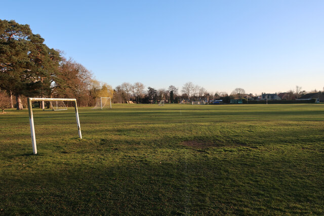
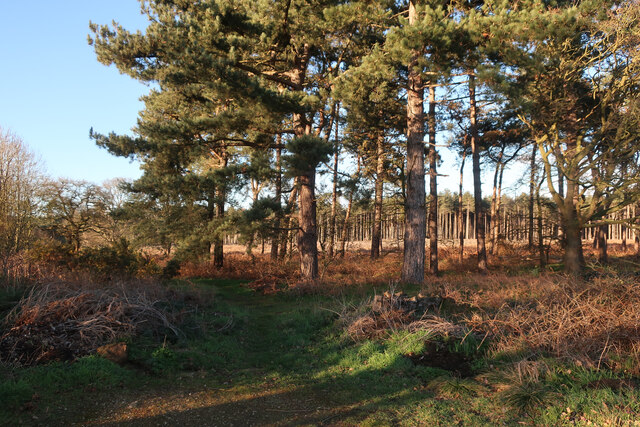
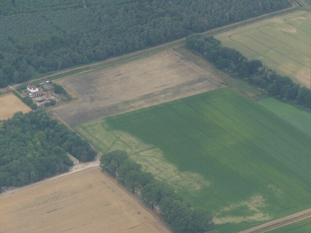
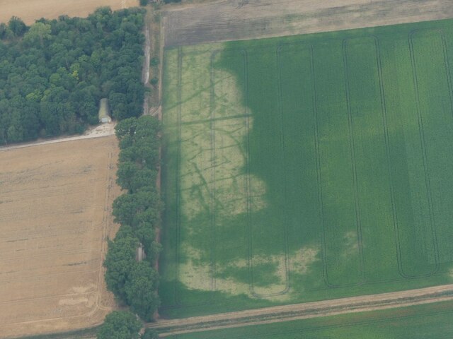
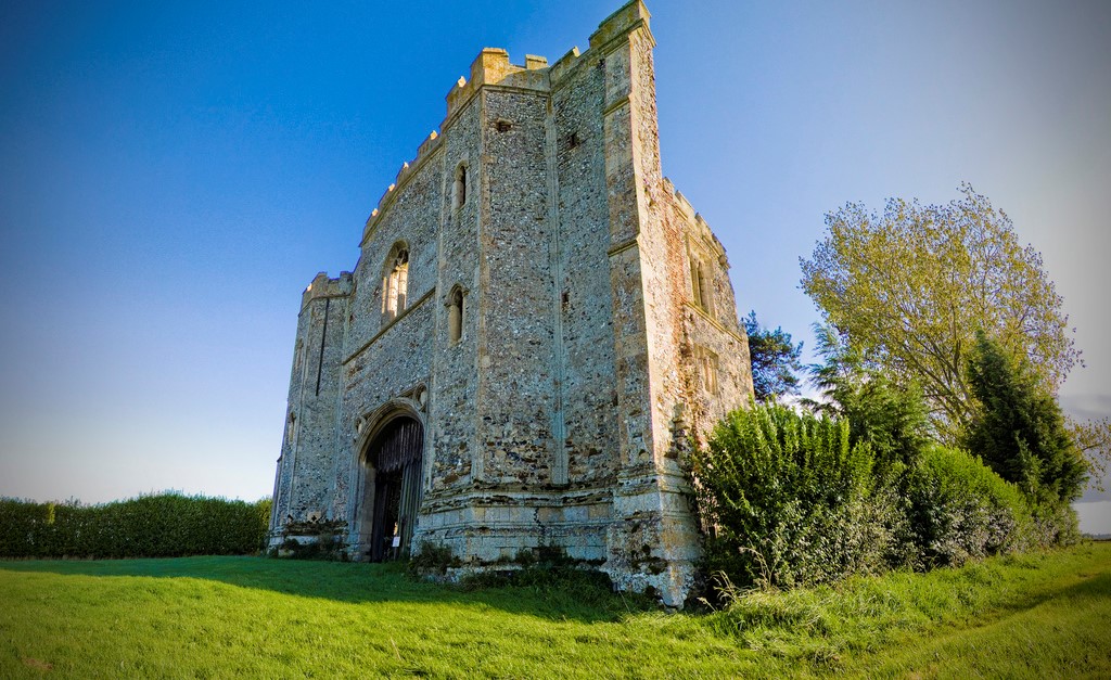
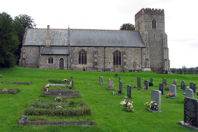
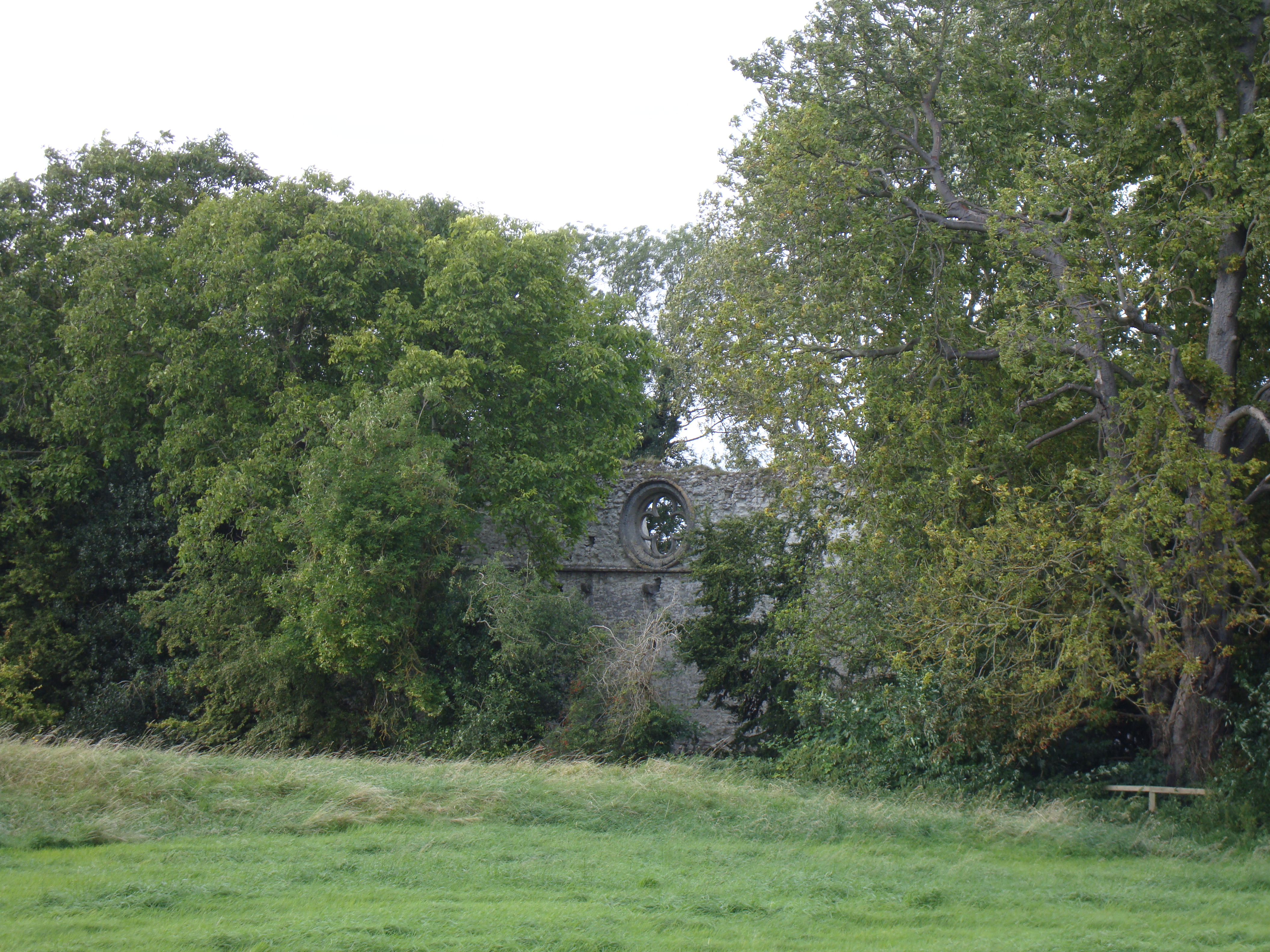
Broad Belt Images
Images are sourced within 2km of 52.671782/0.49184355 or Grid Reference TF6811. Thanks to Geograph Open Source API. All images are credited.


Broad Belt is located at Grid Ref: TF6811 (Lat: 52.671782, Lng: 0.49184355)
Administrative County: Norfolk
District: King's Lynn and West Norfolk
Police Authority: Norfolk
What 3 Words
///speared.palm.clattered. Near Narborough, Norfolk
Nearby Locations
Related Wikis
Pentney Priory
Pentney Priory was an Augustinian priory at Pentney in the district of King's Lynn and West Norfolk, Norfolk, England. The ruins of the priory, mostly...
Shouldham
Shouldham is a village and civil parish in the English county of Norfolk. It covers an area of 16.04 km2 (6.19 sq mi) and had a population of 608 in 246...
Marham Abbey
Marham Abbey was situated in the village of Marham, southeast of King's Lynn, Norfolk, England. It was founded by Isabel, Countess of Arundel, in 1249...

Wormegay
Wormegay is a civil parish in the English county of Norfolk. The village is situated some 9 kilometres (5.6 miles) south of King's Lynn and 60 km (37 mi...
Have you been to Broad Belt?
Leave your review of Broad Belt below (or comments, questions and feedback).