Balintraid

Settlement in Ross-shire

Scotland

Balintraid

Barbaraville Pond Ducks on a pond in Barbraville, near the shore.
Barbaraville Pond Credit: John MacKenzie

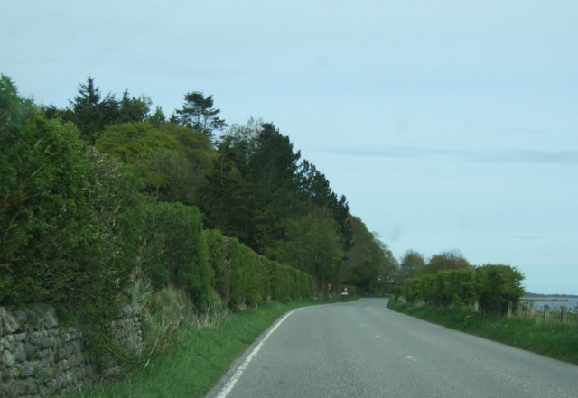
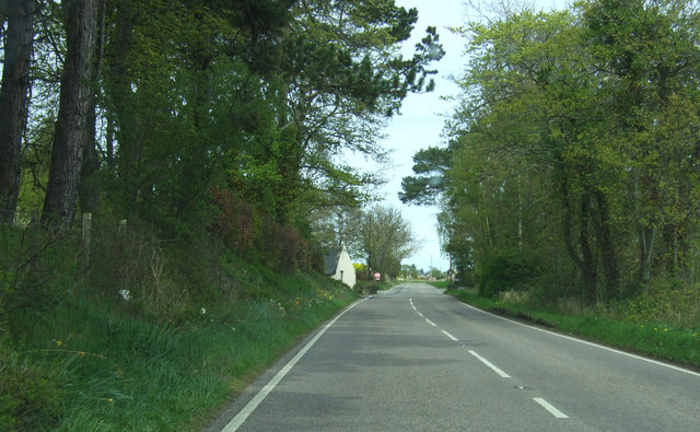
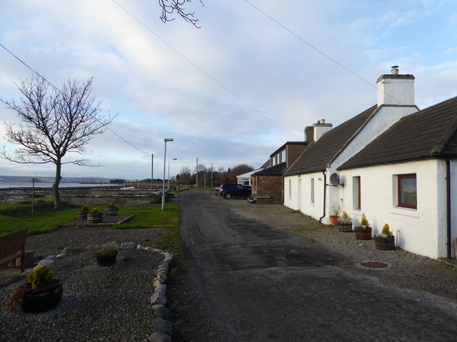
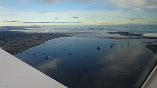
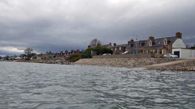
Balintraid is a small village located in Ross-shire, Scotland. Situated on the shores of the Cromarty Firth, Balintraid offers stunning views of the surrounding countryside and waterways. The village is known for its picturesque setting and tranquil atmosphere, making it a popular destination for those seeking a peaceful retreat.

Balintraid is home to a small community of residents, many of whom are involved in fishing and agriculture. The village has a few amenities, including a local pub and a small convenience store, but most residents travel to nearby towns for shopping and other services.

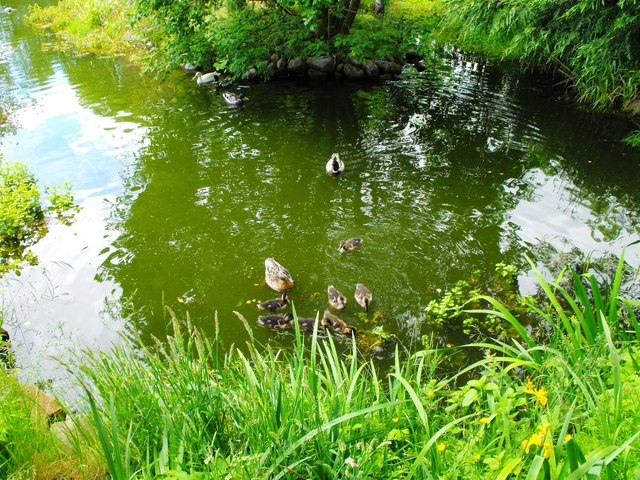
The area surrounding Balintraid is rich in natural beauty, with rolling hills, forests, and waterways all within close proximity. Outdoor enthusiasts can enjoy hiking, fishing, and birdwatching in the area, while history buffs can explore the nearby historic sites and ruins.

Overall, Balintraid is a charming village that offers a quiet and idyllic setting for those looking to escape the hustle and bustle of city life. Its stunning scenery and peaceful atmosphere make it a hidden gem in the Scottish Highlands.

If you have any feedback on the listing, please let us know in the comments section below.
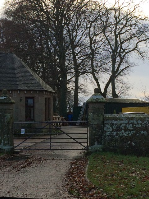
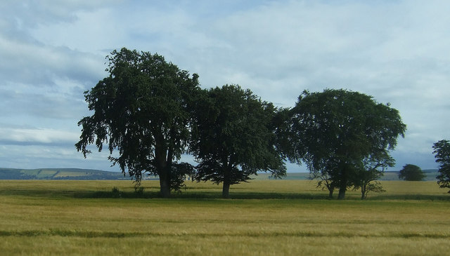
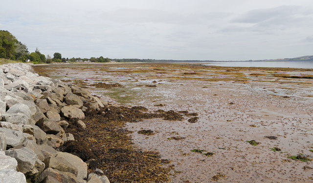
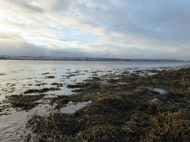
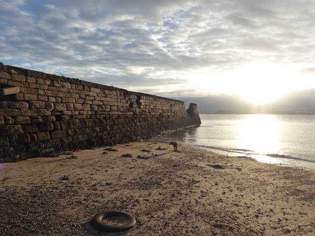
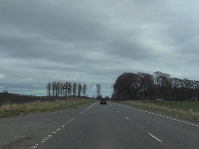
Balintraid Images

Images are sourced within 2km of 57.708473/-4.123487 or Grid Reference NH7370. Thanks to Geograph Open Source API. All images are credited.

Barbaraville Pond Ducks on a pond in Barbraville, near the shore.
Barbaraville Pond
Ducks on a pond in Barbraville, near the shore.
Coastal road (B817) Heading north east towards Balintraid.
Coastal road (B817)
Heading north east towards Balintraid.
Nearing Balintraid Heading north east on the B817.
Nearing Balintraid
Heading north east on the B817.
Coastal road, Pollo B817 heading north east.
Coastal road, Pollo
B817 heading north east.
Entering Barbaraville On the B817.
Entering Barbaraville
On the B817.
Mistweave Lodge
Mistweave Lodge
Trees in field near Pollo
Shoreline by Barbaraville Close to Balintraid and Pollo, looking along the shore towards Barbaraville. The tide is quite far out, revealing a large area of mudflats around Nigg Bay.

The B817 road runs along on the left, at the top of the rock revetments.
Shoreline by Barbaraville
Close to Balintraid and Pollo, looking along the shore towards Barbaraville. The tide is quite far out, revealing a large area of mudflats around Nigg Bay. The B817 road runs along on the left, at the top of the rock revetments.
Seaweed covered rocks on the foreshore at Balintraid Pier
Sea defences near Balintraid Pier
Derelict pier at Balintraid
Cottages at Barbaraville
View over fields at Broomhill A cruise ship is at the Invergordon pier.
View over fields at Broomhill
A cruise ship is at the Invergordon pier.
A9 near Delny
A9 near Delny
Fields beside the A9 Seen from the lay-by near Broomhill.
Fields beside the A9
Seen from the lay-by near Broomhill.
Oil Rigs in the Cromarty Firth Seeven of the eight rigs or platforms currently doing nothing in the Cromarty Firth. In the distance, mostly beneath the low cloud, is Nigg Bay.
Oil Rigs in the Cromarty Firth
Seeven of the eight rigs or platforms currently doing nothing in the Cromarty Firth. In the distance, mostly beneath the low cloud, is Nigg Bay.
Arable land at Ord
Arable land at Ord
Boundary wall northwest of Balintraid
Show me another place!

Balintraid is located at Grid Ref: NH7370 (Lat: 57.708473, Lng: -4.123487)

Unitary Authority: Highland

Police Authority: Highlands and Islands

What 3 Words

///ratio.amber.booklets. Near Invergordon, Highland

Nearby Locations

Balintraid

Related Wikis

Balintraid

Balintraid (Scottish Gaelic: Baile na TrĂ ghad) is an industrial settlement, which was built largely in the 1970s with the growth of the North Sea oil...

Saltburn, Ross and Cromarty

Saltburn (Scottish Gaelic: Allt an t-Salainn) is a long linear coastal village, which is situated on the northern shore of the Cromarty Firth, in Ross...
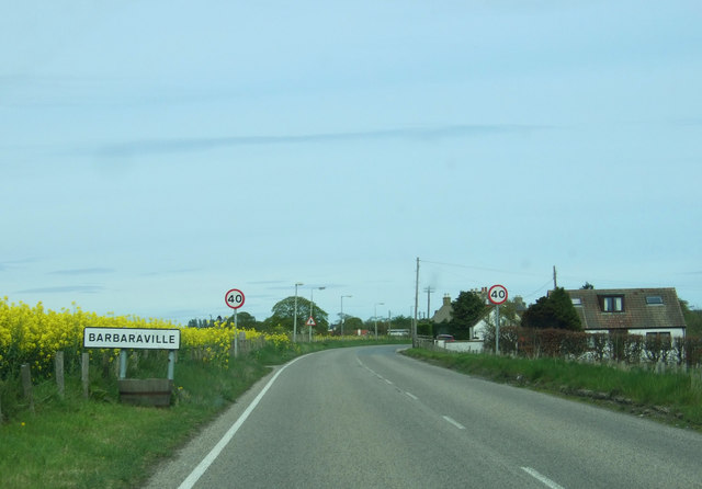
Barbaraville

Barbaraville (Scottish Gaelic: An Cladach) is a small settlement on the north shore of Nigg Bay in the Cromarty Firth in the Highland council area of Scotland...

Delny railway station

Delny railway station served the hamlet of Delny, Ross-shire, Scotland from 1864 to 1964 on the Inverness and Ross-shire Railway. == History == The station...

Nearby Amenities

Located within 500m of 57.708473,-4.123487
Source: PGS
Lat/Long: 57.7051559/-4.1291588
Source: PGS
Lat/Long: 57.7052849/-4.1289228
Source: PGS
Lat/Long: 57.7054159/-4.1286888
Source: PGS
Lat/Long: 57.7055449/-4.1284528
Source: PGS
Lat/Long: 57.7056759/-4.1282188
Source: PGS
Lat/Long: 57.7058059/-4.1279818
Source: PGS
Lat/Long: 57.7059359/-4.1277478
Source: PGS
Lat/Long: 57.7060996/-4.1276439
Source: PGS
Lat/Long: 57.7062472/-4.1274019
Source: PGS
Lat/Long: 57.7065923/-4.1268157
Source: PGS
Lat/Long: 57.7067763/-4.1264879
Source: PGS
Lat/Long: 57.7071265/-4.1259617
Source: PGS
Lat/Long: 57.707291/-4.1256875
Source: PGS
Lat/Long: 57.7074655/-4.125429
Source: PGS
Lat/Long: 57.7076292/-4.1248775
Source: PGS
Lat/Long: 57.7079232/-4.1243234
Source: PGS
Lat/Long: 57.7080179/-4.1239858
Source: PGS
Lat/Long: 57.708127/-4.1237875
Source: PGS
Lat/Long: 57.7082779/-4.1235158
Source: PGS
Lat/Long: 57.7083316/-4.1232746
Source: PGS
Lat/Long: 57.7085772/-4.1224994
Source: PGS
Lat/Long: 57.7088778/-4.1218997
Source: PGS
Lat/Long: 57.7090652/-4.1214936
Source: PGS
Lat/Long: 57.709197/-4.1211519
Source: PGS
Lat/Long: 57.7093739/-4.1208198
Source: PGS
Lat/Long: 57.7094773/-4.1205844
Source: PGS
Lat/Long: 57.7095748/-4.1202427
Source: PGS
Lat/Long: 57.7099324/-4.1194938
Source: PGS
Lat/Long: 57.7102419/-4.1185538
Source: PGS
Lat/Long: 57.7103276/-4.1183453
Source: PGS
Lat/Long: 57.7104018/-4.1181248
Source: PGS
Lat/Long: 57.7105027/-4.1178576
Source: PGS
Lat/Long: 57.7106978/-4.1173705
Source: PGS
Lat/Long: 57.7110259/-4.1166638
Balintraid
Place: hamlet
Lat/Long: 57.709696/-4.1240262
Power: pole
Lat/Long: 57.7097201/-4.1266762
Power: pole
Lat/Long: 57.7091029/-4.1281097
Power: pole
Lat/Long: 57.7084553/-4.1295655
Power: pole
Lat/Long: 57.7077872/-4.1310517
Power: pole
Lat/Long: 57.7102391/-4.1251677
Power: pole
Lat/Long: 57.7107597/-4.1241362
Power: pole
Lat/Long: 57.7112998/-4.1230682
Power: pole
Lat/Long: 57.7118378/-4.1220084
Power: pole
Lat/Long: 57.7124864/-4.1210541
The data included in this document is from www.openstreetmap.org. The data is made available under ODbL.

Have you been to Balintraid?

Leave your review of Balintraid below (or comments, questions and feedback).