Day Common
Downs, Moorland in Norfolk King's Lynn and West Norfolk
England
Day Common
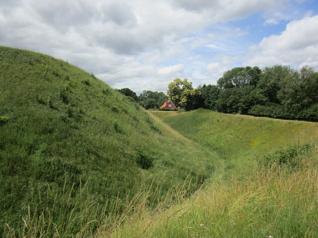
Day Common is a picturesque and diverse landscape located in Norfolk, England. Covering an area of approximately 500 acres, it is a combination of downs and moorland, providing a unique habitat for a variety of flora and fauna.
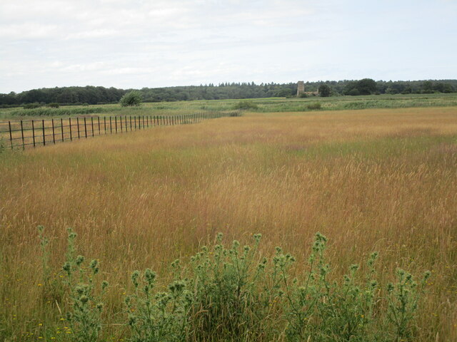
The common is characterized by its gently rolling hills, dotted with patches of heather and gorse. These vibrant purple and yellow blooms create a stunning contrast against the greenery, making it a popular spot for nature enthusiasts and photographers. The terrain is mostly open and expansive, offering breathtaking panoramic views of the surrounding countryside.
In terms of wildlife, Day Common is home to a wide range of species. Birdwatchers can spot a variety of birds, including skylarks, meadow pipits, and red grouse. The common also provides a habitat for small mammals like rabbits and voles, as well as reptiles such as common lizards and adders.
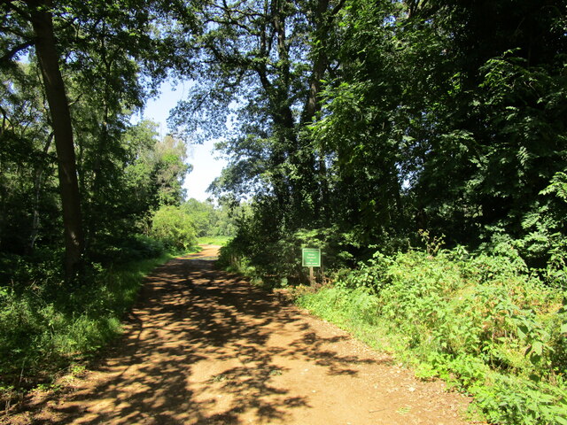
Visitors to Day Common can enjoy leisurely walks or hikes along the well-maintained footpaths that crisscross the area. There are also designated areas for picnics, allowing visitors to relax and take in the natural beauty of the surroundings. The common is accessible year-round and attracts visitors from near and far who seek solace in its tranquil and serene atmosphere.
Overall, Day Common is a stunning natural landscape that offers a peaceful escape from the hustle and bustle of everyday life. Whether it is for a leisurely stroll, birdwatching, or simply enjoying the breathtaking views, this Norfolk gem is a must-visit for nature enthusiasts and those looking to immerse themselves in the beauty of the countryside.
If you have any feedback on the listing, please let us know in the comments section below.
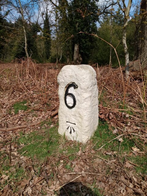
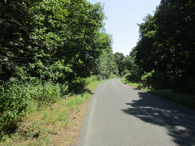
Day Common Images
Images are sourced within 2km of 52.799592/0.47723404 or Grid Reference TF6725. Thanks to Geograph Open Source API. All images are credited.


Day Common is located at Grid Ref: TF6725 (Lat: 52.799592, Lng: 0.47723404)
Administrative County: Norfolk
District: King's Lynn and West Norfolk
Police Authority: Norfolk
What 3 Words
///reprints.ambushes.bundles. Near Dersingham, Norfolk
Nearby Locations
Related Wikis

Castle Rising
Castle Rising is a village and civil parish in the English county of Norfolk. The village is situated some 8 kilometres (5 mi) north-east of the town of...

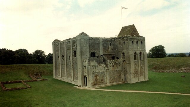
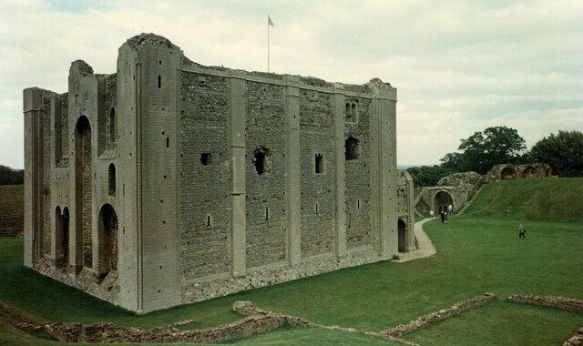
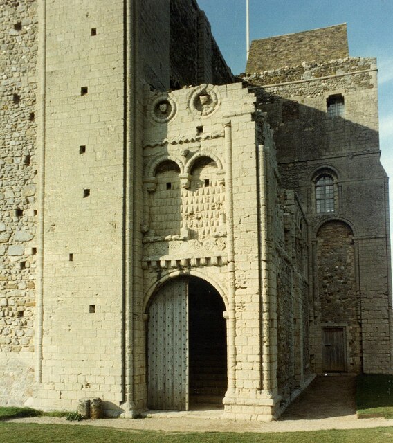
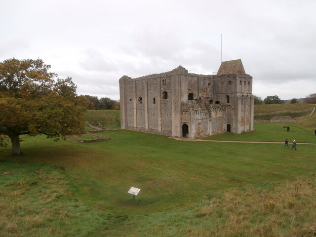
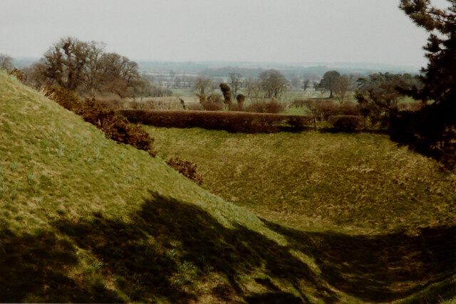
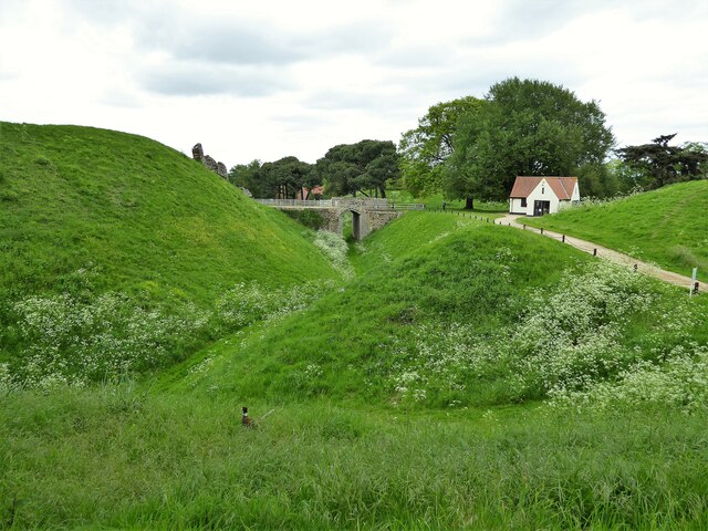
Castle Rising Castle
Castle Rising is a ruined medieval fortification in the village of Castle Rising, Norfolk, England. It was built soon after 1138 by William d'Aubigny II...
Babingley
Babingley is a village and former civil parish, now in the parish of Sandringham, in the King's Lynn and West Norfolk district, in the county of Norfolk...

Wood Farm
Wood Farm is a farmhouse on the British Royal Family's Sandringham Estate in Norfolk, England. Historically occupied by members of the Royal Family and...
Nearby Amenities
Located within 500m of 52.799592,0.47723404Have you been to Day Common?
Leave your review of Day Common below (or comments, questions and feedback).