Swale's Fen
Downs, Moorland in Suffolk West Suffolk
England
Swale's Fen
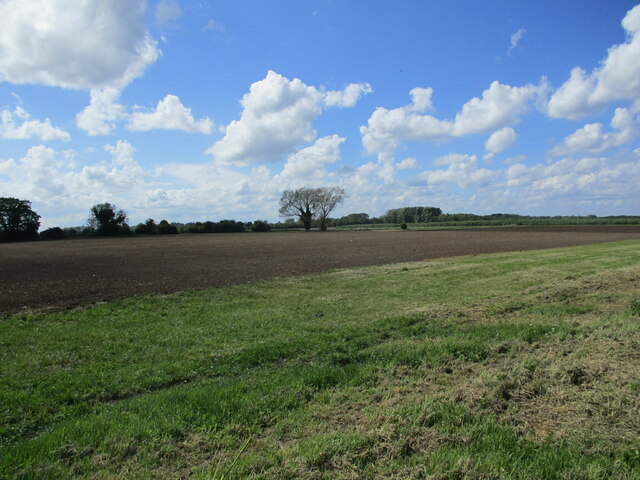
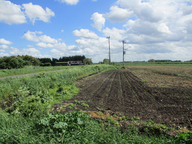
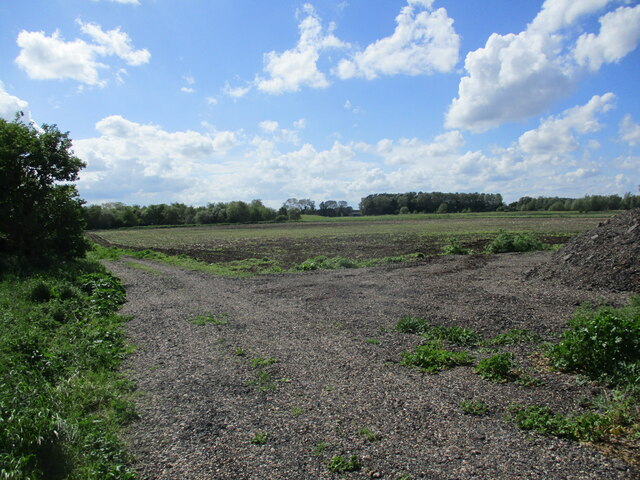
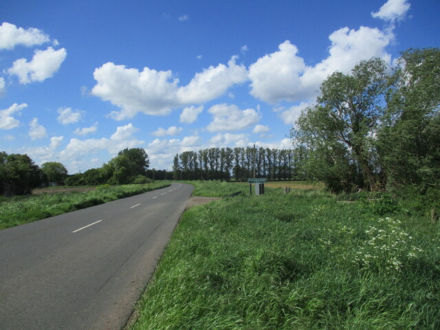
Swale's Fen is a picturesque nature reserve located in Suffolk, England. Nestled within the stunning landscape of the Suffolk Downs, this fen is a haven for wildlife lovers and nature enthusiasts alike. The reserve covers an expansive area of moorland, providing a diverse habitat for a wide range of plant and animal species.
The fen boasts a rich variety of flora, including rare and endangered species such as the fen orchid and marsh gentian. These delicate flowers add a splash of vibrant color to the serene surroundings. The reserve is also home to an array of wetland plants, such as reeds and sedges, which thrive in the nutrient-rich soil.
For birdwatchers, Swale's Fen is a haven. The reserve attracts a plethora of avian species, including marsh harriers, bitterns, and water rails. Visitors can spot these magnificent creatures as they gracefully glide through the air or hide amidst the reeds. The fen also provides an ideal breeding ground for a variety of dragonflies and damselflies, adding to the natural beauty of the area.
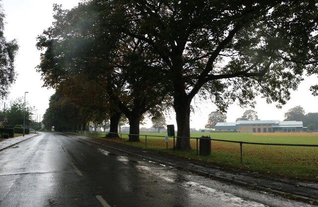
The landscape itself is a sight to behold. Rolling hills and open moorland create a sense of tranquility, making Swale's Fen the perfect place for a leisurely stroll or a picnic surrounded by nature. The reserve offers well-maintained walking trails that allow visitors to explore the area and discover its hidden gems.
Swale's Fen, Suffolk, is a captivating natural reserve that showcases the beauty and diversity of the Suffolk Downs. Its unique fenland ecosystem and abundant wildlife make it a must-visit destination for nature enthusiasts seeking a peaceful and immersive experience in the heart of the British countryside.
If you have any feedback on the listing, please let us know in the comments section below.
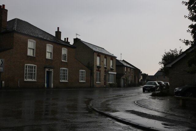
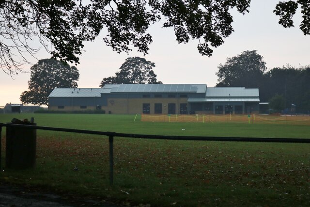
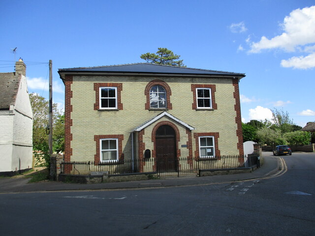
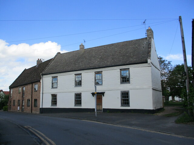
Swale's Fen Images
Images are sourced within 2km of 52.353043/0.42294198 or Grid Reference TL6575. Thanks to Geograph Open Source API. All images are credited.


Swale's Fen is located at Grid Ref: TL6575 (Lat: 52.353043, Lng: 0.42294198)
Administrative County: Suffolk
District: West Suffolk
Police Authority: Suffolk
What 3 Words
///caves.alive.recap. Near Isleham, Cambridgeshire
Nearby Locations
Related Wikis

Isleham Hoard
The Isleham Hoard is a hoard of more than 6,500 pieces of worked and unworked bronze, dating from the Bronze Age, found in 1959 by William 'Bill' Houghton...

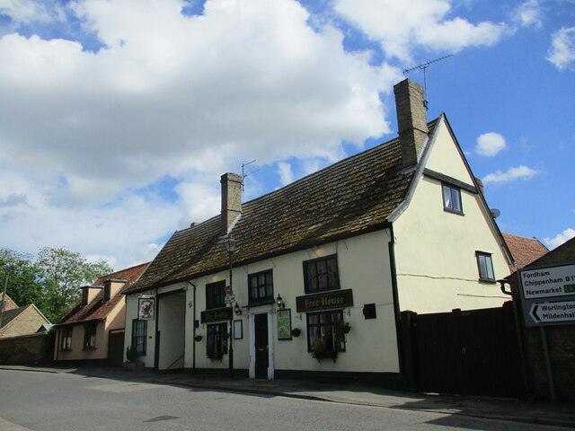
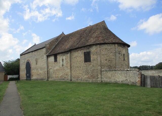
Isleham Priory Church
Isleham Priory Church, located in Isleham, Cambridgeshire, England, is a Benedictine alien priory built around 1100 AD. It is an important example of an...
Mildenhall Stadium
Mildenhall Stadium is a speedway, stock car racing and Greyhound Board of Great Britain regulated greyhound racing venue located in Mildenhall, Suffolk...

Isleham railway station
Isleham railway station is a disused railway station on the Cambridge to Mildenhall railway in England. The station was on the outskirts of the village...

West Row
West Row is a small village and civil parish in the English county of Suffolk. It is generally considered the edge of The Fens. == Geography == West Row...

Isleham
Isleham is a village and civil parish in the English county of Cambridgeshire. It is part of the Fens. It has three pubs. == Geography == Isleham is located...

Isleham Nature Reserve
Isleham Nature Reserve is a 1.1 hectare Local Nature Reserve in Isleham in Cambridgeshire. It is owned by Cambridgeshire County Council and managed by...
Beck Row
Beck Row is a village in Suffolk, England. The village is close to RAF Mildenhall and is home to about 3000 people. Culturally, the village has an old...
Nearby Amenities
Located within 500m of 52.353043,0.42294198Have you been to Swale's Fen?
Leave your review of Swale's Fen below (or comments, questions and feedback).