The Park
Downs, Moorland in Kent Gravesham
England
The Park
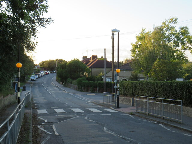
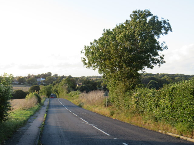
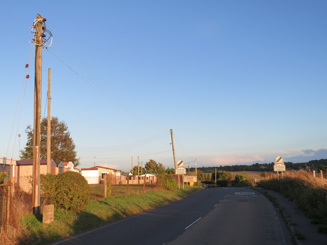
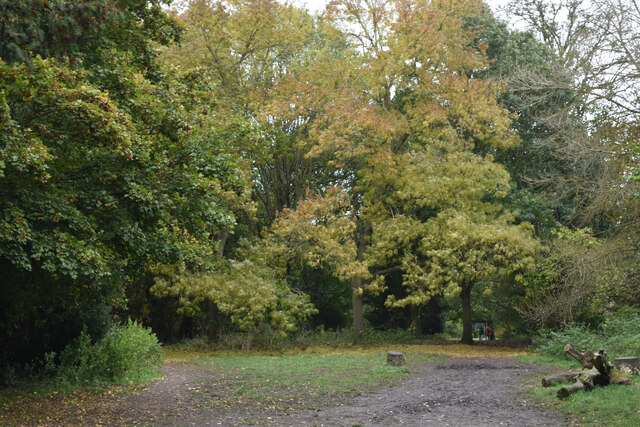
The Park, located in Kent, is a picturesque area known for its stunning natural landscapes, including downs and moorland. Spanning over a vast area, The Park offers visitors a unique opportunity to immerse themselves in the beauty of nature and explore its diverse flora and fauna.
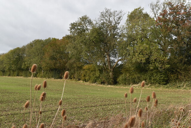
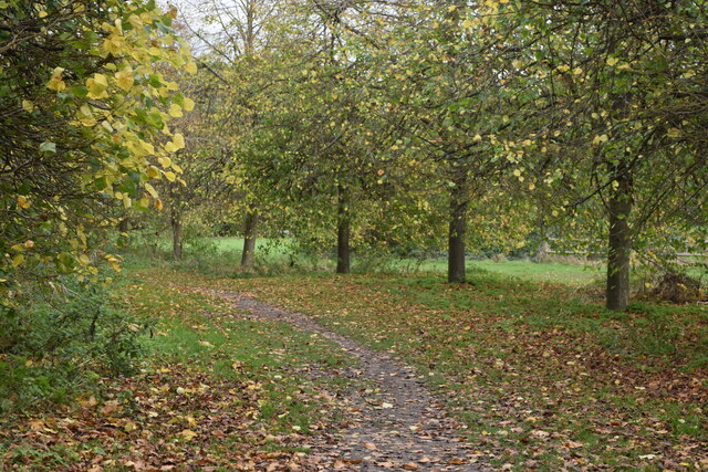
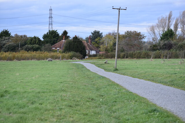
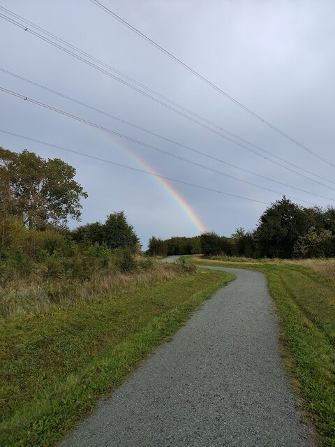
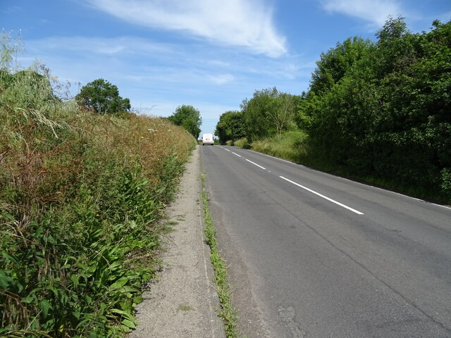
The downs in The Park are characterized by rolling hills covered in lush green grass, providing a perfect setting for leisurely walks and picnics. These hills offer breathtaking panoramic views of the surrounding countryside, making it a popular spot for photography enthusiasts and nature lovers alike. The downs are also home to a variety of wildlife, including rabbits, deer, and a wide array of bird species, making it an ideal location for birdwatching.
Moorland, on the other hand, presents a different landscape altogether. With its vast expanses of open heathland, interspersed with patches of gorse and heather, the moorland offers a unique habitat for various plant and animal species. Visitors can witness the beauty of vibrant purple heather in bloom during the summer months, creating a picturesque scene against the backdrop of the rolling hills.
The Park is a haven for outdoor enthusiasts, offering numerous opportunities for hiking, cycling, and horseback riding. There are well-marked trails that cater to different levels of difficulty, ensuring that there is something for everyone to enjoy. Additionally, The Park has designated areas for camping and picnicking, allowing visitors to fully immerse themselves in the natural surroundings.
Overall, The Park in Kent is a place of natural beauty that offers a tranquil escape from the hustle and bustle of everyday life. Whether seeking adventure or simply a peaceful retreat, The Park provides a diverse range of landscapes and activities to cater to every visitor's preferences.
If you have any feedback on the listing, please let us know in the comments section below.
The Park Images
Images are sourced within 2km of 51.392725/0.36104177 or Grid Reference TQ6468. Thanks to Geograph Open Source API. All images are credited.


The Park is located at Grid Ref: TQ6468 (Lat: 51.392725, Lng: 0.36104177)
Administrative County: Kent
District: Gravesham
Police Authority: Kent
What 3 Words
///fixed.neon.member. Near Meopham, Kent
Nearby Locations
Related Wikis

Nurstead
Nurstead (or Nursted) is a locality, ecclesiastical parish and former civil parish situated 3 miles south of Gravesend and ½ a mile north of Meopham,...
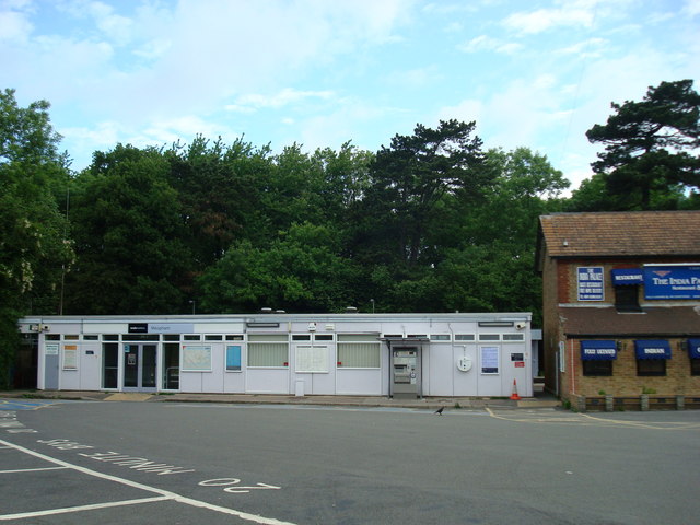
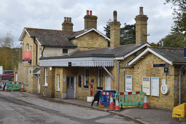
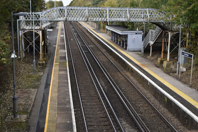
Meopham railway station
Meopham railway station is on the Chatham Main Line in England, serving the village of Meopham, Kent. It is 25 miles 76 chains (41.8 km) down the line...

Gravesham (UK Parliament constituency)
Gravesham () is a constituency in Kent represented in the House of Commons of the UK Parliament since 2005 by Adam Holloway, a Conservative. == Constituency... ==
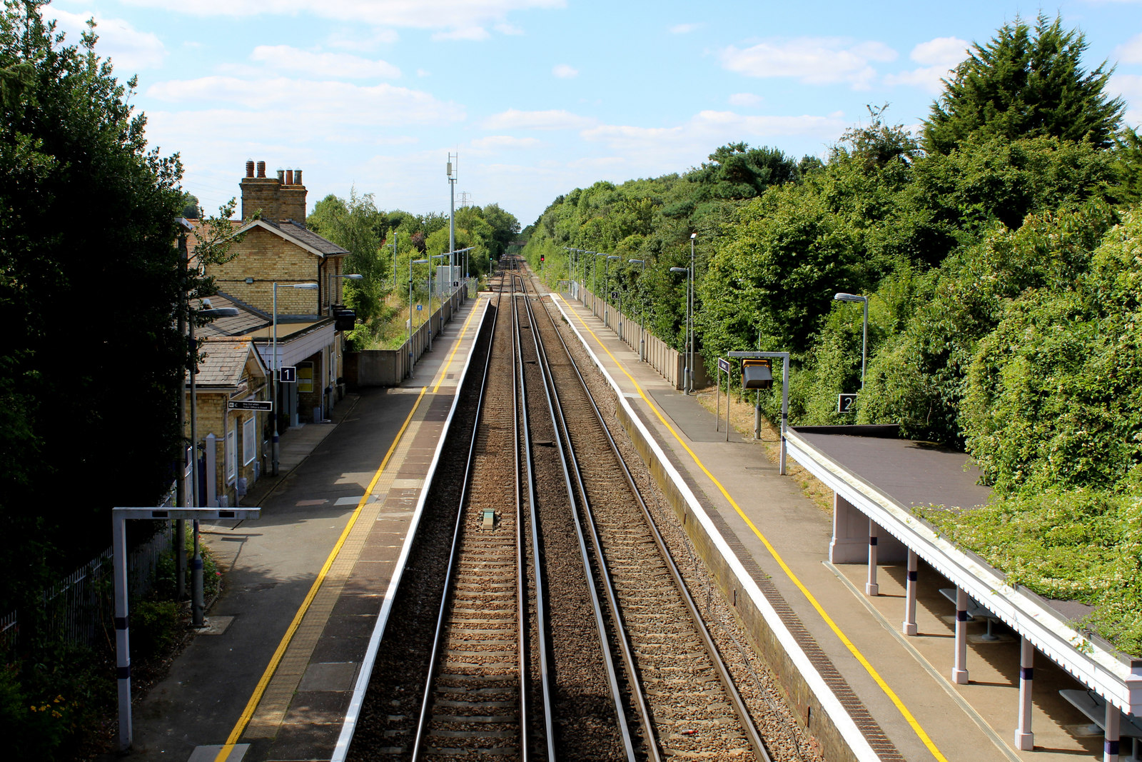
Sole Street railway station
Sole Street railway station is on the Chatham Main Line in England, serving the village of Sole Street, near Cobham, Kent. It is 26 miles 71 chains (43...

Istead Rise
Istead Rise is a village in the borough of Gravesham in Kent, England, 3 miles (5 km) south of Gravesend. It had a population of 3,437 at the 2011 Census...

Camer Park Country Park
Camer Country Park is in Meopham, in Kent, England. It is a former estate landscape, with grassland and woodland. == History == This park was originally...

Owletts
Owletts is a country house 0.8 miles (1.3 km) to the northwest of the village of Cobham in Kent, England. It is a Grade II* listed building owned by the...

Jeskyns
Jeskyns is a park near Cobham, in Kent, England. A former farm, it was reopened as a large open-space recreational area in 2007, with areas being developed...
Related Videos


The Wey Navigation
A cold, frosty walk along the Way Navigation @nationaltrustcharity, some beautiful pictures. I crashed and lost my drone on this ...

Barcelona
My barcelona selfie tour.
Nearby Amenities
Located within 500m of 51.392725,0.36104177Have you been to The Park?
Leave your review of The Park below (or comments, questions and feedback).