Southery Common
Downs, Moorland in Norfolk King's Lynn and West Norfolk
England
Southery Common

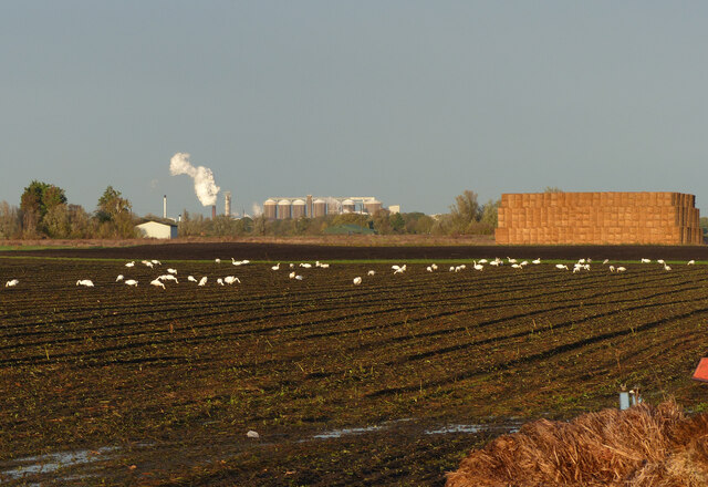
Southery Common is a picturesque area located in Norfolk, England. It spans across the village of Southery and is known for its diverse natural landscape, comprising of downs and moorland. Covering an area of approximately 200 hectares, Southery Common is a designated Site of Special Scientific Interest (SSSI) due to its unique ecological features.
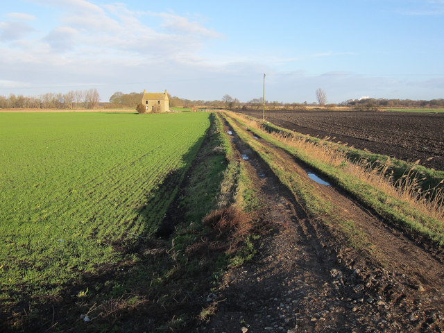
The downs in Southery Common are characterized by gently rolling hills and open grasslands. These areas provide a habitat for a variety of plant species, including heather, gorse, and wildflowers. The downs also offer stunning panoramic views of the surrounding countryside, making it a popular spot for hikers and nature enthusiasts.
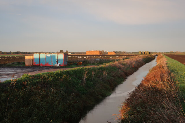
The moorland section of Southery Common is characterized by wet, acidic soils and is home to a range of plant and animal species. It features areas of bog and fen, which support a diverse range of flora, including sphagnum moss, cotton grass, and various sedges. The moorland also provides nesting sites for birds such as curlews, lapwings, and skylarks.
The common is managed by the Norfolk Wildlife Trust, which works to preserve and protect its unique ecosystem. Visitors to Southery Common can enjoy a network of footpaths and bridleways that crisscross the area, allowing for exploration and wildlife spotting opportunities. The common also offers a tranquil and peaceful environment, making it an ideal place for relaxation and reflection in nature.
If you have any feedback on the listing, please let us know in the comments section below.
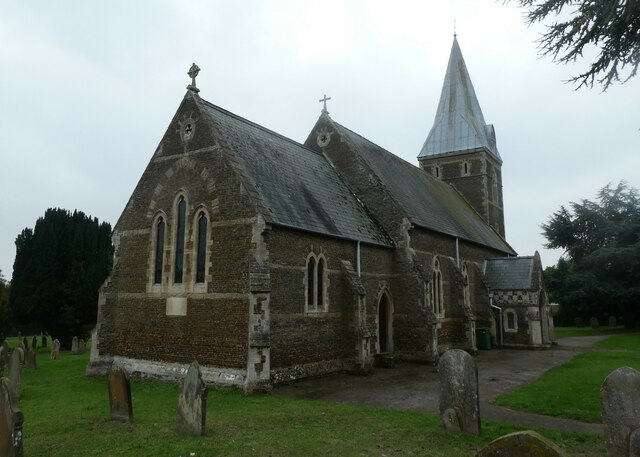
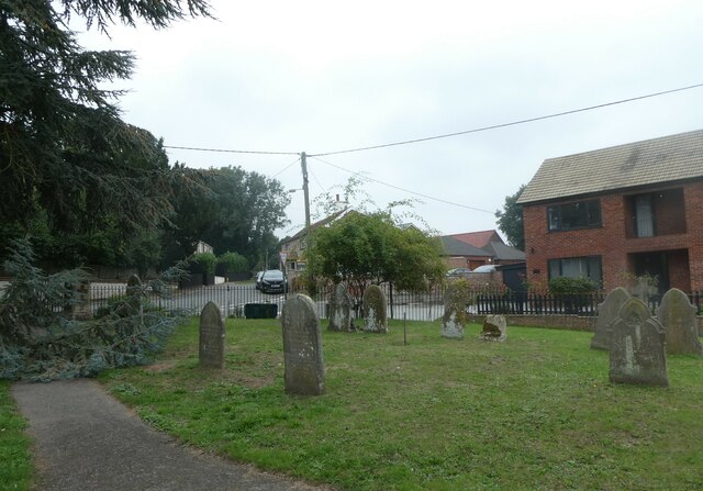
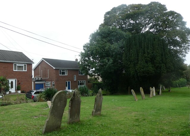
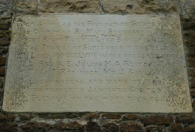
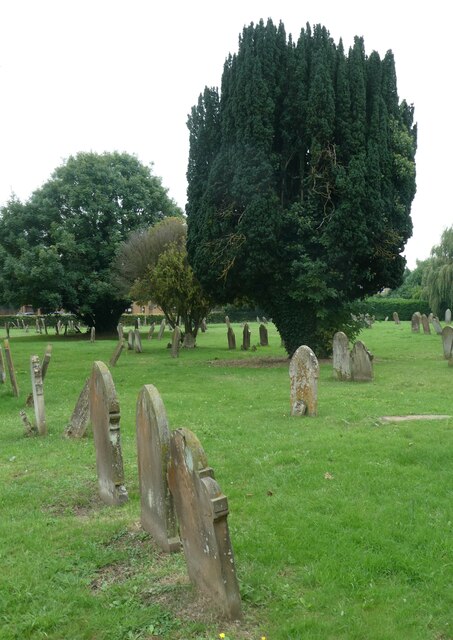
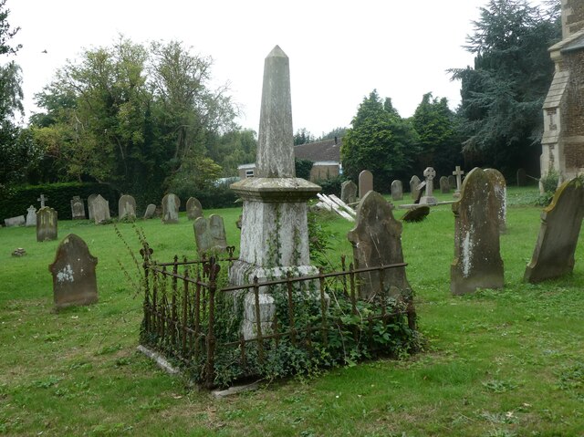
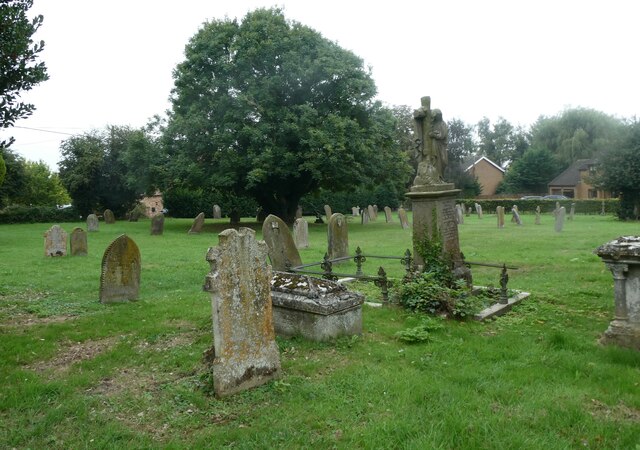
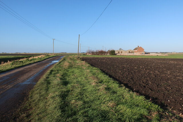
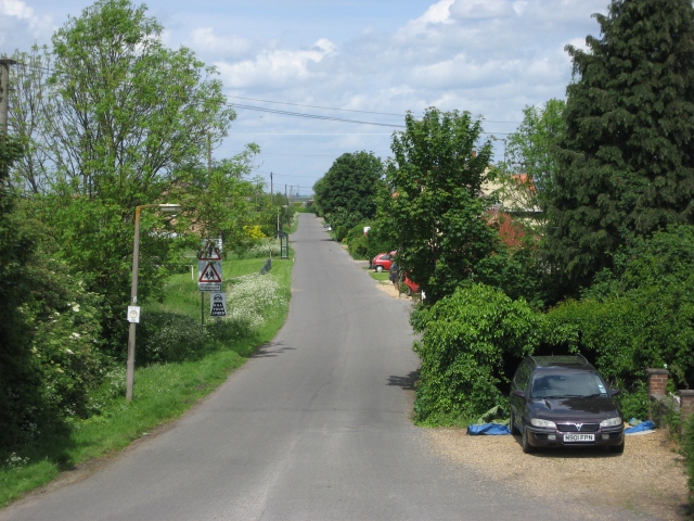
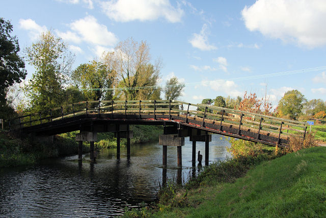
Southery Common Images
Images are sourced within 2km of 52.518147/0.39334023 or Grid Reference TL6293. Thanks to Geograph Open Source API. All images are credited.


Southery Common is located at Grid Ref: TL6293 (Lat: 52.518147, Lng: 0.39334023)
Administrative County: Norfolk
District: King's Lynn and West Norfolk
Police Authority: Norfolk
What 3 Words
///buyers.marketing.expectant. Near Southery, Norfolk
Nearby Locations
Related Wikis

Southery
Southery is a village and civil parish in Norfolk, England, which covers an area of 18.12 km2 (7.00 sq mi) and had a population of 1,324 at the 2011 Census...

River Little Ouse
The River Little Ouse, also known as the Brandon River, is a river in the east of England, a tributary of the River Great Ouse. For much of its length...

Modeney Priory
Modeney Priory—also spelled Modney and Modeny—was a Benedictine priory in the civil parish of Hilgay, Norfolk, England. Located less than a mile east of...
Black Horse Drove
Black Horse Drove is a linear hamlet that lies 7 miles (11 km) north-north-east of Ely in Cambridgeshire, England in the civil parish of Littleport ....
Hilgay railway station
Hilgay railway station was a station in Hilgay, Norfolk, United Kingdom which is now closed. It was on the Fen Line between King's Lynn and Cambridge....

Hilgay
Hilgay is a village and civil parish in Norfolk, England, 4 miles (6.4 km) from Downham Market. It covers an area of 33.38 km2 (12.89 sq mi) and had a...
Little Ouse, Cambridgeshire
Little Ouse is a hamlet in Littleport parish, East Cambridgeshire, England, about 3.5 miles (6 km) north-east of Littleport village. It lies on the left...
Wissington, Norfolk
Wissington in Norfolk is the site of British Sugar's largest sugar factory in the UK; it is also the largest in Europe. There has been a sugar factory...
Nearby Amenities
Located within 500m of 52.518147,0.39334023Have you been to Southery Common?
Leave your review of Southery Common below (or comments, questions and feedback).