Orsett Fen
Downs, Moorland in Essex
England
Orsett Fen

Orsett Fen is a nature reserve located in Essex, England. It is situated near the village of Orsett and covers an area of approximately 60 hectares. The fen is a unique habitat that supports a diverse range of plant and animal species.
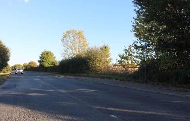
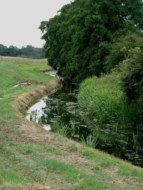
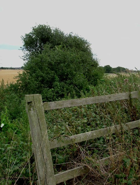
The landscape of Orsett Fen is characterized by low-lying wetland areas, open grasslands, and patches of woodland. It is part of the Thames Chase Community Forest, contributing to the overall conservation efforts in the region. The site is managed by the Essex Wildlife Trust, who work to protect and enhance the natural features of the area.
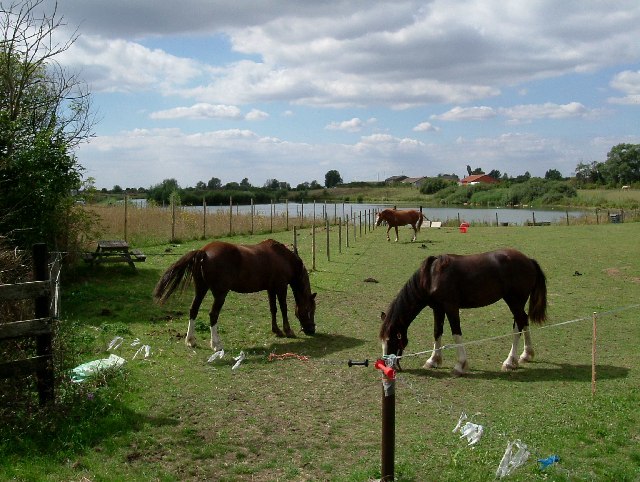
The fen is home to a variety of rare and protected species. It is particularly renowned for its rich birdlife, with over 100 species recorded within its boundaries. Visitors to Orsett Fen may spot birds such as marsh harriers, reed buntings, and lapwings. The site is also important for its dragonfly and butterfly populations, including species such as the emperor dragonfly and the purple hairstreak butterfly.
Wandering through Orsett Fen, visitors can explore a network of footpaths and boardwalks, allowing them to observe and appreciate the diverse flora and fauna. The fen boasts a wide range of plant species, with marsh orchids, water violets, and yellow flag irises amongst the notable examples. The surrounding grasslands are also home to numerous wildflowers, creating a colorful and vibrant landscape during the spring and summer months.
Overall, Orsett Fen is a valuable and ecologically significant nature reserve, offering visitors the opportunity to experience and appreciate the beauty of Essex's wetland and moorland habitats.
If you have any feedback on the listing, please let us know in the comments section below.
Orsett Fen Images
Images are sourced within 2km of 51.521888/0.33940525 or Grid Reference TQ6282. Thanks to Geograph Open Source API. All images are credited.


Orsett Fen is located at Grid Ref: TQ6282 (Lat: 51.521888, Lng: 0.33940525)
Unitary Authority: Thurrock
Police Authority: Essex
What 3 Words
///bells.debit.cover. Near Orsett, Essex
Nearby Locations
Related Wikis
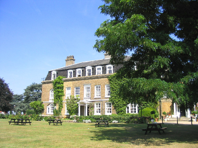
Orsett Hall
Orsett Hall was a 17th-century Grade II listed building in Orsett, Essex (de-listed on 10 March 2008). It was set in 12 acres (4.9 ha) of parkland and...

South Ockendon Windmill
South Ockendon Windmill was a Smock mill at South Ockendon, Essex, England which collapsed on 2 November 1977. == History == South Ockendon Windmill was...

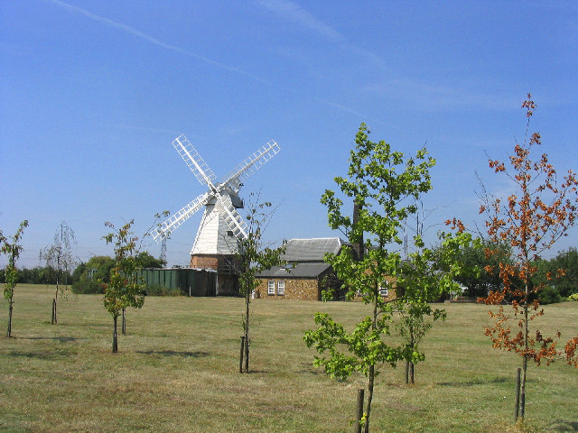
Baker Street Mill, Orsett
Baker Street Mill is a grade II listed smock mill at Baker Street, Orsett, Essex, England which has been part adapted to residential use on its lower two...

William Edwards School
William Edwards School (formerly William Edwards School and Sports College), commonly referred to by locals and students as Willy Eds, is a coeducational...

St Giles & All Saints Church, Orsett
St Giles & All Saints Church is a Church of England parish church in Orsett, Essex, England, which is of medieval origin. It is a Grade I listed building...

Baker Street, Essex
Baker Street is an area of Orsett in the unitary authority of Thurrock. It is in the ceremonial county of Essex, England. In 2019 it had an estimated population...

Orsett
Orsett is a village, former civil parish and ecclesiastical parish located within Thurrock unitary district in Essex, England, it is north-east of Grays...

Orsett Rural District
Orsett Rural District was the local government district centred on Orsett in south Essex, England from 1894 to 1936; a little of its far west is in modern...
Nearby Amenities
Located within 500m of 51.521888,0.33940525Have you been to Orsett Fen?
Leave your review of Orsett Fen below (or comments, questions and feedback).