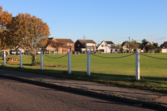
John Clay Gardens
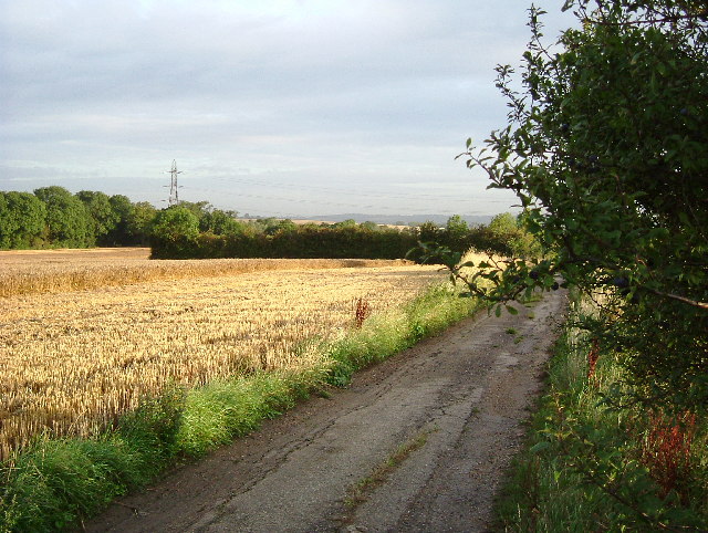
Downs, Moorland in Essex
England
John Clay Gardens
John Clay Gardens is a stunning horticultural masterpiece located in Essex, specifically in the Downs and Moorland area. Spread across a vast area, this garden is renowned for its immaculate design and meticulous attention to detail.
The garden boasts a diverse range of plant species, carefully curated to create a harmonious and visually appealing landscape. From vibrant flower beds to perfectly pruned shrubs and trees, every corner of John Clay Gardens exudes an air of tranquility and natural beauty.
One of the highlights of this horticultural haven is its collection of rare and exotic plants. Visitors can marvel at the sight of delicate orchids, vibrant bromeliads, and unique ferns, showcasing the garden's commitment to preserving biodiversity.
John Clay Gardens also features several themed areas, each with its own distinctive charm. The Japanese Garden, with its serene water features and meticulously raked gravel, transports visitors to the tranquil landscapes of the Far East. The Rose Garden, on the other hand, captivates with its fragrant blooms and colorful array of roses, creating a delightful sensory experience.
Aside from its visual appeal, John Clay Gardens also offers educational opportunities for visitors. The garden regularly hosts workshops and talks, providing insights into horticulture and gardening techniques.
Overall, John Clay Gardens in Essex is a haven for nature enthusiasts and gardening lovers. Its breathtaking beauty, diverse plant collection, and commitment to conservation make it a must-visit destination for anyone seeking a peaceful and inspiring escape into the world of flora.
If you have any feedback on the listing, please let us know in the comments section below.
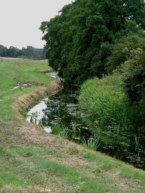
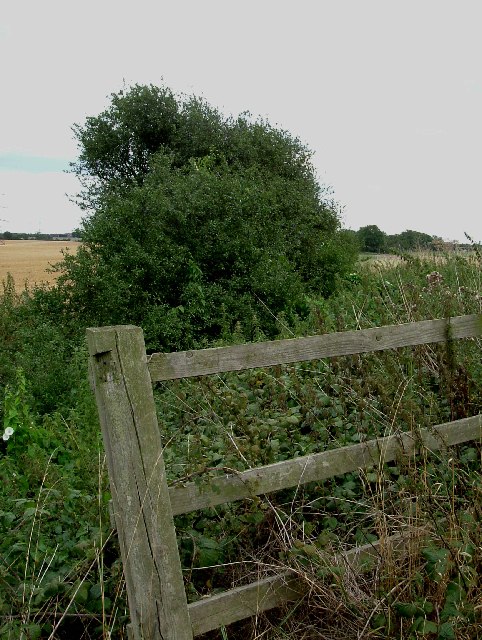
John Clay Gardens Images
Images are sourced within 2km of 51.500239/0.32777773 or Grid Reference TQ6180. Thanks to Geograph Open Source API. All images are credited.
John Clay Gardens is located at Grid Ref: TQ6180 (Lat: 51.500239, Lng: 0.32777773)
Unitary Authority: Thurrock
Police Authority: Essex
What 3 Words
///barks.woes.tower. Near Chafford Hundred, Essex
Nearby Locations
Related Wikis

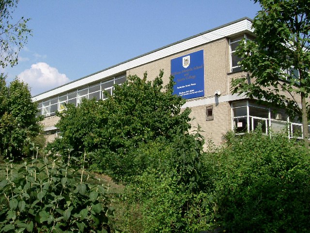
William Edwards School
William Edwards School (formerly William Edwards School and Sports College), commonly referred to by locals and students as Willy Eds, is a coeducational...

Baker Street, Essex
Baker Street is an area of Orsett in the unitary authority of Thurrock. It is in the ceremonial county of Essex, England. In 2019 it had an estimated population...
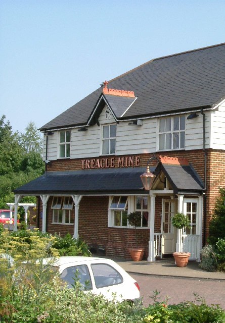
Treacle Mine Roundabout
Treacle Mine Roundabout is a suburban roundabout between Grays and Stifford Clays, Essex, England. It is named, as is the adjacent public house for the...

Hathaway Academy
The Hathaway Academy, formerly the Grays School Media Arts College (TGSMAC or Grays School), is a coeducational, non-selective secondary school with academy...
Nearby Amenities
Located within 500m of 51.500239,0.32777773Have you been to John Clay Gardens?
Leave your review of John Clay Gardens below (or comments, questions and feedback).