West Fen

Downs, Moorland in Cambridgeshire East Cambridgeshire

England

West Fen

The Co op in Fordham As there is a Flickr group for Co-op shops I always make sure I take a picture of them.
The Co op in Fordham Credit: David Howard

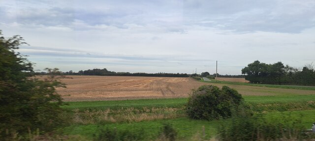
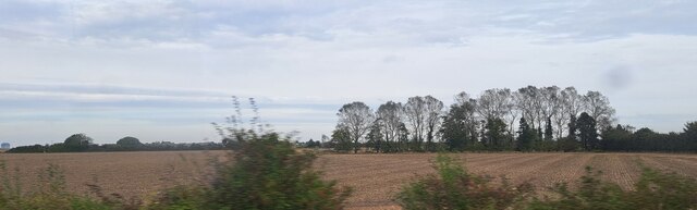
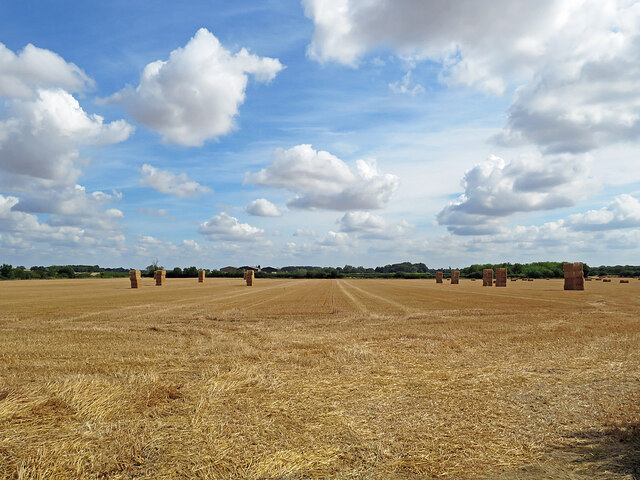
West Fen is a rural area located in Cambridgeshire, England, known for its diverse natural landscape consisting of downs and moorland. Spanning approximately several square miles, this region showcases an array of unique geological features and ecological diversity. The downs in West Fen are characterized by gently rolling hills and expansive grasslands, providing picturesque views and a tranquil setting for visitors.

The moorland in West Fen is a striking contrast to the downs, with its wet and boggy terrain. This type of landscape is characterized by low-growing vegetation, including heather, grasses, and marsh plants. The moorland is home to a variety of bird species, such as curlews, lapwings, and skylarks, making it a popular destination for birdwatchers and nature enthusiasts.

West Fen is also known for its rich history and archaeological significance. Ancient artifacts, including tools and pottery, have been discovered in the area, indicating human habitation dating back thousands of years. The region's historical importance is further highlighted by the presence of ancient burial mounds and earthworks, which offer a glimpse into the lives of the early inhabitants of Cambridgeshire.

In addition to its natural beauty and historical significance, West Fen offers a range of recreational activities for visitors. Hiking and walking trails allow individuals to explore the diverse landscape at their own pace, while designated bird hides provide excellent opportunities for observing the local wildlife. Overall, West Fen is a captivating destination that combines natural beauty, historical significance, and outdoor activities to create a truly unique experience for visitors.

If you have any feedback on the listing, please let us know in the comments section below.
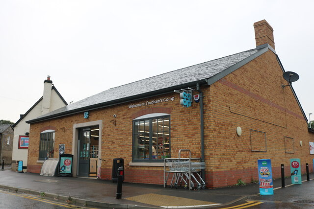
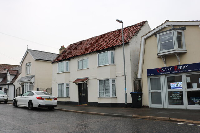
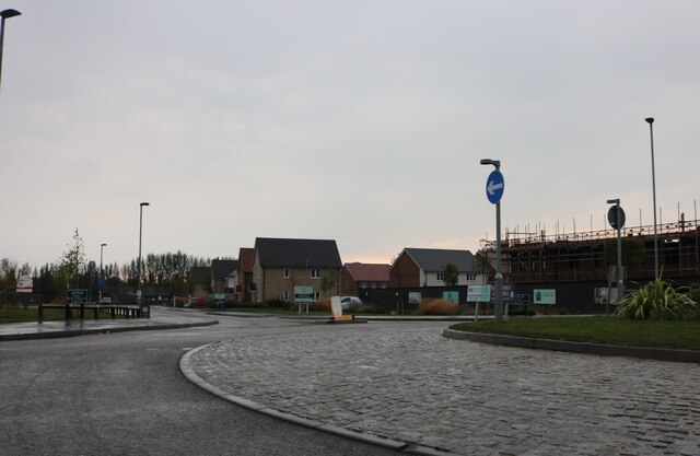
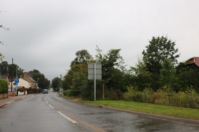
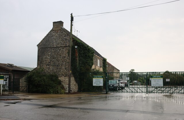
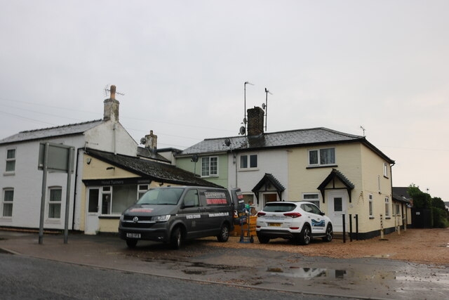
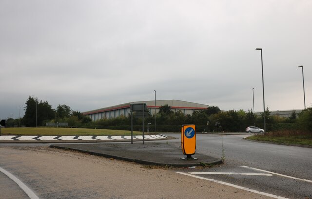
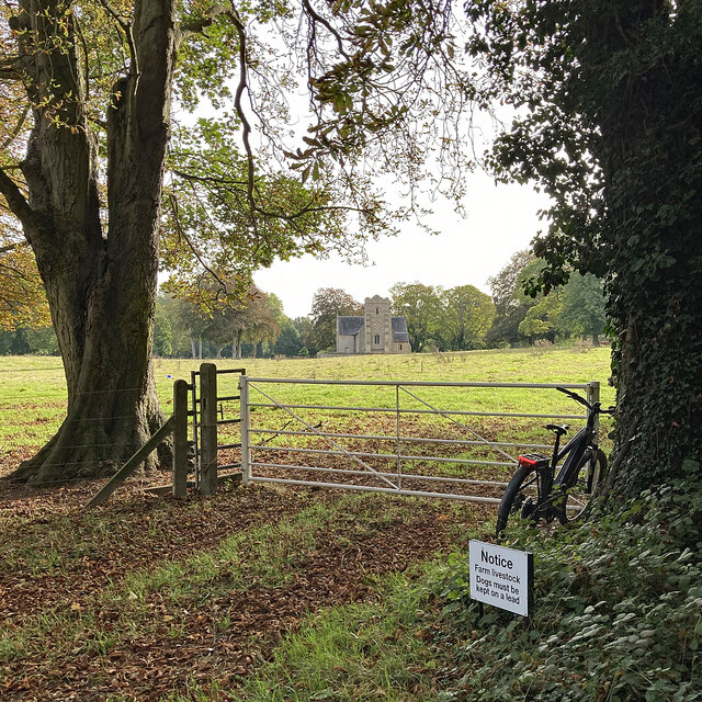
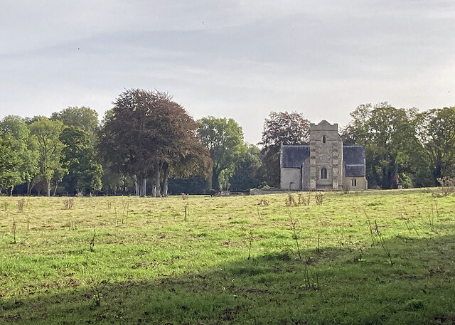
West Fen Images

Images are sourced within 2km of 52.298692/0.36717169 or Grid Reference TL6169. Thanks to Geograph Open Source API. All images are credited.

The Co op in Fordham As there is a Flickr group for Co-op shops I always make sure I take a picture of them.
The Co op in Fordham
As there is a Flickr group for Co-op shops I always make sure I take a picture of them.
Carter Street, Fordham
Roundabout and new estate on Soham Road, Fordham
Market Street, Fordham
The entrance to Scotsdale's Garden Centre, Fordham
Houses and hairdresser on Market Street, Fordham
Field north of Station Road, Fordham
Cockpen Road, Fordham, from the railway
Field south of Block Road, from the railway
A Peterborough train at Fordham Level Crossing You're unlucky to find the gates closed on a Sunday as few trains use this line. This is an Ipswich-Peterborough service, a Stadler bi-modal unit which can use electric power under the wires or diesel propulsion on secondary lines like this. Its next stop will be Ely.

<a href="https://www.geograph.org.uk/photo/5748726">TL6169 : A container train at Fordham Level Crossing</a> shows a freight train here in 2018.
A Peterborough train at Fordham Level Crossing
You're unlucky to find the gates closed on a Sunday as few trains use this line. This is an Ipswich-Peterborough service, a Stadler bi-modal unit which can use electric power under the wires or diesel propulsion on secondary lines like this. Its next stop will be Ely. TL6169 : A container train at Fordham Level Crossing shows a freight train here in 2018.
Roundabout on Newmarket Road, Fordham Abbey The first visit <a title="https://www.geograph.org.uk/photo/6566270" href="https://www.geograph.org.uk/photo/6566270">Link</a>
Roundabout on Newmarket Road, Fordham Abbey
The first visit Link
Bales in harvest time Fields north-east of Haycroft Lane, between Burwell and Exning, on a sunny morning in early August. Harvest is well advanced in this part of East Anglia.
Bales in harvest time
Fields north-east of Haycroft Lane, between Burwell and Exning, on a sunny morning in early August. Harvest is well advanced in this part of East Anglia.
Farmland seen from Landwade Road
Towards Landwade Church St Nicholas is a 15th-century Grade II* listed church.
Towards Landwade Church
St Nicholas is a 15th-century Grade II* listed church.
Landwade: St Nicholas "Built c.1445 for Sir Walter Cotton. Cruciform plan and west tower. Some re-used Barnack stone and limestone dressings, flint and pebble rubble originally plastered. Interior details in clunch. Welsh slate roofs; plain tile pyramidal tower roof and pent roof to tower turret. Two massive gault brick buttresses, mid C19, to west elevation of tower" (from the Grade II* listing).
Landwade: St Nicholas
"Built c.1445 for Sir Walter Cotton. Cruciform plan and west tower. Some re-used Barnack stone and limestone dressings, flint and pebble rubble originally plastered. Interior details in clunch. Welsh slate roofs; plain tile pyramidal tower roof and pent roof to tower turret. Two massive gault brick buttresses, mid C19, to west elevation of tower" (from the Grade II* listing).
Farm cottages at Landwade Landwade Road, from Exning, ends here, but continues as a restricted byway to North End.
Farm cottages at Landwade
Landwade Road, from Exning, ends here, but continues as a restricted byway to North End.
Landwade: a gated farm track Looking out into The Fens on an early-autumn morning.
Landwade: a gated farm track
Looking out into The Fens on an early-autumn morning.
Restricted byway to Landwade Part of the wooded northern stretch of a byway from North End to Landwade (ahead).
Restricted byway to Landwade
Part of the wooded northern stretch of a byway from North End to Landwade (ahead).
Show me another place!

West Fen is located at Grid Ref: TL6169 (Lat: 52.298692, Lng: 0.36717169)

Administrative County: Cambridgeshire

District: East Cambridgeshire

Police Authority: Cambridgeshire

What 3 Words

///fits.plants.surprises. Near Fordham, Cambridgeshire

Nearby Locations

West Fen

Related Wikis

Fordham railway station

Fordham railway station is a disused railway station that served the village of Fordham, Cambridgeshire. Opened in 1879, the station formed the junction...

Fordham Priory

Fordham Priory was a Gilbertine priory in Fordham, Cambridgeshire, England. It was established in 1227 and was dissolved in 1540. Fordham Abbey, a Grade...

Landwade

Landwade is a village and former civil parish, now in the parish of Exning, in the West Suffolk district, in the county of Suffolk, England. It is 4 miles...

Brackland Rough

Brackland Rough is a 10.7-hectare (26-acre) biological Site of Special Scientific Interest in Fordham in Cambridgeshire. It is managed by the Wildlife...

Nearby Amenities

Located within 500m of 52.298692,0.36717169
West Fen
Created By: Potlatch 0.10b
Place: locality
Source: npe
Lat/Long: 52.2982957/0.3699412
Source: survey
Lat/Long: 52.3023842/0.3653033
The data included in this document is from www.openstreetmap.org. The data is made available under ODbL.

Have you been to West Fen?

Leave your review of West Fen below (or comments, questions and feedback).