Willingdon Levels

Downs, Moorland in Sussex Eastbourne

England

Willingdon Levels

The Oval Little Common vs Horsham YMCA
The Oval Credit: Leon Pettit

Willingdon Levels, located in Sussex, England, is a diverse and picturesque area that encompasses both downs and moorland. Covering approximately 3,000 acres, it offers a unique blend of natural beauty and historical significance. The area is renowned for its rich biodiversity and stunning landscapes, attracting nature enthusiasts and visitors from all around.

The downs in Willingdon Levels are characterized by rolling hills and expansive grasslands. These open spaces are home to a variety of plant species, including wildflowers such as orchids and cowslips. The downs also provide an ideal habitat for numerous bird species, such as skylarks and meadow pipits, making it a popular spot for birdwatching.

The moorland within Willingdon Levels adds another layer of beauty to the area. With its heather-covered hills and peat bogs, it offers a distinct and atmospheric landscape. This type of terrain is relatively rare in Sussex, making the moorland in Willingdon Levels particularly special.

Aside from its natural wonders, Willingdon Levels also boasts a rich history. The area has evidence of human activity dating back to the Neolithic period, with the discovery of ancient burial mounds and flint tools. It is also home to several historical landmarks, including the Long Man of Wilmington, a hill figure carved into the chalk downs during the Iron Age.

Overall, Willingdon Levels in Sussex is a captivating landscape that combines the beauty of downs and moorland with its historical significance, offering visitors a diverse and memorable experience.

If you have any feedback on the listing, please let us know in the comments section below.

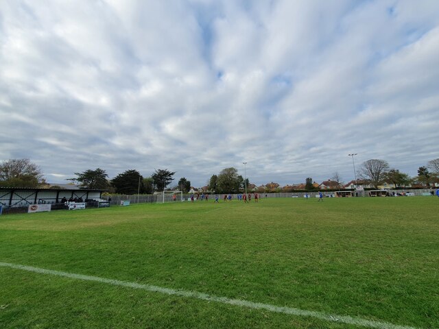
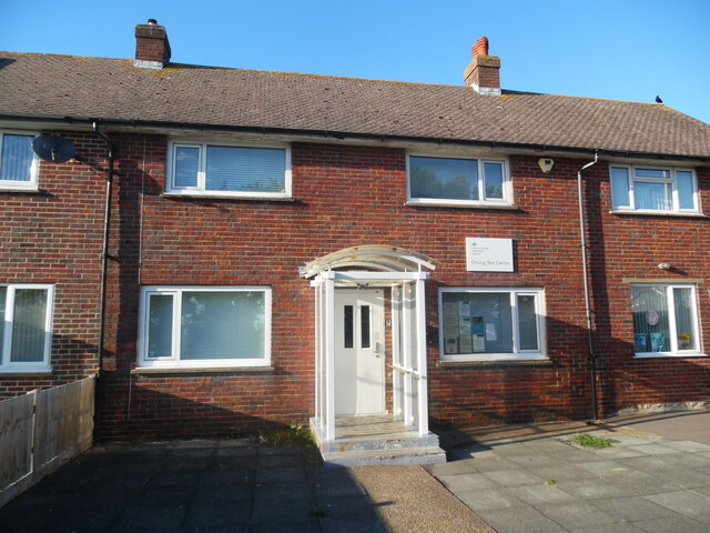
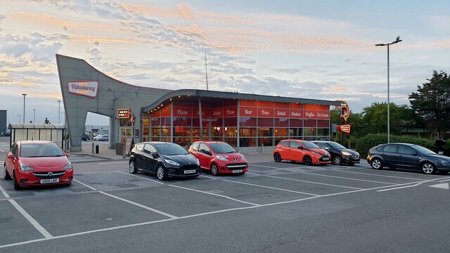
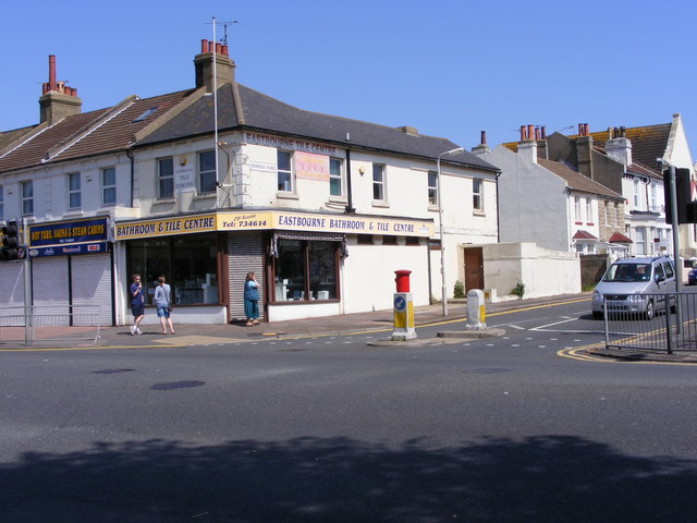
Willingdon Levels Images

Images are sourced within 2km of 50.791103/0.2864338 or Grid Reference TQ6101. Thanks to Geograph Open Source API. All images are credited.

The Oval Little Common vs Horsham YMCA
The Oval
Little Common vs Horsham YMCA
Practical Driving Test Centre, Eastbourne This driving test centre at 1 HM Coastguard Station in Wartling Road BN22 7PT carries out practical tests for cars, motorcycles and Approved Driving Instructors (Parts 2 and 3). Driving Theory Tests, which one has to pass before taking the practical test, are carried out at Senlac House, 53-58 Seaside, Eastbourne, BN22 7NE (TV6199).
Practical Driving Test Centre, Eastbourne
This driving test centre at 1 HM Coastguard Station in Wartling Road BN22 7PT carries out practical tests for cars, motorcycles and Approved Driving Instructors (Parts 2 and 3). Driving Theory Tests, which one has to pass before taking the practical test, are carried out at Senlac House, 53-58 Seaside, Eastbourne, BN22 7NE (TV6199).
Pizza Hut on the Admiral Retail Park
McDonald's on the Admiral Retail Park
Eric Ravilious in Eastbourne, East Sussex The photo shows the house where the celebrated artist Eric Ravilious lived at 11 Glynde Avenue, Hampden Park, Eastbourne. Ravilious was born on the 22 July 1903 in Acton, London but the family moved to Eastbourne when Eric was a child. At school, in Eastbourne, Ravilious was awarded a scholarship to Eastbourne School of Art and then, in 1922, he won another scholarship to study at the Royal College of Art. In 1925, a travelling scholarship enabled him to visit Florence, Siena and the hill towns of Tuscany.
Ravilious became a part-time teacher at Eastbourne School of Art and, from 1930, he also became a part-time teacher at the Royal College of Art. Again in 1930, he married Eileen Lucy “Tizah” Garwood who, like him, was an artist and engraver. They went on to have three children.
Ravilious worked with a variety of materials and, for example, he engraved more than 400 illustrations and drew over 40 lithographic designs for books and publications during his life. Ravilious had commissions from Wedgwood for ceramic designs and one of these included a commemorative mug for the planned coronation of Edward VIII. This design was revised for the coronation of George VI and again, posthumously, for the coronation of Queen Elizabeth II in 1952. Ravilious also undertook designs in glass as in 1934 when he did work for Stuart Crystal. During a brief period in the 1930’s, Ravilious experimented by painting in oils but, inspired by the work of Johan Zoffany, he then painted almost entirely in watercolour. Ravilious saw his work in the tradition of British landscape painting and in that mode he took inspiration from the landscape around him. Ravilious delighted in painting the rounded hills and gentle valleys of the Beddingham area in the South Downs. Other favourite local landscapes which inspired his art included the River Cuckmere, Belle Tout and Beachy Head Lighthouses and giant chalk figures such as the Long Man of Wilmington. While his work was appreciated in his lifetime it has, perhaps, become even more popular in recent times. As his work is valued and desired in worldwide locations, Eastbourne is fortunate to have the Towner Art Gallery which has an excellent collection of his work. While not all of the Ravilious Collection is on immediate display, the Ravilious Gallery and Collection Library, which displays a selection of his work, is a dedicated space within the Towner which is permanently open and free of charge.
In 1939, Ravilious became a full-time, salaried, war artist with the rank of Honorary Captain in the Royal Marines and assigned to the Admiralty. As a war artist, Ravilious visited many locations including Chatham Dockyard, Sheerness, Whitstable, Scapa Flow, Portsmouth, Newhaven, Gosport, the Isle of May, Dundee and Sawbridgeworth in Hertfordshire. While posted in Norway, Ravilious volunteered to help search for a missing plane but, tragically, his plane, too, never returned. The body of Eric Ravilious, aged 39, was never found and he became the first British war artist to die on active service in World War II. A blue plaque, on the front wall of 11 Glynde Avenue, now commemorates the fact that Eric Ravilious lived there.
Eric Ravilious in Eastbourne, East Sussex
The photo shows the house where the celebrated artist Eric Ravilious lived at 11 Glynde Avenue, Hampden Park, Eastbourne. Ravilious was born on the 22 July 1903 in Acton, London but the family moved to Eastbourne when Eric was a child. At school, in Eastbourne, Ravilious was awarded a scholarship to Eastbourne School of Art and then, in 1922, he won another scholarship to study at the Royal College of Art. In 1925, a travelling scholarship enabled him to visit Florence, Siena and the hill towns of Tuscany. Ravilious became a part-time teacher at Eastbourne School of Art and, from 1930, he also became a part-time teacher at the Royal College of Art. Again in 1930, he married Eileen Lucy “Tizah” Garwood who, like him, was an artist and engraver. They went on to have three children. Ravilious worked with a variety of materials and, for example, he engraved more than 400 illustrations and drew over 40 lithographic designs for books and publications during his life. Ravilious had commissions from Wedgwood for ceramic designs and one of these included a commemorative mug for the planned coronation of Edward VIII. This design was revised for the coronation of George VI and again, posthumously, for the coronation of Queen Elizabeth II in 1952. Ravilious also undertook designs in glass as in 1934 when he did work for Stuart Crystal. During a brief period in the 1930’s, Ravilious experimented by painting in oils but, inspired by the work of Johan Zoffany, he then painted almost entirely in watercolour. Ravilious saw his work in the tradition of British landscape painting and in that mode he took inspiration from the landscape around him. Ravilious delighted in painting the rounded hills and gentle valleys of the Beddingham area in the South Downs. Other favourite local landscapes which inspired his art included the River Cuckmere, Belle Tout and Beachy Head Lighthouses and giant chalk figures such as the Long Man of Wilmington. While his work was appreciated in his lifetime it has, perhaps, become even more popular in recent times. As his work is valued and desired in worldwide locations, Eastbourne is fortunate to have the Towner Art Gallery which has an excellent collection of his work. While not all of the Ravilious Collection is on immediate display, the Ravilious Gallery and Collection Library, which displays a selection of his work, is a dedicated space within the Towner which is permanently open and free of charge. In 1939, Ravilious became a full-time, salaried, war artist with the rank of Honorary Captain in the Royal Marines and assigned to the Admiralty. As a war artist, Ravilious visited many locations including Chatham Dockyard, Sheerness, Whitstable, Scapa Flow, Portsmouth, Newhaven, Gosport, the Isle of May, Dundee and Sawbridgeworth in Hertfordshire. While posted in Norway, Ravilious volunteered to help search for a missing plane but, tragically, his plane, too, never returned. The body of Eric Ravilious, aged 39, was never found and he became the first British war artist to die on active service in World War II. A blue plaque, on the front wall of 11 Glynde Avenue, now commemorates the fact that Eric Ravilious lived there.
Eric Ravilious blue plaque, Eastbourne, East Sussex This photo shows the Eric Ravilious blue plaque on the front wall of 11 Glynde Avenue, in Eastbourne. The words on the plaque are of different sizes and they read as follows:

EASTBOURNE BOROUGH COUNCIL 
ERIC
RAVILIOUS
1902 – 1942
artist
lived here
THE EASTBOURNE SOCIETY
Eric Ravilious blue plaque, Eastbourne, East Sussex
This photo shows the Eric Ravilious blue plaque on the front wall of 11 Glynde Avenue, in Eastbourne. The words on the plaque are of different sizes and they read as follows: EASTBOURNE BOROUGH COUNCIL ERIC RAVILIOUS 1902 – 1942 artist lived here THE EASTBOURNE SOCIETY
Recreation Ground, Eastbourne, Sussex Recreation Ground on the corner of the A259 and the A 2021 looking west.
Recreation Ground, Eastbourne, Sussex
Recreation Ground on the corner of the A259 and the A 2021 looking west.
Demolition - Bedfordwell Road, Eastbourne The demolition of 26 & 27 Bedfordwell Road, Eastbourne to make way for new housing.
Demolition - Bedfordwell Road, Eastbourne
The demolition of 26 & 27 Bedfordwell Road, Eastbourne to make way for new housing.
Eastbourne fire station Eastbourne fire station, Whitley Road, Eastbourne, East Sussex
Eastbourne fire station
Eastbourne fire station, Whitley Road, Eastbourne, East Sussex
Eastbourne - parked car A Peugeot 106 parked in Channel View Road, Eastbourne.
Eastbourne - parked car
A Peugeot 106 parked in Channel View Road, Eastbourne.
Whitley Road junction with Seaside, Eastbourne, East Sussex Seaside is a road which runs parallel to, but not alongside, the seafront.
Whitley Road junction with Seaside, Eastbourne, East Sussex
Seaside is a road which runs parallel to, but not alongside, the seafront.
Beamsley Road, Eastbourne, East Sussex Beamsley Hall on the far left. Junction of Taddington Road on the right.
Beamsley Road, Eastbourne, East Sussex
Beamsley Hall on the far left. Junction of Taddington Road on the right.
Beamsley Hall, Beamsley Road, Eastbourne, East Sussex
Taddington Road, Eastbourne, East Sussex Christ Church and it's tower can be seen on the right at the end of the road
Taddington Road, Eastbourne, East Sussex
Christ Church and it's tower can be seen on the right at the end of the road
Latimer Road from Beamsley Road, Eastbourne, East Sussex Much of Eastbourne was owned by the Cavendish family who had a family house at Latimer in Buckinghamshire, hence the name of this road.
Latimer Road from Beamsley Road, Eastbourne, East Sussex
Much of Eastbourne was owned by the Cavendish family who had a family house at Latimer in Buckinghamshire, hence the name of this road.
Carlton Road A terrace of Victorian and modern houses.
Carlton Road
A terrace of Victorian and modern houses.
Beamsley Road Junction The Eastbourne road junction with Seaside.
Beamsley Road Junction
The Eastbourne road junction with Seaside.
Beamsley Road The view down the road from the Eastbourne sea front.
Beamsley Road
The view down the road from the Eastbourne sea front.
Show me another place!

Willingdon Levels is located at Grid Ref: TQ6101 (Lat: 50.791103, Lng: 0.2864338)

Administrative County: East Sussex

District: Eastbourne

Police Authority: Sussex

What 3 Words

///image.voices.films. Near Eastbourne, East Sussex

Related Wikis

Hampden Park railway station

Hampden Park railway station serves Hampden Park in the northern areas of the seaside town of Eastbourne in East Sussex. It is on the East Coastway Line...

Hampden Park, Eastbourne

Hampden Park is a suburb of Eastbourne, in the Eastbourne district, in the county of East Sussex, England. It is notable for its unique railway station...

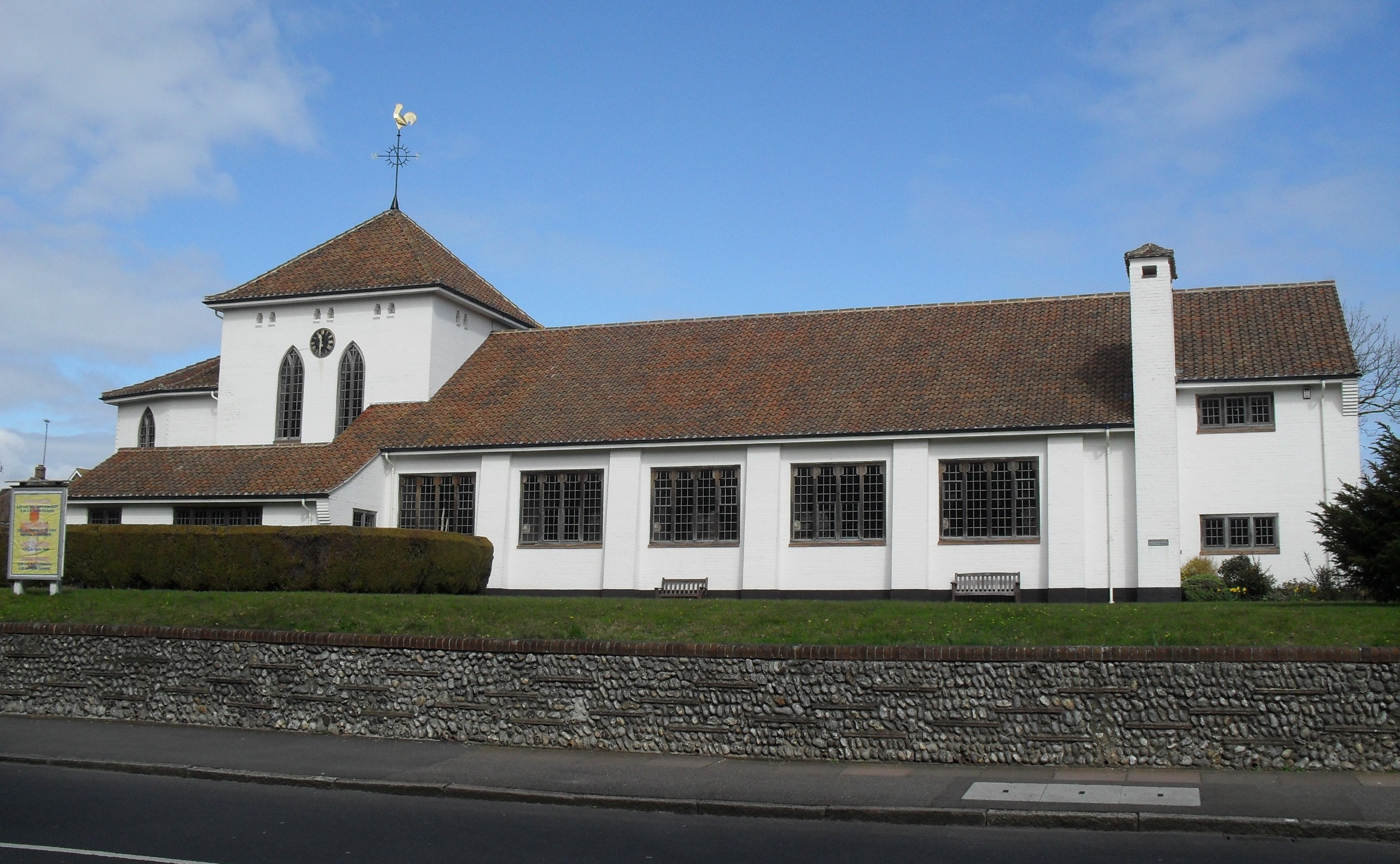
St Mary's Church, Hampden Park, Eastbourne

St Mary's Church (dedicated to St Mary the Virgin) is the Anglican parish church of the Hampden Park suburb of Eastbourne, a town and borough in the English...

Eastbourne District General Hospital

Eastbourne District General Hospital is a National Health Service hospital in Eastbourne in East Sussex, England. It is managed by the East Sussex Healthcare...

Nearby Amenities

Located within 500m of 50.791103,0.2864338
Crossing
Bicycle: yes
Button Operated: yes
Crossing: traffic_signals
Crossing Ref: toucan
Kerb: lowered
Tactile Paving: yes
Traffic Signals Sound: yes
Lat/Long: 50.7937738/0.2877758
Crossing
Bicycle: yes
Button Operated: yes
Crossing: traffic_signals
Crossing Ref: toucan
Kerb: lowered
Tactile Paving: yes
Traffic Signals Sound: yes
Lat/Long: 50.7936518/0.2878084
Post Box
Brand: Royal Mail
Brand Wikidata: Q638098
Brand Wikipedia: en:Royal Mail
Collection Times: Mo-Fr 09:00; Sa 07:00; Su off
Operator: Royal Mail
Operator Wikidata: Q638098
Post Box Type: pillar
Ref: BN22 828D
Royal Cypher: EIIR
Royal Cypher Wikidata: Q33102113
Source: survey
Lat/Long: 50.7938201/0.2832822
Atm
Drive Through: no
Lat/Long: 50.7931522/0.280261
Windy Ridge
Public Transport: station
Railway: station
Usage: tourism
Lat/Long: 50.7882891/0.2874059
Railway: crossing
Lat/Long: 50.7882171/0.2877832
Crossing
Lat/Long: 50.7944422/0.2891489
Crossing
Lat/Long: 50.7946168/0.2888308
Crossing
Lat/Long: 50.794481/0.2877002
Cafe
Bramptons Cafe
Addr City: Eastbourne
Addr Housenumber: 46
Addr Postcode: BN22 9BN
Addr Street: Brampton Road
Lat/Long: 50.7941212/0.2813332
Power: tower
Lat/Long: 50.7867304/0.2872914
Power: tower
Lat/Long: 50.7868118/0.2872834
Opening Hours: 10:00-16:15
Payment Cash: yes
Payment Maestro: yes
Payment Mastercard: yes
Payment Visa: yes
Payment Visa Electron: yes
Shop: ticket
Website: https://emsr.co.uk/
Wheelchair: yes
Lat/Long: 50.7884605/0.2877501
Entrance: yes
Payment Cash: yes
Payment Maestro: yes
Payment Mastercard: yes
Payment Visa: yes
Payment Visa Electron: yes
Shop: gift
Wheelchair: yes
Lat/Long: 50.7884719/0.2876867
Entrance: main
Lat/Long: 50.7884586/0.2877805
Carphone Warehouse
Addr City: Eastbourne
Addr Housename: Currys PC World
Addr Housenumber: Unit 2
Addr Postcode: BN22 9PW
Addr Street: Broadwater Way
Brand: Carphone Warehouse
Brand Wikidata: Q118046
Brand Wikipedia: en:Carphone Warehouse
Shop: mobile_phone
Lat/Long: 50.7918975/0.2802597
Crossing
Lat/Long: 50.7927702/0.2919352
Crossing
Lat/Long: 50.7927505/0.2917444
Crossing
Lat/Long: 50.7945357/0.2878346
Crossing
Lat/Long: 50.7945257/0.2889544
Fake Speed Camera
Note: Fake speed camera. See resolved note #3672412 (openstreetmap.org/note/3672412)
Lat/Long: 50.7923879/0.2922718
Railway: crossing
Lat/Long: 50.7872995/0.2836779
Playground: roundabout
Lat/Long: 50.7886135/0.2870943
Playground: aerialrotator
Lat/Long: 50.7886452/0.2870735
Playground: aerialrotator
Lat/Long: 50.7885941/0.287045
Playground: swing
Lat/Long: 50.7887272/0.287092
Playground: swing
Lat/Long: 50.7887149/0.2871171
Playground: swing
Lat/Long: 50.7887039/0.2871436
Playground: swing
Lat/Long: 50.7886924/0.2871645
Playground: structure
Lat/Long: 50.7886407/0.2867592
Playground: structure
Lat/Long: 50.7886593/0.2869271
Playground: structure
Lat/Long: 50.7885712/0.2868729
Fountain
Lat/Long: 50.7883904/0.2860144
Playground: swing
Lat/Long: 50.7884731/0.2868599
Playground: swing
Lat/Long: 50.7884731/0.2868311
The data included in this document is from www.openstreetmap.org. The data is made available under ODbL.

Have you been to Willingdon Levels?

Leave your review of Willingdon Levels below (or comments, questions and feedback).