Great West Fen
Downs, Moorland in Norfolk King's Lynn and West Norfolk
England
Great West Fen
Great West Fen is a vast expanse of land located in the county of Norfolk, England. Covering an area of approximately 10,000 hectares, it is one of the largest fenland areas in the country. The fen is situated near the village of Denver, to the west of the River Great Ouse.
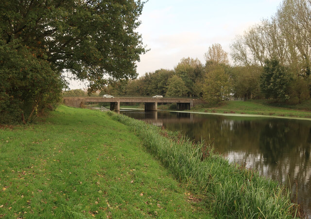
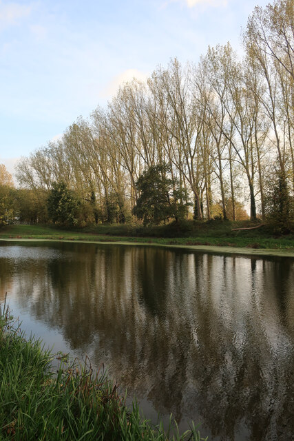
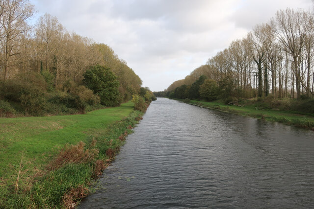
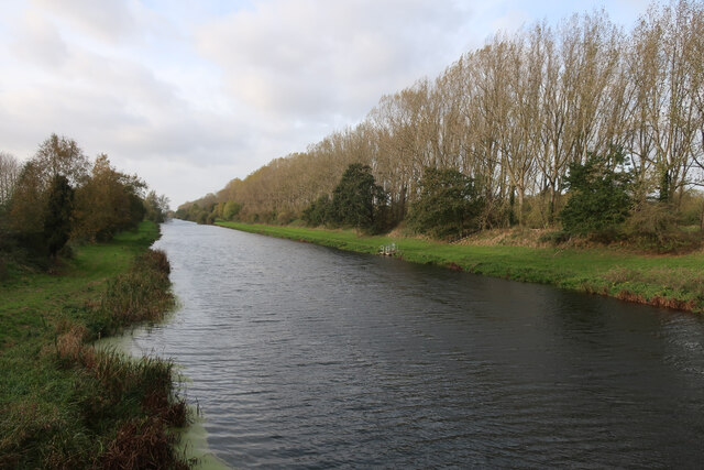
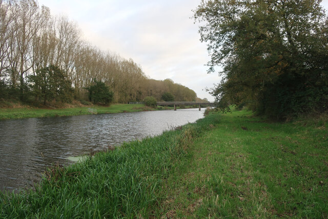
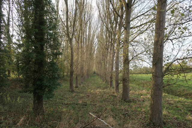
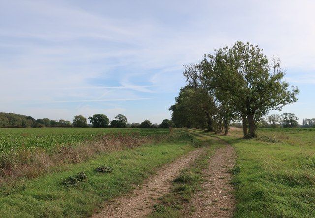
The landscape of Great West Fen is characterized by its flatness and extensive open spaces, with large areas of marshes, reed beds, and wet meadows. It is a haven for wildlife, attracting a diverse range of bird species, including bitterns, marsh harriers, and bearded tits. The fen also supports a variety of rare plants and insects, making it an important site for conservation.
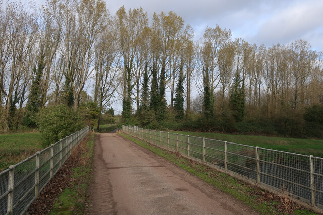
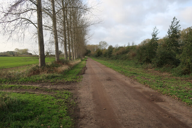
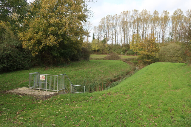
The area is crisscrossed by a network of drainage channels and ditches, which were historically used to manage the water levels and control flooding. These channels are still in use today and play a vital role in maintaining the delicate balance of the fenland ecosystem.
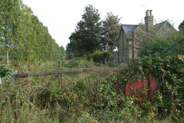
In addition to its natural beauty, Great West Fen also holds historical significance. The land has been cultivated for centuries and evidence of ancient settlements, including Roman and Anglo-Saxon remains, have been discovered within the fen. The area also played a role in the drainage of the fens during the 17th century, with the construction of drainage mills to reclaim the land for agriculture.
Great West Fen is a popular destination for nature enthusiasts, offering opportunities for birdwatching, walking, and photography. Its unique combination of diverse habitats, rich wildlife, and historical heritage make it a truly remarkable fenland area in Norfolk.
If you have any feedback on the listing, please let us know in the comments section below.
Great West Fen Images
Images are sourced within 2km of 52.555813/0.36879092 or Grid Reference TL6097. Thanks to Geograph Open Source API. All images are credited.


Great West Fen is located at Grid Ref: TL6097 (Lat: 52.555813, Lng: 0.36879092)
Administrative County: Norfolk
District: King's Lynn and West Norfolk
Police Authority: Norfolk
What 3 Words
///blushed.valley.cuddling. Near Southery, Norfolk
Nearby Locations
Related Wikis

Hilgay
Hilgay is a village and civil parish in Norfolk, England, 4 miles (6.4 km) from Downham Market. It covers an area of 33.38 km2 (12.89 sq mi) and had a...

Ouse Bridge railway station
Ouse Bridge railway station was a railway station in Norfolk, England. == History == The Lynn and Ely Railway (L&ER) had opened between King's Lynn and...
Modeney Priory
Modeney Priory—also spelled Modney and Modeny—was a Benedictine priory in the civil parish of Hilgay, Norfolk, England. Located less than a mile east of...

St Mary's Church, Fordham
St Mary's Church is located to the south of the village of Fordham, Norfolk, England. It is a redundant Anglican parish church in the care of the Friends...
Fordham, Norfolk
Fordham is a small village and civil parish in the English county of Norfolk. The village is located 2.2 miles (3.5 km) north of Downham Market and 39...

River Wissey
The River Wissey is a river in Norfolk, eastern England. It rises near Bradenham, and flows for nearly 31 miles (50 km) to join the River Great Ouse at...
Ryston railway station
Ryston railway station was a railway station serving Fordham, Norfolk. It was on a branch line from Denver. == History == The Downham and Stoke Ferry Railway...

1974 Norfolk mid-air collision
The 1974 Norfolk mid-air collision happened on 9 August 1974 at Fordham Fen, Norfolk, England when a Royal Air Force McDonnell-Douglas F-4M Phantom FGR...
Nearby Amenities
Located within 500m of 52.555813,0.36879092Have you been to Great West Fen?
Leave your review of Great West Fen below (or comments, questions and feedback).