Hellesdon
Settlement in Norfolk Broadland
England
Hellesdon
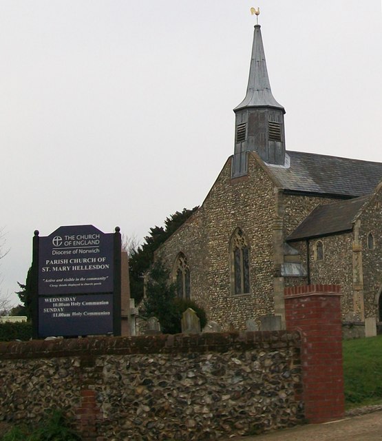
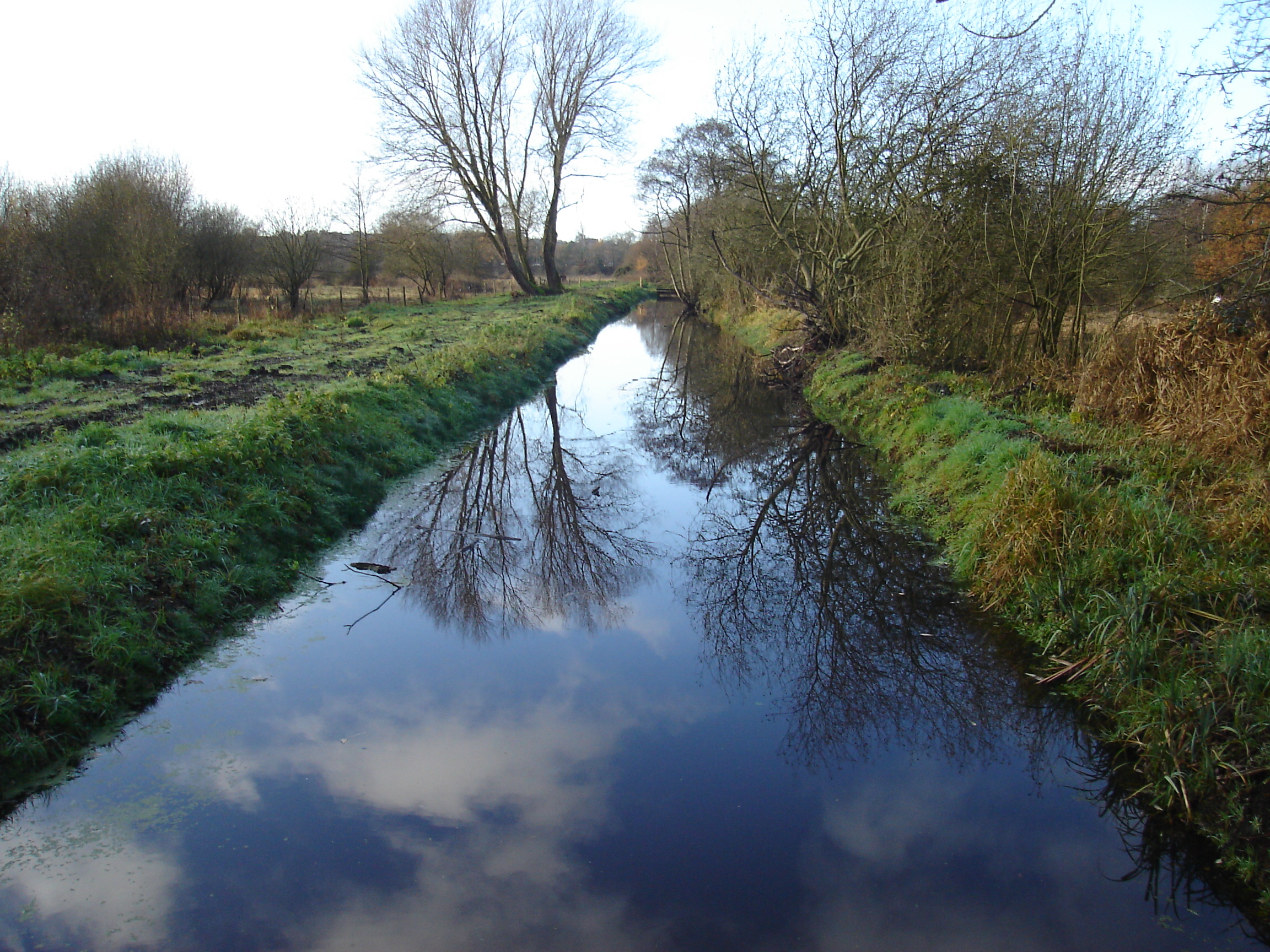
Hellesdon is a village and civil parish located in the county of Norfolk, England. It lies approximately 4 miles north-west of Norwich, the county town. The village is situated on high ground, overlooking the River Wensum, and is surrounded by beautiful countryside, making it an attractive place for residents and visitors alike.
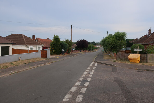
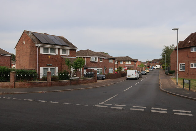
Historically, Hellesdon was a rural farming community, but it has seen significant development over the years and is now a thriving suburb of Norwich. The village offers a mix of housing, ranging from traditional cottages to modern estates, catering to a diverse population.
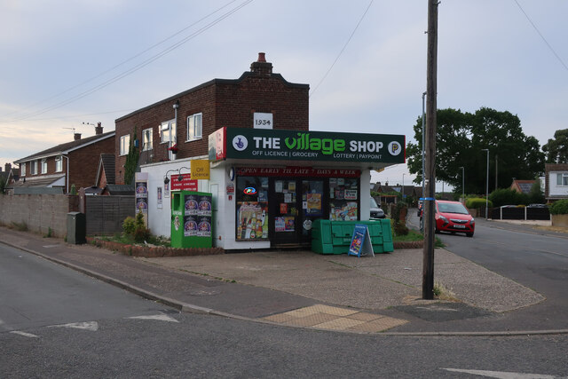
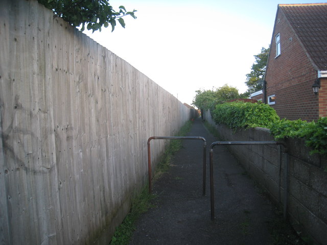
Hellesdon has a range of amenities to serve its residents, including several schools, a library, a medical center, and various shops and supermarkets. The village is well-connected with good transport links, including frequent bus services to Norwich and surrounding areas.
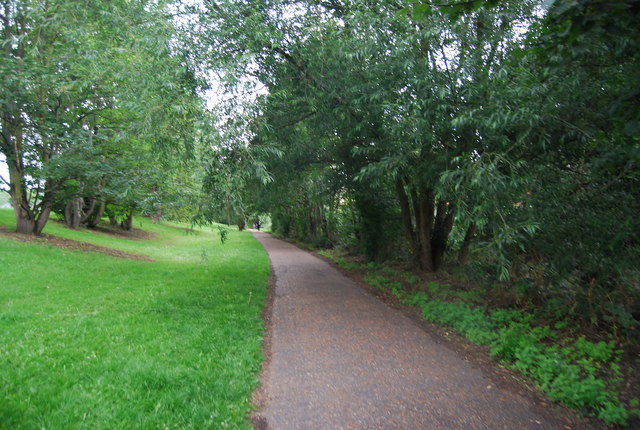
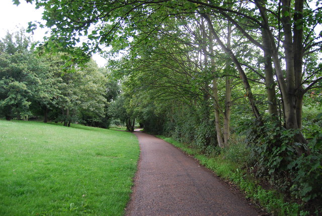
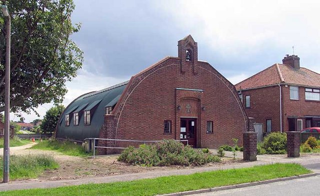
For those seeking recreational activities, Hellesdon has several green spaces and parks, such as Hellesdon Millennium Wood, which offers peaceful walks and wildlife spotting opportunities. The village is also home to Hellesdon Community Centre, which hosts various events and activities throughout the year.
Overall, Hellesdon offers a pleasant and convenient place to live, combining the charm of a rural village with the amenities and accessibility of a suburb. With its close proximity to Norwich, residents can easily access the city's employment opportunities, cultural attractions, and further amenities.
If you have any feedback on the listing, please let us know in the comments section below.
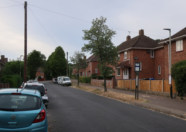
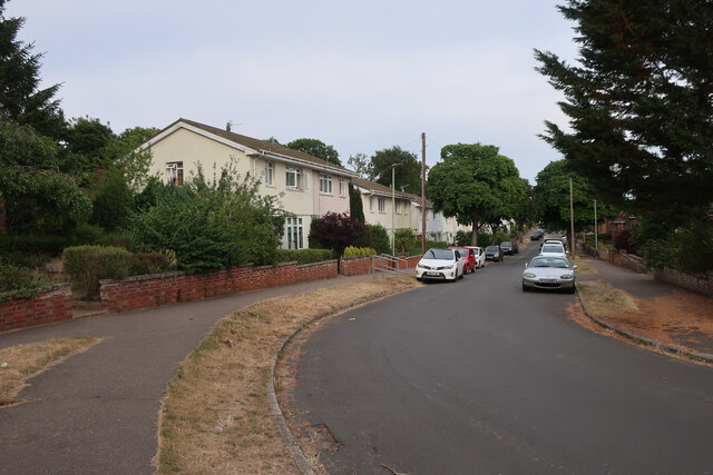
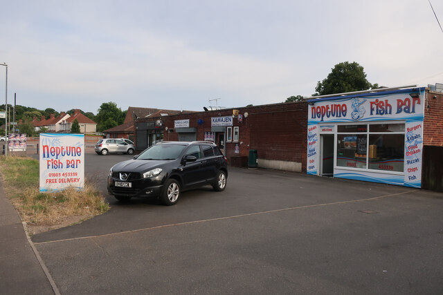
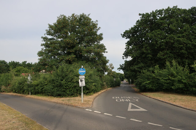
Hellesdon Images
Images are sourced within 2km of 52.6472/1.25 or Grid Reference TG2010. Thanks to Geograph Open Source API. All images are credited.


Hellesdon is located at Grid Ref: TG2010 (Lat: 52.6472, Lng: 1.25)
Administrative County: Norfolk
District: Broadland
Police Authority: Norfolk
What 3 Words
///wells.bricks.frock. Near Bowthorpe, Norfolk
Nearby Locations
Related Wikis
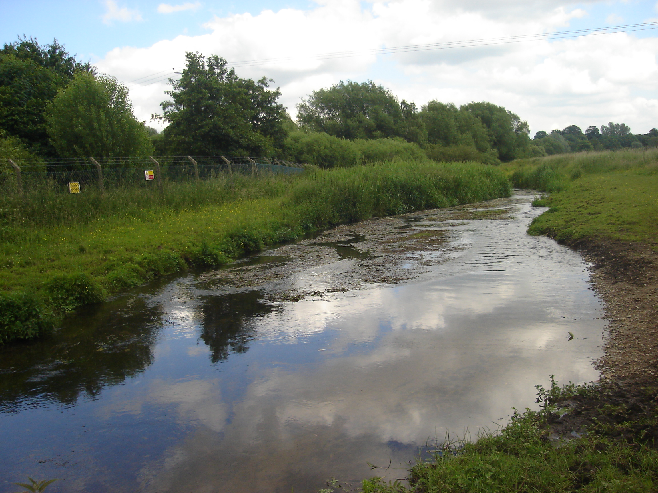
River Tud
River Tud is a tributary of the River Wensum, Norfolk in the East of England. The Tud's source is just south of East Dereham and it flows in an easterly...
Hellesdon
Hellesdon is a village in the District of Broadland in Norfolk, England. It lies approximately four miles (6 km) north-west of Norwich city centre and...

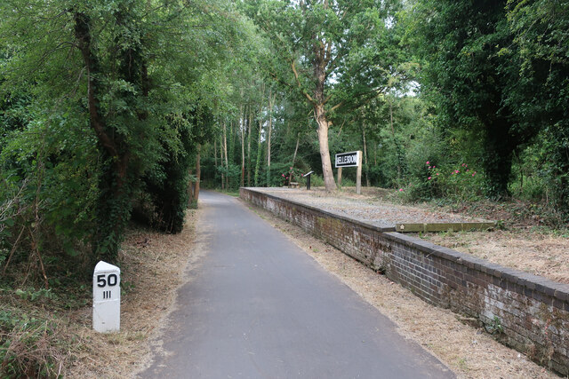
Hellesdon railway station
Hellesdon railway station is a former railway station in Norfolk, England, which served the area of Hellesdon, today virtually an outer suburb of Norwich...
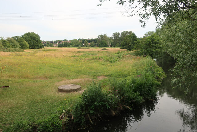
Sweetbriar Road Meadows, Norwich
Sweetbriar Road Meadows is a 9.7-hectare (24-acre) biological Site of Special Scientific Interest in Norwich in Norfolk. == Description == Enclosed between...
Nearby Amenities
Located within 500m of 52.6472,1.25Have you been to Hellesdon?
Leave your review of Hellesdon below (or comments, questions and feedback).