Bancroft Field
Downs, Moorland in Cambridgeshire East Cambridgeshire
England
Bancroft Field
Bancroft Field is a picturesque area located in Cambridgeshire, England. Situated in the Downs and Moorland region, it offers visitors a delightful combination of natural beauty, tranquility, and historical significance.
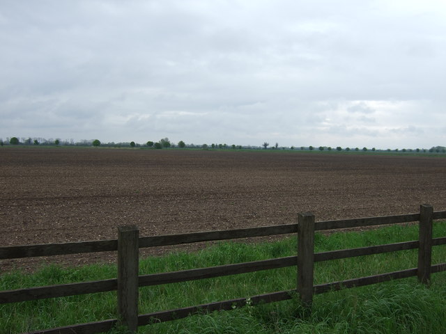
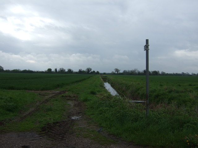
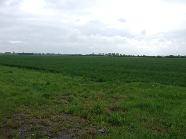
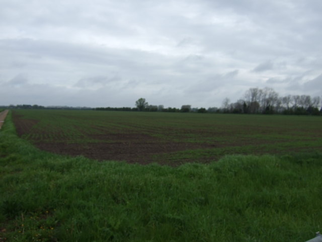
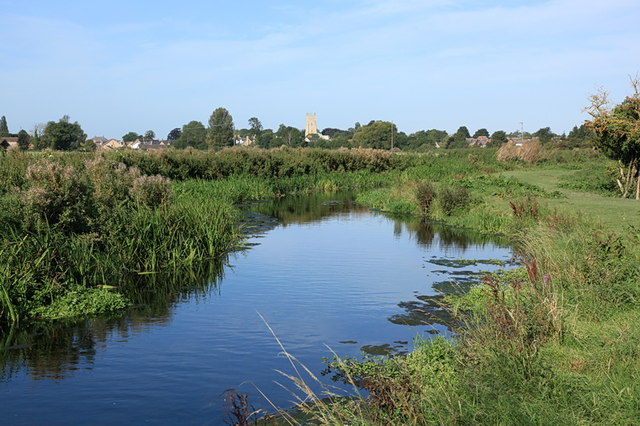
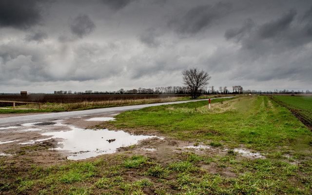
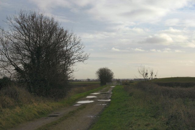
Covering an extensive area of lush greenery, Bancroft Field is a haven for nature enthusiasts and outdoor lovers. The landscape is characterized by rolling hills, open fields, and scattered clusters of trees, providing a scenic backdrop for leisurely walks or picnics. The field is home to a diverse range of flora and fauna, with wildflowers blooming in abundance during the spring and summer months. Birdwatchers can spot various species including larks, finches, and kestrels soaring through the sky.
The historical significance of Bancroft Field adds to its allure. The field is believed to have been used as a meeting place and gathering spot for centuries. Rich in archaeological finds, it has yielded artifacts from different time periods, including Roman coins and pottery fragments. This historical significance adds an extra layer of intrigue to the field, making it a compelling destination for history enthusiasts.
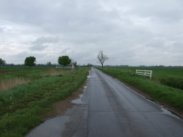
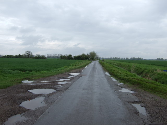
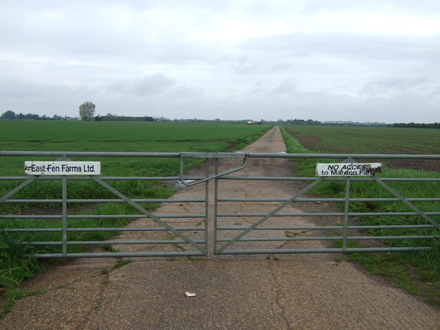
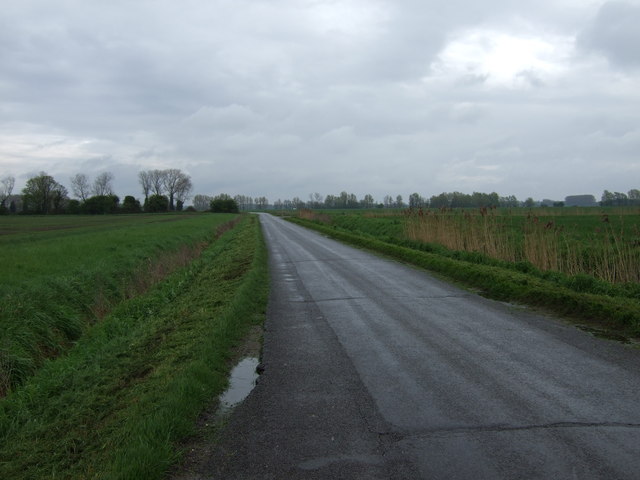
Access to Bancroft Field is convenient, with well-maintained footpaths and trails crisscrossing the area. Visitors can enjoy a leisurely stroll while taking in the panoramic views or opt for a more active experience by embarking on a longer hike or bike ride.
Overall, Bancroft Field in Cambridgeshire offers a captivating blend of natural beauty and historical significance, making it a must-visit destination for those seeking a tranquil and enriching outdoor experience.
If you have any feedback on the listing, please let us know in the comments section below.
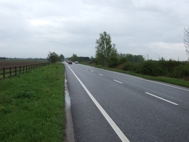
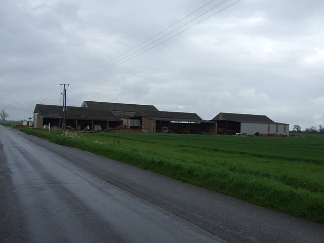
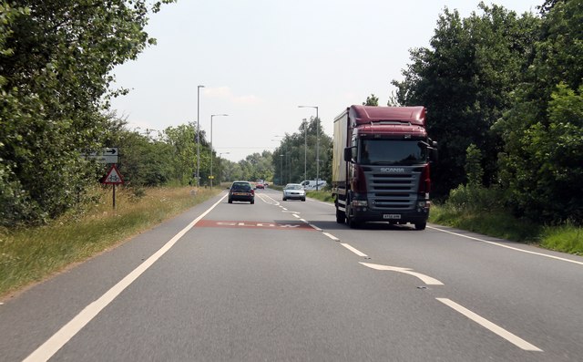
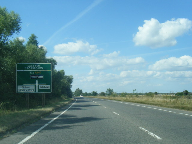
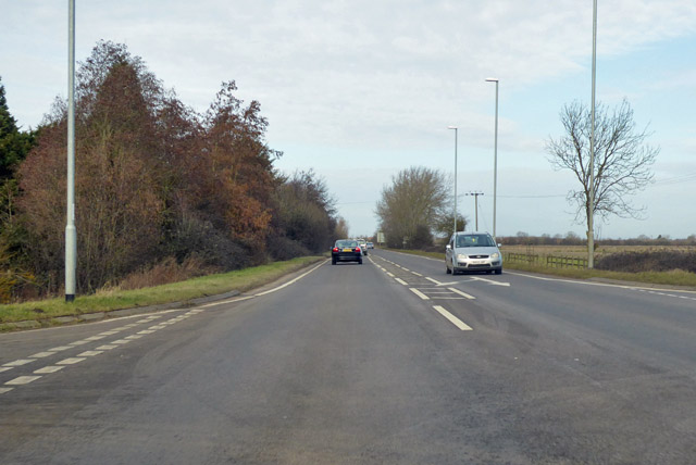
Bancroft Field Images
Images are sourced within 2km of 52.349467/0.34525941 or Grid Reference TL5974. Thanks to Geograph Open Source API. All images are credited.


Bancroft Field is located at Grid Ref: TL5974 (Lat: 52.349467, Lng: 0.34525941)
Administrative County: Cambridgeshire
District: East Cambridgeshire
Police Authority: Cambridgeshire
What 3 Words
///washable.universal.solo. Near Soham, Cambridgeshire
Nearby Locations
Related Wikis

Soham Town Rangers F.C.
Soham Town Rangers Football Club is an English football club based in Soham, Cambridgeshire. The club are currently members of the Eastern Counties League...

Soham
Soham ( SOH-əm) is a town and civil parish in the district of East Cambridgeshire, in Cambridgeshire, England, just off the A142 between Ely and Newmarket...
Soham Abbey
Soham Abbey was an Anglo-Saxon monastery in Soham, which at the time was in the Kingdom of East Anglia. Constructed by St Felix of Burgundy during the...

Soham rail disaster
The Soham rail disaster occurred on 2 June 1944, during the Second World War, when a fire developed on the leading wagon of a heavy ammunition train....
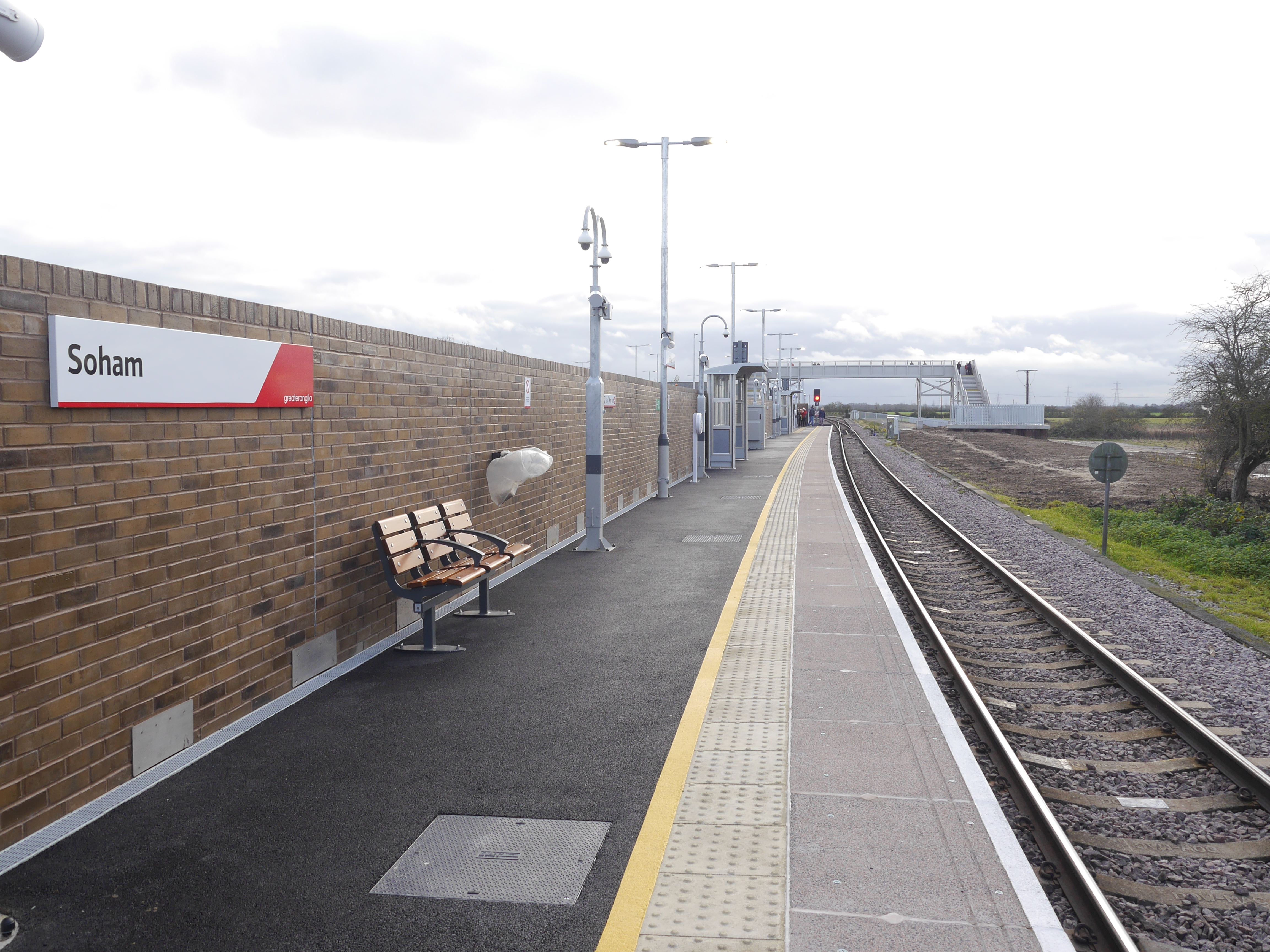
Soham railway station
Soham railway station is a station on the Ipswich–Ely line, serving the town of Soham in Cambridgeshire. The original station operated between 1879 and...

Soham Village College
Soham Village College is a secondary school with academy status located in Soham, Cambridgeshire, England. It has around 1,400 pupils, aged 11 to 16. Although...

Soham Wet Horse Fen
Soham Wet Horse Fen is a 33.8-hectare (84-acre) biological Site of Special Scientific Interest east of Soham in Cambridgeshire. A 3.6-hectare (8.9-acre...

Delph Bridge Drain
Delph Bridge Drain is a 0.15-hectare (0.37-acre) biological Site of Special Scientific Interest north-west of Soham in Cambridgeshire.This site has the...
Nearby Amenities
Located within 500m of 52.349467,0.34525941Have you been to Bancroft Field?
Leave your review of Bancroft Field below (or comments, questions and feedback).