Hilgay Fen
Downs, Moorland in Norfolk King's Lynn and West Norfolk
England
Hilgay Fen

Hilgay Fen is a picturesque area located in the county of Norfolk, England. It is situated in the village of Hilgay, which lies on the western edge of the Norfolk Fens. The fen is a low-lying marshy area characterized by its rich biodiversity and beautiful natural landscapes.
The fen is a unique ecosystem featuring a mix of wetlands, grasslands, and reed beds. It is home to a wide variety of plant and animal species, including rare and protected species. The area is particularly known for its diverse bird population, with numerous species such as bitterns, marsh harriers, and water rails making their homes here.
Hilgay Fen has a rich history dating back centuries. It was once an important site for peat extraction, which was used as fuel for heating and cooking. Today, remnants of these peat diggings can still be seen in the landscape. The fen also played a significant role in the drainage of the Norfolk Fens, contributing to the agricultural development of the region.
Visitors to Hilgay Fen can enjoy exploring the various walking trails and nature reserves that dot the area. These provide opportunities to observe the abundant wildlife and enjoy the tranquility of the surroundings. Additionally, the fen is a popular spot for birdwatching enthusiasts, who flock to the area to catch a glimpse of its vibrant avian residents.
In summary, Hilgay Fen is a captivating natural area in Norfolk, offering a diverse range of habitats and species. It is a haven for nature lovers, providing a peaceful retreat amidst its stunning landscapes and abundant wildlife.
If you have any feedback on the listing, please let us know in the comments section below.
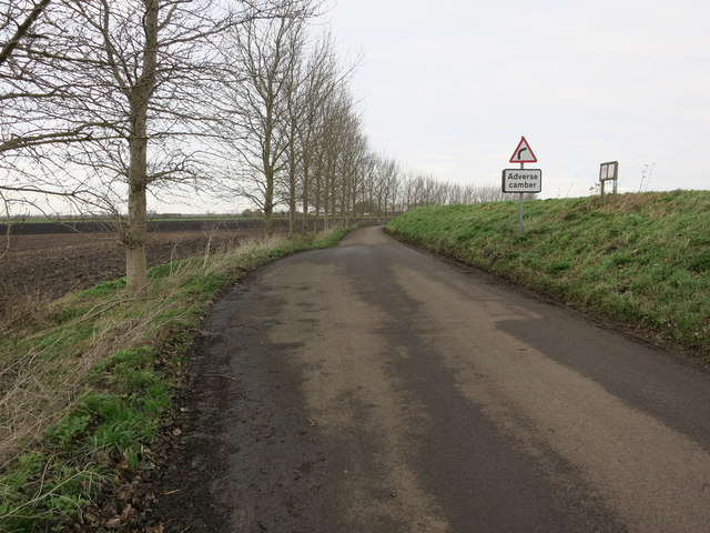
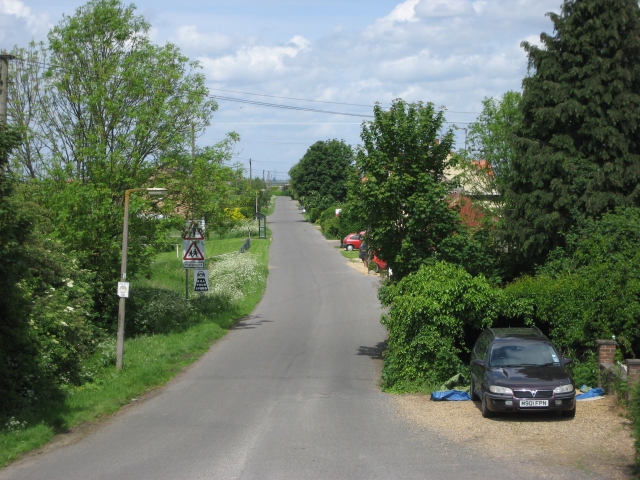
Hilgay Fen Images
Images are sourced within 2km of 52.530725/0.3308007 or Grid Reference TL5895. Thanks to Geograph Open Source API. All images are credited.


Hilgay Fen is located at Grid Ref: TL5895 (Lat: 52.530725, Lng: 0.3308007)
Administrative County: Norfolk
District: King's Lynn and West Norfolk
Police Authority: Norfolk
What 3 Words
///recording.palms.showering. Near Southery, Norfolk
Nearby Locations
Related Wikis

Hilgay railway station
Hilgay railway station was a station in Hilgay, Norfolk, United Kingdom which is now closed. It was on the Fen Line between King's Lynn and Cambridge....
Modeney Priory
Modeney Priory—also spelled Modney and Modeny—was a Benedictine priory in the civil parish of Hilgay, Norfolk, England. Located less than a mile east of...
Black Horse Drove
Black Horse Drove is a linear hamlet that lies 7 miles (11 km) north-north-east of Ely in Cambridgeshire, England in the civil parish of Littleport ....
Ouse Bridge railway station
Ouse Bridge railway station was a railway station in Norfolk, England. == History == The Lynn and Ely Railway (L&ER) had opened between King's Lynn and...

Southery
Southery is a village and civil parish in Norfolk, England, which covers an area of 18.12 km2 (7.00 sq mi) and had a population of 1,324 at the 2011 Census...

River Wissey
The River Wissey is a river in Norfolk, eastern England. It rises near Bradenham, and flows for nearly 31 miles (50 km) to join the River Great Ouse at...

River Little Ouse
The River Little Ouse, also known as the Brandon River, is a river in the east of England, a tributary of the River Great Ouse. For much of its length...

Hilgay
Hilgay is a village and civil parish in Norfolk, England, 4 miles (6.4 km) from Downham Market. It covers an area of 33.38 km2 (12.89 sq mi) and had a...
Nearby Amenities
Located within 500m of 52.530725,0.3308007Have you been to Hilgay Fen?
Leave your review of Hilgay Fen below (or comments, questions and feedback).