Church Land
Downs, Moorland in Essex Uttlesford
England
Church Land
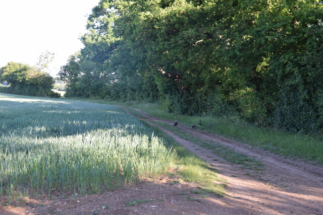
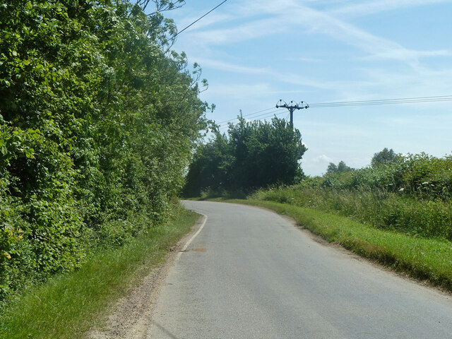
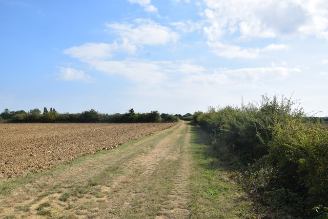
Church Land in Essex is a diverse landscape encompassing downs and moorland areas. Located in the southeastern part of England, it offers a picturesque and serene environment. The downs, characterized by rolling hills and open grassland, provide stunning views of the surrounding countryside. The moorland, on the other hand, features a more rugged terrain with heather and gorse covering the land.
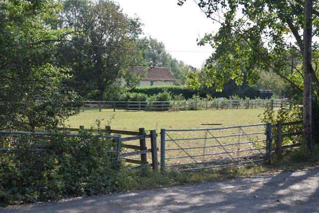
The downs of Church Land are known for their rich biodiversity. They serve as habitats for various plant and animal species, including wildflowers, butterflies, and birds. The grassy slopes are often grazed by livestock, contributing to the maintenance of the ecosystem. Visitors can enjoy leisurely walks or hikes along the well-marked trails, taking in the beautiful scenery and observing the wildlife.
In contrast, the moorland areas of Church Land offer a different experience. Here, visitors can explore the wild and untamed landscapes, with its rocky outcrops and heathland. The moorland is an important habitat for a range of plant species, such as heather and bilberry. It is also home to various bird species, including the iconic red grouse.
Church Land, Essex, provides an opportunity for nature enthusiasts and outdoor lovers to immerse themselves in the beauty of the English countryside. Whether it's enjoying a peaceful walk on the downs or exploring the rugged moorland, visitors can experience the tranquility and natural wonders this landscape has to offer.
If you have any feedback on the listing, please let us know in the comments section below.
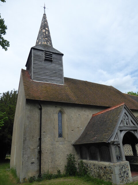
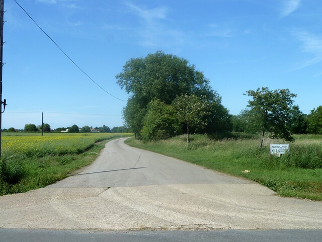
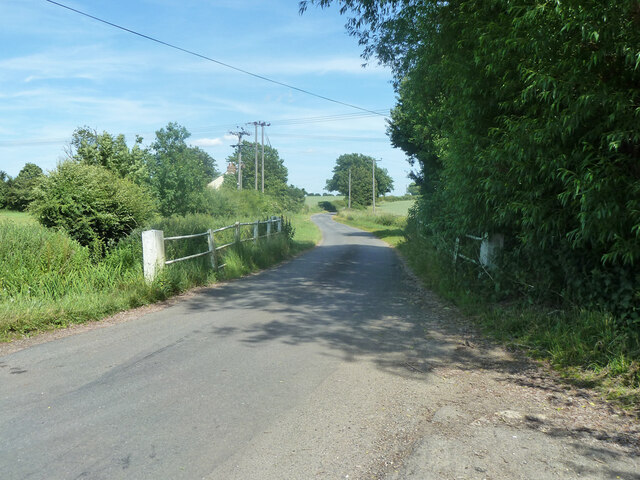
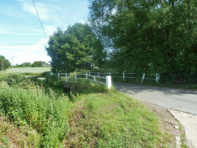
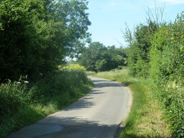
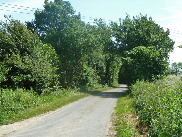
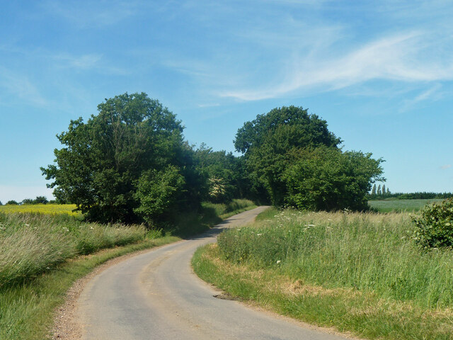
Church Land Images
Images are sourced within 2km of 51.809789/0.28586949 or Grid Reference TL5714. Thanks to Geograph Open Source API. All images are credited.


Church Land is located at Grid Ref: TL5714 (Lat: 51.809789, Lng: 0.28586949)
Administrative County: Essex
District: Uttlesford
Police Authority: Essex
What 3 Words
///slippery.tweeted.shadowed. Near Hatfield Heath, Essex
Nearby Locations
Related Wikis

Aythorpe Roding
Aythorpe Roding is a village and civil parish in the Uttlesford district of Essex, England. The village is included in the eight hamlets and villages called...

The Rodings
The Rodings are a group of eight villages in the upper part of the River Roding and the west of Essex, England, the largest group in the country to bear...
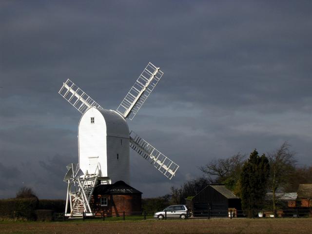
Aythorpe Roding Windmill
Aythorpe Roding Windmill is a Grade II* listed Post mill at Aythorpe Roding, Essex, England which has been restored to working order. == History == Aythorpe...

White Roding
White Roding is a village and civil parish in the Uttlesford district of Essex, England. The village is included in the eight hamlets and villages called...

White Roding Windmill
White Roding Windmill is a Grade II listed preserved tower mill at White Roding, Essex, England. == History == White Roding Windmill was built in 1877...

Leaden Roding
Leaden Roding is a village and civil parish in the Uttlesford district of Essex, England. The village is included in the eight hamlets and villages called...

High Roding
High Roding is a village and civil parish in the Uttlesford district of Essex, England. The village is included in the eight hamlets and villages called...

Abbess Roding
Abbess Roding is a village and former civil parish, now in the parish of Abbess, Beauchamp and Berners Roding and the Epping Forest District of Essex,...
Nearby Amenities
Located within 500m of 51.809789,0.28586949Have you been to Church Land?
Leave your review of Church Land below (or comments, questions and feedback).