Change Common

Downs, Moorland in Essex Uttlesford

England

Change Common

Gruesome relic at Hellman's Cross On the south side of the crossroad are these stocks and whipping post. The information plaque on the fencing reads: "These stocks were replaced by the Parish Council to commemorate the millennium 2000AD. The whipping post was also restored. Last recorded use of the stocks was in 1860 for a case of drunkenness. This is also the site where Elizabeth Abbot of Helmans, Great Canfield was burnt as a witch in 1683."
Gruesome relic at Hellman's Cross Credit: Trevor Harris

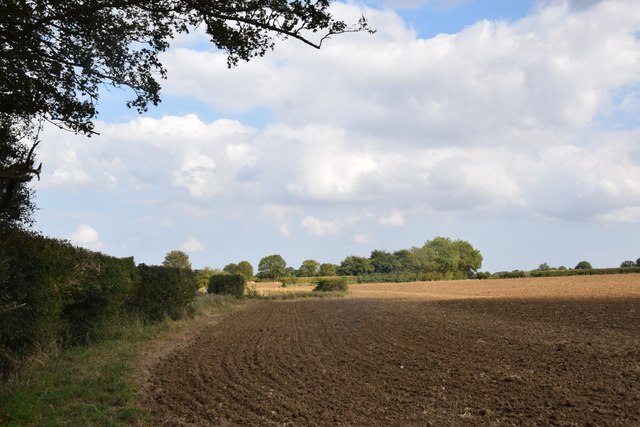
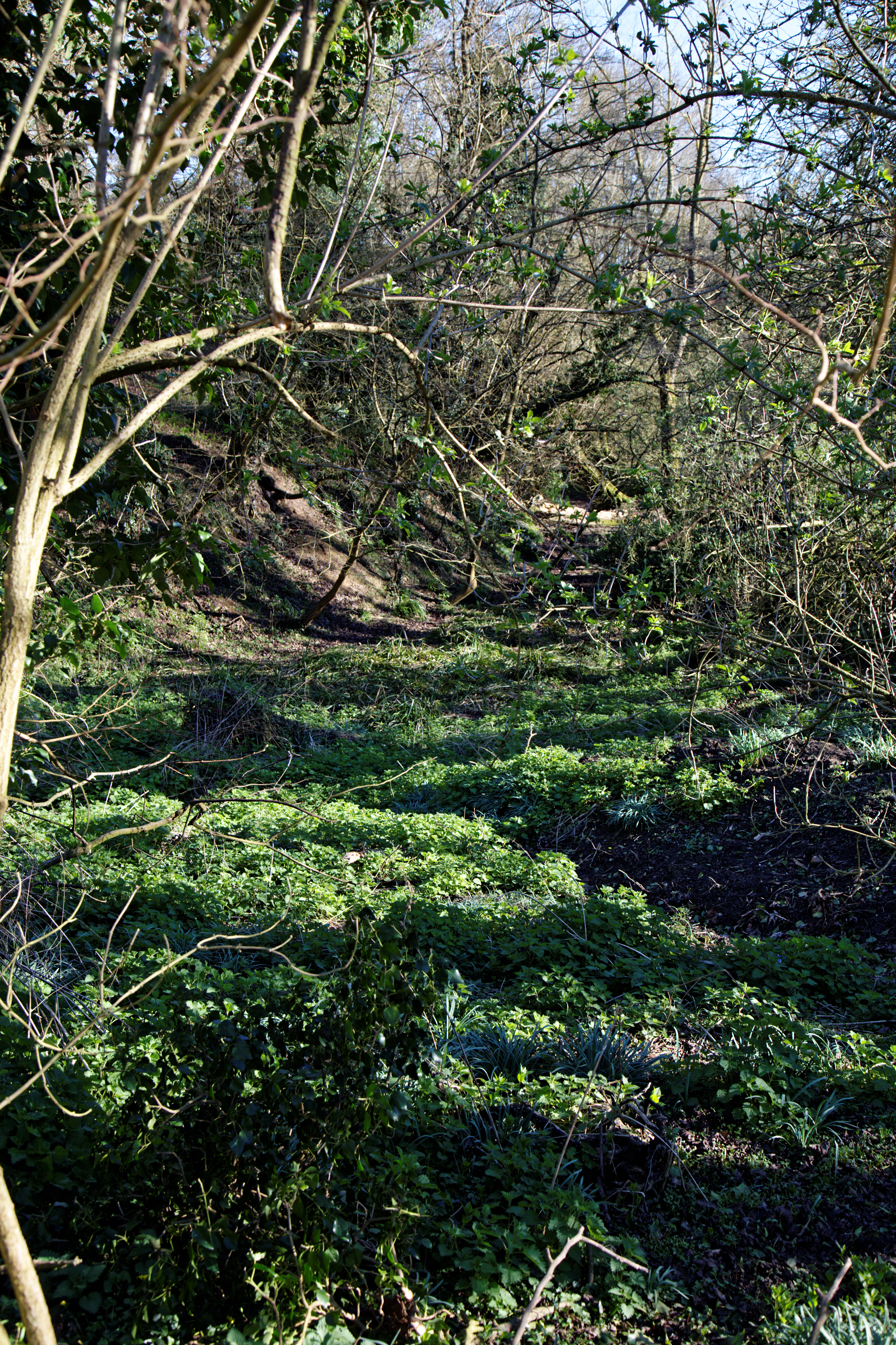
Change Common, located in Essex, is a picturesque area that encompasses both downs and moorland landscapes. Stretching across a vast expanse of approximately 200 acres, it offers a diverse range of natural beauty and wildlife.

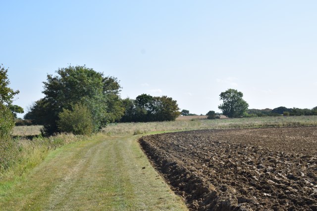
The downs in Change Common are characterized by rolling hills and open grasslands, providing stunning views of the surrounding countryside. The area is home to an array of wildflowers, including vibrant purple heather and delicate buttercups, which create a kaleidoscope of colors during the summer months. Additionally, the downs provide a habitat for various bird species, such as skylarks and kestrels, making it a popular spot for birdwatchers.

In contrast, the moorland in Change Common offers a distinct landscape with its heathland vegetation and scattered patches of wetland. This unique environment supports a range of flora and fauna, including heather, gorse, and bilberry bushes. The moorland is also home to several reptiles, such as adders and common lizards, as well as various bird species like stonechats and meadow pipits.

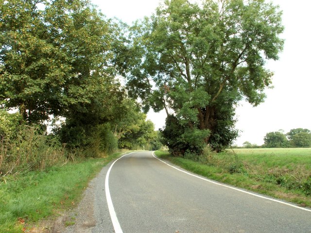
Visitors to Change Common can explore the area through a network of walking trails and footpaths, allowing them to immerse themselves in the beauty of nature. The tranquil surroundings offer a peaceful and serene escape from the hustle and bustle of everyday life.

Overall, Change Common is a remarkable natural landscape that showcases the diversity of Essex's countryside. Its combination of downs and moorland creates a unique environment that attracts both nature enthusiasts and those seeking a peaceful retreat.

If you have any feedback on the listing, please let us know in the comments section below.

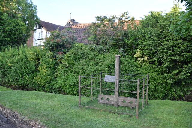
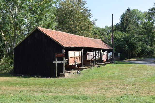
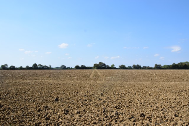
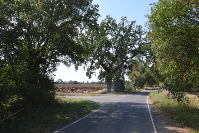
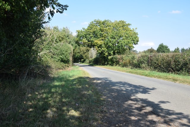
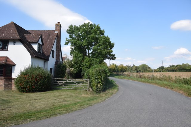
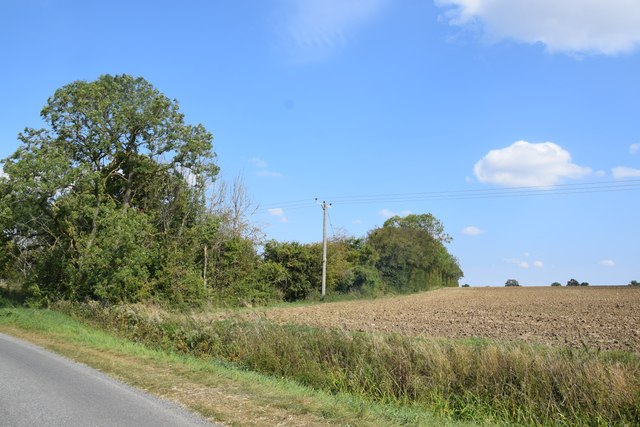
Change Common Images

Images are sourced within 2km of 51.835838/0.28136793 or Grid Reference TL5717. Thanks to Geograph Open Source API. All images are credited.

Gruesome relic at Hellman's Cross On the south side of the crossroad are these stocks and whipping post. The information plaque on the fencing reads: "These stocks were replaced by the Parish Council to commemorate the millennium 2000AD. The whipping post was also restored. Last recorded use of the stocks was in 1860 for a case of drunkenness. This is also the site where Elizabeth Abbot of Helmans, Great Canfield was burnt as a witch in 1683."
Gruesome relic at Hellman's Cross
On the south side of the crossroad are these stocks and whipping post. The information plaque on the fencing reads: "These stocks were replaced by the Parish Council to commemorate the millennium 2000AD. The whipping post was also restored. Last recorded use of the stocks was in 1860 for a case of drunkenness. This is also the site where Elizabeth Abbot of Helmans, Great Canfield was burnt as a witch in 1683."
Shed with trailers  One of the farm buildings at Crabbs Green Farm.
Shed with trailers
One of the farm buildings at Crabbs Green Farm.
Field and farm track at Crabbs Green Farm The field has been freshly ploughed and a harrow is working nearby.
Field and farm track at Crabbs Green Farm
The field has been freshly ploughed and a harrow is working nearby.
Field north of Crabbs Green Farm Taken from Crabbs Green Lane looking west. The tractor track dead ahead shows the line of the public footpath crossing this field.
Field north of Crabbs Green Farm
Taken from Crabbs Green Lane looking west. The tractor track dead ahead shows the line of the public footpath crossing this field.
Road junction at Taverners Green With the lane called Crabbs Green on the left ahead.
Road junction at Taverners Green
With the lane called Crabbs Green on the left ahead.
On the lane to Broomshawbury Looking north here with the fingerpost for Boxley Lane just visible in the centre ahead.
On the lane to Broomshawbury
Looking north here with the fingerpost for Boxley Lane just visible in the centre ahead.
House north of Broomshawbury Taken from just outside the private entrance to Broomshawbury Farm.
House north of Broomshawbury
Taken from just outside the private entrance to Broomshawbury Farm.
Field and copse near Woolard's Ash Taken on the lane to Broomshawbury,
Field and copse near Woolard's Ash
Taken on the lane to Broomshawbury,
Field south of Greenhill Is beside, or was part of Brumsted Common.
Field south of Greenhill
Is beside, or was part of Brumsted Common.
Country road near Great Canfield, Essex
Peckers farmhouse, near Hellman's Cross, Essex Hellman's Cross is close to Great Canfield. The road in the photo is Green Street.
Peckers farmhouse, near Hellman's Cross, Essex
Hellman's Cross is close to Great Canfield. The road in the photo is Green Street.
Green Street, Hellman's Cross, near Great Canfield, Essex
Farmhouse at Grange Farm, Great Canfield, Essex
Farm reservoir at Broomshawbury
Farmland Newly ploughed
Farmland
Newly ploughed
Track from Crabbs Green
Bennington's Cottages at Taverners Green
Hatfield Regis Grange
Show me another place!

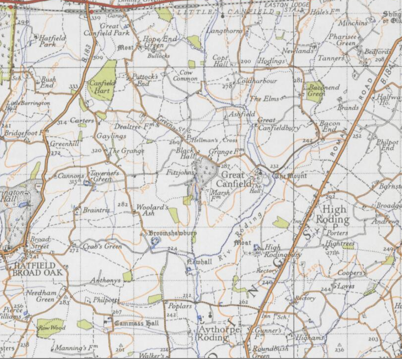
Change Common is located at Grid Ref: TL5717 (Lat: 51.835838, Lng: 0.28136793)

Administrative County: Essex

District: Uttlesford

Police Authority: Essex

What 3 Words

///skate.stapled.condensed. Near Takeley, Essex

Nearby Locations

Change Common

Related Wikis

Taverners Green

Taverners Green is a hamlet in the Hatfield Broad Oak civil parish of the Uttlesford district, in the county of Essex, England. Nearby settlements include...

Great Canfield

Great Canfield is a village and a civil parish in the Uttlesford district of Essex, England. The village, which sits at the south-east edge of its civil...

Little Canfield

Little Canfield is a village and a civil parish in the Uttlesford district of Essex, England. The village is situated the B1256 road, near the A120 road...

Great Canfield Castle

Great Canfield Castle lies in the small village of Great Canfield, 3 miles (5 km) south-west of Great Dunmow in Essex, England: grid reference TL595179...

Barrington Hall, Essex

Barrington Hall is a Grade II* listed 18th-century English country house in Hatfield Broad Oak, Essex, England. Barrington Hall is built in red brick...

Baconend Green

Baconend Green is a hamlet in the Uttlesford district of Essex, England. It is within the parish of Great Canfield.

Bacon End

Bacon End is a hamlet in the civil parish of Great Canfield, and near Great Canfield Castle, in Essex, England. == References == == External links == mid...

Hatfield Regis Priory

Hatfield Broad Oak Priory, or Hatfield Regis Priory, is a former Benedictine priory in Hatfield Broad Oak, Essex, England. Founded by 1139, it was dissolved...

Nearby Amenities

Located within 500m of 51.835838,0.28136793
Woolards Ash
Place: hamlet
Lat/Long: 51.8316113/0.2788851
Colour: red and white
Inscription: HP GAS
Marker: aerial
Utility: gas
Lat/Long: 51.8365398/0.2754089
Colour: white
Marker: trumpet
Utility: gas
Lat/Long: 51.8365219/0.2752564
Change Common
Place: locality
Lat/Long: 51.8357914/0.2815155
The data included in this document is from www.openstreetmap.org. The data is made available under ODbL.

Have you been to Change Common?

Leave your review of Change Common below (or comments, questions and feedback).