Blockmoor Fen

Downs, Moorland in Cambridgeshire East Cambridgeshire

England

Blockmoor Fen

IHP Cotes Farm, The Cotes, Soham, from the railway
IHP Cotes Farm, The Cotes, Soham, from the railway Credit: Christopher Hilton

Blockmoor Fen is a picturesque nature reserve located in the county of Cambridgeshire, England. Spanning over a vast area of downs and moorland, it offers visitors a unique and captivating experience of the natural beauty that the region has to offer.

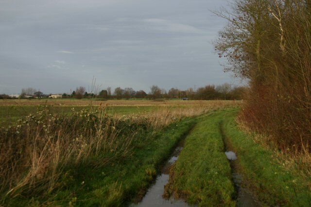
The fen is characterized by its diverse ecosystem, consisting of wetlands, reed beds, and open grasslands. These habitats provide a sanctuary for a wide range of plant and animal species, making it a haven for nature enthusiasts and wildlife lovers. Rare species such as water voles, otters, and various bird species including bitterns and marsh harriers can be spotted in this area.

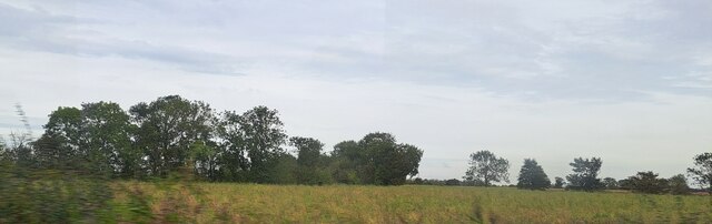
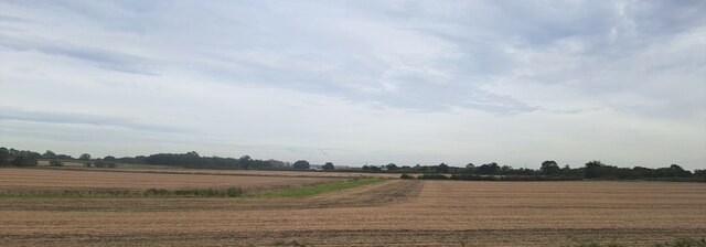
The landscape of Blockmoor Fen is visually stunning, with rolling hills covered in vibrant purple heather during the summer months. The open expanses of moorland are dotted with gorse and bracken, adding to the picturesque scenery.

Visitors to Blockmoor Fen can enjoy a variety of activities such as walking, birdwatching, and photography. The reserve offers well-maintained footpaths and observation points, allowing visitors to explore and appreciate the natural wonders of the area. Educational activities and guided tours are also available, providing visitors with an opportunity to learn about the unique flora and fauna that thrive in this habitat.

Overall, Blockmoor Fen is a remarkable nature reserve that showcases the beauty and diversity of Cambridgeshire's landscape. Its tranquil surroundings and rich wildlife make it a must-visit destination for nature enthusiasts and those seeking to connect with the natural world.

If you have any feedback on the listing, please let us know in the comments section below.

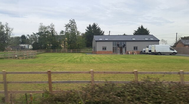
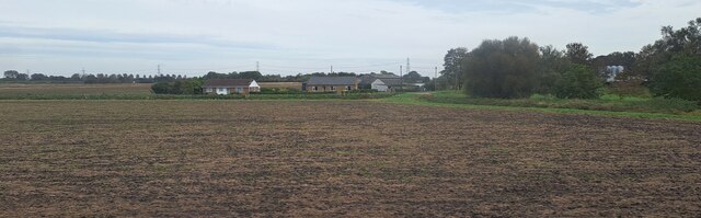
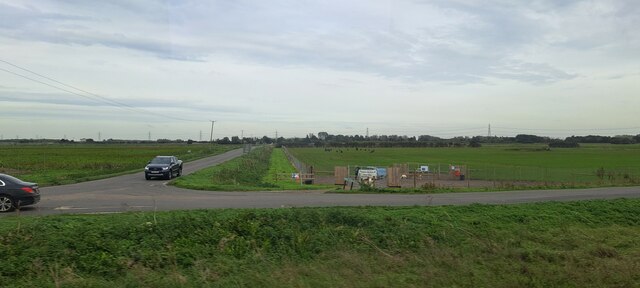
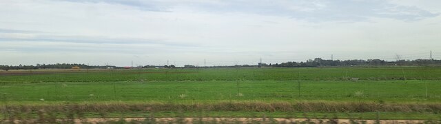
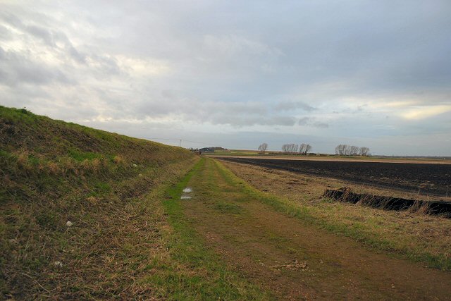
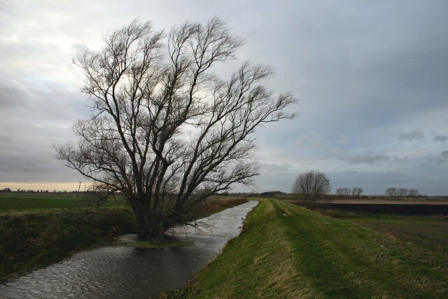
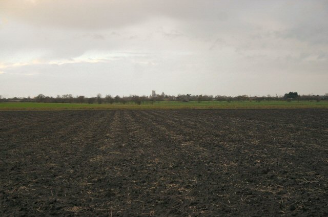
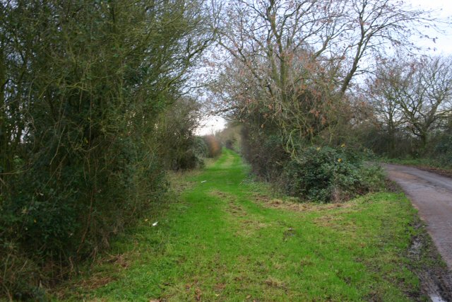
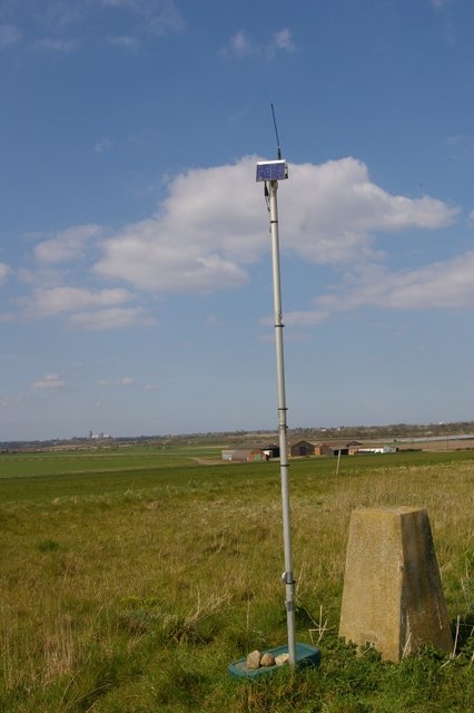
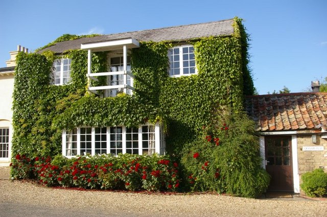
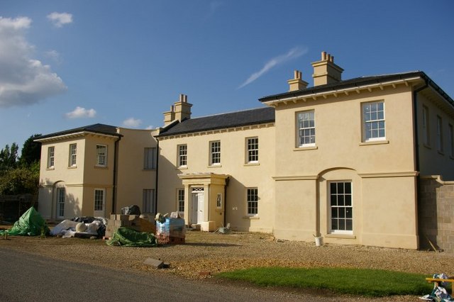
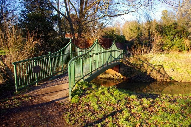
Blockmoor Fen Images

Images are sourced within 2km of 52.35886/0.30432521 or Grid Reference TL5775. Thanks to Geograph Open Source API. All images are credited.

IHP Cotes Farm, The Cotes, Soham, from the railway
House on The Cotes, Soham
Westcote, Blockmoor Road, from the railway
Road junction at Barway Level Crossing, from the railway Tucked into the land between the roads is Soham Dog Park.
Road junction at Barway Level Crossing, from the railway
Tucked into the land between the roads is Soham Dog Park.
Fields north of Barway Road, from the railway In the foreground, Two Pole Drove runs parallel to the railway line.  In the distance, traffic marks the line of the road from Soham to Ely.
Fields north of Barway Road, from the railway
In the foreground, Two Pole Drove runs parallel to the railway line. In the distance, traffic marks the line of the road from Soham to Ely.
Woodland by the railway line, near Half Acre Lane The curving track of Half Acre Lane on the map, following a contour line, marks out this little area of higher ground, in which a small wood grows on what would once have been an island.
Woodland by the railway line, near Half Acre Lane
The curving track of Half Acre Lane on the map, following a contour line, marks out this little area of higher ground, in which a small wood grows on what would once have been an island.
Fields and drain south of Stuntney, from the railway The village of Stuntney lies on slightly higher ground that would once have been an island in the Fens (the "-ey" suffix is a giveaway, descending from the Anglo-Saxon "ea", island), and to the left the land can be seen rising out of the flatlands that were once marsh.
Fields and drain south of Stuntney, from the railway
The village of Stuntney lies on slightly higher ground that would once have been an island in the Fens (the "-ey" suffix is a giveaway, descending from the Anglo-Saxon "ea", island), and to the left the land can be seen rising out of the flatlands that were once marsh.
Mill Farm, Soham Northfield Windmill, also known as Townsend or The Shade Windmill, is situated at the north end of Soham. It was converted and moved to its present location in 1830 and is one of the smallest mills in Cambridgeshire. Originally it had four sails but for many years it was still working with only two sails. By 1964 the windmill had stood derelict for many years and in September of that year, one of the two remaining sails was blown off. In 1968 the remaining sail was removed. It has now been restored to its former glory, as a private project, by Mr Patrick Johnson and his family.
Mill Farm, Soham
Northfield Windmill, also known as Townsend or The Shade Windmill, is situated at the north end of Soham. It was converted and moved to its present location in 1830 and is one of the smallest mills in Cambridgeshire. Originally it had four sails but for many years it was still working with only two sails. By 1964 the windmill had stood derelict for many years and in September of that year, one of the two remaining sails was blown off. In 1968 the remaining sail was removed. It has now been restored to its former glory, as a private project, by Mr Patrick Johnson and his family.
Byway at Blockmoor Fen This byway leads from Soham Cotes to the A142 Ely to Soham road.
Byway at Blockmoor Fen
This byway leads from Soham Cotes to the A142 Ely to Soham road.
Bank of Soham Lode Low-lying fenland near Soham.
Bank of Soham Lode
Low-lying fenland near Soham.
Soham Lode Soham Lode is an artificial river, effectively a drainage ditch. The water in the river is considerably higher than the surrounding land, which is at sea-level.
Soham Lode
Soham Lode is an artificial river, effectively a drainage ditch. The water in the river is considerably higher than the surrounding land, which is at sea-level.
Unrelenting Fenland Ely Cathedral can be seen in the distance across Blockmoor Fen, north of Soham.
Unrelenting Fenland
Ely Cathedral can be seen in the distance across Blockmoor Fen, north of Soham.
Track to Nornea Farm This metalled track leads eastwards from the A142, near Stuntney.
Track to Nornea Farm
This metalled track leads eastwards from the A142, near Stuntney.
The green alternative This grassy track runs parallel to the metalled track, between Nornea Farm and the  A142 Ely to Soham road.
The green alternative
This grassy track runs parallel to the metalled track, between Nornea Farm and the A142 Ely to Soham road.
Maize field at Nornea Farm Nornea Farm is situated a mile east of the A142, near Stuntney.
Maize field at Nornea Farm
Nornea Farm is situated a mile east of the A142, near Stuntney.
Trig point and telemetrics at Hainey Hill; Ely Cathedral in distance.
Barcham Farm
Barcham Farm
New house just finishing construction at Barcham Farm
Show me another place!

Blockmoor Fen is located at Grid Ref: TL5775 (Lat: 52.35886, Lng: 0.30432521)

Administrative County: Cambridgeshire

District: East Cambridgeshire

Police Authority: Cambridgeshire

What 3 Words

///dusted.employers.stunner. Near Soham, Cambridgeshire

Related Wikis

Delph Bridge Drain

Delph Bridge Drain is a 0.15-hectare (0.37-acre) biological Site of Special Scientific Interest north-west of Soham in Cambridgeshire.This site has the...

Stuntney

Stuntney is a village in East Cambridgeshire, located between Ely and Soham. It is just off the main road going from Newmarket to Ely, the A142. ��2�...

Barway

Barway is a hamlet in Cambridgeshire, England, about three miles south of Ely. It is on Soham Lode, which flows into the River Cam. The population is included...

River Granta

The River Granta is the name of two of the four tributaries of the River Cam, although both names are often used synonymously. The Granta starts near the...

Nearby Amenities

Located within 500m of 52.35886,0.30432521
Blockmoor Fen
Created By: Potlatch 0.10b
Place: locality
Source: npe
Lat/Long: 52.3597711/0.3036799
Power: pole
Lat/Long: 52.3604833/0.3053583
Power: pole
Lat/Long: 52.3612892/0.304323
Power: pole
Lat/Long: 52.3580752/0.3088132
Power: pole
Lat/Long: 52.3596512/0.3063936
Power: pole
Lat/Long: 52.3588649/0.3076006
Power: pole
Lat/Long: 52.362082/0.3032072
Power: pole
Lat/Long: 52.3628418/0.3023599
Power: pole
Lat/Long: 52.3621588/0.3084978
Power: pole
Lat/Long: 52.3610301/0.3064531
Power: pole
Lat/Long: 52.3615633/0.3075129
Barway Crossing
Alt Name: Barway Sidings Crossing
Railway: level_crossing
Lat/Long: 52.3589289/0.2972742
Leonards No. 31 Crossing
Railway: crossing
Lat/Long: 52.3546844/0.3024061
The data included in this document is from www.openstreetmap.org. The data is made available under ODbL.

Have you been to Blockmoor Fen?

Leave your review of Blockmoor Fen below (or comments, questions and feedback).