Blakeney Fen

Downs, Moorland in Cambridgeshire East Cambridgeshire

England

Blakeney Fen

IHP Cotes Farm, The Cotes, Soham, from the railway
IHP Cotes Farm, The Cotes, Soham, from the railway Credit: Christopher Hilton

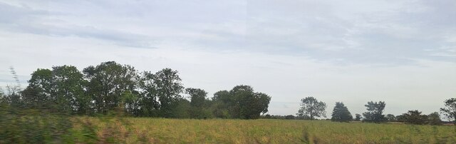
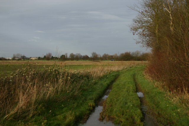
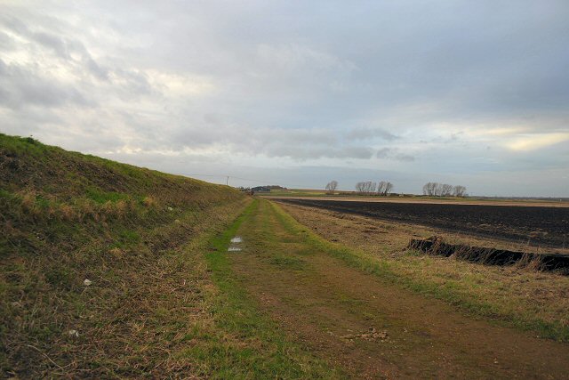
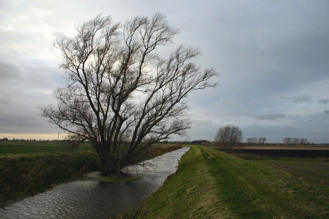
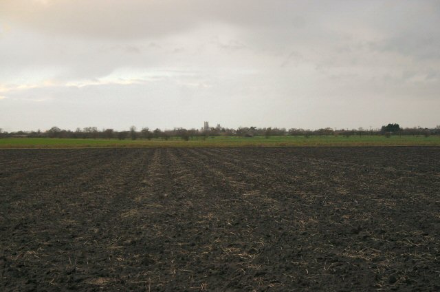
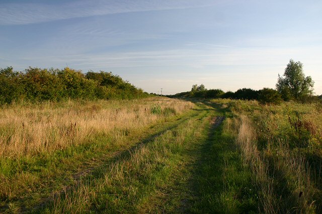
Blakeney Fen is a nature reserve located in Cambridgeshire, England. Spanning across an area of approximately 1,500 hectares, it is a diverse and ecologically rich landscape consisting of downs and moorland. The fen is characterized by its wetland habitats, including marshes, reed beds, and open water areas, making it an important site for a variety of plant and animal species.

The downs in Blakeney Fen are dominated by grasslands, which provide a home for a range of flowering plants such as harebell, yellow rattle, and cowslip. Additionally, these areas attract various bird species like skylarks and meadow pipits, which thrive in the open spaces.

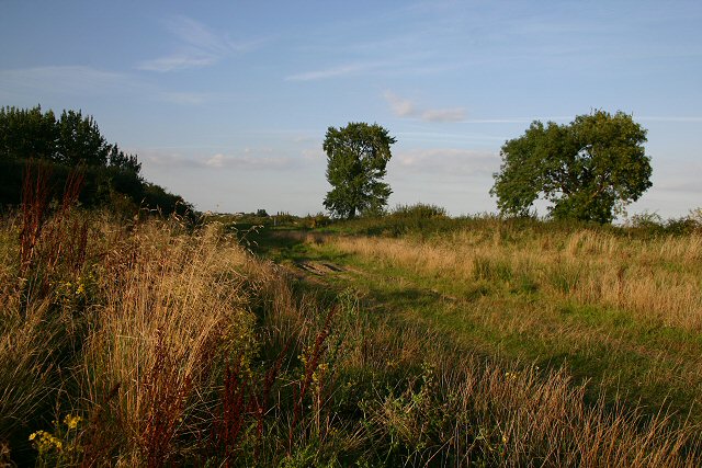
The moorland in Blakeney Fen is scattered with heather and gorse, creating a visually striking landscape. This habitat is a haven for several bird species, including stonechats and wheatears. Additionally, the moorland supports a diverse array of insects and invertebrates.

Blakeney Fen is also home to several wetland species, with its marshes and reed beds providing an ideal habitat for wetland birds, including marsh harriers, bitterns, and water rails. The open water areas in the fen are frequented by ducks, geese, and swans.

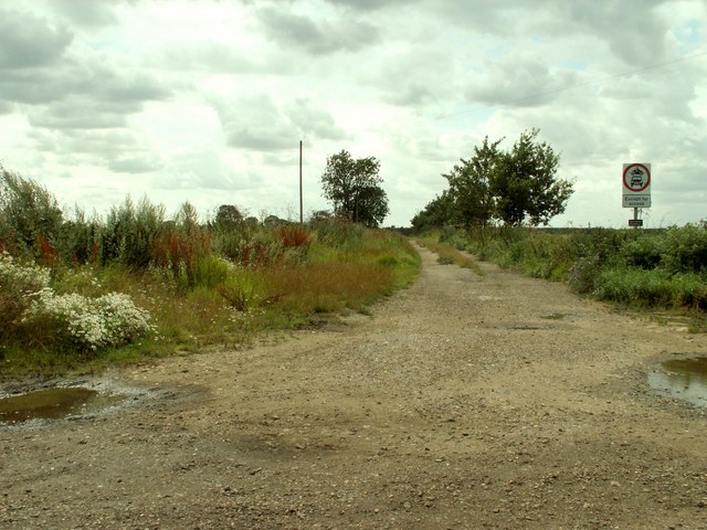
Visitors to Blakeney Fen can enjoy walking along the numerous trails that crisscross the reserve, providing opportunities for birdwatching and observing the diverse flora and fauna. The reserve also offers educational programs and guided tours to enhance visitors' understanding of the area's unique ecosystem.

Overall, Blakeney Fen is a captivating natural landscape that showcases the beauty and biodiversity of downs, moorland, and wetland habitats.

If you have any feedback on the listing, please let us know in the comments section below.
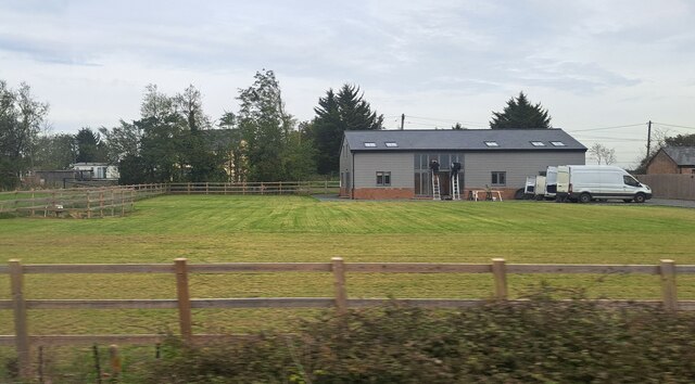
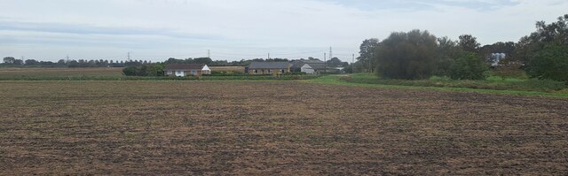
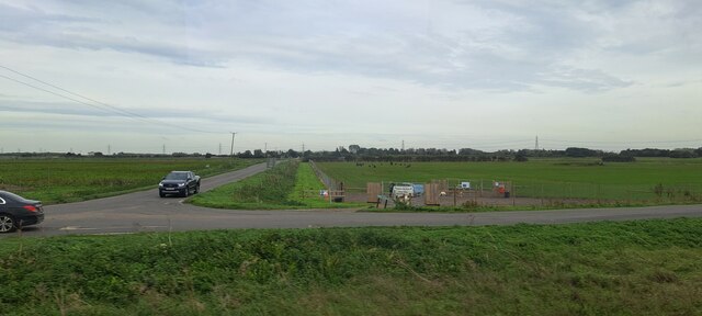
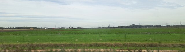
Blakeney Fen Images

Images are sourced within 2km of 52.350494/0.2850504 or Grid Reference TL5574. Thanks to Geograph Open Source API. All images are credited.

IHP Cotes Farm, The Cotes, Soham, from the railway
House on The Cotes, Soham
Westcote, Blockmoor Road, from the railway
Road junction at Barway Level Crossing, from the railway Tucked into the land between the roads is Soham Dog Park.
Road junction at Barway Level Crossing, from the railway
Tucked into the land between the roads is Soham Dog Park.
Fields north of Barway Road, from the railway In the foreground, Two Pole Drove runs parallel to the railway line.  In the distance, traffic marks the line of the road from Soham to Ely.
Fields north of Barway Road, from the railway
In the foreground, Two Pole Drove runs parallel to the railway line. In the distance, traffic marks the line of the road from Soham to Ely.
Woodland by the railway line, near Half Acre Lane The curving track of Half Acre Lane on the map, following a contour line, marks out this little area of higher ground, in which a small wood grows on what would once have been an island.
Woodland by the railway line, near Half Acre Lane
The curving track of Half Acre Lane on the map, following a contour line, marks out this little area of higher ground, in which a small wood grows on what would once have been an island.
Byway at Blockmoor Fen This byway leads from Soham Cotes to the A142 Ely to Soham road.
Byway at Blockmoor Fen
This byway leads from Soham Cotes to the A142 Ely to Soham road.
Bank of Soham Lode Low-lying fenland near Soham.
Bank of Soham Lode
Low-lying fenland near Soham.
Soham Lode Soham Lode is an artificial river, effectively a drainage ditch. The water in the river is considerably higher than the surrounding land, which is at sea-level.
Soham Lode
Soham Lode is an artificial river, effectively a drainage ditch. The water in the river is considerably higher than the surrounding land, which is at sea-level.
Unrelenting Fenland Ely Cathedral can be seen in the distance across Blockmoor Fen, north of Soham.
Unrelenting Fenland
Ely Cathedral can be seen in the distance across Blockmoor Fen, north of Soham.
Bridge over Soham Lode
Trig point and telemetrics at Hainey Hill; Ely Cathedral in distance.
Bridleway leading to High Fen Farm This is also a track called Shaw's Drove.
Bridleway leading to High Fen Farm
This is also a track called Shaw's Drove.
Highfield Drove, Barway This byway leads from Barway to the River Great Ouse at Lode End Bridge.
Highfield Drove, Barway
This byway leads from Barway to the River Great Ouse at Lode End Bridge.
Highfield Drove, Barway Looking south along the byway, towards the village of Barway.
Highfield Drove, Barway
Looking south along the byway, towards the village of Barway.
Soham Lode at Barway Bridge Soham Lode joins the River Great Ouse one kilometre north of this viewpoint. The Lode is a watercourse which was dug by Dutch prisoners of war in the seventeenth century, to divert water away from Soham Mere.
Soham Lode at Barway Bridge
Soham Lode joins the River Great Ouse one kilometre north of this viewpoint. The Lode is a watercourse which was dug by Dutch prisoners of war in the seventeenth century, to divert water away from Soham Mere.
Soham Lode at Barway The Lode continues northward beyond Barway Bridge, before joining up with the River Great Ouse.
Soham Lode at Barway
The Lode continues northward beyond Barway Bridge, before joining up with the River Great Ouse.
Soham Lode beyond Barway Bridge The Lode is navigable for small craft as far as Barway; beyond that only very small boats can travel further, as there is no turning area.
Soham Lode beyond Barway Bridge
The Lode is navigable for small craft as far as Barway; beyond that only very small boats can travel further, as there is no turning area.
Show me another place!

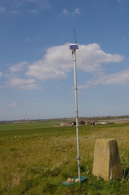
Blakeney Fen is located at Grid Ref: TL5574 (Lat: 52.350494, Lng: 0.2850504)

Administrative County: Cambridgeshire

District: East Cambridgeshire

Police Authority: Cambridgeshire

What 3 Words

///librarian.respect.elders. Near Soham, Cambridgeshire

Nearby Locations

Blakeney Fen

Related Wikis

River Granta

The River Granta is the name of two of the four tributaries of the River Cam, although both names are often used synonymously. The Granta starts near the...

Barway

Barway is a hamlet in Cambridgeshire, England, about three miles south of Ely. It is on Soham Lode, which flows into the River Cam. The population is included...

Delph Bridge Drain

Delph Bridge Drain is a 0.15-hectare (0.37-acre) biological Site of Special Scientific Interest north-west of Soham in Cambridgeshire.This site has the...

Stuntney

Stuntney is a village in East Cambridgeshire, located between Ely and Soham. It is just off the main road going from Newmarket to Ely, the A142. ��2�...

Nearby Amenities

Located within 500m of 52.350494,0.2850504
Sedge Fen
Created By: Potlatch 0.10b
Place: locality
Source: npe
Lat/Long: 52.3491816/0.2901186
The data included in this document is from www.openstreetmap.org. The data is made available under ODbL.

Have you been to Blakeney Fen?

Leave your review of Blakeney Fen below (or comments, questions and feedback).